Newton is a city in Catawba County, North Carolina, United States. As of the 2010 census, the city had a population of 12,968. It is the county seat of Catawba County. Newton is part of the Hickory–Lenoir–Morganton Metropolitan Statistical Area.
| Name: | Newton city |
|---|---|
| LSAD Code: | 25 |
| LSAD Description: | city (suffix) |
| State: | North Carolina |
| County: | Catawba County |
| Elevation: | 1,001 ft (305 m) |
| Total Area: | 13.85 sq mi (35.87 km²) |
| Land Area: | 13.80 sq mi (35.73 km²) |
| Water Area: | 0.05 sq mi (0.14 km²) |
| Total Population: | 13,148 |
| Population Density: | 953.03/sq mi (367.98/km²) |
| ZIP code: | 28658 |
| Area code: | 828 |
| FIPS code: | 3747000 |
| GNISfeature ID: | 0991138 |
| Website: | www.newtonnc.gov |
Online Interactive Map
Click on ![]() to view map in "full screen" mode.
to view map in "full screen" mode.
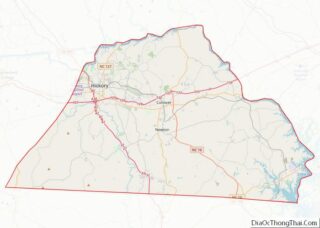
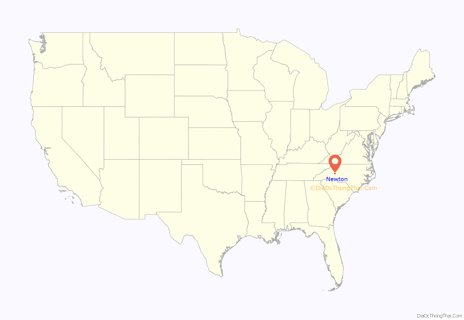
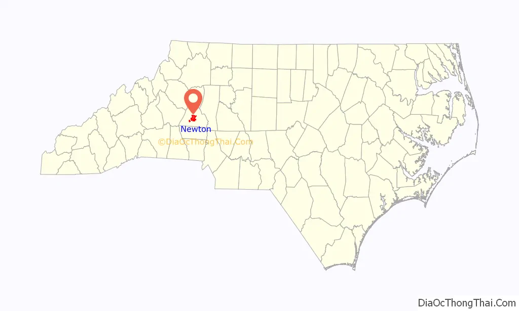
Newton location map. Where is Newton city?
History
Newton was established in 1845 and incorporated in 1855. It was named for Isaac Newton Wilson, a state legislator who had introduced the bill creating Catawba County.
Newton Road Map
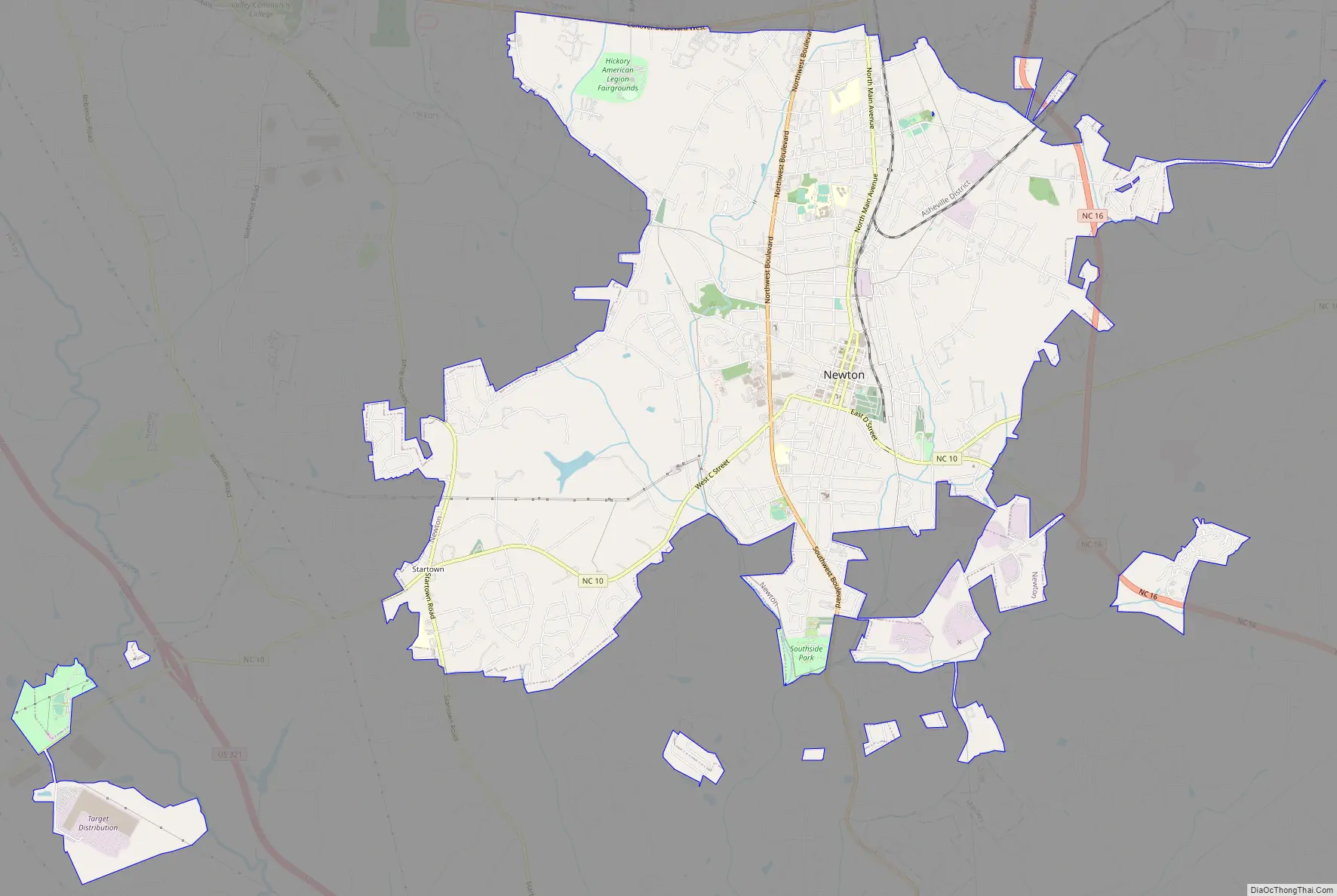
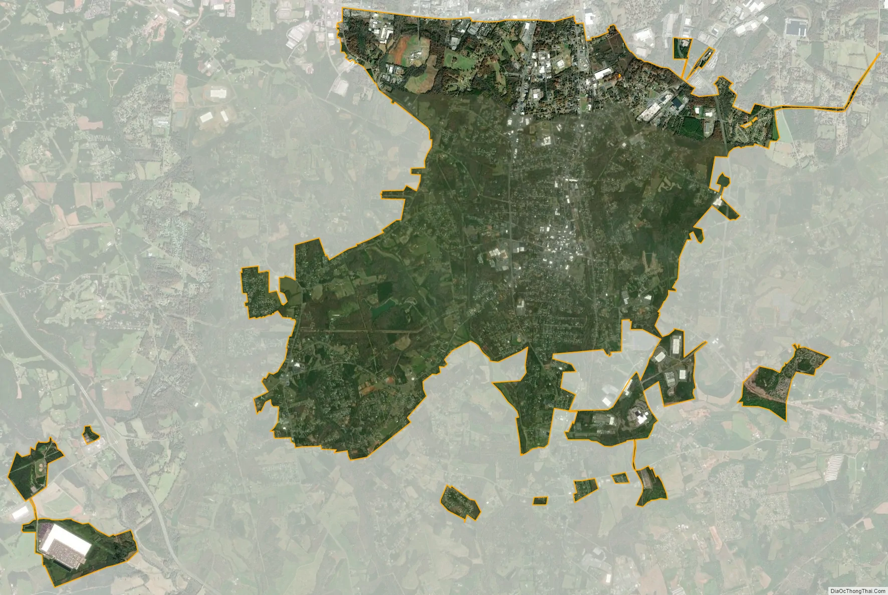
Newton city Satellite Map
Geography
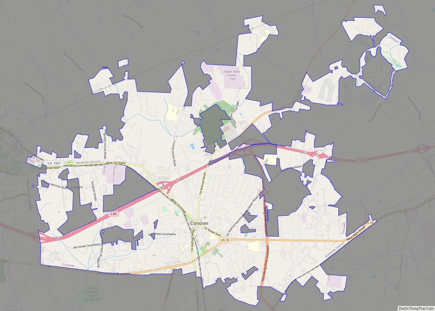
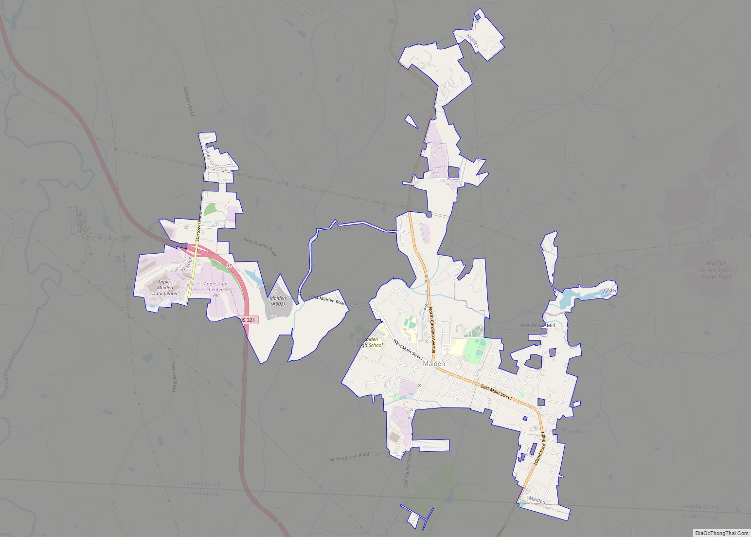
Newton is located at the center of Catawba County, at 35°39’54” North, 81°13’28” West (35.665082, −81.224351). It is bordered to the north by Conover and to the northwest by Hickory. Claremont is to the northeast, and Maiden is to the south.
According to the United States Census Bureau, the city has a total area of 13.8 square miles (35.8 km), of which 13.8 square miles (35.7 km) is land and 0.04 square miles (0.1 km), or 0.37%, is water.
See also
Map of North Carolina State and its subdivision:- Alamance
- Alexander
- Alleghany
- Anson
- Ashe
- Avery
- Beaufort
- Bertie
- Bladen
- Brunswick
- Buncombe
- Burke
- Cabarrus
- Caldwell
- Camden
- Carteret
- Caswell
- Catawba
- Chatham
- Cherokee
- Chowan
- Clay
- Cleveland
- Columbus
- Craven
- Cumberland
- Currituck
- Dare
- Davidson
- Davie
- Duplin
- Durham
- Edgecombe
- Forsyth
- Franklin
- Gaston
- Gates
- Graham
- Granville
- Greene
- Guilford
- Halifax
- Harnett
- Haywood
- Henderson
- Hertford
- Hoke
- Hyde
- Iredell
- Jackson
- Johnston
- Jones
- Lee
- Lenoir
- Lincoln
- Macon
- Madison
- Martin
- McDowell
- Mecklenburg
- Mitchell
- Montgomery
- Moore
- Nash
- New Hanover
- Northampton
- Onslow
- Orange
- Pamlico
- Pasquotank
- Pender
- Perquimans
- Person
- Pitt
- Polk
- Randolph
- Richmond
- Robeson
- Rockingham
- Rowan
- Rutherford
- Sampson
- Scotland
- Stanly
- Stokes
- Surry
- Swain
- Transylvania
- Tyrrell
- Union
- Vance
- Wake
- Warren
- Washington
- Watauga
- Wayne
- Wilkes
- Wilson
- Yadkin
- Yancey
- Alabama
- Alaska
- Arizona
- Arkansas
- California
- Colorado
- Connecticut
- Delaware
- District of Columbia
- Florida
- Georgia
- Hawaii
- Idaho
- Illinois
- Indiana
- Iowa
- Kansas
- Kentucky
- Louisiana
- Maine
- Maryland
- Massachusetts
- Michigan
- Minnesota
- Mississippi
- Missouri
- Montana
- Nebraska
- Nevada
- New Hampshire
- New Jersey
- New Mexico
- New York
- North Carolina
- North Dakota
- Ohio
- Oklahoma
- Oregon
- Pennsylvania
- Rhode Island
- South Carolina
- South Dakota
- Tennessee
- Texas
- Utah
- Vermont
- Virginia
- Washington
- West Virginia
- Wisconsin
- Wyoming