Norlina is a town in Warren County, North Carolina, United States. The population was 1,118 at the 2010 census.
| Name: | Norlina town |
|---|---|
| LSAD Code: | 43 |
| LSAD Description: | town (suffix) |
| State: | North Carolina |
| County: | Warren County |
| Elevation: | 423 ft (129 m) |
| Total Area: | 1.12 sq mi (2.90 km²) |
| Land Area: | 1.11 sq mi (2.88 km²) |
| Water Area: | 0.01 sq mi (0.02 km²) |
| Total Population: | 920 |
| Population Density: | 826.59/sq mi (319.25/km²) |
| ZIP code: | 27563 |
| Area code: | 252 |
| FIPS code: | 3747240 |
| GNISfeature ID: | 0991179 |
| Website: | www.norlinanc.com |
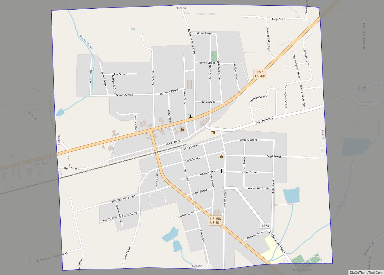
Online Interactive Map
Click on ![]() to view map in "full screen" mode.
to view map in "full screen" mode.
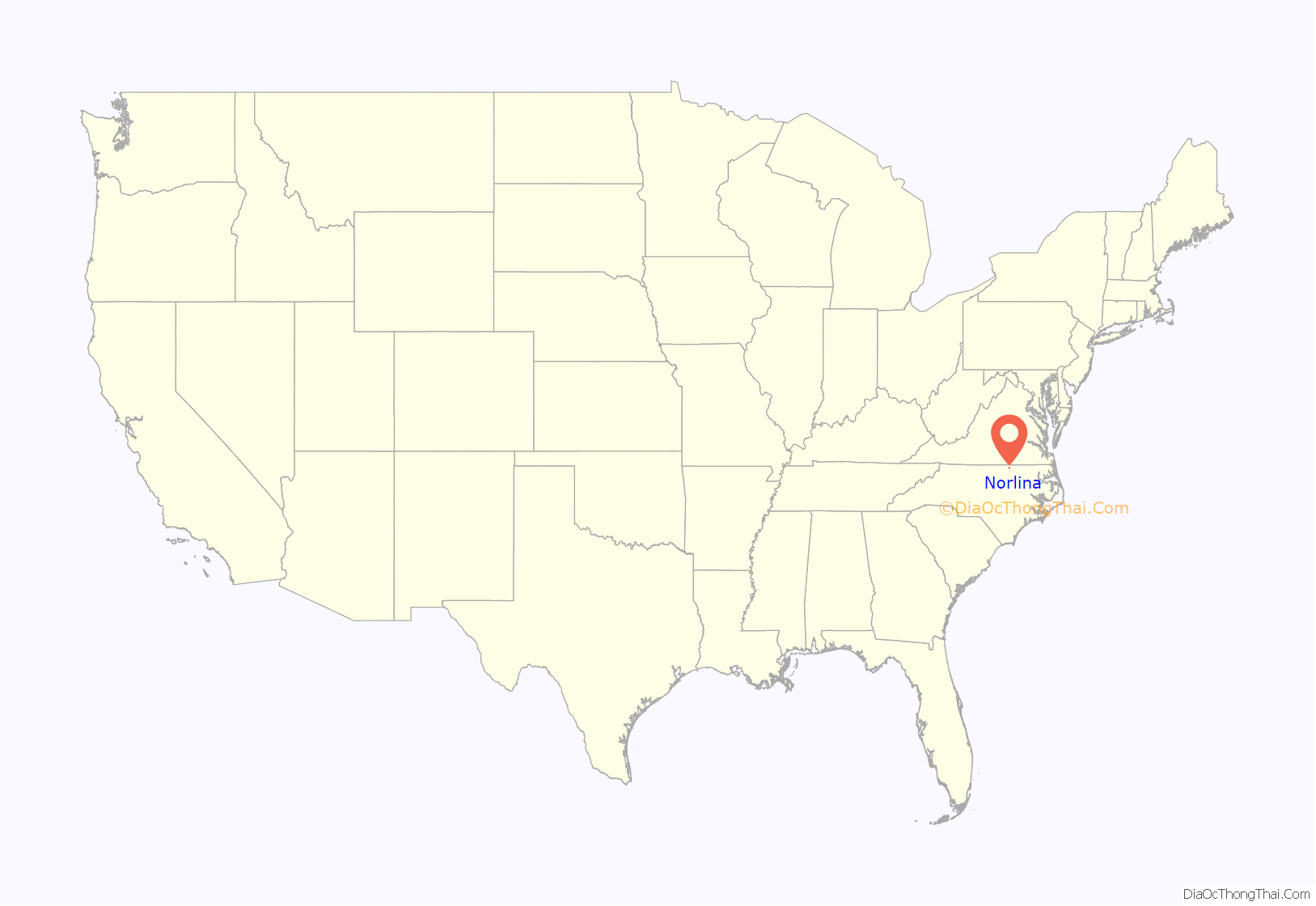
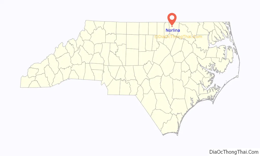
Norlina location map. Where is Norlina town?
History
Norlina was first called the “Ridgeway Junction” in 1837. As a railroad passed through this area, many citizens started to sell wood and water to the railroad. Eventually this began to expand, and in the 1860s the name changed to the “Woodyard”. By the 1870s, the area had grown in business, and was referred to as the “Junction”. The Seaboard & Raleigh Railroad had just been formed, and the “Junction” was now thriving with its business. A small community was formed, including two hardware stores, a horse drawn taxi service, and smithing shops. By 1900, John Williams established the Seaboard Air Line Railway and it grew to over 4,680 miles. This small group of people had turned the railway stop into a real town. In 1913 the name Norlina was coined, being a portmanteau of the beginning of “North” and the ending of “Carolina”.
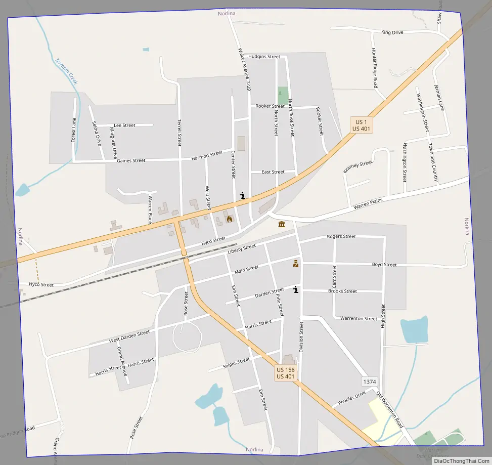
Norlina Road Map
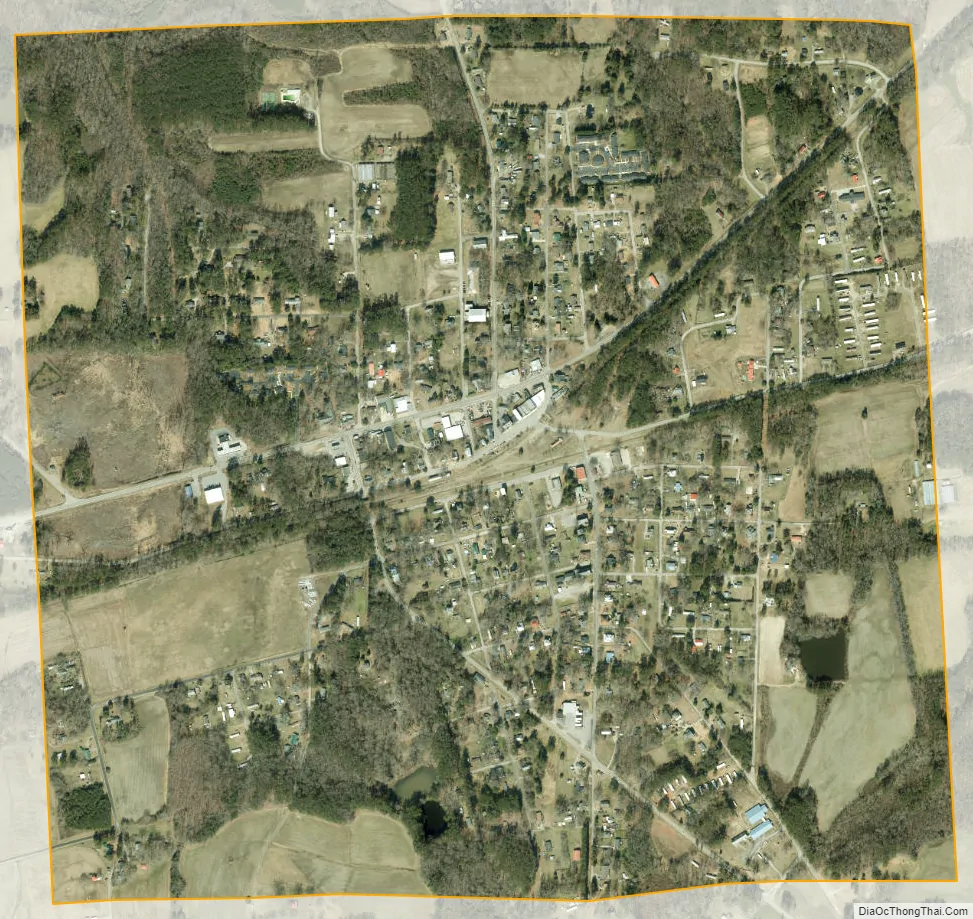
Norlina city Satellite Map
Geography
Norlina is located at 36°26′41″N 78°11′39″W / 36.44472°N 78.19417°W / 36.44472; -78.19417 (36.444690, -78.194059).
According to the United States Census Bureau, the town has a total area of 1.12 square miles (2.9 km), all land.
See also
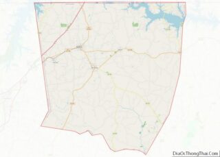
Map of North Carolina State and its subdivision:- Alamance
- Alexander
- Alleghany
- Anson
- Ashe
- Avery
- Beaufort
- Bertie
- Bladen
- Brunswick
- Buncombe
- Burke
- Cabarrus
- Caldwell
- Camden
- Carteret
- Caswell
- Catawba
- Chatham
- Cherokee
- Chowan
- Clay
- Cleveland
- Columbus
- Craven
- Cumberland
- Currituck
- Dare
- Davidson
- Davie
- Duplin
- Durham
- Edgecombe
- Forsyth
- Franklin
- Gaston
- Gates
- Graham
- Granville
- Greene
- Guilford
- Halifax
- Harnett
- Haywood
- Henderson
- Hertford
- Hoke
- Hyde
- Iredell
- Jackson
- Johnston
- Jones
- Lee
- Lenoir
- Lincoln
- Macon
- Madison
- Martin
- McDowell
- Mecklenburg
- Mitchell
- Montgomery
- Moore
- Nash
- New Hanover
- Northampton
- Onslow
- Orange
- Pamlico
- Pasquotank
- Pender
- Perquimans
- Person
- Pitt
- Polk
- Randolph
- Richmond
- Robeson
- Rockingham
- Rowan
- Rutherford
- Sampson
- Scotland
- Stanly
- Stokes
- Surry
- Swain
- Transylvania
- Tyrrell
- Union
- Vance
- Wake
- Warren
- Washington
- Watauga
- Wayne
- Wilkes
- Wilson
- Yadkin
- Yancey
- Alabama
- Alaska
- Arizona
- Arkansas
- California
- Colorado
- Connecticut
- Delaware
- District of Columbia
- Florida
- Georgia
- Hawaii
- Idaho
- Illinois
- Indiana
- Iowa
- Kansas
- Kentucky
- Louisiana
- Maine
- Maryland
- Massachusetts
- Michigan
- Minnesota
- Mississippi
- Missouri
- Montana
- Nebraska
- Nevada
- New Hampshire
- New Jersey
- New Mexico
- New York
- North Carolina
- North Dakota
- Ohio
- Oklahoma
- Oregon
- Pennsylvania
- Rhode Island
- South Carolina
- South Dakota
- Tennessee
- Texas
- Utah
- Vermont
- Virginia
- Washington
- West Virginia
- Wisconsin
- Wyoming