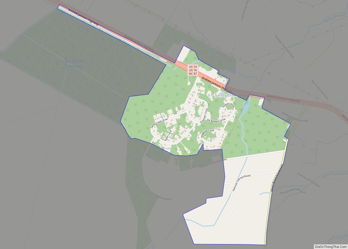
Sandy Creek is a town in Brunswick County, North Carolina, United States. The population was 260 at the 2010 census. It is part of the Myrtle Beach metropolitan area. Sandy Creek town overview: Name: Sandy Creek town LSAD Code: 43 LSAD Description: town (suffix) State: North Carolina County: Brunswick County Elevation: 39 ft (12 m) Total Area: ... Read more
North Carolina Cities and Places
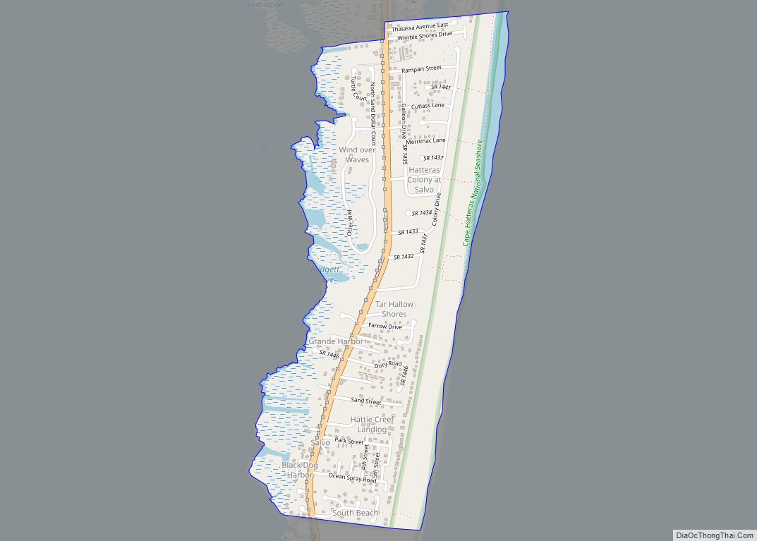
Salvo is a census-designated place located in Dare County, North Carolina, United States, on Hatteras Island, part of North Carolina’s Outer Banks. As of the 2010 census, Salvo had a population of 229. Originally (with Rodanthe and Waves) part of the settlement of Chicamacomico, Salvo was originally known as “Clarks” or “Clarksville.” The name “Salvo” ... Read more
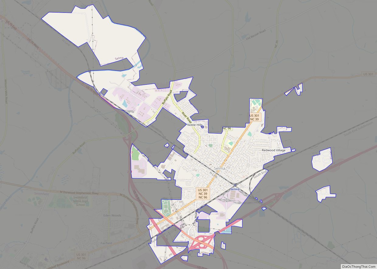
Selma is a town in Johnston County, North Carolina, United States. In 2010, the population was 6,073, and as of 2018 the estimated population was 6,913. Selma is part of the Raleigh-Durham-Cary Combined Statistical Area. The area has a population over 1.7 million residents, though the town of Selma is able to maintain its rural ... Read more
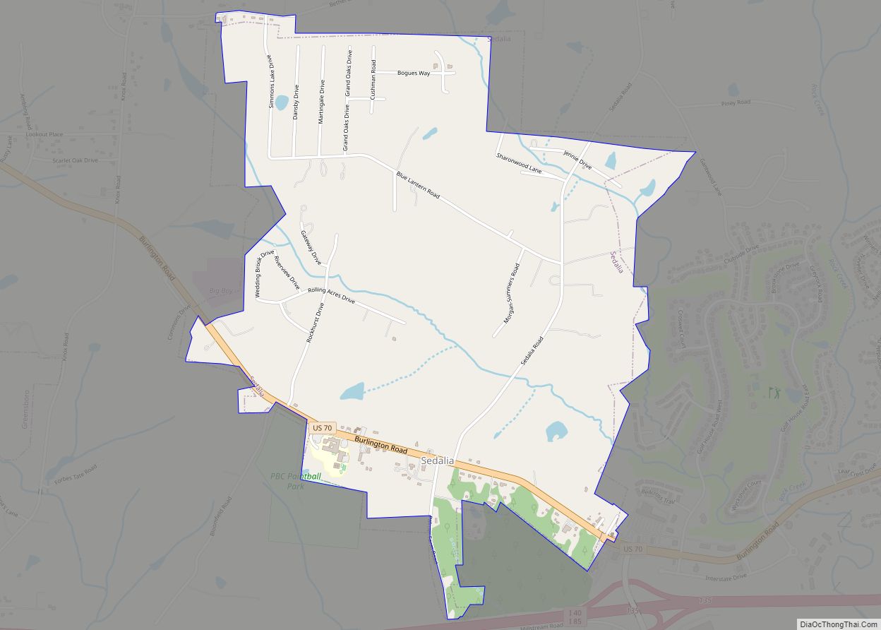
Sedalia is a town in Guilford County, North Carolina, United States. The population was 623 at the 2010 census. Sedalia town overview: Name: Sedalia town LSAD Code: 43 LSAD Description: town (suffix) State: North Carolina County: Guilford County Elevation: 702 ft (214 m) Total Area: 2.01 sq mi (5.20 km²) Land Area: 2.00 sq mi (5.18 km²) Water Area: 0.01 sq mi (0.02 km²) Total Population: ... Read more
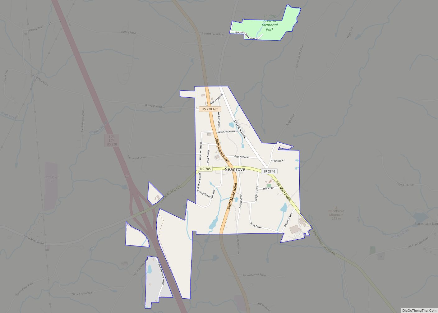
Seagrove is a town in Randolph County, North Carolina, United States. The population was 285 at the 2019 census. It was named after a railroad official when the area was connected by rail. The center of population of North Carolina is located a few miles east of Seagrove. In this usage, the name Seagrove not ... Read more
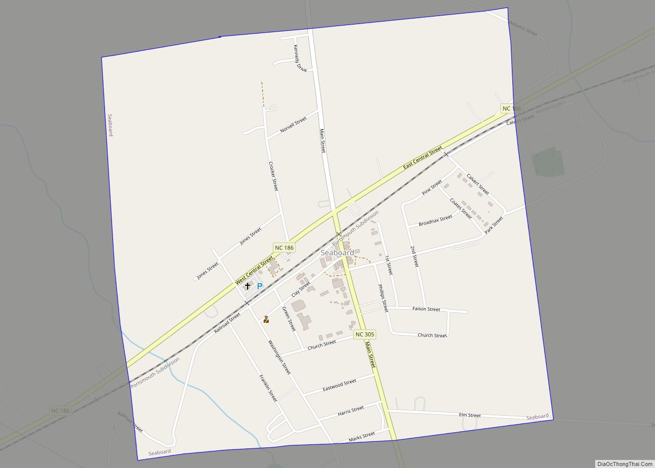
Seaboard is a township in Northampton County, North Carolina, United States, created as a company town by the Seaboard and Roanoke Railroad, approximately 10 miles northeast of Weldon in the mid-1840s as a place for railroad employees to live. The population was 632 at the 2010 census. It is part of the Roanoke Rapids, North ... Read more
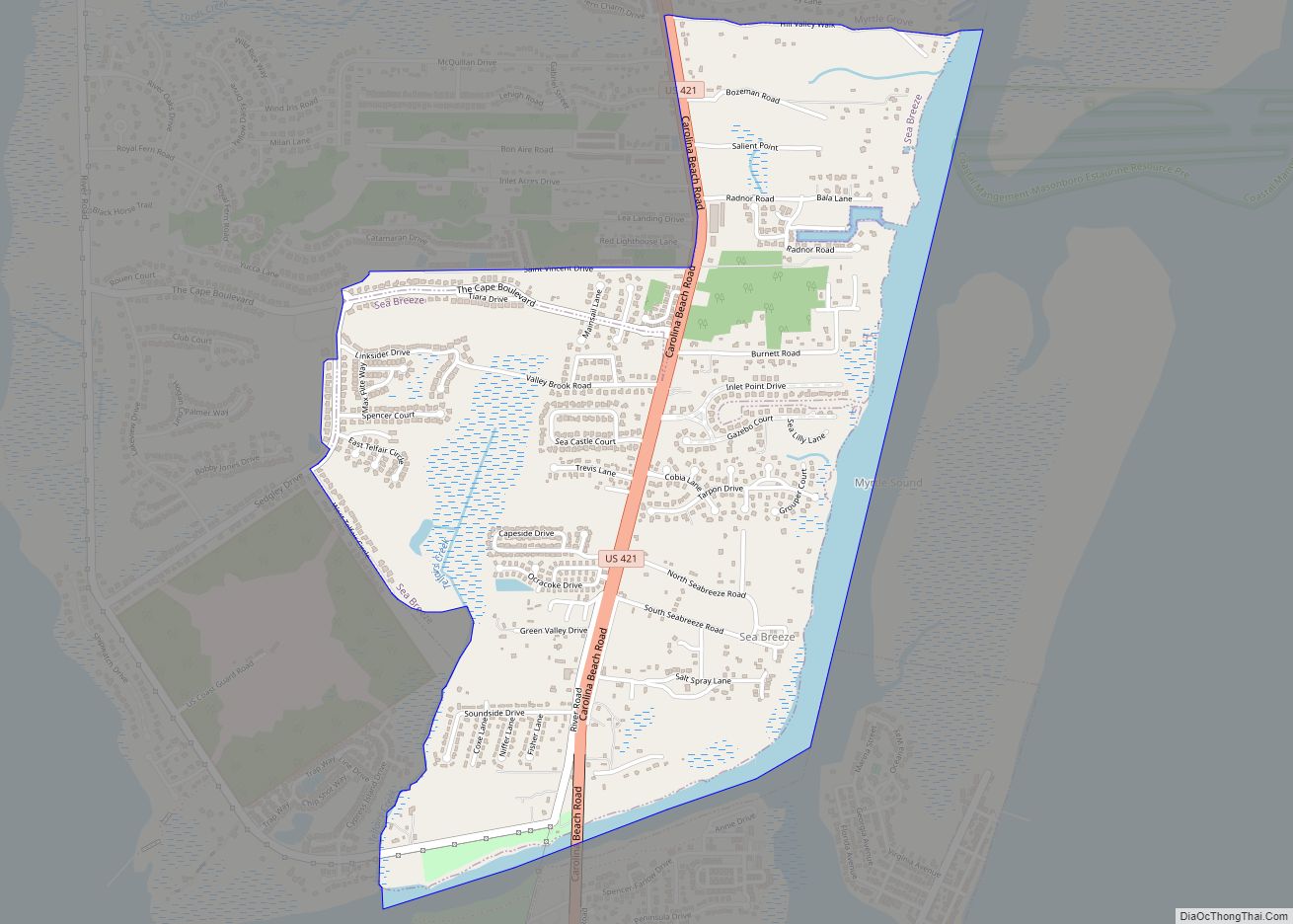
Sea Breeze is a census-designated place (CDP) in New Hanover County, North Carolina, United States. The population was 1,969 at the 2010 census, up from 1,312 in 2000. It is part of the Wilmington Metropolitan Statistical Area. Sea Breeze CDP overview: Name: Sea Breeze CDP LSAD Code: 57 LSAD Description: CDP (suffix) State: North Carolina ... Read more
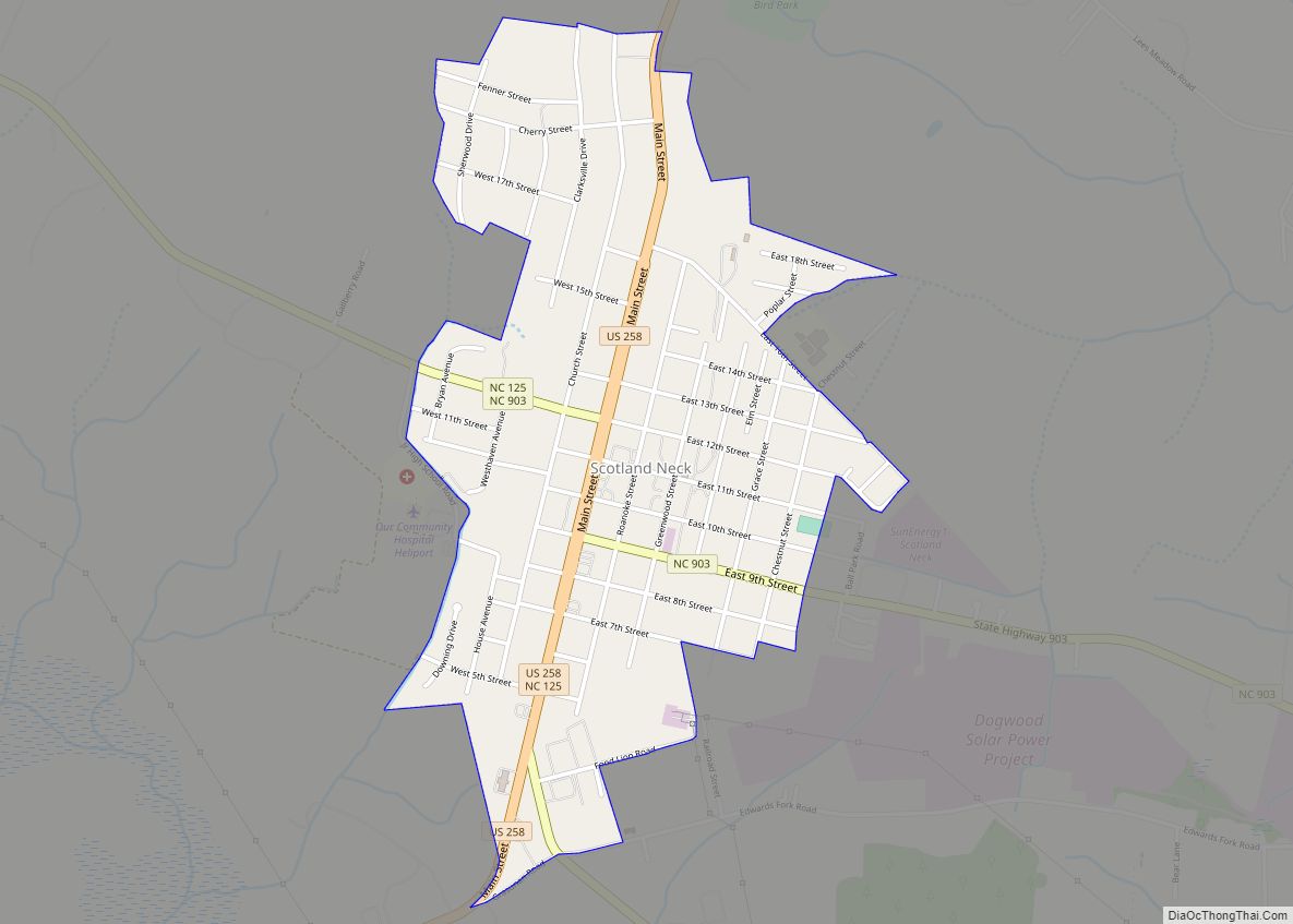
Scotland Neck is a town in Halifax County, North Carolina, United States. According to the 2010 census, the town population was 2,059. It is part of the Roanoke Rapids, North Carolina Micropolitan Statistical Area. Scotland Neck town overview: Name: Scotland Neck town LSAD Code: 43 LSAD Description: town (suffix) State: North Carolina County: Halifax County ... Read more
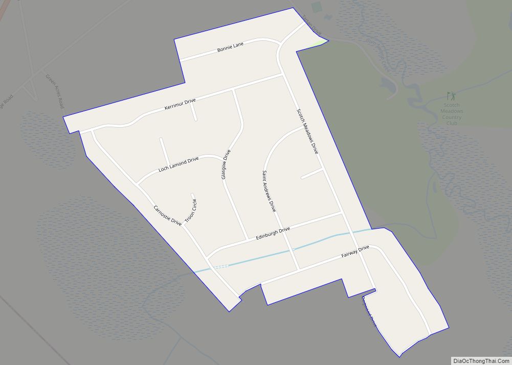
Scotch Meadows is an unincorporated community and census-designated place in Scotland County, North Carolina, United States. Its population was 580 as of the 2010 census. Scotch Meadows CDP overview: Name: Scotch Meadows CDP LSAD Code: 57 LSAD Description: CDP (suffix) State: North Carolina County: Scotland County Elevation: 190 ft (60 m) Total Area: 0.34 sq mi (0.88 km²) Land Area: ... Read more
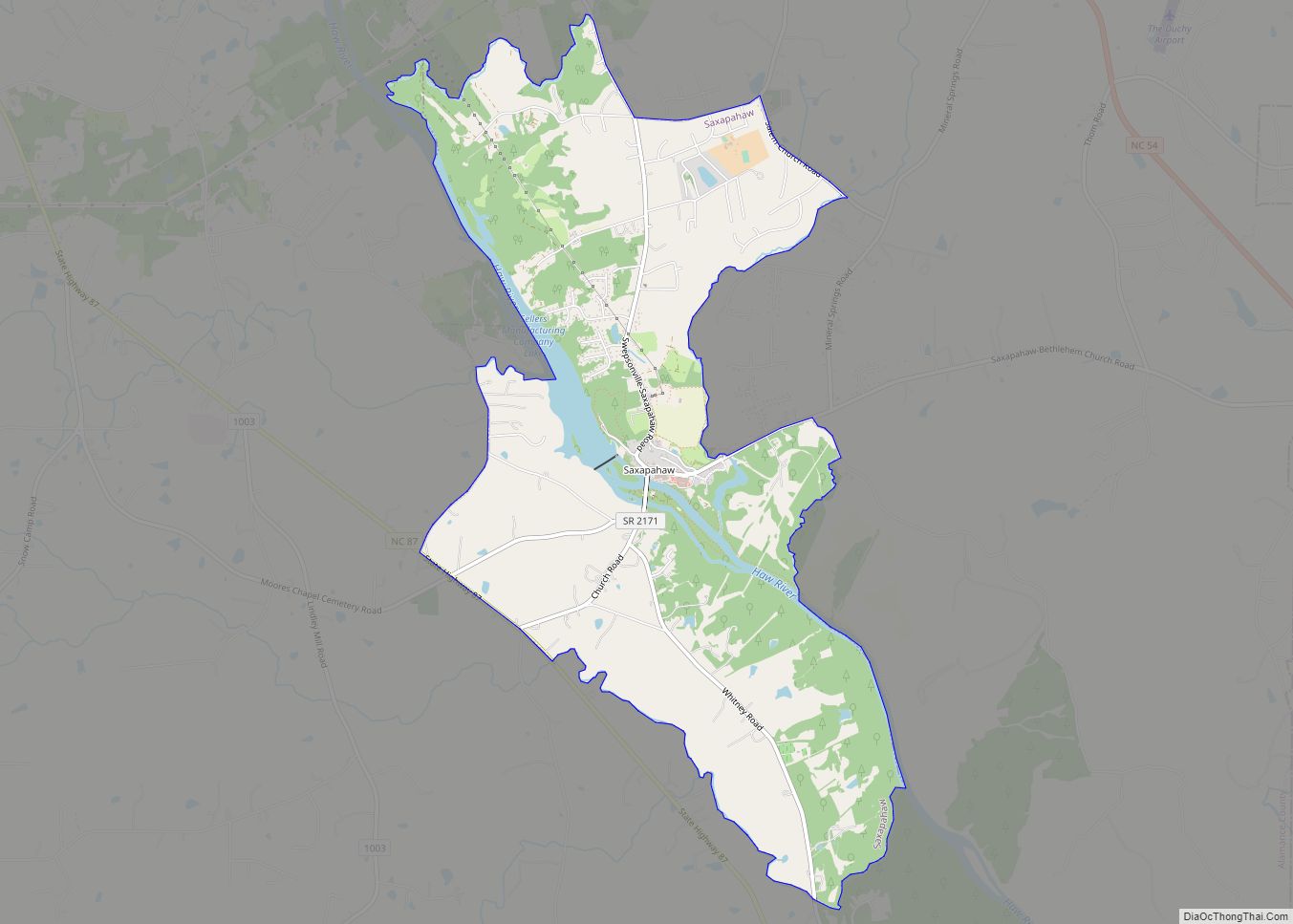
Saxapahaw CDP overview: Name: Saxapahaw CDP LSAD Code: 57 LSAD Description: CDP (suffix) State: North Carolina County: Alamance County FIPS code: 3759580 Online Interactive Map Saxapahaw online map. Source: Basemap layers from Google Map, Open Street Map (OSM), Arcgisonline, Wmflabs. Boundary Data from Database of Global Administrative Areas. Saxapahaw location map. Where is Saxapahaw CDP? ... Read more
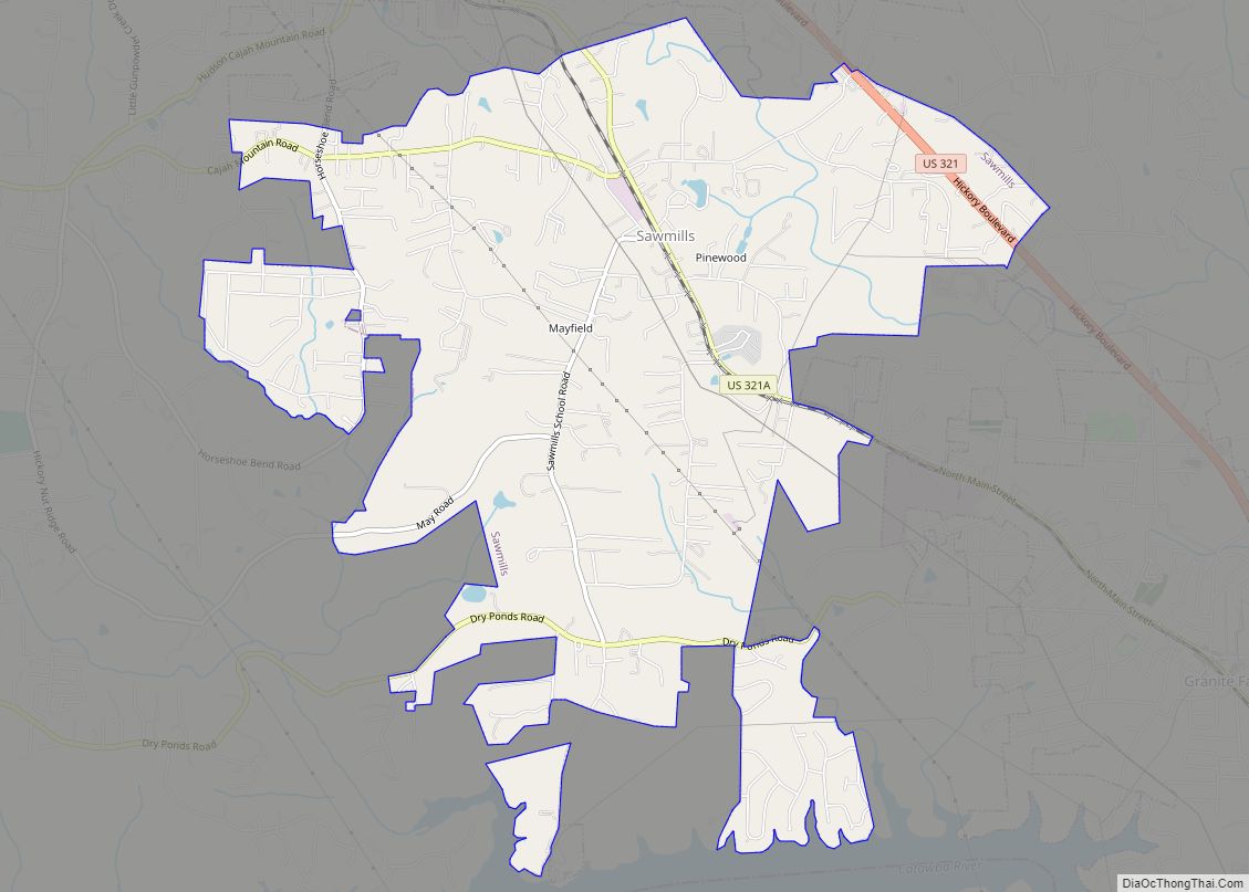
Sawmills is a town in Caldwell County, North Carolina, United States. As of the 2010 census, the town population was 5,240. It is part of the Hickory–Lenoir–Morganton Metropolitan Statistical Area. The town is named after the timber industry that formerly predominated in the area during its early history. Sawmills town overview: Name: Sawmills town LSAD ... Read more
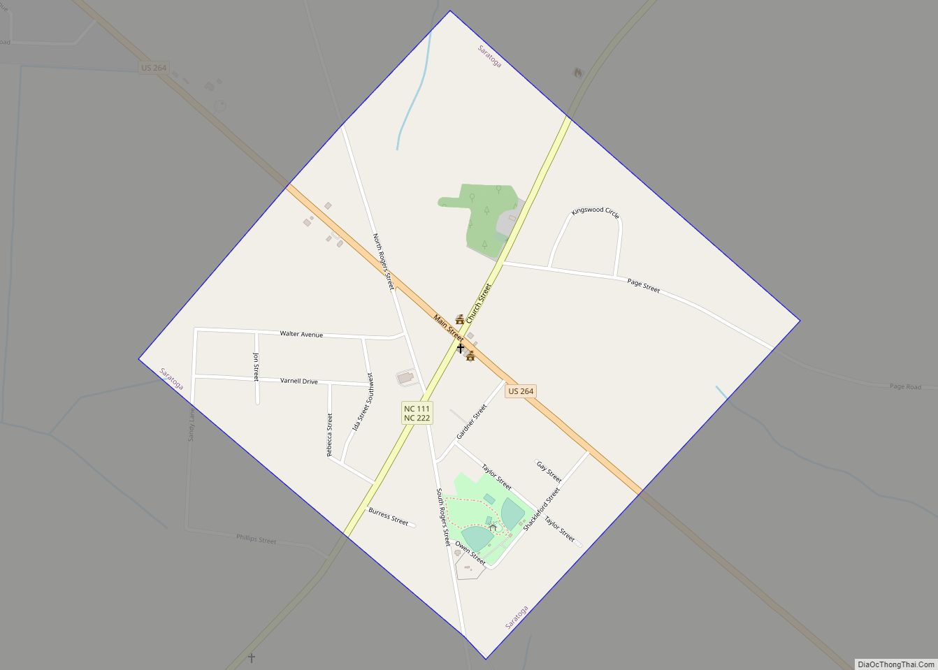
Saratoga is a town in Wilson County, North Carolina, United States. The population was 408 at the 2010 census. Saratoga town overview: Name: Saratoga town LSAD Code: 43 LSAD Description: town (suffix) State: North Carolina County: Wilson County Elevation: 118 ft (36 m) Total Area: 0.63 sq mi (1.64 km²) Land Area: 0.63 sq mi (1.64 km²) Water Area: 0.00 sq mi (0.00 km²) Total Population: ... Read more
