Seagrove is a town in Randolph County, North Carolina, United States. The population was 285 at the 2019 census. It was named after a railroad official when the area was connected by rail. The center of population of North Carolina is located a few miles east of Seagrove.
In this usage, the name Seagrove not only refers to the town proper, but also includes several other communities that are part of the pottery tradition along and near the “North Carolina Pottery Highway” (NC-705). Over 100 potteries are located in Seagrove and the neighboring towns of Star, Whynot, Erect, Westmoore, Happy Hollow, and Robbins. Seagrove is also home to the North Carolina Pottery Center, which was established on November 7, 1998, and has since received visitors from across the continent and around the world.
| Name: | Seagrove town |
|---|---|
| LSAD Code: | 43 |
| LSAD Description: | town (suffix) |
| State: | North Carolina |
| County: | Randolph County |
| Elevation: | 748 ft (228 m) |
| Total Area: | 1.15 sq mi (2.98 km²) |
| Land Area: | 1.15 sq mi (2.97 km²) |
| Water Area: | 0.01 sq mi (0.01 km²) |
| Total Population: | 235 |
| Population Density: | 205.24/sq mi (79.23/km²) |
| ZIP code: | 27341 |
| Area code: | 336 |
| FIPS code: | 3760080 |
| GNISfeature ID: | 1020072 |
| Website: | www.townofseagrove.org/index.html |
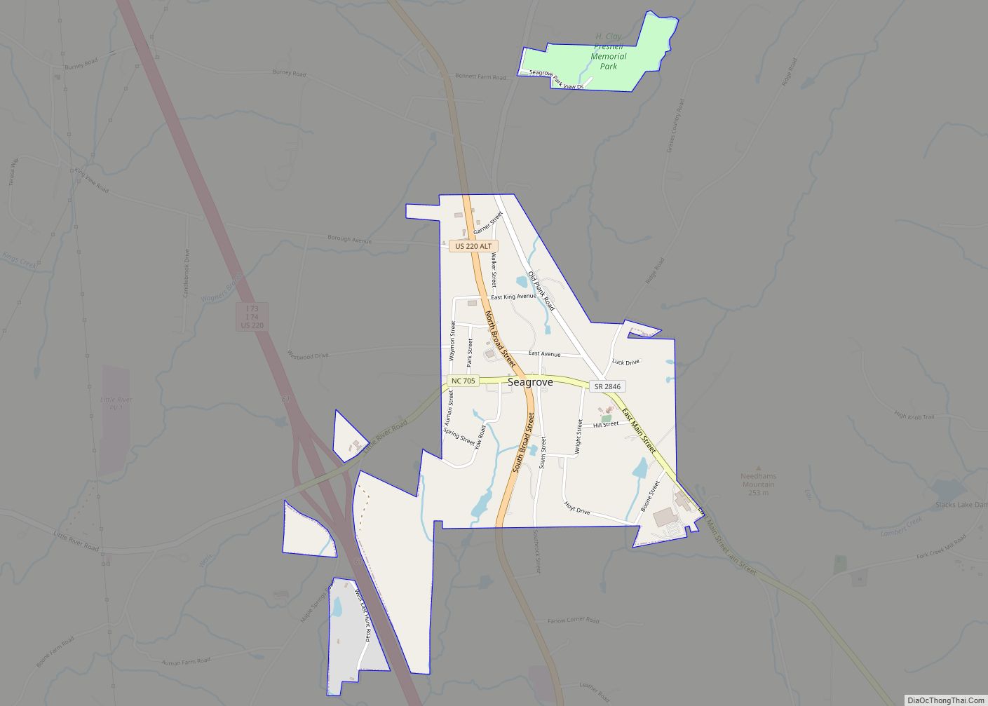
Online Interactive Map
Click on ![]() to view map in "full screen" mode.
to view map in "full screen" mode.
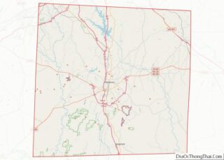
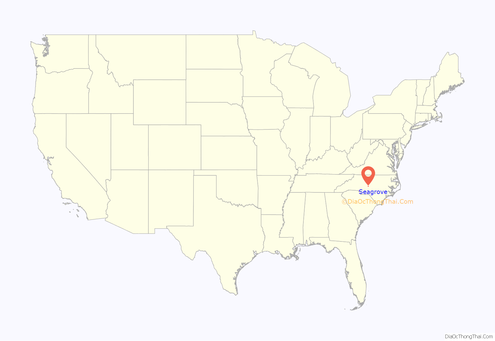
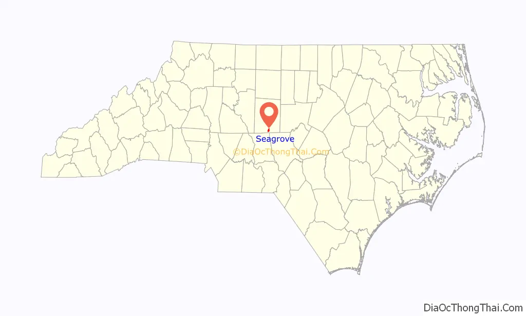
Seagrove location map. Where is Seagrove town?
History
Seagrove was named for Edwin G. Seagraves, a railroad official who was responsible for routing a railroad through the area. According to local sources, after a unanimous decision to name the station after Seagraves, the town name resulted from a sign painter running out of space and simply dropping the ‘s’ from the end of the name. Also the painter misspelled Seagraves as Seagrove. The railroad served Seagrove until December 31, 1951. The old train depot later was adapted as a pottery museum.
Plank Road
Construction of Plank Road began in 1849. Plank Road extended 129 miles (208 km) and was made of planks 8 feet (2.4 m) long, 9 to 16 inches (230 to 410 mm) wide, and 3 inches (76 mm) thick. The road carried horseback riders, wagons, and stagecoaches. A toll of one cent per mile (1.6 km) was charged for a wagon and four horses. Toll revenues declined after construction of the railroad, and by 1862 much of Plank Road was abandoned.
Parts of North Carolina Highway 705 follow the Plank Road route.
Seagrove School
A school funded by members of the community was established on April 3, 1911. The school moved to a new site in 1918 and again in 1926. The school burned on March 24, 1934, and was subsequently rebuilt. The small Seagrove school accepted students from elementary to high school until the fall of 1970.
In 1970 high school students were reassigned to the new Southwestern Randolph High School. In the fall of 1990, Seagrove students in the 6th through 8th grades began attending Southwestern Randolph Middle School. Today, the building is known as Seagrove Elementary School and serves students only from Kindergarten until the 5th grade.
Pottery
Seagrove’s pottery tradition dates back to the 18th century before the American Revolution. Many of the first Seagrove potters were Scots-Irish immigrants. They primarily produced functional, glazed earthenware. Due to the high quality of the local clay and transportation access for traders, Seagrove became known for its pottery.
The popularity of Seagrove pottery fell off during the Industrial Revolution and the advent of modern food preparation. For a time whisky jugs were a successful source of income, but the beverage was outlawed. The potteries continued their decline in the early 20th century.
In 1915, Jacques and Juliana Busbee of Raleigh made an effort to revive the industry. Over several decades, the Busbee’s hired Seagrove potters JH Owen, Charlie Teague, and Ben Owen to make signature wares under the name Jugtown Pottery to sell in the Village Shop, which they opened in Greenwich Village, NYC, and later from the Jugtown shop in Seagrove.
Around 1920, a new market developed as the pottery became popular with tourists driving past on their way to Pinehurst, Southern Pines, or Florida buying inexpensive souvenirs. The new tourist industry marked a general change from utilitarian pottery to more decorative ware. After another decline from the 1950s through 1970s due to the road being replaced with the Interstate, a renewed interest in traditional pottery developed. In 1982 a group of local potters founded the North Carolina Museum of Traditional Pottery and organized the Seagrove Pottery Festival, an annual event held each year the weekend before Thanksgiving in the old bean cannery.
The Cole, Auman, Owen, Teague, and Albright families are eighth- and ninth-generation potters in Seagrove who continue this tradition.
Some of the oldest, historic pottery locations still in operation include the “Original” Owens Pottery founded in 1895 and Jugtown Pottery founded in 1921. Jugtown Pottery was added to the National Register of Historic Places in 1999.
Pinto Beans
Seagrove has a tradition in food products, and was home for many years to Luck’s Incorporated, founded in the 1950s as Mountain View Cannery in the 1950s by Ivey B. Luck, Alfred Spencer & H. Clay Presnell. When Spencer and Presnell sold out to Luck, the establishment became known as Luck’s. Luck’s specialized in pinto beans and other canned vegetables and food products, and employed many Seagrove families. Bought out by American Home Products and then later by Conagra Foods and Arizona Canning Company, the Luck’s plant closed in 2002. Currently, the plant is being used as the towns police station as well as being used for the “Celebration of Seagrove Potters” every November, and other local events.
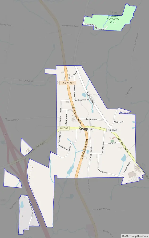
Seagrove Road Map
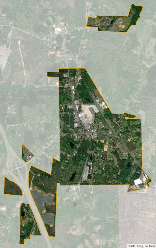
Seagrove city Satellite Map
Geography
Seagrove is located at 35°32′32″N 79°46′41″W / 35.54222°N 79.77806°W / 35.54222; -79.77806 (35.542167, -79.778114).
According to the United States Census Bureau, the town has a total area of 0.7 square miles (1.8 km), of which 0.7 square miles (1.8 km) is land and 1.37% is water.
The center of population for the state of North Carolina is located approximately two miles east of Seagrove.
See also
Map of North Carolina State and its subdivision:- Alamance
- Alexander
- Alleghany
- Anson
- Ashe
- Avery
- Beaufort
- Bertie
- Bladen
- Brunswick
- Buncombe
- Burke
- Cabarrus
- Caldwell
- Camden
- Carteret
- Caswell
- Catawba
- Chatham
- Cherokee
- Chowan
- Clay
- Cleveland
- Columbus
- Craven
- Cumberland
- Currituck
- Dare
- Davidson
- Davie
- Duplin
- Durham
- Edgecombe
- Forsyth
- Franklin
- Gaston
- Gates
- Graham
- Granville
- Greene
- Guilford
- Halifax
- Harnett
- Haywood
- Henderson
- Hertford
- Hoke
- Hyde
- Iredell
- Jackson
- Johnston
- Jones
- Lee
- Lenoir
- Lincoln
- Macon
- Madison
- Martin
- McDowell
- Mecklenburg
- Mitchell
- Montgomery
- Moore
- Nash
- New Hanover
- Northampton
- Onslow
- Orange
- Pamlico
- Pasquotank
- Pender
- Perquimans
- Person
- Pitt
- Polk
- Randolph
- Richmond
- Robeson
- Rockingham
- Rowan
- Rutherford
- Sampson
- Scotland
- Stanly
- Stokes
- Surry
- Swain
- Transylvania
- Tyrrell
- Union
- Vance
- Wake
- Warren
- Washington
- Watauga
- Wayne
- Wilkes
- Wilson
- Yadkin
- Yancey
- Alabama
- Alaska
- Arizona
- Arkansas
- California
- Colorado
- Connecticut
- Delaware
- District of Columbia
- Florida
- Georgia
- Hawaii
- Idaho
- Illinois
- Indiana
- Iowa
- Kansas
- Kentucky
- Louisiana
- Maine
- Maryland
- Massachusetts
- Michigan
- Minnesota
- Mississippi
- Missouri
- Montana
- Nebraska
- Nevada
- New Hampshire
- New Jersey
- New Mexico
- New York
- North Carolina
- North Dakota
- Ohio
- Oklahoma
- Oregon
- Pennsylvania
- Rhode Island
- South Carolina
- South Dakota
- Tennessee
- Texas
- Utah
- Vermont
- Virginia
- Washington
- West Virginia
- Wisconsin
- Wyoming