Selma is a town in Johnston County, North Carolina, United States. In 2010, the population was 6,073, and as of 2018 the estimated population was 6,913. Selma is part of the Raleigh-Durham-Cary Combined Statistical Area. The area has a population over 1.7 million residents, though the town of Selma is able to maintain its rural character. The Everitt P. Stevens House, located in Selma, was the site of the last Grand Review of the Confederate Army held on April 6, 1865, after its defeat at the Battle of Bentonville.
| Name: | Selma town |
|---|---|
| LSAD Code: | 43 |
| LSAD Description: | town (suffix) |
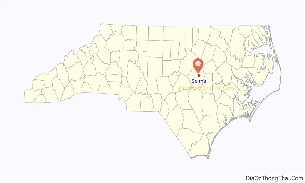
| State: | North Carolina |
| County: | Johnston County |
| Elevation: | 174 ft (53 m) |
| Total Area: | 5.40 sq mi (14.00 km²) |
| Land Area: | 5.40 sq mi (14.00 km²) |
| Water Area: | 0.00 sq mi (0.00 km²) |
| Total Population: | 6,317 |
| Population Density: | 1,168.95/sq mi (451.33/km²) |
| ZIP code: | 27576 |
| Area code: | 919 |
| FIPS code: | 3760320 |
| GNISfeature ID: | 1022539 |
| Website: | www.selma-nc.com |
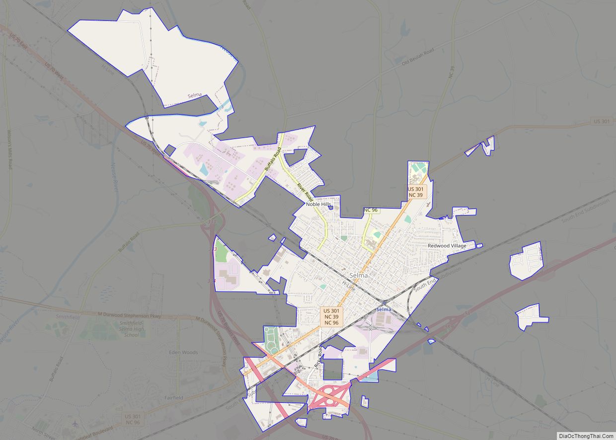
Online Interactive Map
Click on ![]() to view map in "full screen" mode.
to view map in "full screen" mode.
Selma location map. Where is Selma town?

History
On May 1, 1867, lots were sold around a newly established station on the North Carolina Railroad. From those lots, the town was built and considered a railroad town for many decades. Selma was officially chartered as a town on February 11, 1873. The town recently renovated its 1924 passenger depot, which has Amtrak service. The town is also home to the Mitchener Station, which was built in 1855 and is thought to be the oldest surviving train station in North Carolina. After Interstate 95 was built in the late 1950s, the town experienced growth due to its location next to the interstate. Today, there are many hotels and restaurants located in the area thanks to the traffic from I-95.
The Downtown Selma Historic District, Noah Edward Edgerton House, Richard B. Harrison School, Nowell-Mayerburg-Oliver House, William E. Smith House, Everitt P. Stevens House, Selma Union Depot, and West Selma Historic District are listed on the National Register of Historic Places.
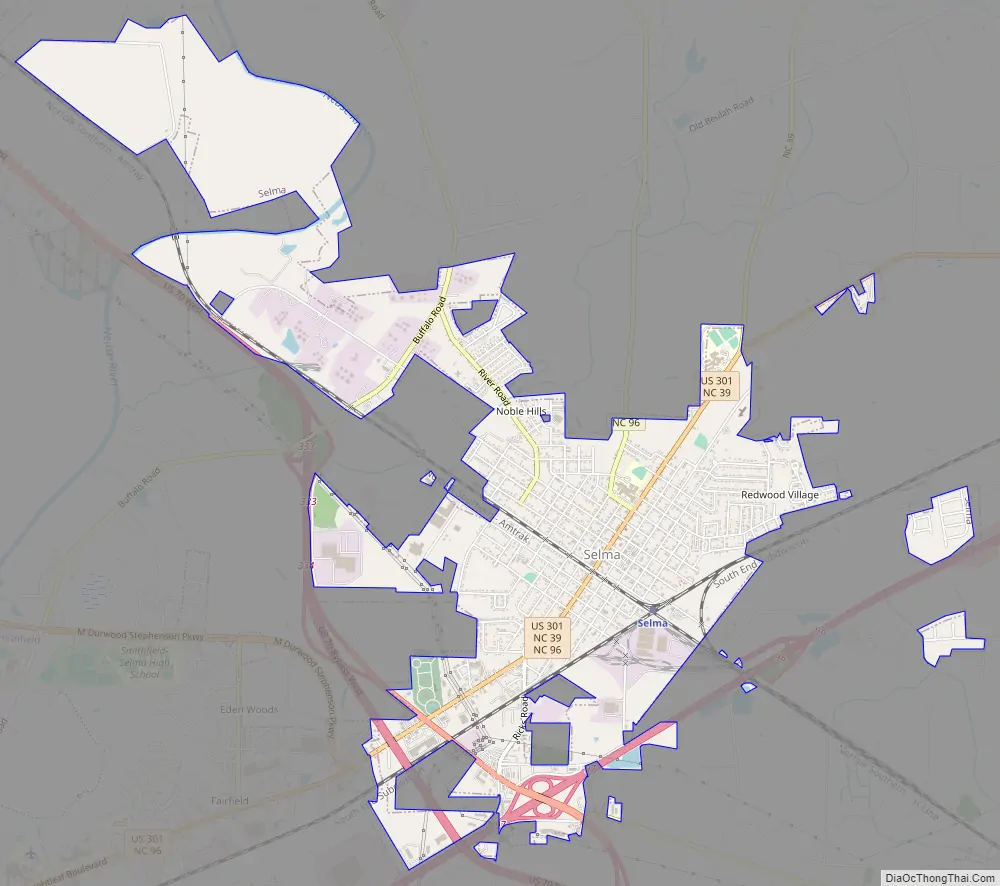
Selma Road Map
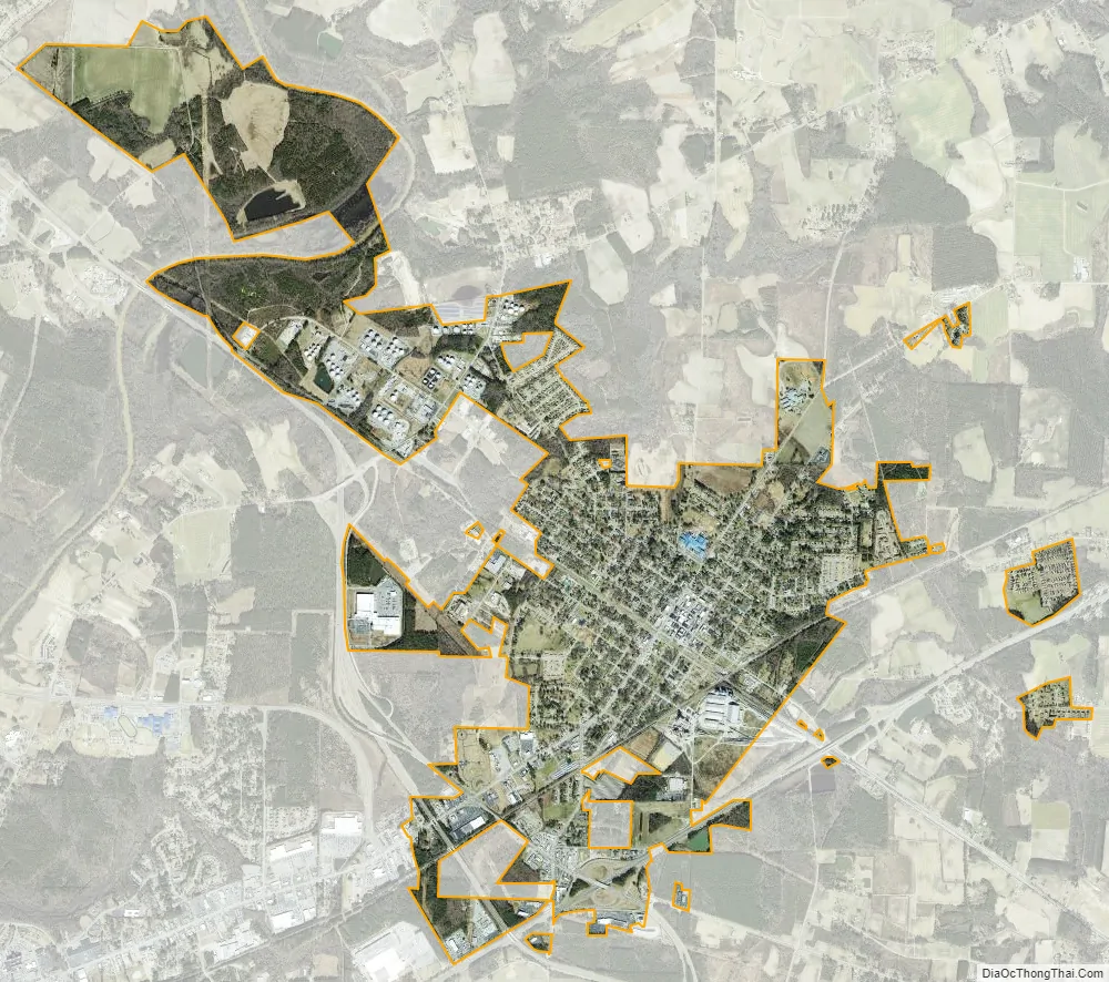
Selma city Satellite Map
Geography
Selma is located in central Johnston County at 35°32′13″N 78°17′5″W / 35.53694°N 78.28472°W / 35.53694; -78.28472 (35.536982, -78.284642). It is bordered to the southwest by Smithfield, the county seat, and to the northwest by Wilson’s Mills.
According to the United States Census Bureau, the town of Selma has a total area of 4.9 square miles (12.6 km), all land.
See also
Map of North Carolina State and its subdivision:- Alamance
- Alexander
- Alleghany
- Anson
- Ashe
- Avery
- Beaufort
- Bertie
- Bladen
- Brunswick
- Buncombe
- Burke
- Cabarrus
- Caldwell
- Camden
- Carteret
- Caswell
- Catawba
- Chatham
- Cherokee
- Chowan
- Clay
- Cleveland
- Columbus
- Craven
- Cumberland
- Currituck
- Dare
- Davidson
- Davie
- Duplin
- Durham
- Edgecombe
- Forsyth
- Franklin
- Gaston
- Gates
- Graham
- Granville
- Greene
- Guilford
- Halifax
- Harnett
- Haywood
- Henderson
- Hertford
- Hoke
- Hyde
- Iredell
- Jackson
- Johnston
- Jones
- Lee
- Lenoir
- Lincoln
- Macon
- Madison
- Martin
- McDowell
- Mecklenburg
- Mitchell
- Montgomery
- Moore
- Nash
- New Hanover
- Northampton
- Onslow
- Orange
- Pamlico
- Pasquotank
- Pender
- Perquimans
- Person
- Pitt
- Polk
- Randolph
- Richmond
- Robeson
- Rockingham
- Rowan
- Rutherford
- Sampson
- Scotland
- Stanly
- Stokes
- Surry
- Swain
- Transylvania
- Tyrrell
- Union
- Vance
- Wake
- Warren
- Washington
- Watauga
- Wayne
- Wilkes
- Wilson
- Yadkin
- Yancey
- Alabama
- Alaska
- Arizona
- Arkansas
- California
- Colorado
- Connecticut
- Delaware
- District of Columbia
- Florida
- Georgia
- Hawaii
- Idaho
- Illinois
- Indiana
- Iowa
- Kansas
- Kentucky
- Louisiana
- Maine
- Maryland
- Massachusetts
- Michigan
- Minnesota
- Mississippi
- Missouri
- Montana
- Nebraska
- Nevada
- New Hampshire
- New Jersey
- New Mexico
- New York
- North Carolina
- North Dakota
- Ohio
- Oklahoma
- Oregon
- Pennsylvania
- Rhode Island
- South Carolina
- South Dakota
- Tennessee
- Texas
- Utah
- Vermont
- Virginia
- Washington
- West Virginia
- Wisconsin
- Wyoming