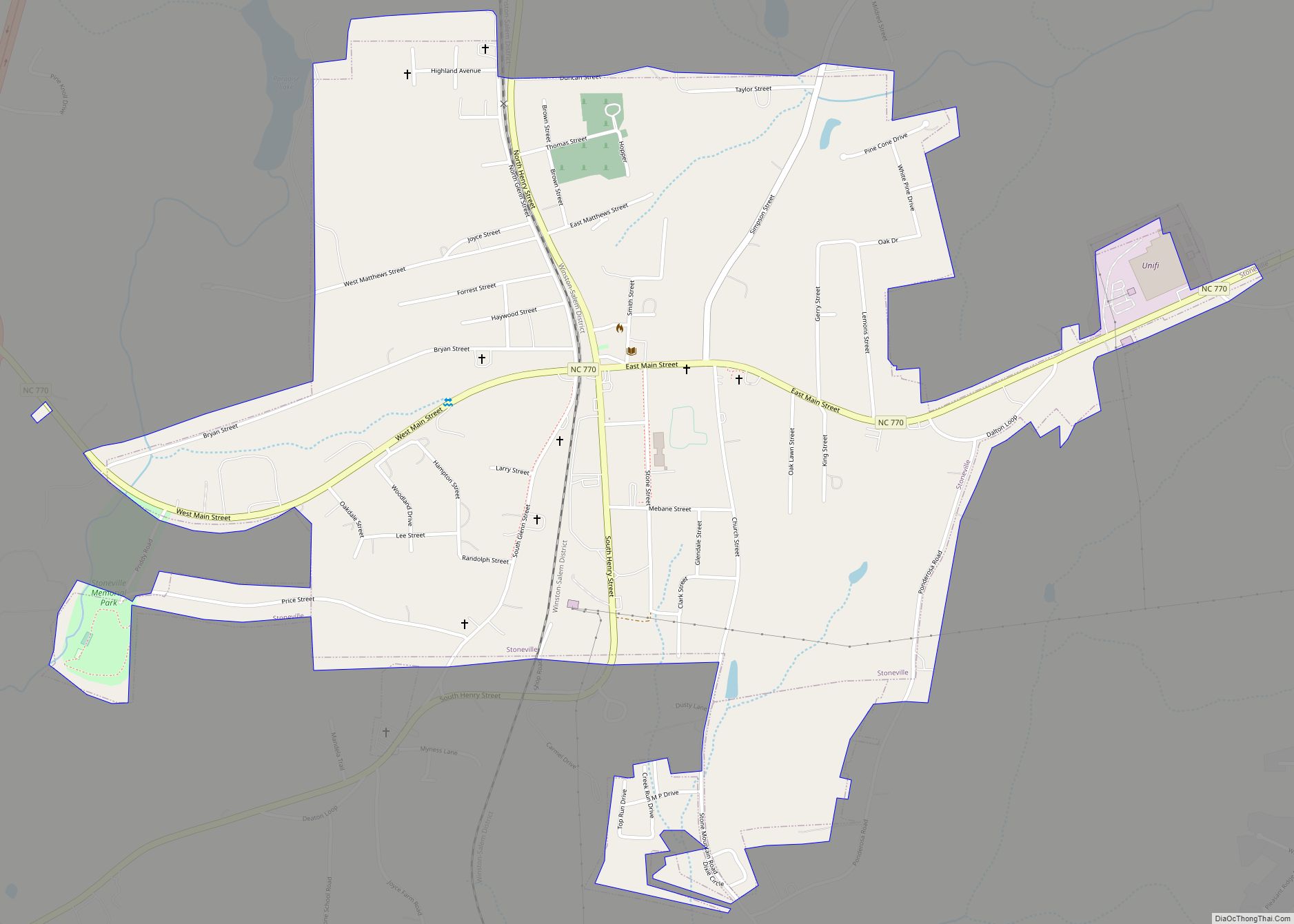
Map of Stanley town, North Carolina

Map of Stanley town, North Carolina

Stanley is a town in Gaston County, North Carolina, United States. The population was 3,556 at the 2010 census. Stanley town overview: Name: Stanley town LSAD Code: 43 LSAD Description: town (suffix) State: North Carolina County: Gaston County Elevation: 863 ft (263 m) Total Area: 2.71 sq mi (7.02 km²) Land Area: 2.70 sq mi (6.98 km²) Water Area: 0.01 sq mi (0.04 km²) Total Population: … Read more

Map of Stanfield town, North Carolina

Map of Stanfield town, North Carolina

Stanfield (English: /ˈstænfiːld/) is a town in Stanly County, North Carolina, United States. The population was 1,486 at the 2010 census. Stanfield town overview: Name: Stanfield town LSAD Code: 43 LSAD Description: town (suffix) State: North Carolina County: Stanly County Elevation: −600 ft (183 m) Total Area: 4.47 sq mi (11.58 km²) Land Area: 4.47 sq mi (11.58 km²) Water Area: 0.00 sq mi (0.00 km²) … Read more

Map of Stonewall town, North Carolina

Map of Stonewall town, North Carolina

Stonewall is a town in Pamlico County, North Carolina, United States. The population was 281 at the 2010 census. It is part of the New Bern, North Carolina Micropolitan Statistical Area. Stonewall town overview: Name: Stonewall town LSAD Code: 43 LSAD Description: town (suffix) State: North Carolina County: Pamlico County Elevation: 10 ft (3 m) Total Area: … Read more

Map of Swannanoa CDP

Map of Swannanoa CDP

Swannanoa is a census-designated place (CDP) in Buncombe County, North Carolina, United States. The population 5,021 at the 2020 census up from 4,576 at the 2010 census. The community is named for the Swannanoa River, which flows through the settlement. It is part of the Asheville Metropolitan Statistical Area. Swannanoa CDP overview: Name: Swannanoa CDP … Read more

Map of Swan Quarter CDP

Map of Swan Quarter CDP

Swan Quarter CDP overview: Name: Swan Quarter CDP LSAD Code: 57 LSAD Description: CDP (suffix) State: North Carolina County: Hyde County FIPS code: 3766340 Online Interactive Map Swan Quarter online map. Source: Basemap layers from Google Map, Open Street Map (OSM), Arcgisonline, Wmflabs. Boundary Data from Database of Global Administrative Areas. Swan Quarter location map. … Read more

Map of Surf City town

Map of Surf City town, North Carolina

Surf City is a town in Pender and Onslow counties in the U.S. state of North Carolina. The population was 1,853 at the 2010 census. It is located on Topsail Island. The Pender County portion of Surf City is part of the Wilmington Metropolitan Statistical Area, while the Onslow County portion is part of the … Read more

Map of Sunset Beach town

Map of Sunset Beach town

Sunset Beach is a seaside town in Brunswick County, North Carolina, United States. The population was 3,572 at the 2010 census, up from 1,824 in 2000. It is part of the Myrtle Beach metropolitan area. Sunset Beach town overview: Name: Sunset Beach town LSAD Code: 43 LSAD Description: town (suffix) State: North Carolina County: Brunswick … Read more

Map of Sunbury CDP

Map of Sunbury CDP, North Carolina

Sunbury is a census-designated place (CDP) and unincorporated community in Gates County, North Carolina, United States. As of the 2010 census, it had a population of 289. Sunbury is located at the junction of U.S. Route 158 and North Carolina Highway 32, 10 miles (16 km) east-northeast of Gatesville, the Gates County seat. Sunbury has a … Read more

Map of Summerfield town, North Carolina

Map of Summerfield town, North Carolina

Summerfield is a town in Guilford County, North Carolina. The population was 7,018 at the 2000 census. At the 2010 census, the population had risen to 10,232. The town is largely regarded as a suburb of Greensboro and as development has grown, the town has slowly transformed from a rural farming area into a bedroom … Read more

Map of Sugar Mountain village

Map of Sugar Mountain village

Sugar Mountain is a village in Avery County, North Carolina, United States. The village is located on Sugar Mountain’s north slope. The population was 198 at the 2010 census. Sugar Mountain village overview: Name: Sugar Mountain village LSAD Code: 47 LSAD Description: village (suffix) State: North Carolina County: Avery County Incorporated: 1989 Elevation: 4,432 ft (1,351 m) … Read more

Map of Stovall town

Map of Stovall town

Stovall is a town in Granville County, North Carolina, United States. The population was 418 as of the 2010 census. Stovall town overview: Name: Stovall town LSAD Code: 43 LSAD Description: town (suffix) State: North Carolina County: Granville County Elevation: 472 ft (144 m) Total Area: 1.05 sq mi (2.71 km²) Land Area: 1.05 sq mi (2.71 km²) Water Area: 0.00 sq mi (0.00 km²) Total … Read more

Map of Stony Point CDP, North Carolina

Map of Stony Point CDP, North Carolina

Stony Point CDP overview: Name: Stony Point CDP LSAD Code: 57 LSAD Description: CDP (suffix) State: North Carolina County: Alexander County, Iredell County FIPS code: 3765260 Online Interactive Map Stony Point online map. Source: Basemap layers from Google Map, Open Street Map (OSM), Arcgisonline, Wmflabs. Boundary Data from Database of Global Administrative Areas. Stony Point … Read more