Sunset Beach is a seaside town in Brunswick County, North Carolina, United States. The population was 3,572 at the 2010 census, up from 1,824 in 2000. It is part of the Myrtle Beach metropolitan area.
| Name: | Sunset Beach town |
|---|---|
| LSAD Code: | 43 |
| LSAD Description: | town (suffix) |
| State: | North Carolina |
| County: | Brunswick County |
| Elevation: | 10 ft (3 m) |
| Total Area: | 7.88 sq mi (20.42 km²) |
| Land Area: | 6.97 sq mi (18.05 km²) |
| Water Area: | 0.92 sq mi (2.37 km²) |
| Total Population: | 4,175 |
| Population Density: | 599.17/sq mi (231.33/km²) |
| ZIP code: | 28468 |
| FIPS code: | 3765900 |
| GNISfeature ID: | 1004755 |
| Website: | www.sunsetbeachnc.gov |
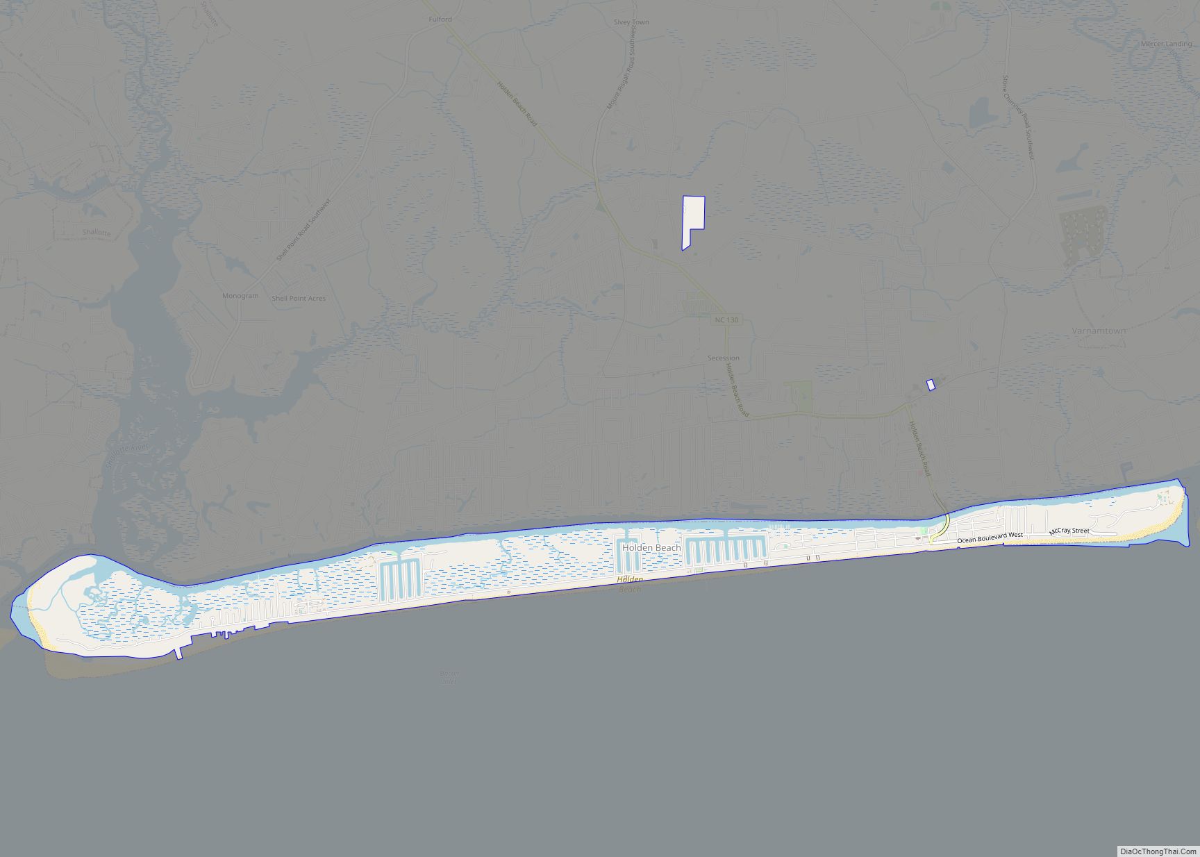
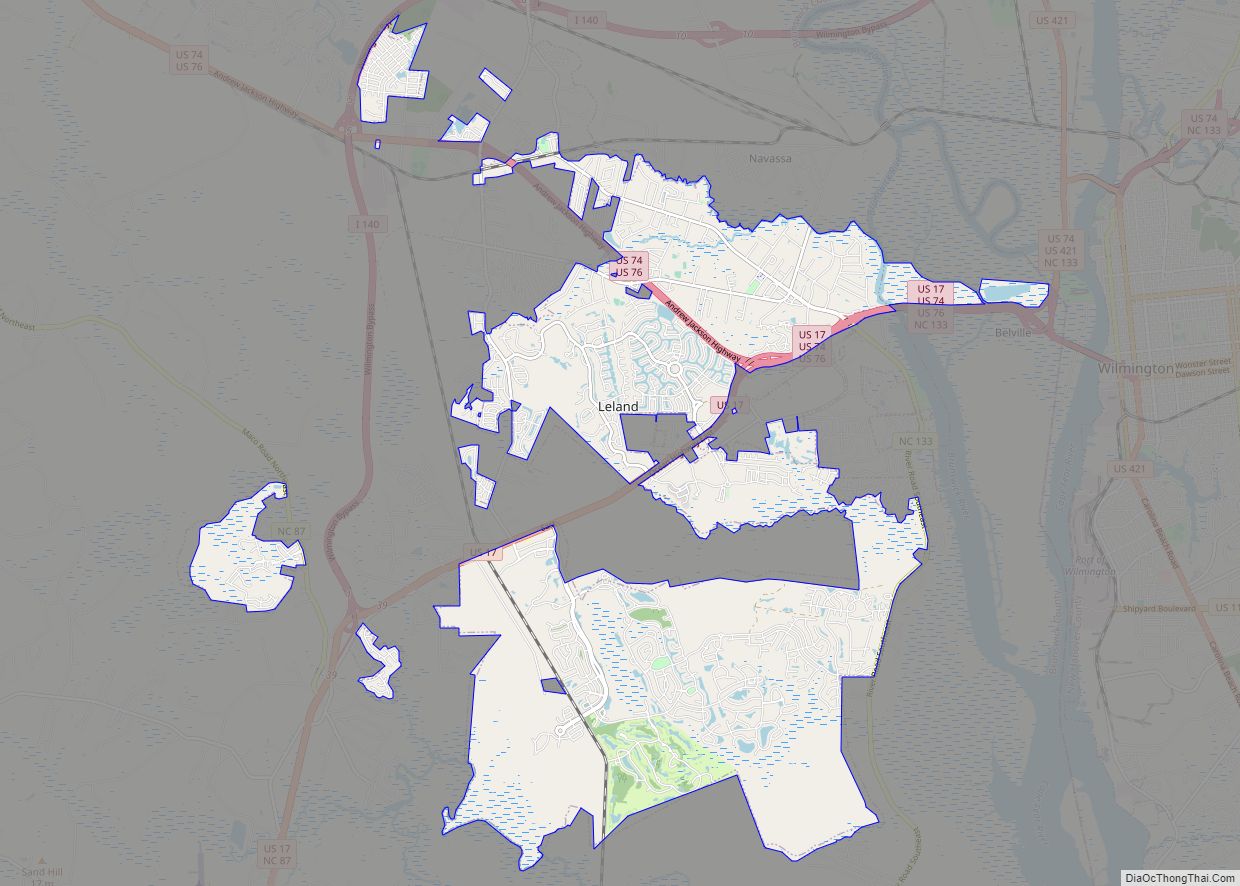
Online Interactive Map
Click on ![]() to view map in "full screen" mode.
to view map in "full screen" mode.
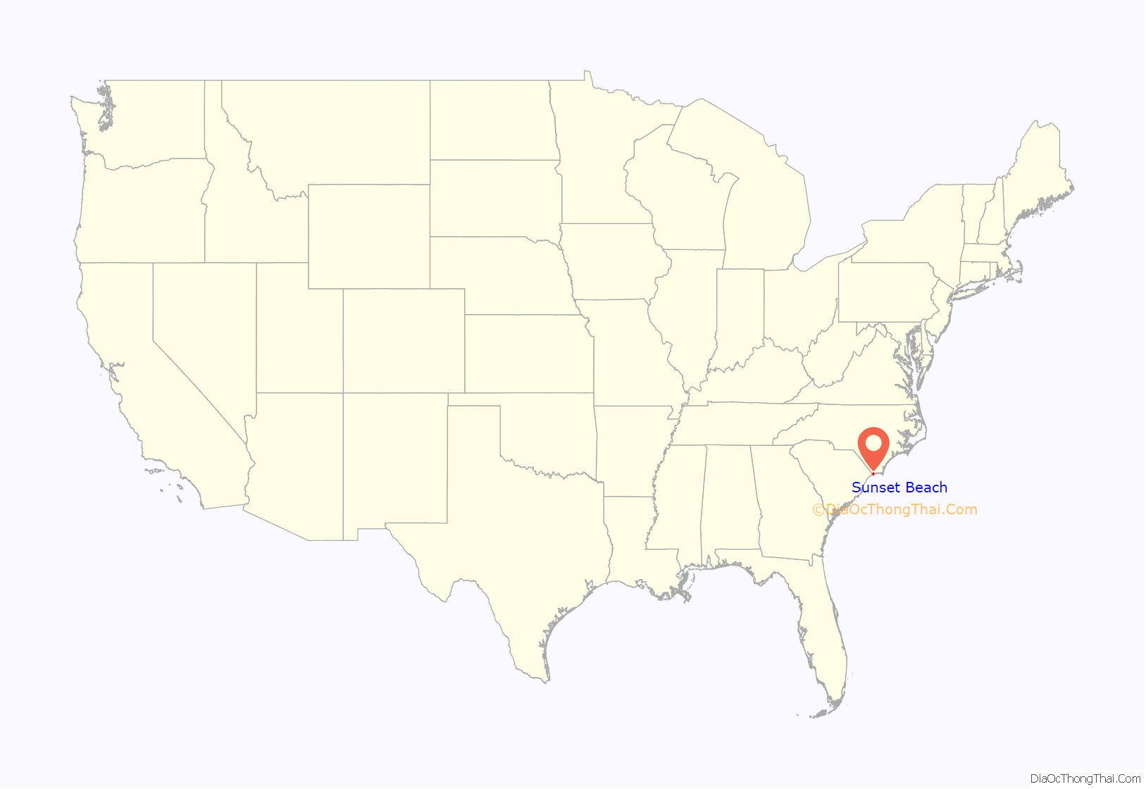
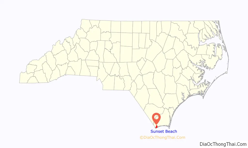
Sunset Beach location map. Where is Sunset Beach town?
History
The seaside town of Sunset Beach got its start in 1955 when the land it occupies was bought by a property developer. Development began in earnest with the completion of a bridge connecting the beach island to the mainland in 1958. Sunset Beach was incorporated as a town in 1963. On February 15, 2021, an EF3 tornado hit the north side of town around midnight, damaging multiple homes in several neighborhoods, including some that were completely destroyed. Three people were killed and 10 others were injured.
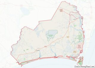
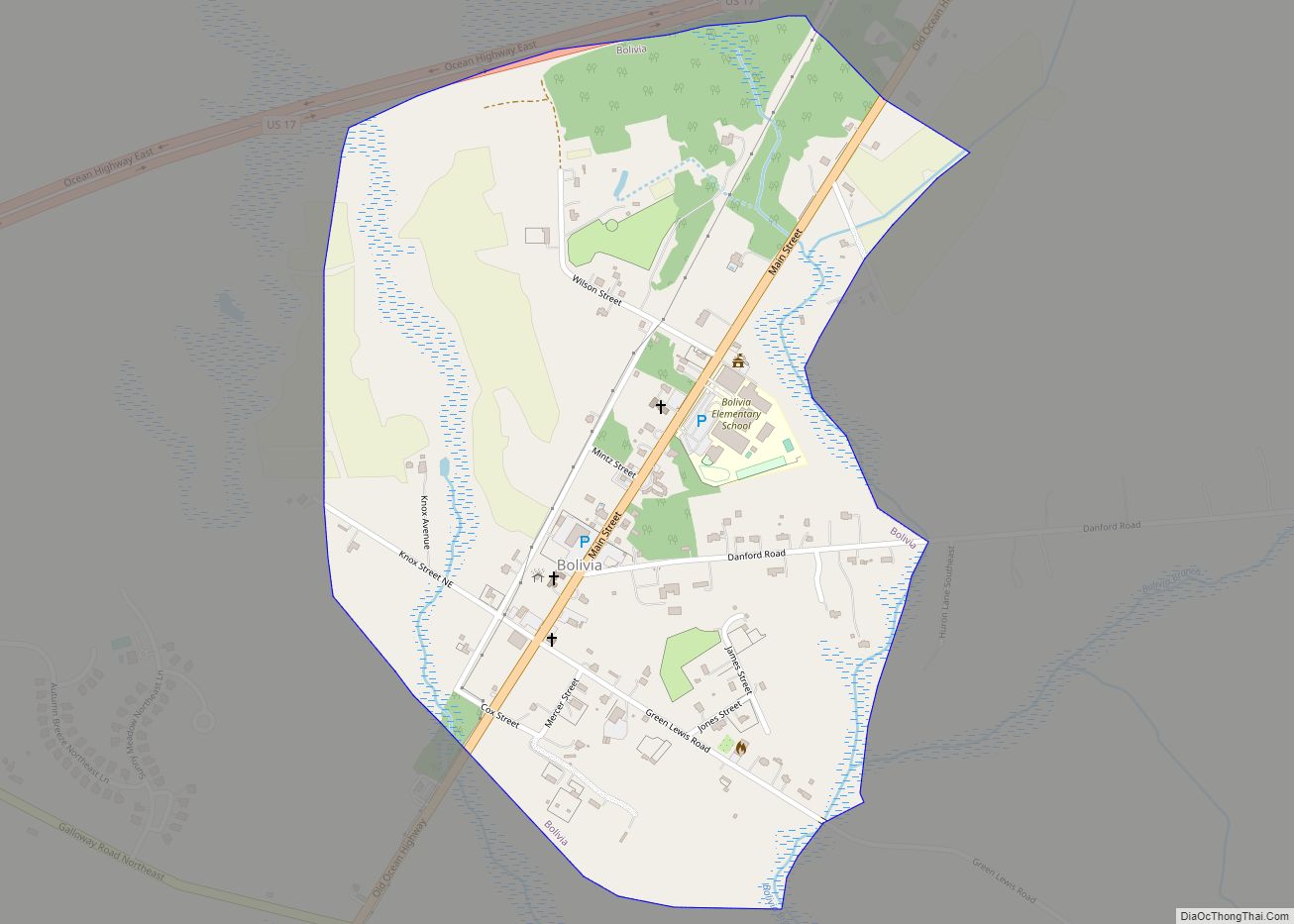
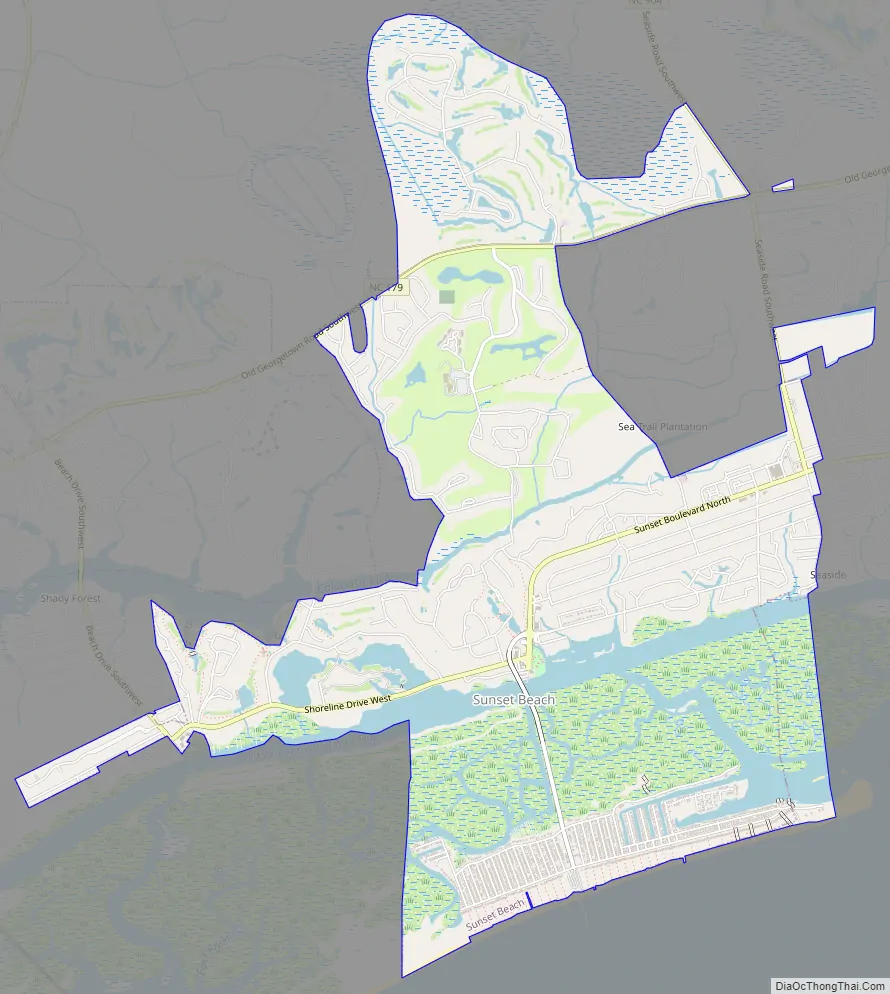
Sunset Beach Road Map
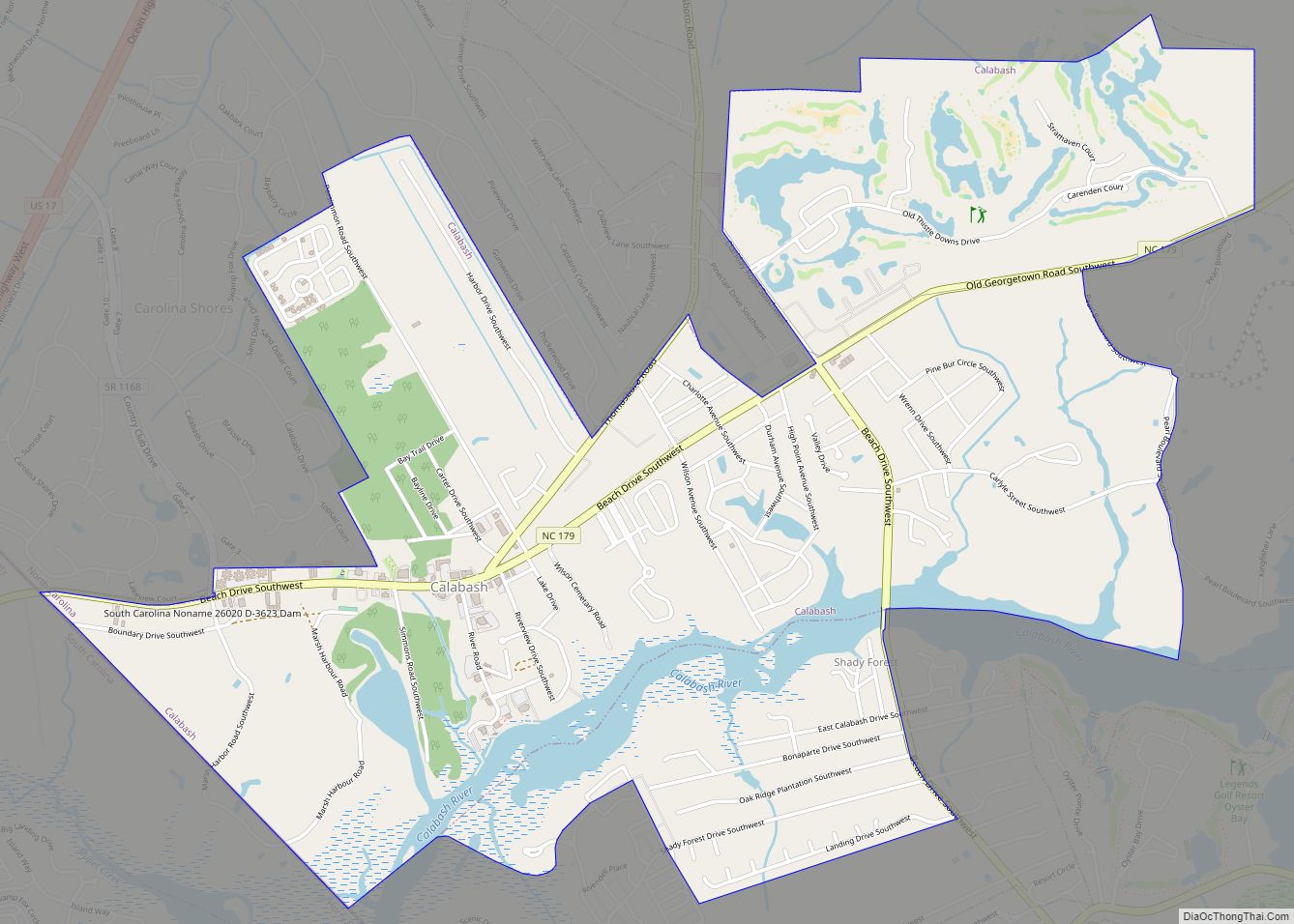
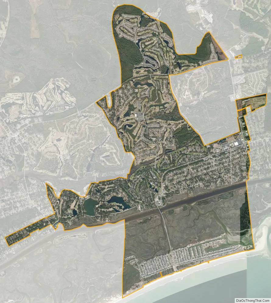
Sunset Beach city Satellite Map
Geography
Sunset Beach is located in southwestern Brunswick County at 33°53′7″N 78°30′27″W / 33.88528°N 78.50750°W / 33.88528; -78.50750 (33.885348, -78.507528). It is the last developed Atlantic Ocean beach before the South Carolina border. One-third of the town’s area occupies a barrier island between the ocean and the Intracoastal Waterway; the remainder of the town extends onto the mainland to the north. Undeveloped Bird Island is directly to the west, Calabash is the closest town to the west on the mainland, and Ocean Isle Beach is to the east.
According to the United States Census Bureau, the town of Sunset Beach has a total area of 7.3 square miles (19.0 km), of which 6.4 square miles (16.7 km) is land, and 0.89 square miles (2.3 km) (12.22%) is water.
See also
Map of North Carolina State and its subdivision:- Alamance
- Alexander
- Alleghany
- Anson
- Ashe
- Avery
- Beaufort
- Bertie
- Bladen
- Brunswick
- Buncombe
- Burke
- Cabarrus
- Caldwell
- Camden
- Carteret
- Caswell
- Catawba
- Chatham
- Cherokee
- Chowan
- Clay
- Cleveland
- Columbus
- Craven
- Cumberland
- Currituck
- Dare
- Davidson
- Davie
- Duplin
- Durham
- Edgecombe
- Forsyth
- Franklin
- Gaston
- Gates
- Graham
- Granville
- Greene
- Guilford
- Halifax
- Harnett
- Haywood
- Henderson
- Hertford
- Hoke
- Hyde
- Iredell
- Jackson
- Johnston
- Jones
- Lee
- Lenoir
- Lincoln
- Macon
- Madison
- Martin
- McDowell
- Mecklenburg
- Mitchell
- Montgomery
- Moore
- Nash
- New Hanover
- Northampton
- Onslow
- Orange
- Pamlico
- Pasquotank
- Pender
- Perquimans
- Person
- Pitt
- Polk
- Randolph
- Richmond
- Robeson
- Rockingham
- Rowan
- Rutherford
- Sampson
- Scotland
- Stanly
- Stokes
- Surry
- Swain
- Transylvania
- Tyrrell
- Union
- Vance
- Wake
- Warren
- Washington
- Watauga
- Wayne
- Wilkes
- Wilson
- Yadkin
- Yancey
- Alabama
- Alaska
- Arizona
- Arkansas
- California
- Colorado
- Connecticut
- Delaware
- District of Columbia
- Florida
- Georgia
- Hawaii
- Idaho
- Illinois
- Indiana
- Iowa
- Kansas
- Kentucky
- Louisiana
- Maine
- Maryland
- Massachusetts
- Michigan
- Minnesota
- Mississippi
- Missouri
- Montana
- Nebraska
- Nevada
- New Hampshire
- New Jersey
- New Mexico
- New York
- North Carolina
- North Dakota
- Ohio
- Oklahoma
- Oregon
- Pennsylvania
- Rhode Island
- South Carolina
- South Dakota
- Tennessee
- Texas
- Utah
- Vermont
- Virginia
- Washington
- West Virginia
- Wisconsin
- Wyoming