Swannanoa is a census-designated place (CDP) in Buncombe County, North Carolina, United States. The population 5,021 at the 2020 census up from 4,576 at the 2010 census. The community is named for the Swannanoa River, which flows through the settlement. It is part of the Asheville Metropolitan Statistical Area.
| Name: | Swannanoa CDP |
|---|---|
| LSAD Code: | 57 |
| LSAD Description: | CDP (suffix) |
| State: | North Carolina |
| County: | Buncombe County |
| Elevation: | 2,195 ft (669 m) |
| Total Area: | 6.41 sq mi (16.59 km²) |
| Land Area: | 6.38 sq mi (16.51 km²) |
| Water Area: | 0.03 sq mi (0.08 km²) |
| Total Population: | 5,021 |
| Population Density: | 787.61/sq mi (304.11/km²) |
| ZIP code: | 28778 |
| Area code: | 828 |
| FIPS code: | 3766280 |
| GNISfeature ID: | 0995757 |
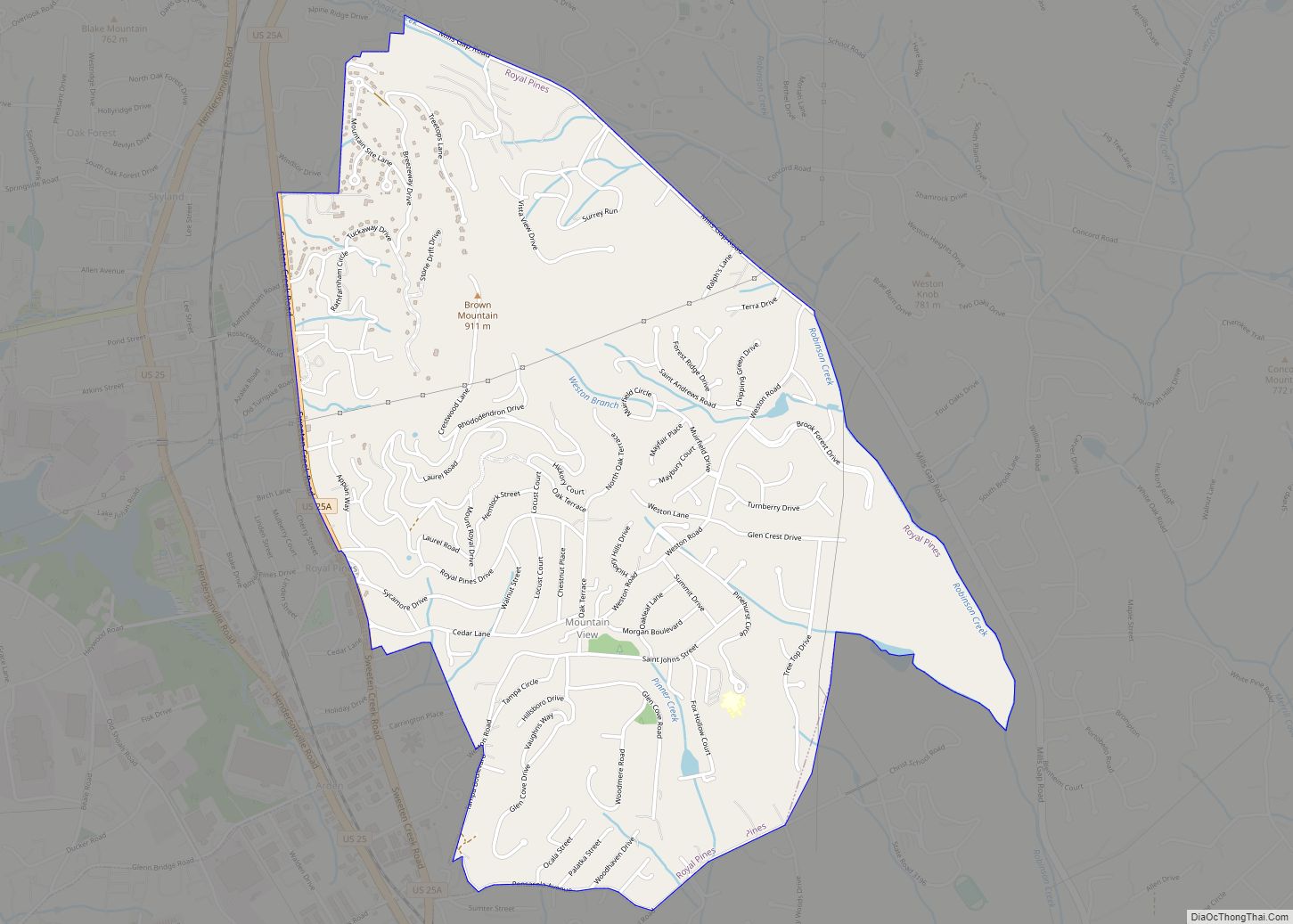
Online Interactive Map
Click on ![]() to view map in "full screen" mode.
to view map in "full screen" mode.
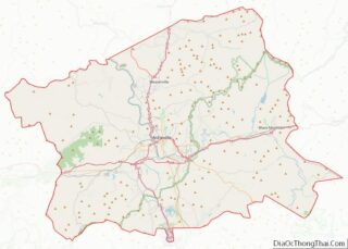
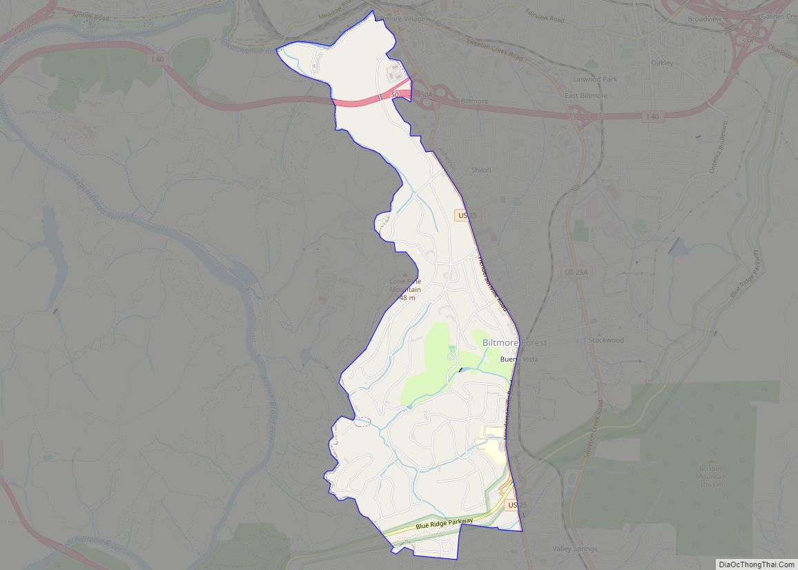
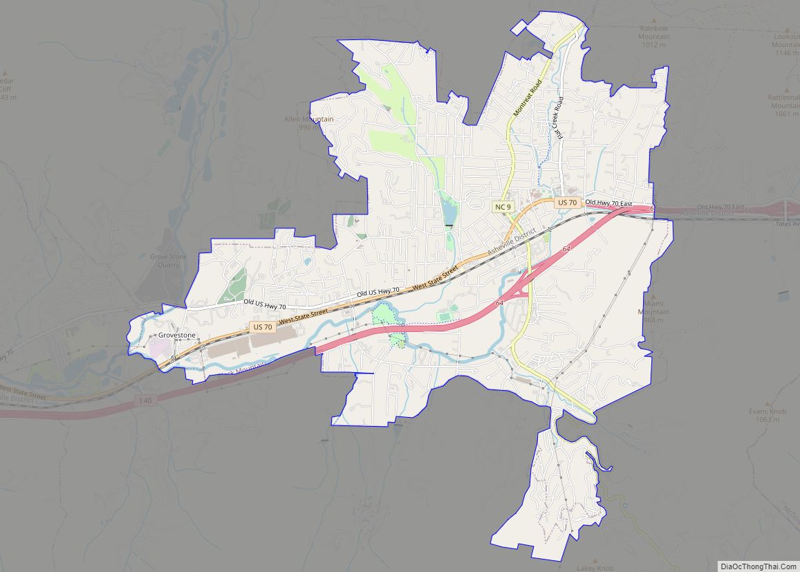
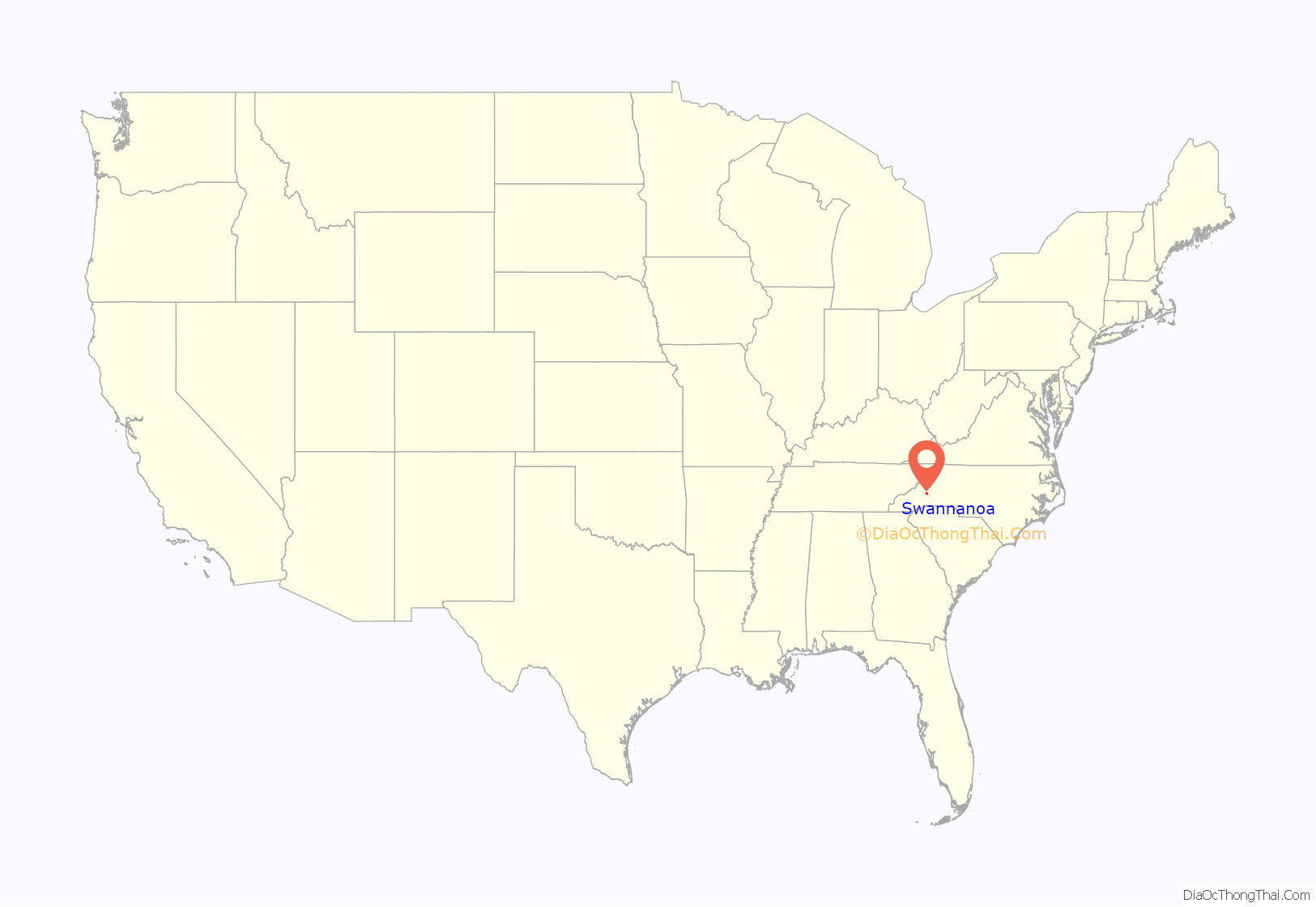
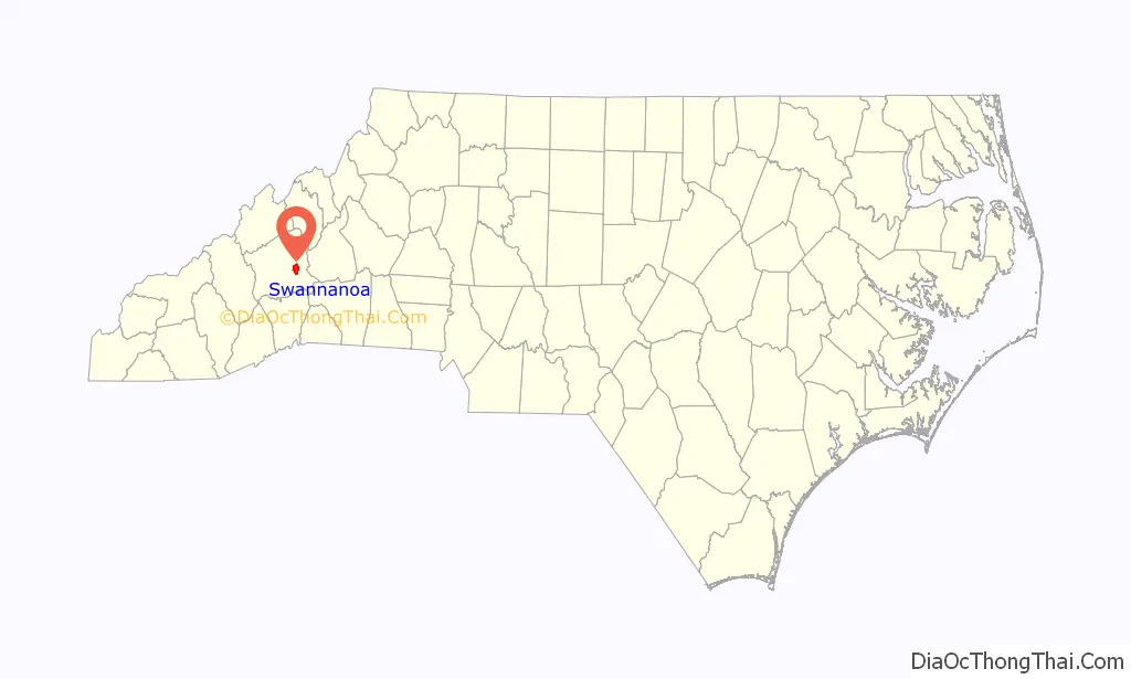
Swannanoa location map. Where is Swannanoa CDP?
History
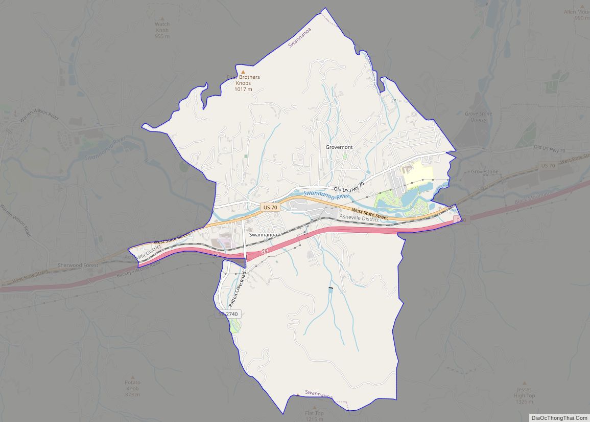
Swannanoa is located several miles west of Black Mountain just prior to Oteen and eastern Asheville. As the district continues to grow it has three fast food restaurants amongst several local based eateries. With plenty of trails and forest land it is a beautiful mountain area enriched with manufacturing history of the once great Beacon Blanket Mill. Alexander Inn was listed on the National Register of Historic Places in 1984.
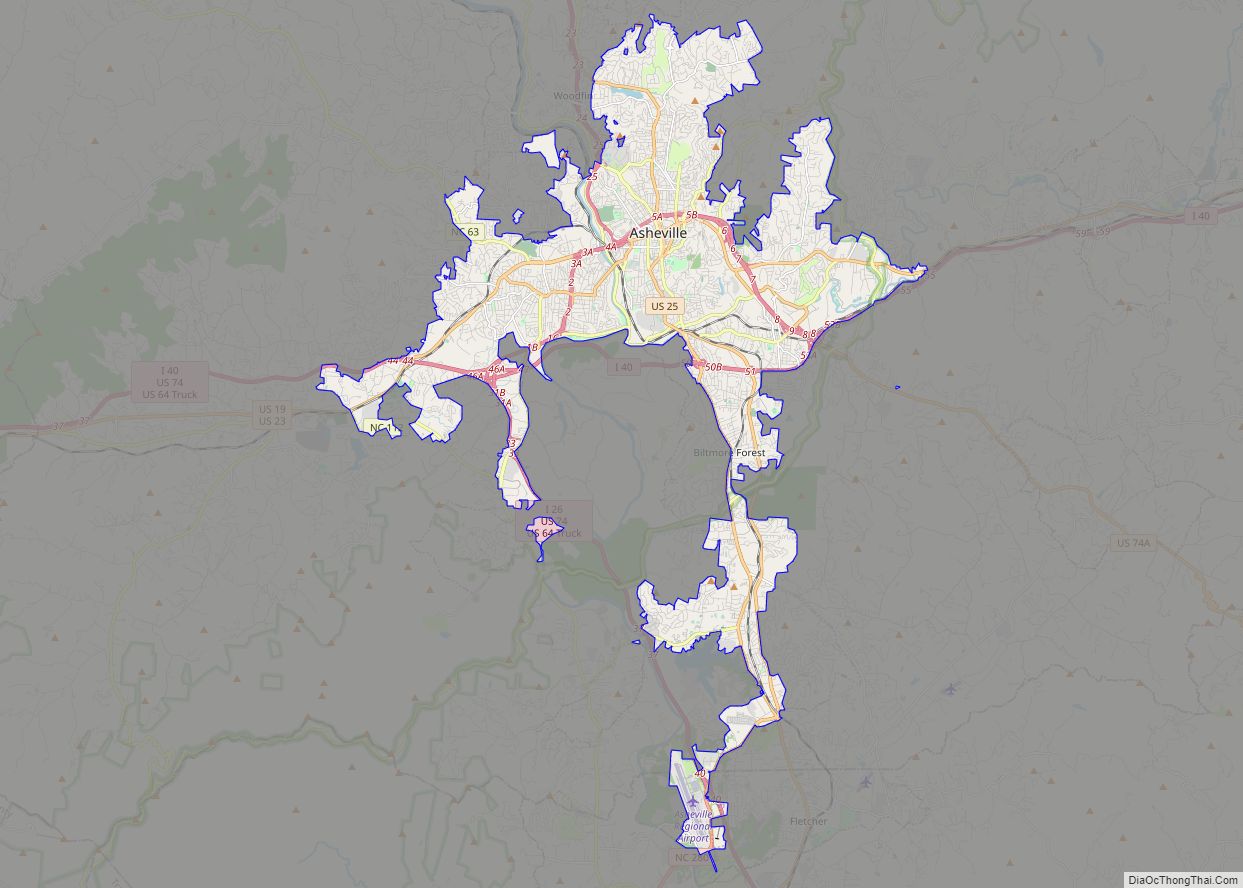
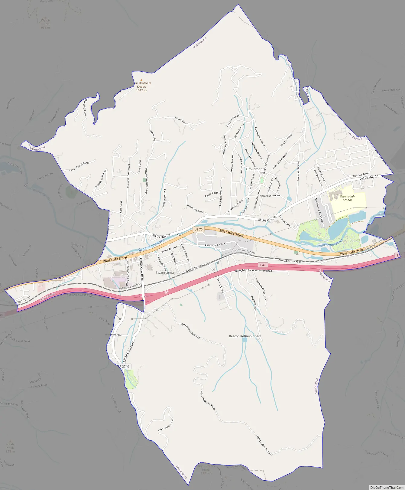
Swannanoa Road Map
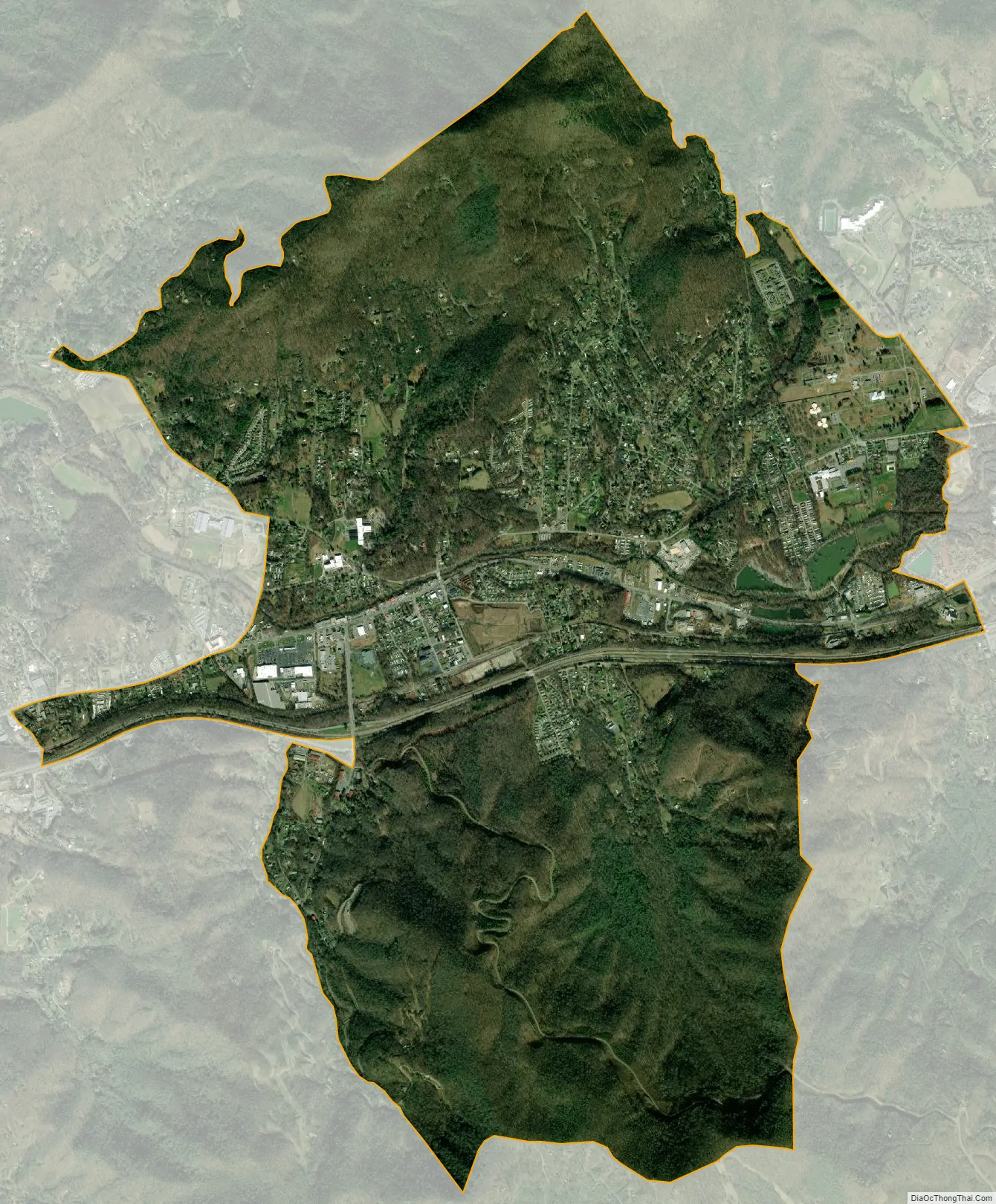
Swannanoa city Satellite Map
Geography
Swannanoa is located in eastern Buncombe County at 35°36′17″N 82°23′17″W / 35.60472°N 82.38806°W / 35.60472; -82.38806 (35.604808, -82.387921), between Asheville and Black Mountain. Interstate 40 passes through the main commercial area of Swannanoa, which is focused around the Ingles supermarket and gas station. The old commercial area sits beside an empty lot where the old Beacon Manufacturing Co. plant once sat. The Beacon Plant was the center of the Swannanoa community, built by the late Charles D. Owen, Sr. It was closed in 2002, and burned almost completely to the ground on September 3, 2003. The local high school is Charles D. Owen High School. Brad Johnson was a graduate of Charles D. Owen High School. He went on to play in the National Football League for the Super Bowl XXXVII Champion Tampa Bay Buccaneers.
According to the United States Census Bureau, the CDP has a total area of 6.4 square miles (16.7 km), of which 6.4 square miles (16.6 km) is land and 0.04 square miles (0.1 km), or 0.53%, is water.
See also
Map of North Carolina State and its subdivision:- Alamance
- Alexander
- Alleghany
- Anson
- Ashe
- Avery
- Beaufort
- Bertie
- Bladen
- Brunswick
- Buncombe
- Burke
- Cabarrus
- Caldwell
- Camden
- Carteret
- Caswell
- Catawba
- Chatham
- Cherokee
- Chowan
- Clay
- Cleveland
- Columbus
- Craven
- Cumberland
- Currituck
- Dare
- Davidson
- Davie
- Duplin
- Durham
- Edgecombe
- Forsyth
- Franklin
- Gaston
- Gates
- Graham
- Granville
- Greene
- Guilford
- Halifax
- Harnett
- Haywood
- Henderson
- Hertford
- Hoke
- Hyde
- Iredell
- Jackson
- Johnston
- Jones
- Lee
- Lenoir
- Lincoln
- Macon
- Madison
- Martin
- McDowell
- Mecklenburg
- Mitchell
- Montgomery
- Moore
- Nash
- New Hanover
- Northampton
- Onslow
- Orange
- Pamlico
- Pasquotank
- Pender
- Perquimans
- Person
- Pitt
- Polk
- Randolph
- Richmond
- Robeson
- Rockingham
- Rowan
- Rutherford
- Sampson
- Scotland
- Stanly
- Stokes
- Surry
- Swain
- Transylvania
- Tyrrell
- Union
- Vance
- Wake
- Warren
- Washington
- Watauga
- Wayne
- Wilkes
- Wilson
- Yadkin
- Yancey
- Alabama
- Alaska
- Arizona
- Arkansas
- California
- Colorado
- Connecticut
- Delaware
- District of Columbia
- Florida
- Georgia
- Hawaii
- Idaho
- Illinois
- Indiana
- Iowa
- Kansas
- Kentucky
- Louisiana
- Maine
- Maryland
- Massachusetts
- Michigan
- Minnesota
- Mississippi
- Missouri
- Montana
- Nebraska
- Nevada
- New Hampshire
- New Jersey
- New Mexico
- New York
- North Carolina
- North Dakota
- Ohio
- Oklahoma
- Oregon
- Pennsylvania
- Rhode Island
- South Carolina
- South Dakota
- Tennessee
- Texas
- Utah
- Vermont
- Virginia
- Washington
- West Virginia
- Wisconsin
- Wyoming