Map of Trenton town, North Carolina
Trenton is a town in Jones County, North Carolina, United States. The population was 287 in 2010. It is the county seat of Jones County. Trenton is part of the New Bern, North Carolina Micropolitan Statistical Area. Trenton town overview: Name: Trenton town LSAD Code: 43 LSAD Description: town (suffix) State: North Carolina County: Jones ... Read more
Map of Trenton town, North Carolina
Map of Trent Woods town
Trent Woods is a town in Craven County, North Carolina, United States. The population was 4,155 in 2010. It is part of the New Bern, North Carolina Metropolitan Statistical Area. Trent Woods town overview: Name: Trent Woods town LSAD Code: 43 LSAD Description: town (suffix) State: North Carolina County: Craven County Elevation: 13 ft (4 m) Total ... Read more
Map of Trent Woods town
Map of Topsail Beach town
Topsail Beach is a town in Pender County, North Carolina, United States. The population was 383 at the 2012 census. It is part of the Wilmington Metropolitan Statistical Area. Topsail Beach town overview: Name: Topsail Beach town LSAD Code: 43 LSAD Description: town (suffix) State: North Carolina County: Pender County Elevation: 7 ft (2 m) Total Area: ... Read more
Map of Topsail Beach town
Map of Tobaccoville village
Tobaccoville is a village in Forsyth and Stokes counties in the U.S. state of North Carolina. The population was 2,209 at the 2020 census. While a Tobaccoville post office was established in 1887, the village was not incorporated until 1991, as a defense against forced annexation of the area by the nearby city of King. ... Read more
Map of Tobaccoville village
Map of Toast CDP
Toast is a census-designated place (CDP) in Surry County, North Carolina, United States, just west of Mount Airy. The population was 1,922 at the 2000 census. A post office called Toast has been in operation since 1929. The name “Toast” was supplied by the Post Office Department. E. P. McLeod, the school principal, supposedly came ... Read more
Map of Toast CDP
Map of Turkey town, North Carolina
Turkey is a town in Sampson County, North Carolina, United States. The population was 292 at the 2010 census. Turkey town overview: Name: Turkey town LSAD Code: 43 LSAD Description: town (suffix) State: North Carolina County: Sampson County Elevation: 144 ft (44 m) Total Area: 0.40 sq mi (1.03 km²) Land Area: 0.40 sq mi (1.03 km²) Water Area: 0.00 sq mi (0.00 km²) Total Population: ... Read more
Map of Turkey town, North Carolina
Map of Tryon town, North Carolina
Tryon is a town in Polk County, on the southwestern border of North Carolina, United States. As of the 2020 census, the city population was 1,562. Located in the escarpment of the Blue Ridge Mountains, today the area is affluent and a center for outdoor pursuits, equestrian activity, and fine arts. Tryon Peak and the ... Read more
Map of Tryon town, North Carolina
Map of Troy town, North Carolina
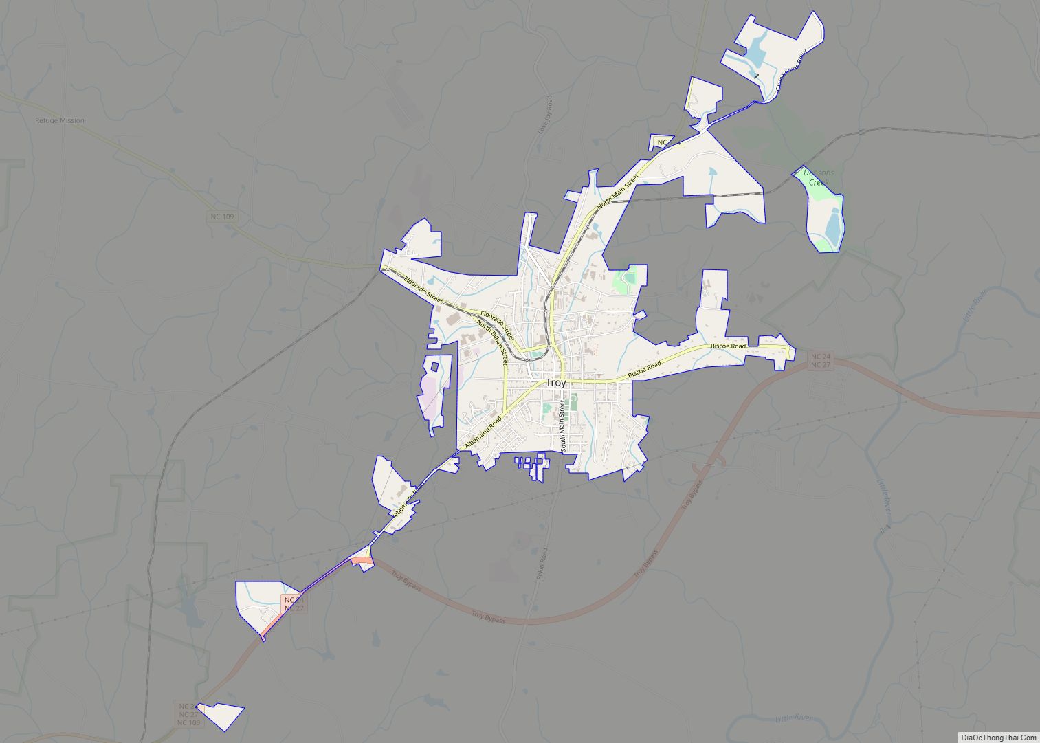
Troy is a town in Montgomery County, North Carolina, United States. The population was 3,188 at the 2010 census. It is the county seat of Montgomery County. A short story by Charles W. Chesnutt, The Sheriff’s Children, is set in Troy. Troy town overview: Name: Troy town LSAD Code: 43 LSAD Description: town (suffix) State: ... Read more
Map of Troy town, North Carolina
Map of Varnamtown town
Varnamtown is a town in Brunswick County, North Carolina, United States situated on the banks of the Lockwood Folly River. The population was 541 at the 2010 census. It is part of the Myrtle Beach metropolitan area. Varnamtown town overview: Name: Varnamtown town LSAD Code: 43 LSAD Description: town (suffix) State: North Carolina County: Brunswick ... Read more
Map of Varnamtown town
Map of Vann Crossroads CDP
Vann Crossroads is a census-designated place (CDP) in Sampson County, North Carolina, United States. The population was 324 at the 2000 census. Vann Crossroads CDP overview: Name: Vann Crossroads CDP LSAD Code: 57 LSAD Description: CDP (suffix) State: North Carolina County: Sampson County Elevation: 187 ft (57 m) Total Area: 4.57 sq mi (11.83 km²) Land Area: 4.56 sq mi (11.81 km²) Water ... Read more
Map of Vann Crossroads CDP
Map of Vander CDP
Vander is an unincorporated community and census-designated place (CDP) in Cumberland County, North Carolina, United States. The population was 1,388 at the 2020 census. Vander CDP overview: Name: Vander CDP LSAD Code: 57 LSAD Description: CDP (suffix) State: North Carolina County: Cumberland County Elevation: 125 ft (38 m) Total Area: 3.72 sq mi (9.63 km²) Land Area: 3.71 sq mi (9.61 km²) Water ... Read more
Map of Vander CDP
Map of Vandemere town
Vandemere is a town in Pamlico County, North Carolina, United States. As of the 2010 census, the town population was 254. It is part of the New Bern, North Carolina Micropolitan Statistical Area. Vandemere town overview: Name: Vandemere town LSAD Code: 43 LSAD Description: town (suffix) State: North Carolina County: Pamlico County Elevation: 3 ft (1 m) ... Read more
Map of Vandemere town