Trinity is a city in Randolph County, North Carolina, United States. The population was 7,006 at the 2020 census. Trinity is part of the Greensboro-High Point Metropolitan Statistical Area of the Piedmont Triad metro region.
| Name: | Trinity city |
|---|---|
| LSAD Code: | 25 |
| LSAD Description: | city (suffix) |
| State: | North Carolina |
| County: | Randolph County |
| Elevation: | 804 ft (245 m) |
| Total Area: | 17.05 sq mi (44.17 km²) |
| Land Area: | 16.89 sq mi (43.73 km²) |
| Water Area: | 0.17 sq mi (0.44 km²) |
| Total Population: | 7,006 |
| Population Density: | 414.92/sq mi (160.20/km²) |
| ZIP code: | 27370 |
| Area code: | 336 |
| FIPS code: | 3768400 |
| GNISfeature ID: | 0996229 |
| Website: | www.trinity-nc.gov |
Online Interactive Map
Click on ![]() to view map in "full screen" mode.
to view map in "full screen" mode.
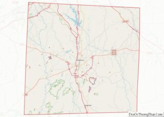
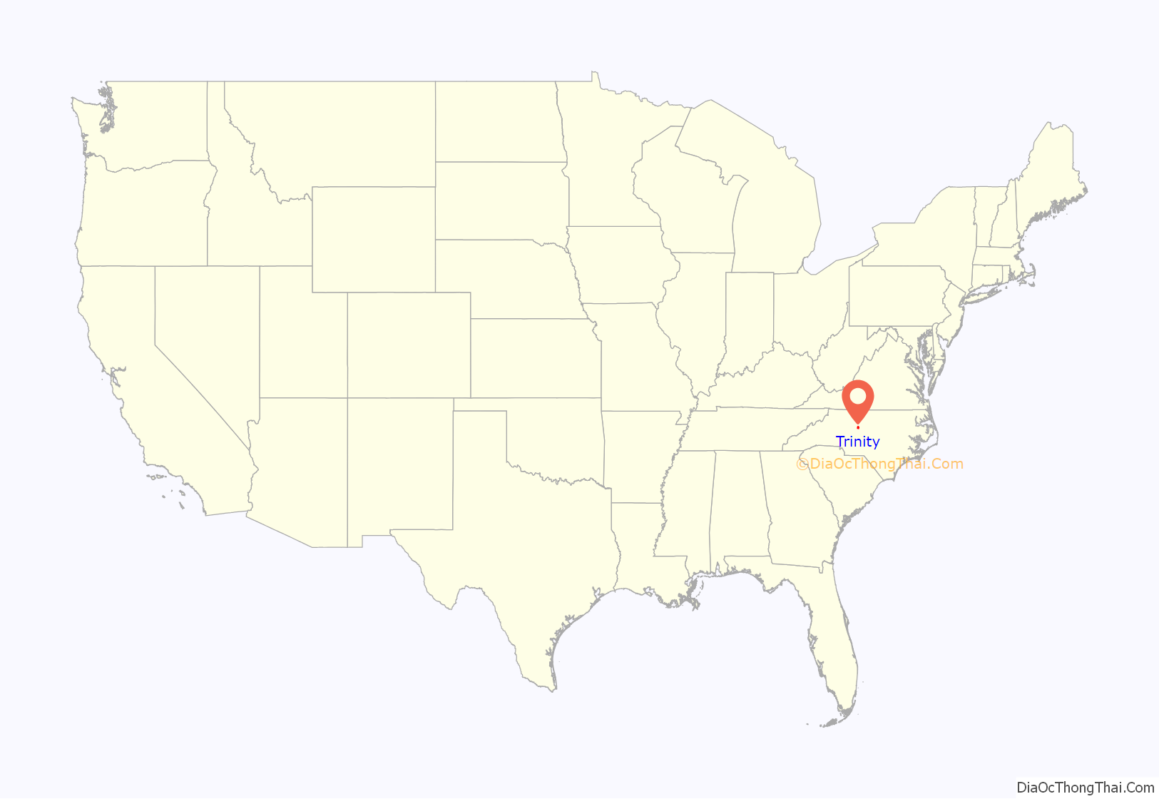
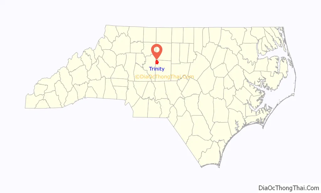
Trinity location map. Where is Trinity city?
History
The community was named after Trinity College, which later became Duke University. Trinity College started as Brown’s Schoolhouse, a private subscription school founded in 1838. The school was organized by a group of Methodists and Quakers, and was officially started by Hezekiah Leigh, who was also a founder of Randolph-Macon College. In 1841 North Carolina issued a charter for Union Institute Academy. The school took the name Trinity College in 1859, and in 1892, the college moved to Durham.
Sealy Corporation, the world’s largest manufacturer of bedding products with sales of $1.2 billion in 2003, is headquartered in Trinity.
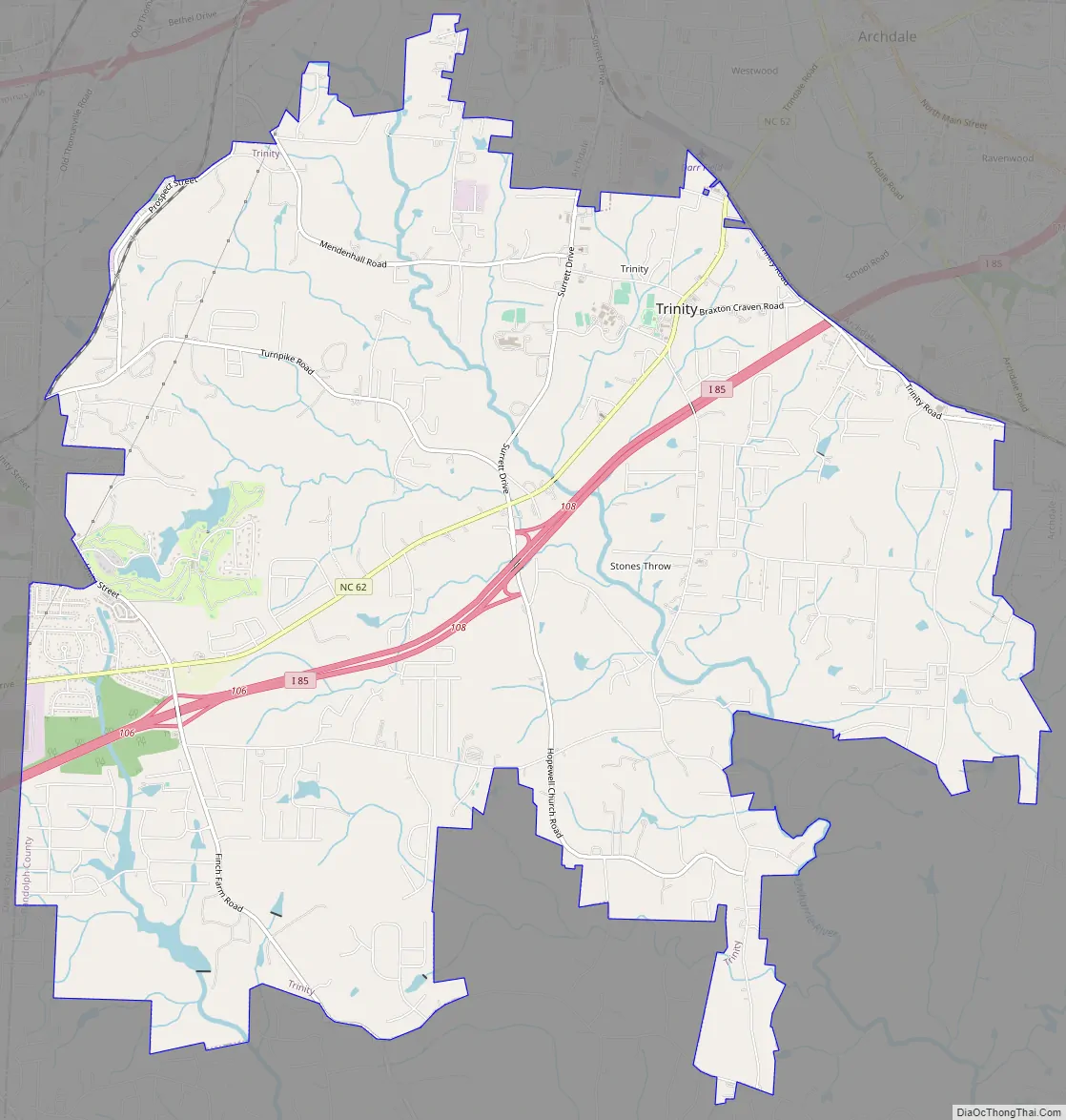
Trinity Road Map
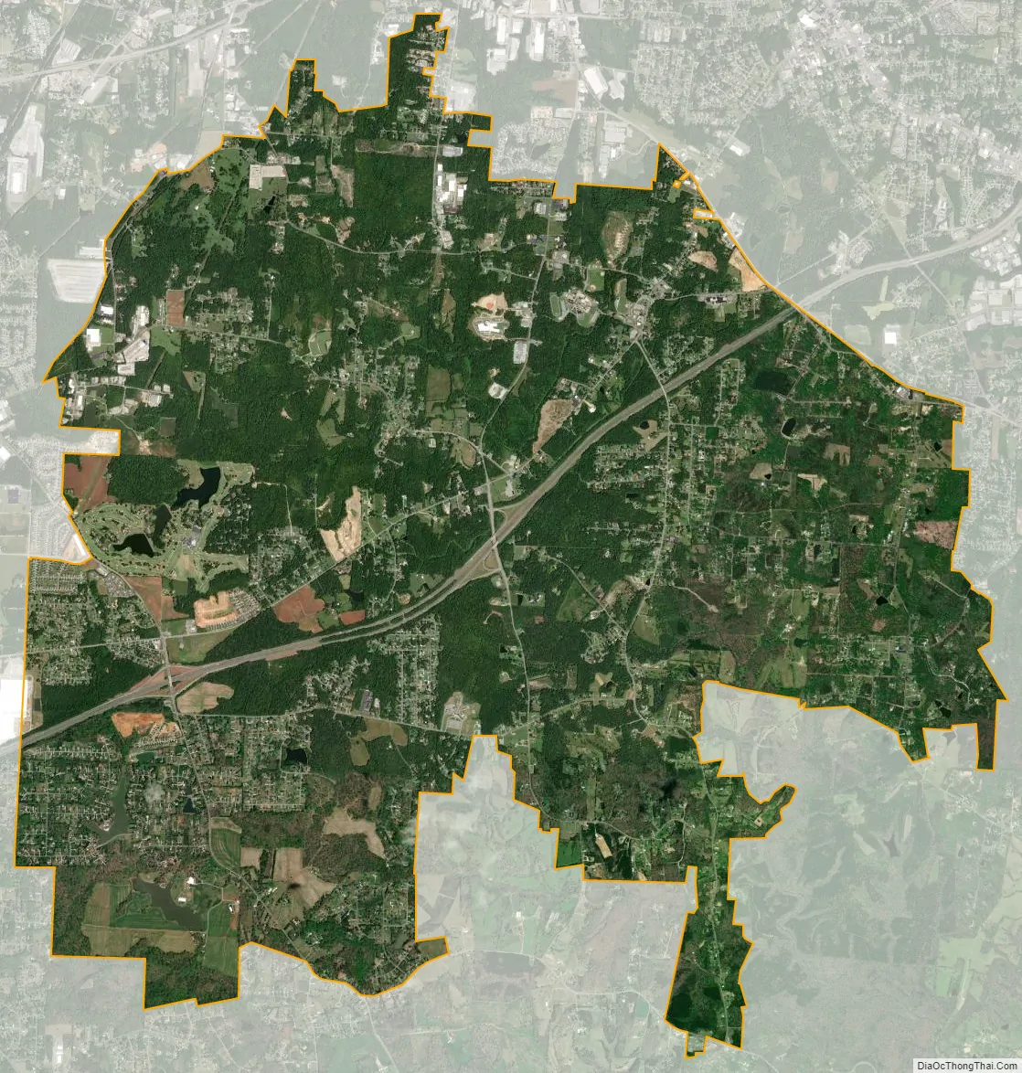
Trinity city Satellite Map
Geography
Trinity is located at 35°52′25″N 80°0′37″W / 35.87361°N 80.01028°W / 35.87361; -80.01028 (35.873522, -80.010158).
According to the 2020 United States Census the city has a land area of 16.88 square miles (43.7 km) and a population density of 415.1 residents per square mile.
See also
Map of North Carolina State and its subdivision:- Alamance
- Alexander
- Alleghany
- Anson
- Ashe
- Avery
- Beaufort
- Bertie
- Bladen
- Brunswick
- Buncombe
- Burke
- Cabarrus
- Caldwell
- Camden
- Carteret
- Caswell
- Catawba
- Chatham
- Cherokee
- Chowan
- Clay
- Cleveland
- Columbus
- Craven
- Cumberland
- Currituck
- Dare
- Davidson
- Davie
- Duplin
- Durham
- Edgecombe
- Forsyth
- Franklin
- Gaston
- Gates
- Graham
- Granville
- Greene
- Guilford
- Halifax
- Harnett
- Haywood
- Henderson
- Hertford
- Hoke
- Hyde
- Iredell
- Jackson
- Johnston
- Jones
- Lee
- Lenoir
- Lincoln
- Macon
- Madison
- Martin
- McDowell
- Mecklenburg
- Mitchell
- Montgomery
- Moore
- Nash
- New Hanover
- Northampton
- Onslow
- Orange
- Pamlico
- Pasquotank
- Pender
- Perquimans
- Person
- Pitt
- Polk
- Randolph
- Richmond
- Robeson
- Rockingham
- Rowan
- Rutherford
- Sampson
- Scotland
- Stanly
- Stokes
- Surry
- Swain
- Transylvania
- Tyrrell
- Union
- Vance
- Wake
- Warren
- Washington
- Watauga
- Wayne
- Wilkes
- Wilson
- Yadkin
- Yancey
- Alabama
- Alaska
- Arizona
- Arkansas
- California
- Colorado
- Connecticut
- Delaware
- District of Columbia
- Florida
- Georgia
- Hawaii
- Idaho
- Illinois
- Indiana
- Iowa
- Kansas
- Kentucky
- Louisiana
- Maine
- Maryland
- Massachusetts
- Michigan
- Minnesota
- Mississippi
- Missouri
- Montana
- Nebraska
- Nevada
- New Hampshire
- New Jersey
- New Mexico
- New York
- North Carolina
- North Dakota
- Ohio
- Oklahoma
- Oregon
- Pennsylvania
- Rhode Island
- South Carolina
- South Dakota
- Tennessee
- Texas
- Utah
- Vermont
- Virginia
- Washington
- West Virginia
- Wisconsin
- Wyoming