Marion is a city in LaMoure County, North Dakota, United States. The population was 125 at the 2020 census. Marion city overview: Name: Marion city LSAD Code: 25 LSAD Description: city (suffix) State: North Dakota County: LaMoure County Founded: 1900 Elevation: 1,463 ft (446 m) Total Area: 1.00 sq mi (2.60 km²) Land Area: 0.84 sq mi (2.17 km²) Water Area: 0.17 sq mi (0.43 km²) ... Read more
North Dakota Cities and Places
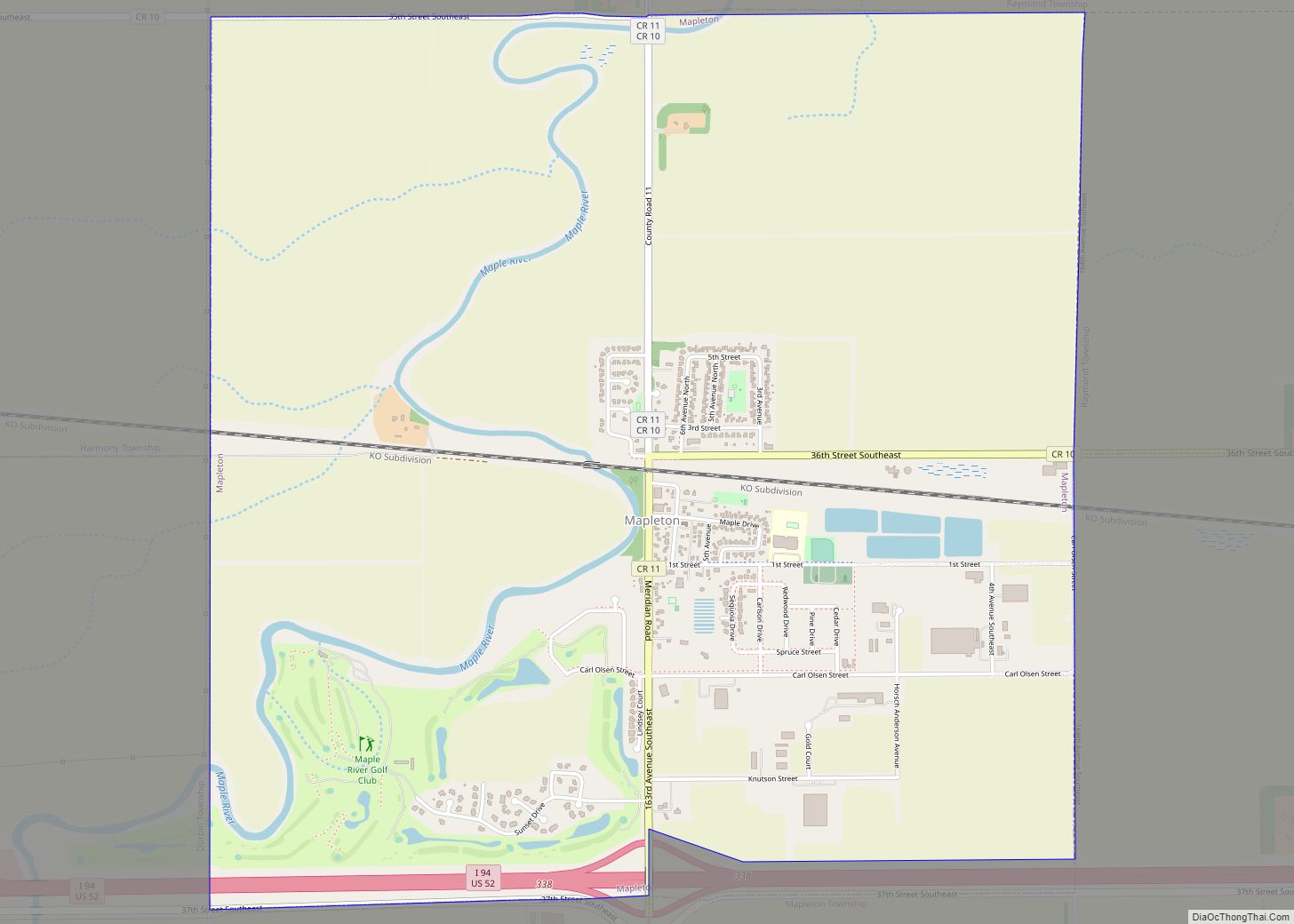
Mapleton is a city in Cass County, North Dakota, United States. It sits on the banks of the Maple River. The population was 1,320 at the 2020 census. Mapleton serves as a bedroom community of the Fargo-Moorhead metropolitan area. The core cities are ten miles to the east of Mapleton. Mapleton city overview: Name: Mapleton ... Read more
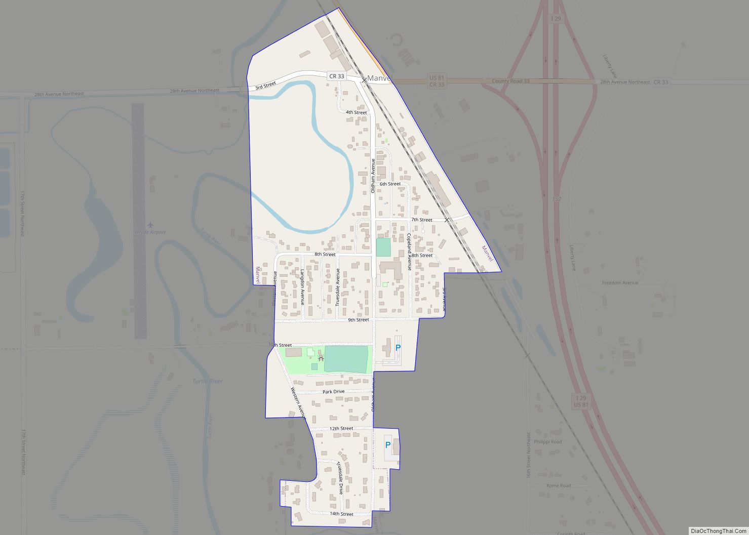
Manvel is a city in Grand Forks County, North Dakota, United States. It sits on the banks of the Turtle River. It is part of the “Grand Forks, ND–MN Metropolitan Statistical Area” or “Greater Grand Forks”. The population was 377 at the 2020 census. Manvel was founded in 1881. Manvel city overview: Name: Manvel city ... Read more
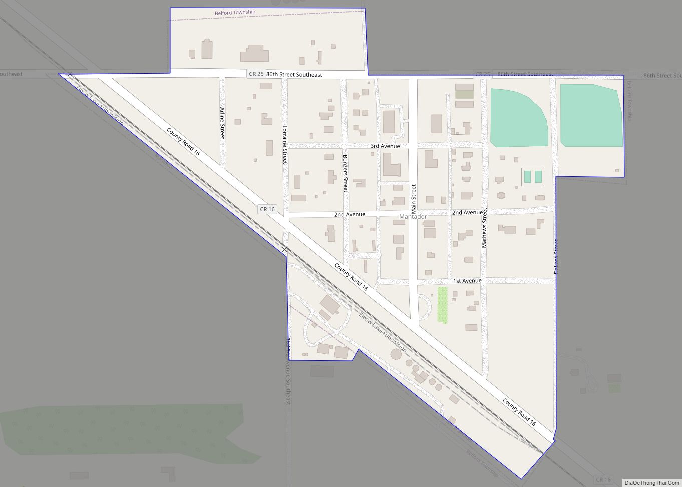
Mantador is a city in Richland County, North Dakota, United States. The population was 67 at the 2020 census. Mantador was founded in 1893. It is part of the Wahpeton, ND-MN Micropolitan Statistical Area. Mantador city overview: Name: Mantador city LSAD Code: 25 LSAD Description: city (suffix) State: North Dakota County: Richland County Founded: 1893 ... Read more
McClusky is a city in Sheridan County, North Dakota, United States. It is the county seat of Sheridan County. The population was 322 at the 2020 census. McClusky was founded in 1905. It is the closest town to the geographical center of North Dakota, which lies approximately five miles to the southwest. McClusky city overview: ... Read more
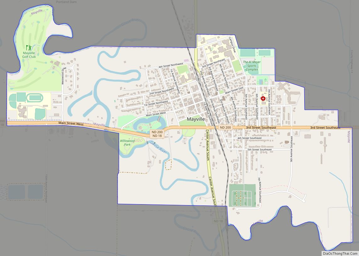
Mayville is a city in Traill County, North Dakota, United States. The population was 1,854 at the 2020 census. which makes Mayville the largest community in Traill County. Mayville was founded in 1881. The city’s name remembers May Arnold, the first white child born in the immediate area. Mayville is often grouped with the neighboring ... Read more
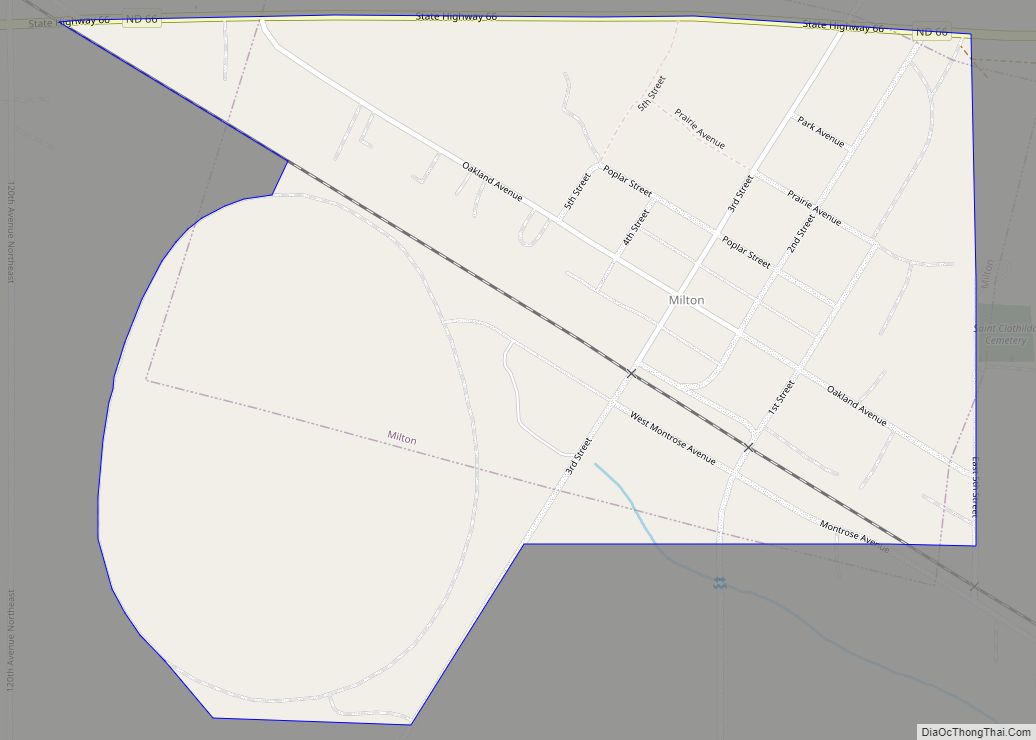
Milton is a city in Cavalier County, North Dakota, United States. The population was 39 at the 2020 census. Milton was founded in 1887. Milton city overview: Name: Milton city LSAD Code: 25 LSAD Description: city (suffix) State: North Dakota County: Cavalier County Founded: 1887 Elevation: 1,588 ft (484 m) Total Area: 0.47 sq mi (1.22 km²) Land Area: 0.47 sq mi ... Read more
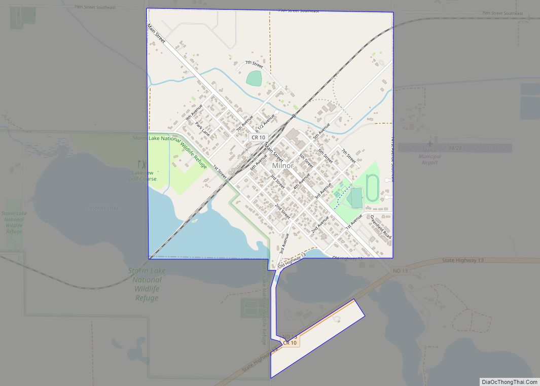
Milnor is a city in Sargent County, North Dakota, United States. The population was 624 at the 2020 census. Milnor city overview: Name: Milnor city LSAD Code: 25 LSAD Description: city (suffix) State: North Dakota County: Sargent County Founded: 1883 Elevation: 1,102 ft (336 m) Total Area: 1.08 sq mi (2.79 km²) Land Area: 1.00 sq mi (2.59 km²) Water Area: 0.08 sq mi (0.20 km²) ... Read more
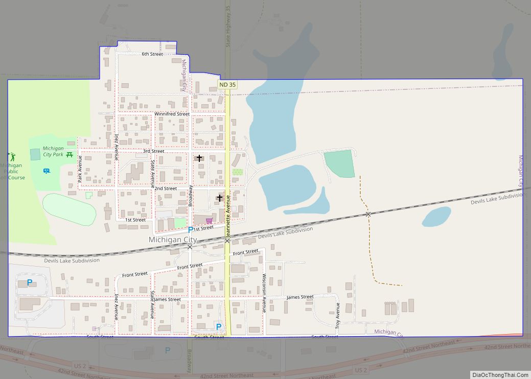
Michigan City is a city in Nelson County, North Dakota, United States. The population was 263 at the 2020 census. Though the official name is Michigan City, local residents commonly refer to the city as Michigan. The town population has been declining since the 1980 census. Michigan City was founded in 1882 by Edwin A. ... Read more
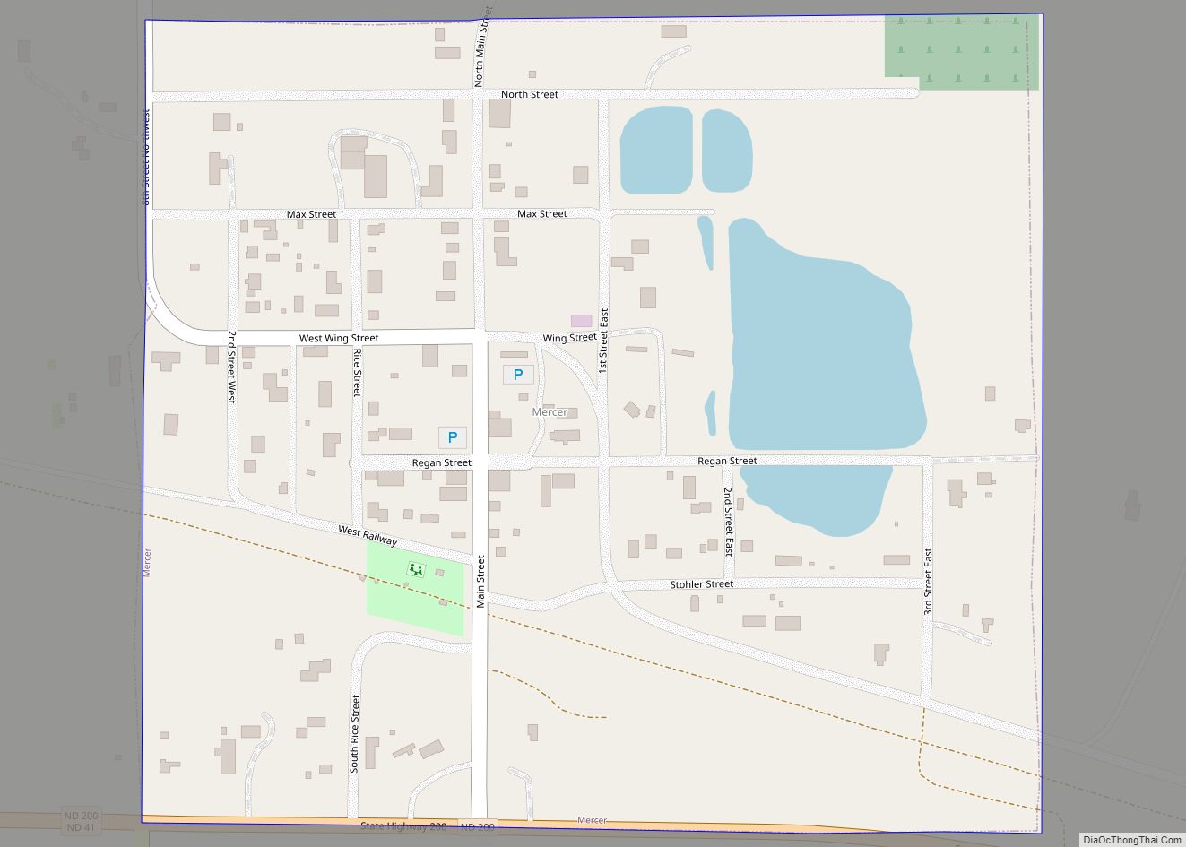
Mercer is a city in McLean County, North Dakota, United States. The population was 88 at the 2020 census. Mercer was founded in 1905 along a now-abandoned branch line of the Northern Pacific Railway extending from Carrington to Turtle Lake. The name comes from William Henry Harrison Mercer, a well known rancher in the Missouri ... Read more
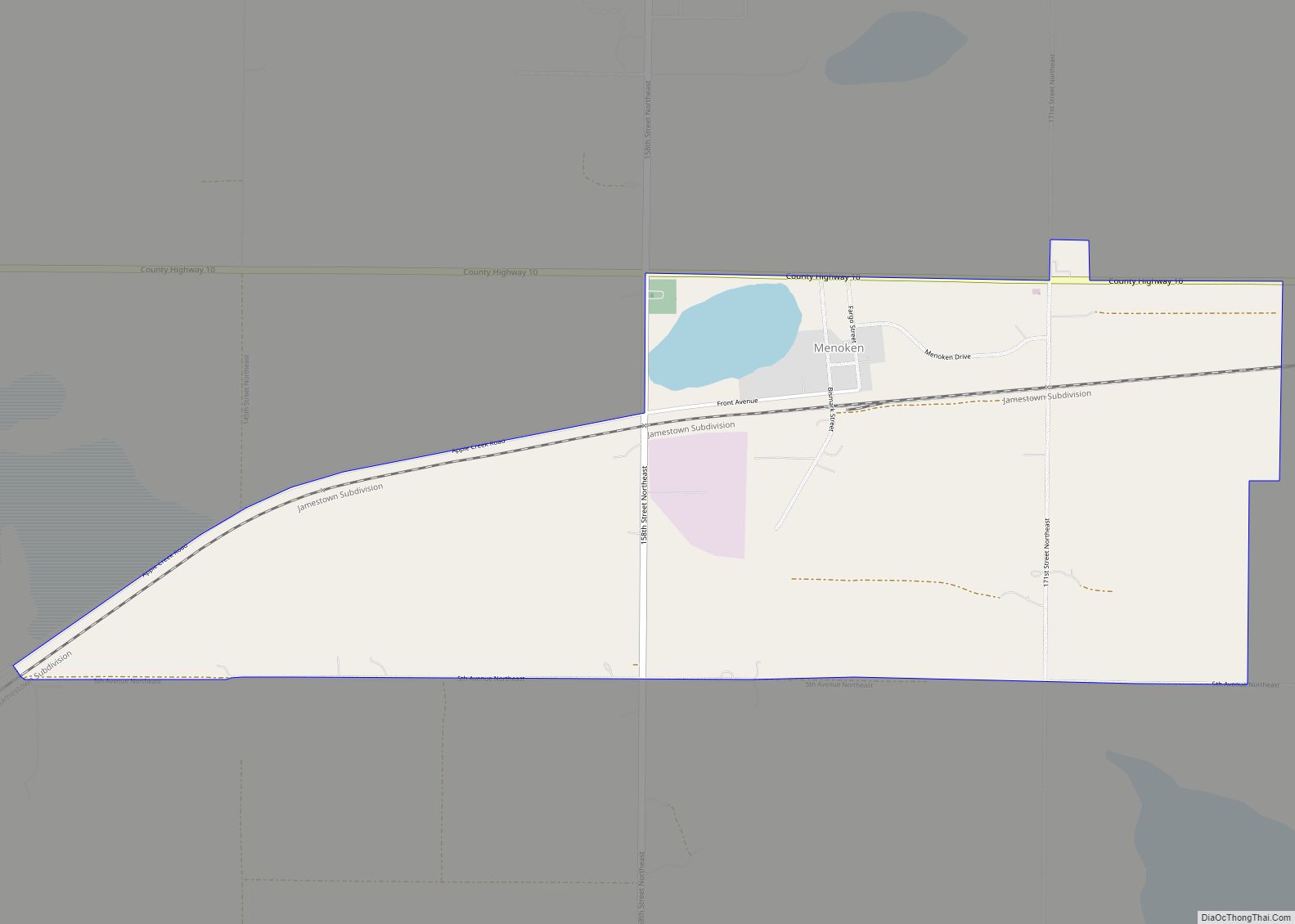
Menoken is an unincorporated community and a census-designated place (CDP) in southwestern Burleigh County, North Dakota, United States. It was designated as part of the U.S. Census Bureau’s Participant Statistical Areas Program on June 10, 2010. It was not counted separately during the 2000 Census, but was included in the 2010 Census, where a population ... Read more
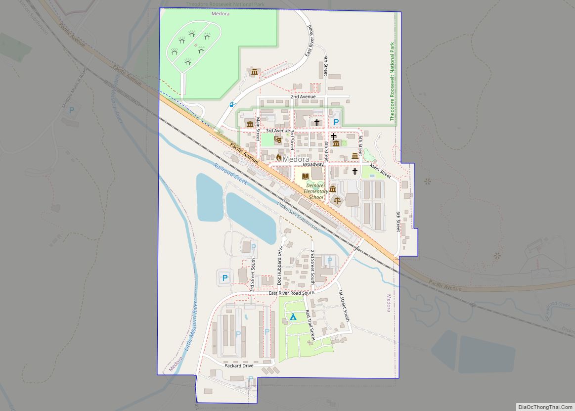
Medora is a city in Billings County, North Dakota, United States. The only incorporated place in Billings County, it is also the county seat. Much of the surrounding area is part of either Little Missouri National Grassland or Theodore Roosevelt National Park. The population was 121 at the 2020 census. It is part of the ... Read more

