Map of Regent city
Regent is a city in Hettinger County, North Dakota, United States. The population was 170 at the 2020 census. Regent city overview: Name: Regent city LSAD Code: 25 LSAD Description: city (suffix) State: North Dakota County: Hettinger County Elevation: 2,461 ft (750 m) Total Area: 0.56 sq mi (1.45 km²) Land Area: 0.56 sq mi (1.45 km²) Water Area: 0.00 sq mi (0.00 km²) Total Population: ... Read more
Map of Regent city
Map of Regan city
Regan is a city in Burleigh County, North Dakota, United States. Its population was 35 at the 2020 census. Regan was founded in 1912. Regan city overview: Name: Regan city LSAD Code: 25 LSAD Description: city (suffix) State: North Dakota County: Burleigh County Elevation: 2,034 ft (620 m) Total Area: 1.01 sq mi (2.63 km²) Land Area: 1.01 sq mi (2.63 km²) Water ... Read more
Map of Regan city
Map of Reeder city
Reeder is a city in Adams County, North Dakota, United States. The population was 125 at the 2020 census. Reeder was founded in 1907 along the Chicago, Milwaukee, St. Paul and Pacific Railroad and named after E. O. Reeder, the railroad’s assistant chief engineer. Reeder is a stop along the old Yellowstone Trail, the first ... Read more
Map of Reeder city
Map of Ray city, North Dakota
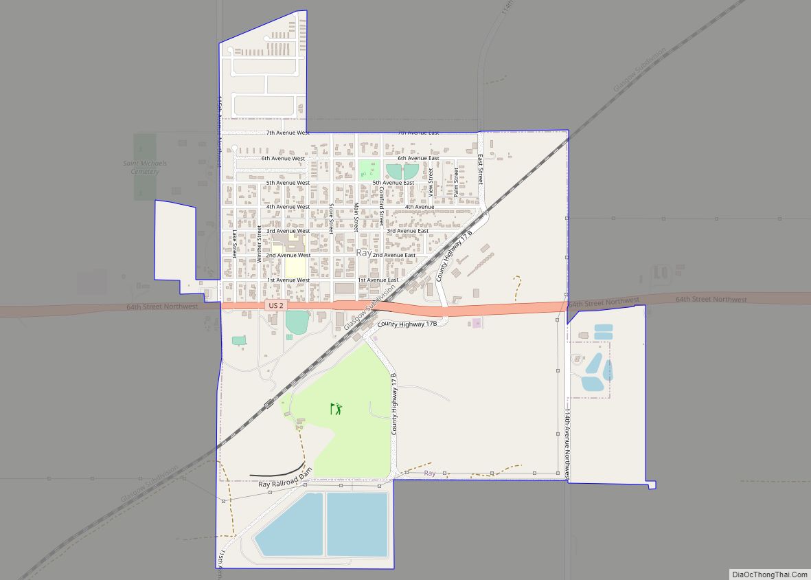
Ray is a city in Williams County, North Dakota, United States. The population was 740 at the 2020 census. Ray city overview: Name: Ray city LSAD Code: 25 LSAD Description: city (suffix) State: North Dakota County: Williams County Founded: 1902 Elevation: 2,274 ft (693 m) Total Area: 1.36 sq mi (3.51 km²) Land Area: 1.32 sq mi (3.42 km²) Water Area: 0.04 sq mi (0.09 km²) ... Read more
Map of Ray city, North Dakota
Map of Rugby city
Rugby is a city in, and the county seat of, Pierce County, North Dakota, United States. The population was 2,509 at the 2020 census, making it the 19th largest city in North Dakota. Rugby was founded in 1886. Rugby is often billed as the geographic center of North America. Rugby city overview: Name: Rugby city ... Read more
Map of Rugby city
Map of Ross city, North Dakota
Ross is a city in Mountrail County, North Dakota, United States. The population was 95 at the 2020 census. Ross city overview: Name: Ross city LSAD Code: 25 LSAD Description: city (suffix) State: North Dakota County: Mountrail County Founded: 1902 Elevation: 2,303 ft (702 m) Total Area: 0.29 sq mi (0.75 km²) Land Area: 0.29 sq mi (0.75 km²) Water Area: 0.00 sq mi (0.00 km²) ... Read more
Map of Ross city, North Dakota
Map of Rolla city, North Dakota
Rolla (/ˈrɒlə/ ROL-ə) is a city in Rolette County, North Dakota, United States. It is the county seat of Rolette County. The population was 1,223 at the 2020 census. The city contains a small park and a small outdoor pool. Rolla city overview: Name: Rolla city LSAD Code: 25 LSAD Description: city (suffix) State: North ... Read more
Map of Rolla city, North Dakota
Map of Rolette city
Rolette is a city in Rolette County, North Dakota, United States. The population was 484 at the 2020 census. Rolette city overview: Name: Rolette city LSAD Code: 25 LSAD Description: city (suffix) State: North Dakota County: Rolette County Founded: 1905 Incorporated: 1930 Elevation: 1,627 ft (496 m) Total Area: 1.01 sq mi (2.61 km²) Land Area: 1.01 sq mi (2.61 km²) Water Area: ... Read more
Map of Rolette city
Map of Rogers city, North Dakota
Rogers is a city in Barnes County, North Dakota, United States. The population was 49 at the 2020 census. Rogers was founded in 1897. Rogers city overview: Name: Rogers city LSAD Code: 25 LSAD Description: city (suffix) State: North Dakota County: Barnes County Founded: 1897 Elevation: 1,427 ft (435 m) Total Area: 0.98 sq mi (2.55 km²) Land Area: 0.98 sq mi ... Read more
Map of Rogers city, North Dakota
Map of Rocklake city
Rocklake is a city in Towner County, North Dakota, United States. The population was 94 at the 2020 census. The city lies a few miles south of the Canada–United States border, near the junction of U.S. Route 281 and North Dakota State Highway 5. Rocklake city overview: Name: Rocklake city LSAD Code: 25 LSAD Description: ... Read more
Map of Rocklake city
Map of Robinson city, North Dakota
Robinson is a city in Kidder County, North Dakota, United States. The population was 36 at the 2020 census. Robinson was founded in 1911. Robinson city overview: Name: Robinson city LSAD Code: 25 LSAD Description: city (suffix) State: North Dakota County: Kidder County Elevation: 1,791 ft (546 m) Total Area: 0.17 sq mi (0.45 km²) Land Area: 0.17 sq mi (0.45 km²) Water ... Read more
Map of Robinson city, North Dakota
Map of Riverdale city, North Dakota
Riverdale is a town in McLean County, North Dakota, United States. The population was 223 at the 2020 census. Riverdale was the largest of the construction camps that sprang up in 1946 to house workers building the Garrison Dam just to the west. After the dam was completed in 1953, residents of the other camps ... Read more
Map of Riverdale city, North Dakota