Rolla (/ˈrɒlə/ ROL-ə) is a city in Rolette County, North Dakota, United States. It is the county seat of Rolette County. The population was 1,223 at the 2020 census. The city contains a small park and a small outdoor pool.
| Name: | Rolla city |
|---|---|
| LSAD Code: | 25 |
| LSAD Description: | city (suffix) |
| State: | North Dakota |
| County: | Rolette County |
| Founded: | 1888 |
| Elevation: | 1,814 ft (553 m) |
| Total Area: | 1.46 sq mi (3.78 km²) |
| Land Area: | 1.46 sq mi (3.78 km²) |
| Water Area: | 0.00 sq mi (0.00 km²) |
| Total Population: | 1,223 |
| Population Density: | 837.10/sq mi (323.17/km²) |
| ZIP code: | 58367 |
| Area code: | 701 |
| FIPS code: | 3867820 |
| GNISfeature ID: | 1030958 |
| Website: | ndrolla.com |
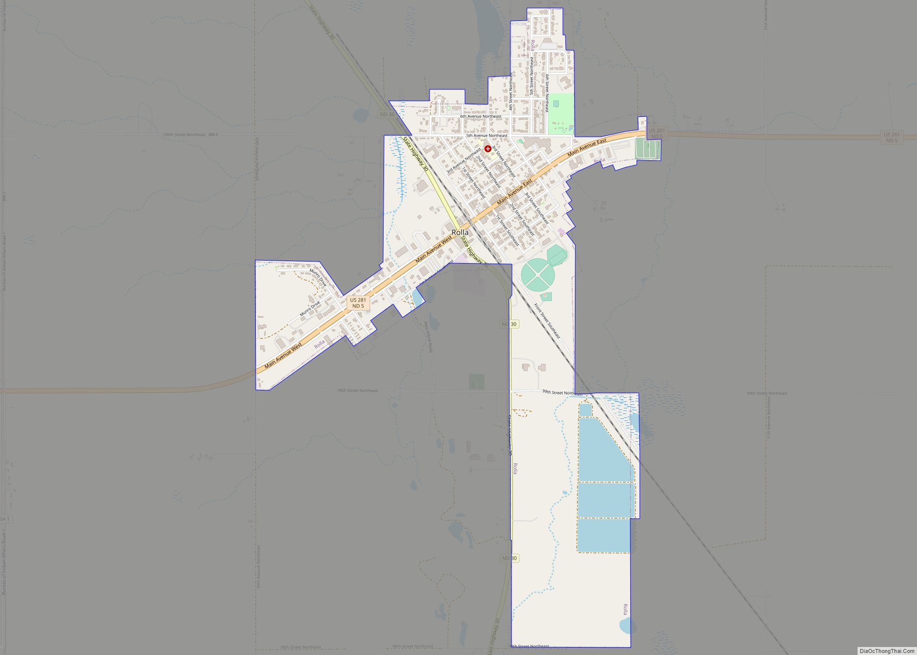
Online Interactive Map
Click on ![]() to view map in "full screen" mode.
to view map in "full screen" mode.
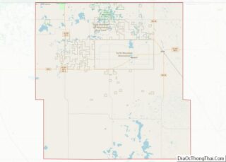
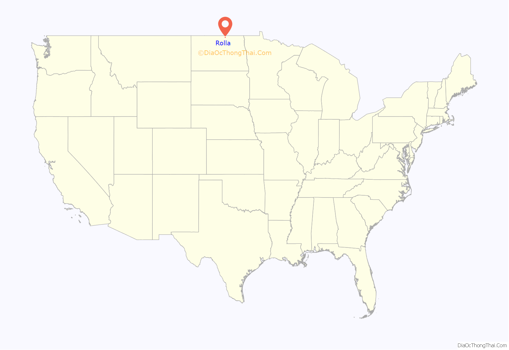
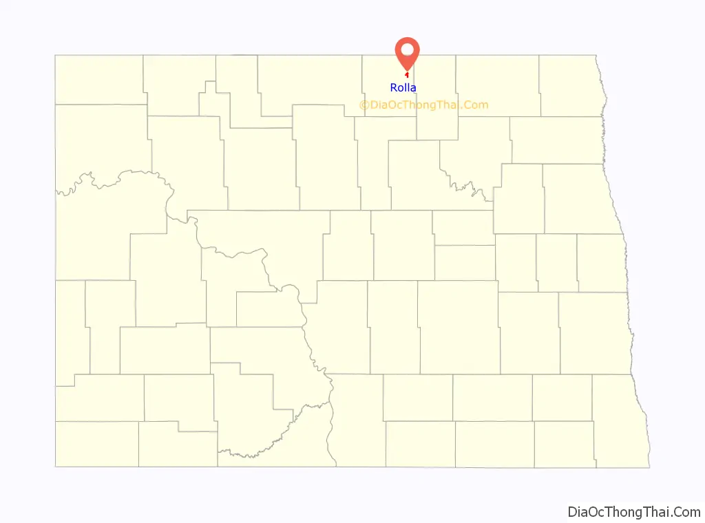
Rolla location map. Where is Rolla city?
History
Rolla was laid out in 1888 in part of Edward Owen’s homestead. The origin of the name Rolla is disputed, but there are three main theories. It was either derived from a contraction of the county name, which was coined by Dr. Richard D. Cowan, a local physician, it was named after Arthur Noyes’s brother, Rolla, or it was named after Rolla, Missouri. A post office has been in operation in Rolla since 1888. In 1890, it was made the county seat, and in the year following on April 21 it was officially a village. The city was incorporated in 1907.
Mayors of Rolla
- Charles Duchesneau (1907–1908)
- A. O. Graham (1908–1911)
- James P. Widmeyer (1911–1916)
- R. H. Butterwick (1916–1923)
- R.G. Mosher (1923–1930)
- C.R. Jacobsen (1930–1950)
- Warren Munro (1950–1958)
- R. T. Foley (1958–1960)
- Charles Sobolik (1960–1962)
- Elmer Larson (1962–1966)
- Rudolph J. Walder (1966–1971)
- Clarence Eller (1971–1978)
- Donald Engbrecht (1978–1986)
- Dennis Neameyer (1986–?)
- Scott Mitchell (Before 2017–?)
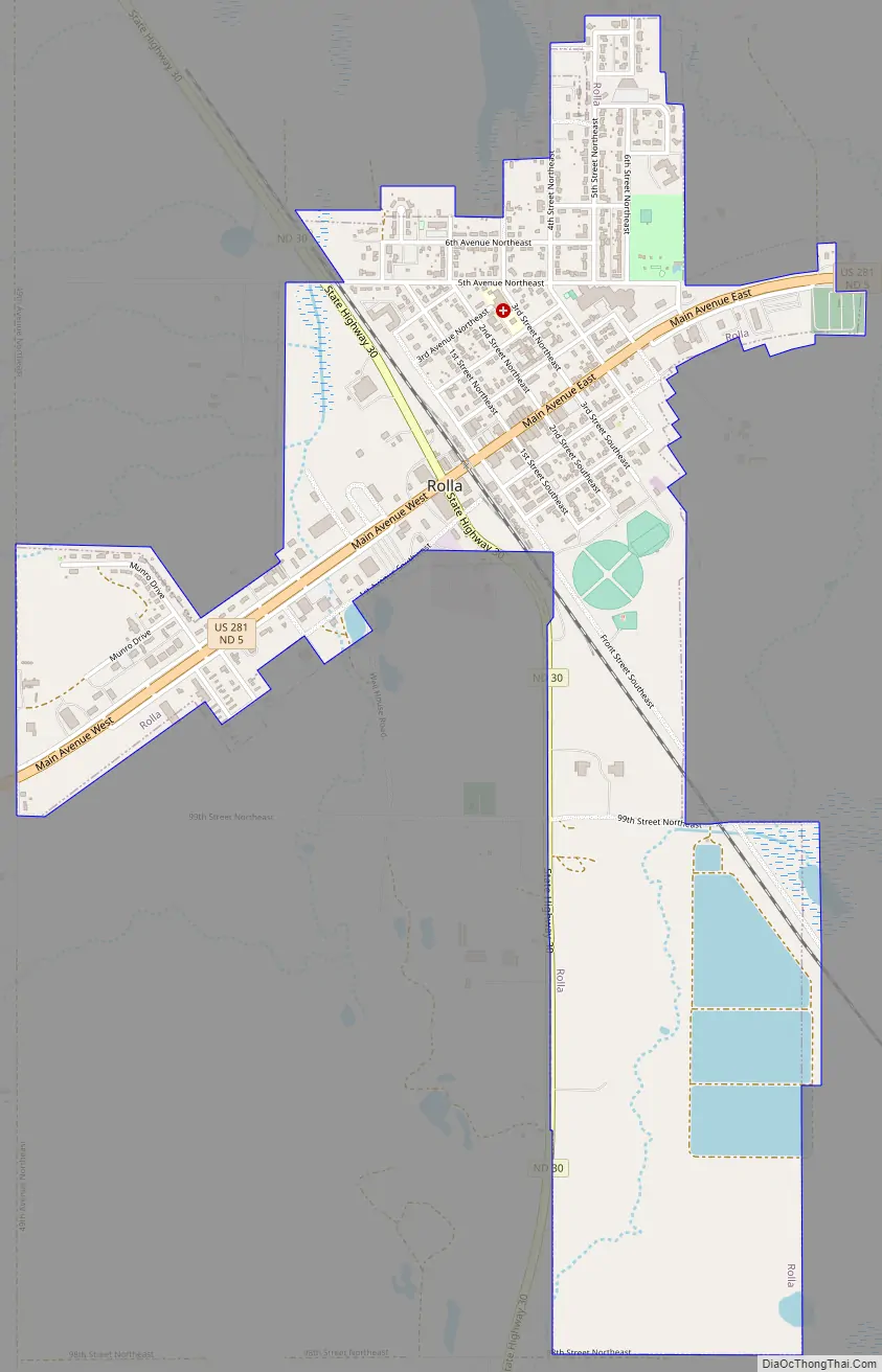
Rolla Road Map
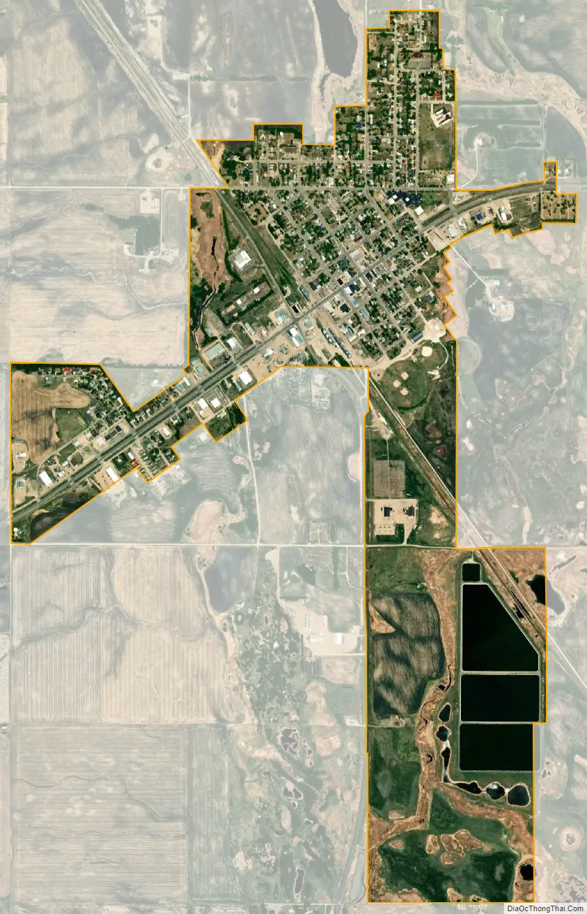
Rolla city Satellite Map
Geography
Rolla is located at 48°51′35″N 99°36′55″W / 48.859842°N 99.615187°W / 48.859842; -99.615187.
According to the United States Census Bureau, the city has a total area of 1.43 square miles (3.70 km), all land.
Climate
Like most of North Dakota, Rolla has a humid continental climate (Köppen Dfb/Dwb), characterized by warm summers and frigid, dry winters. With an average January low of −2.4 °F or −19.1 °C it is one of the coldest places in the contiguous United States and is comparably cold in winter to Nome, Alaska sixteen degrees further north. As many as 48 mornings can be expected to fall to or below 0 °F or −17.8 °C based on 1981–2010 data, although based on the cooler 1971–2000 data the figure was as many as 57.4 mornings this cold, and all but one morning fell to or below 0 °F (−17.8 °C) in January 1950 and January 1982. Unlike more westerly parts of the Dakotas, above-freezing temperatures are rare during winter: only sixteen afternoons top freezing during the three winter months, and fewer than half of all afternoons in March and November. The average window for zero temperatures is November 26 to March 13, and for freezing temperatures September 25 to May 17, allowing a frost-free season of 130 days.
Snowfall is limited by the dryness of the winter climate: the most in one month being 35.5 inches (0.90 m) in January 1989 and the most in one season 73.6 inches (1.87 m) between July 1975 and June 1976; in contrast as little as 19.9 inches (0.51 m) fell between July 1957 and June 1958.
Summers in Rolla are warm with occasional heavy rainfall from thunderstorms, although when a hot southerly flow occurs temperatures can become uncomfortably hot. The hottest temperature recorded in Rolla has been 101 °F or 38.3 °C on August 7, 1949 and the hottest mean monthly maximum 86.5 °F or 30.3 °C in August 1961; in contrast August 2004 had a mean maximum as low as 65.2 °F (18.4 °C) and did not rise above 77 °F or 25 °C. The wettest month by far has been June 1954 with 13.12 inches (333.2 mm) including a daily fall of 3.29 inches (83.6 mm) on June 7; however no other month has passed 8.50 inches or 216 millimetres. The wettest calendar year has been 1905 with 30.39 inches (771.9 mm) and the driest 1988 with 11.23 inches (285.2 mm).
See also
Map of North Dakota State and its subdivision:- Adams
- Barnes
- Benson
- Billings
- Bottineau
- Bowman
- Burke
- Burleigh
- Cass
- Cavalier
- Dickey
- Divide
- Dunn
- Eddy
- Emmons
- Foster
- Golden Valley
- Grand Forks
- Grant
- Griggs
- Hettinger
- Kidder
- Lamoure
- Logan
- McHenry
- McIntosh
- McKenzie
- McLean
- Mercer
- Morton
- Mountrail
- Nelson
- Oliver
- Pembina
- Pierce
- Ramsey
- Ransom
- Renville
- Richland
- Rolette
- Sargent
- Sheridan
- Sioux
- Slope
- Stark
- Steele
- Stutsman
- Towner
- Traill
- Walsh
- Ward
- Wells
- Williams
- Alabama
- Alaska
- Arizona
- Arkansas
- California
- Colorado
- Connecticut
- Delaware
- District of Columbia
- Florida
- Georgia
- Hawaii
- Idaho
- Illinois
- Indiana
- Iowa
- Kansas
- Kentucky
- Louisiana
- Maine
- Maryland
- Massachusetts
- Michigan
- Minnesota
- Mississippi
- Missouri
- Montana
- Nebraska
- Nevada
- New Hampshire
- New Jersey
- New Mexico
- New York
- North Carolina
- North Dakota
- Ohio
- Oklahoma
- Oregon
- Pennsylvania
- Rhode Island
- South Carolina
- South Dakota
- Tennessee
- Texas
- Utah
- Vermont
- Virginia
- Washington
- West Virginia
- Wisconsin
- Wyoming