Drayton is a city in Pembina County, North Dakota, United States. The population was 757 at the 2020 census. Drayton was founded in 1878. Drayton city overview: Name: Drayton city LSAD Code: 25 LSAD Description: city (suffix) State: North Dakota County: Pembina County Founded: 1878 Elevation: 801 ft (244 m) Total Area: 0.66 sq mi (1.71 km²) Land Area: 0.66 sq mi ... Read more
North Dakota Cities and Places
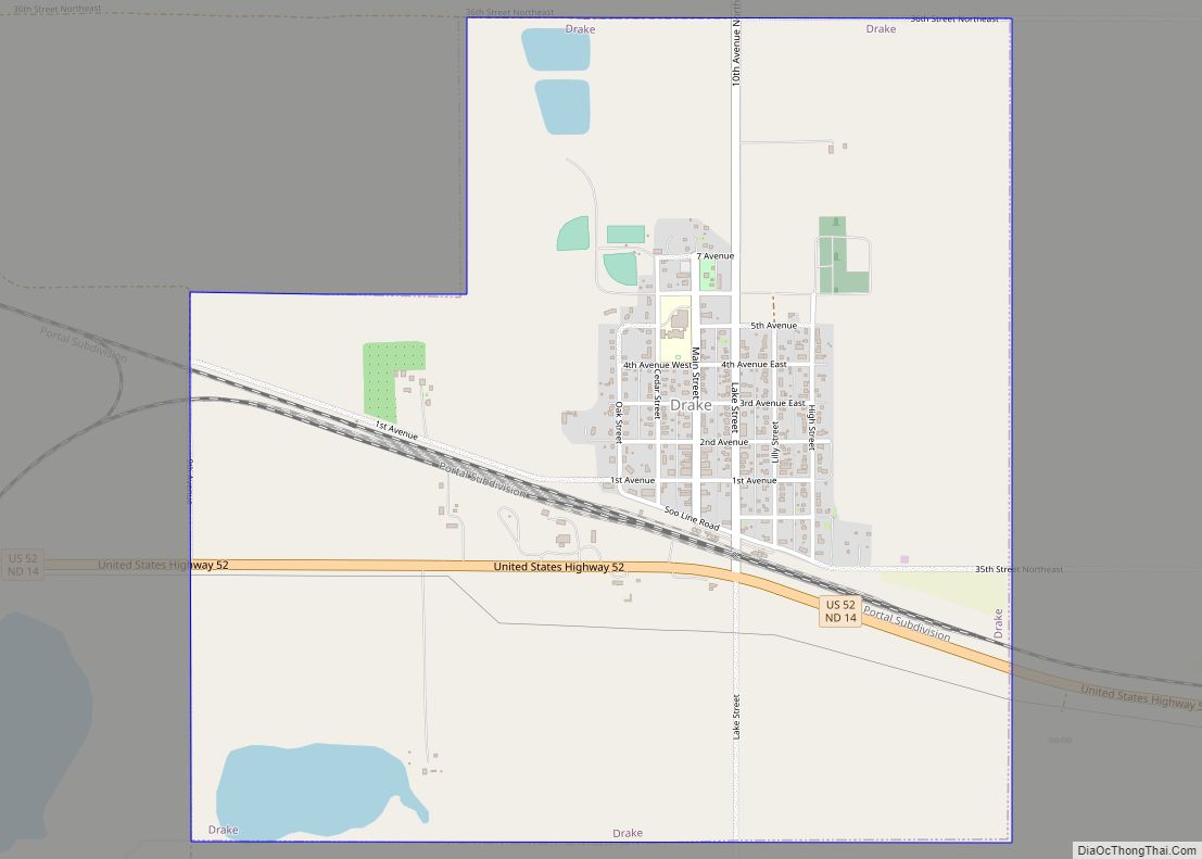
Drake is a city in McHenry County, North Dakota, United States. The population was 292 at the 2020 census. It is part of the Minot Micropolitan Statistical Area. Drake was founded in 1902 and named after Herman Drake, a settler. Drake city overview: Name: Drake city LSAD Code: 25 LSAD Description: city (suffix) State: North ... Read more
Douglas is a city in Ward County, North Dakota, United States. The population was 93 at the 2020 census. It is part of the Minot Micropolitan Statistical Area. Douglas was founded in 1906. In the late 1990s & early 2000s, multiple business buildings on Main Street were demolished. Between 2005 and 2009, the school was ... Read more
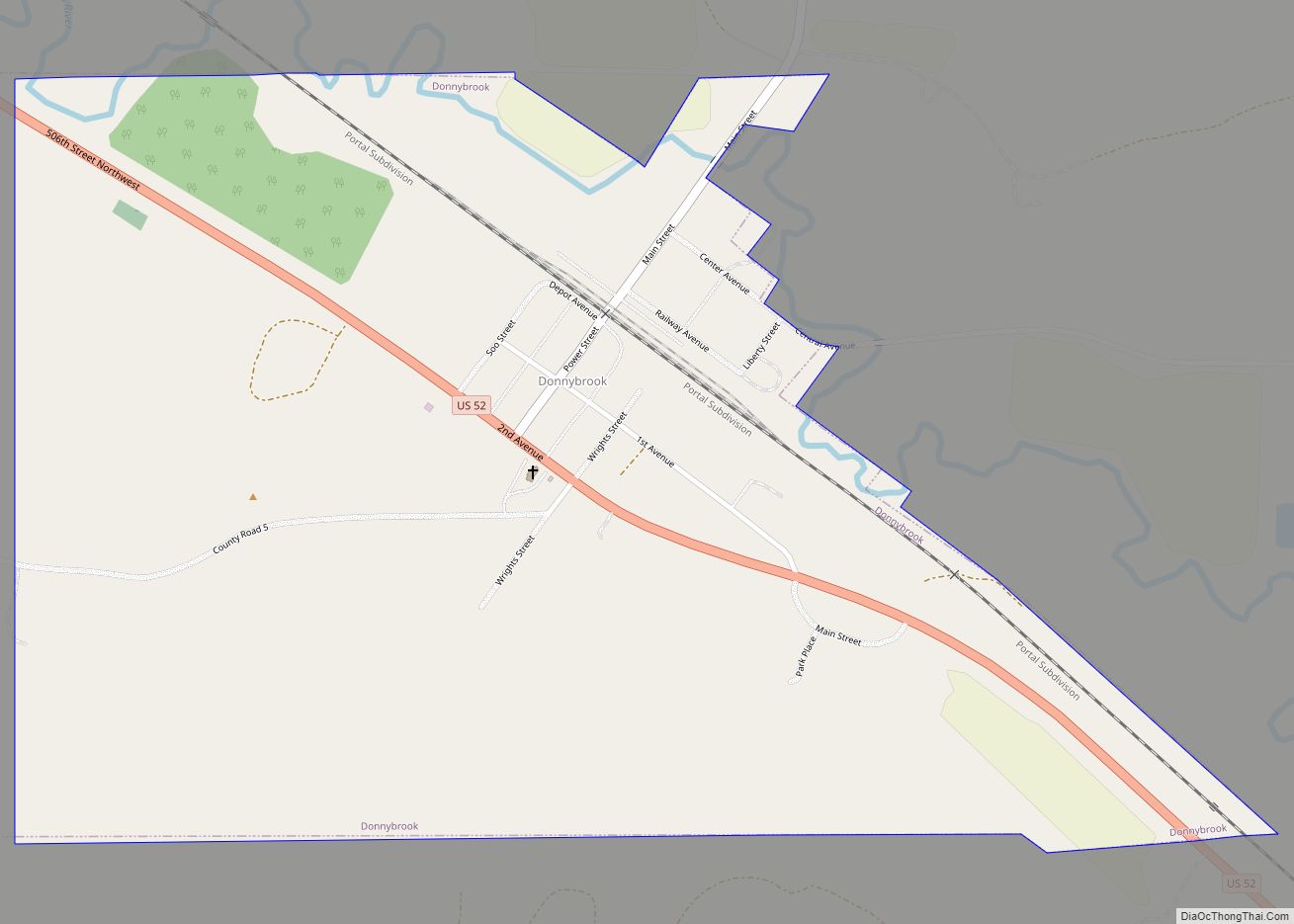
Donnybrook is a city in Ward County, North Dakota, United States. The population was 75 at the 2020 census. It is part of the Minot Micropolitan Statistical Area. The first place named Donnybrook was founded in 1895 and named after Donnybrook Fair in Ireland. In 1897, the postmaster of this site changed the name to ... Read more
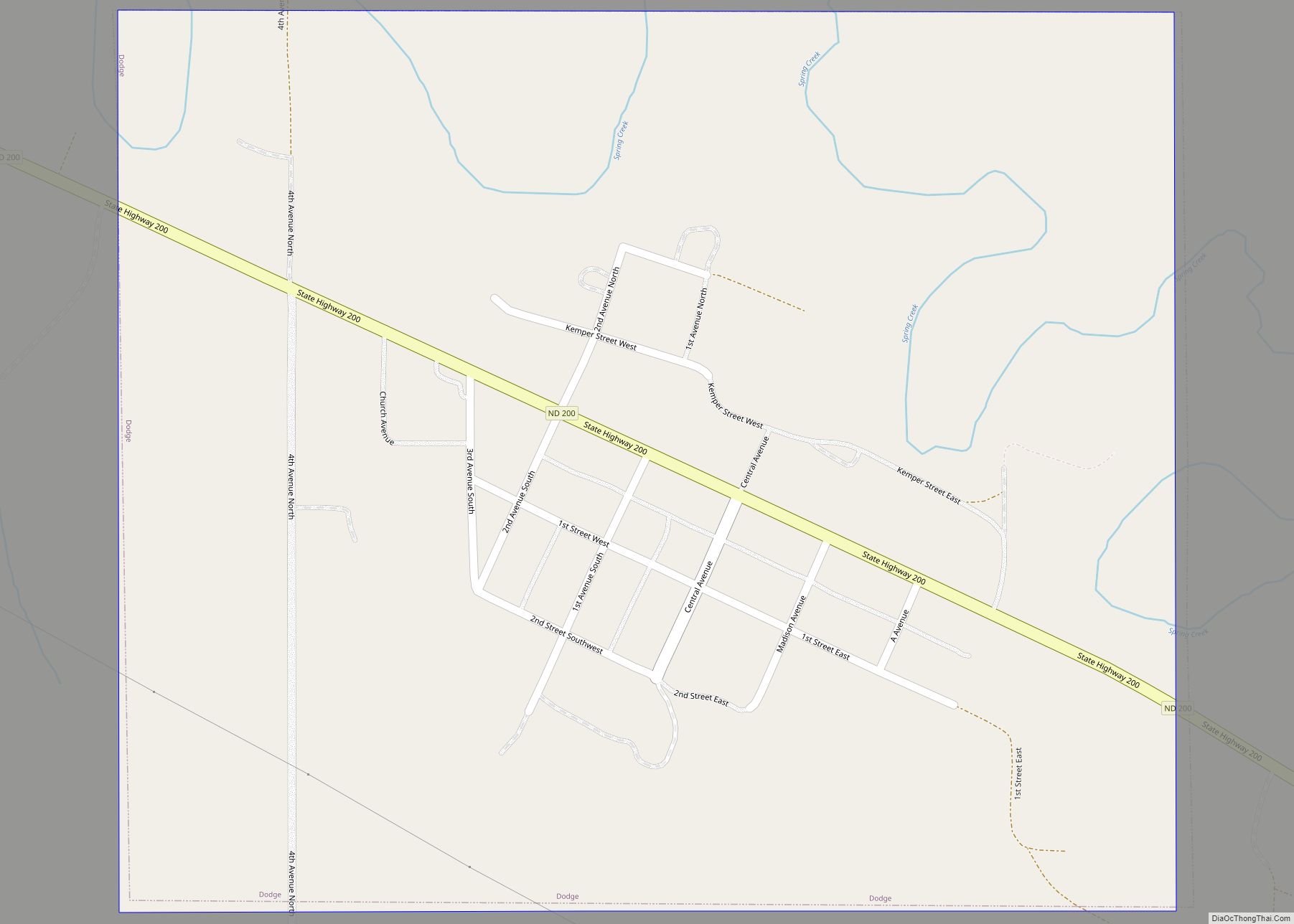
Dodge is a city in Dunn County, North Dakota, United States. The population was 89 at the 2020 census. Dodge was founded in 1915. Dodge city overview: Name: Dodge city LSAD Code: 25 LSAD Description: city (suffix) State: North Dakota County: Dunn County Founded: 1915 Elevation: 1,998 ft (609 m) Total Area: 0.47 sq mi (1.21 km²) Land Area: 0.47 sq mi ... Read more
East Dunseith is a census-designated place (CDP) in Rolette County, North Dakota, United States. The population was 500 at the 2020 census. East Dunseith CDP overview: Name: East Dunseith CDP LSAD Code: 57 LSAD Description: CDP (suffix) State: North Dakota County: Rolette County Elevation: 2,073 ft (632 m) Total Area: 5.21 sq mi (13.48 km²) Land Area: 5.13 sq mi (13.28 km²) Water ... Read more
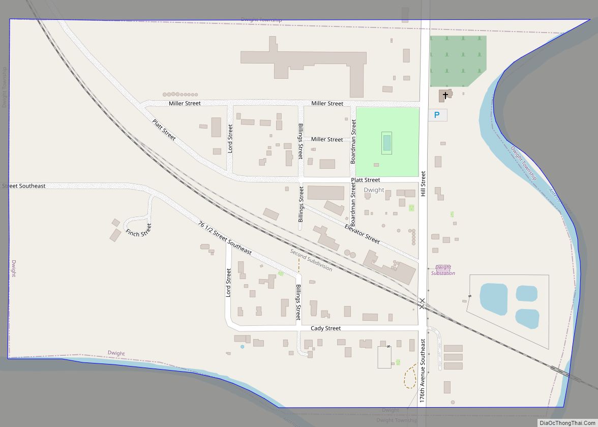
Dwight is a city in Richland County, North Dakota, United States. The population was 80 at the 2020 census. Dwight was founded in 1881. It is part of the Wahpeton, ND–MN Micropolitan Statistical Area. Dwight city overview: Name: Dwight city LSAD Code: 25 LSAD Description: city (suffix) State: North Dakota County: Richland County Founded: 1881 ... Read more
Dunseith (/dʌnˈsiːθ/ dun-SEETH) is a city in Rolette County, North Dakota, United States. The population was 632 at the 2020 census. Dunseith is best known for its proximity to the International Peace Garden. The port of entry at the Peace Garden is one of three 24-hour ports in North Dakota (the others being Portal and ... Read more
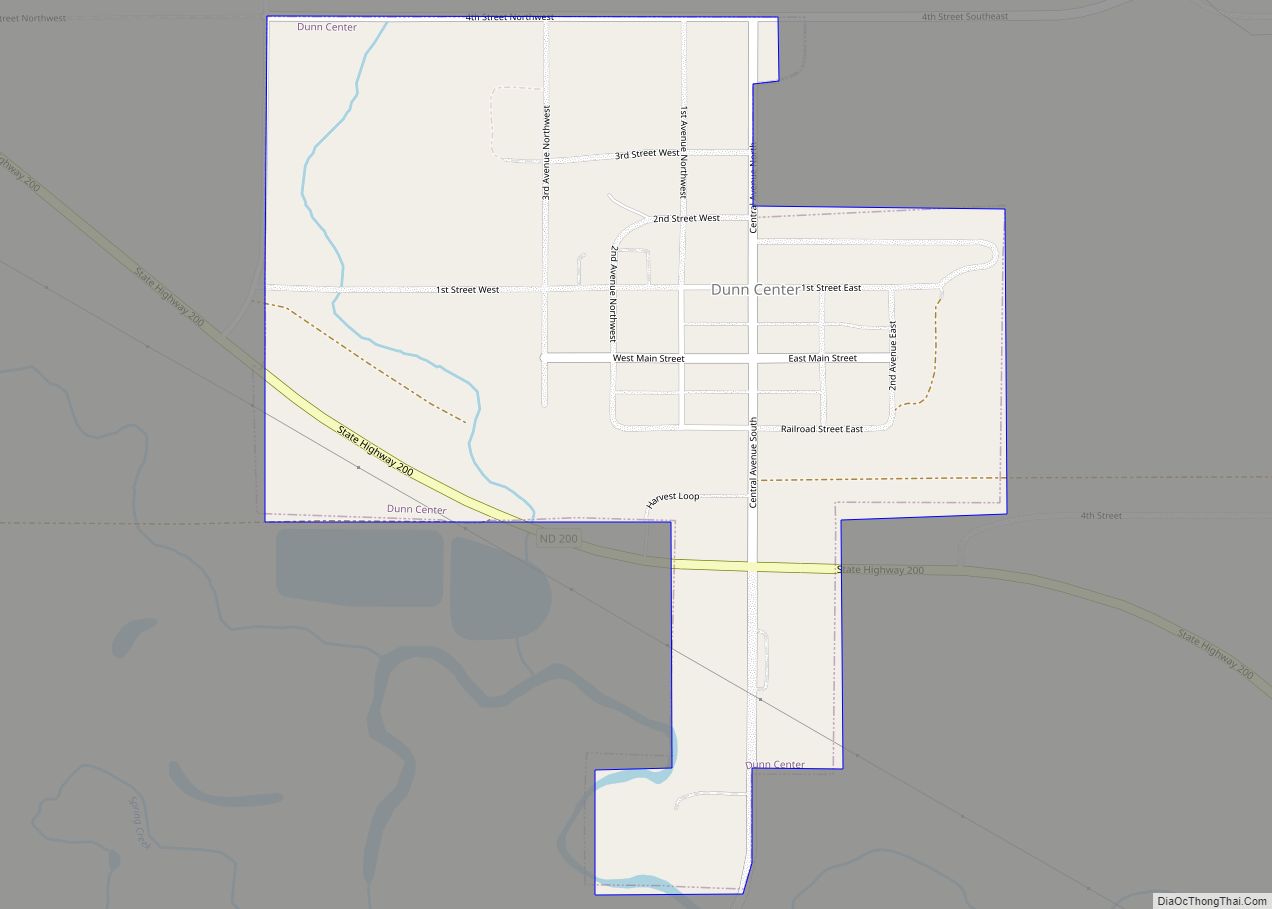
Dunn Center is a city in Dunn County, North Dakota, United States. The population was 227 at the 2020 census. Dunn Center was founded in 1914. Dunn Center city overview: Name: Dunn Center city LSAD Code: 25 LSAD Description: city (suffix) State: North Dakota County: Dunn County Founded: 1914 Elevation: 2,188 ft (667 m) Total Area: 0.39 sq mi ... Read more
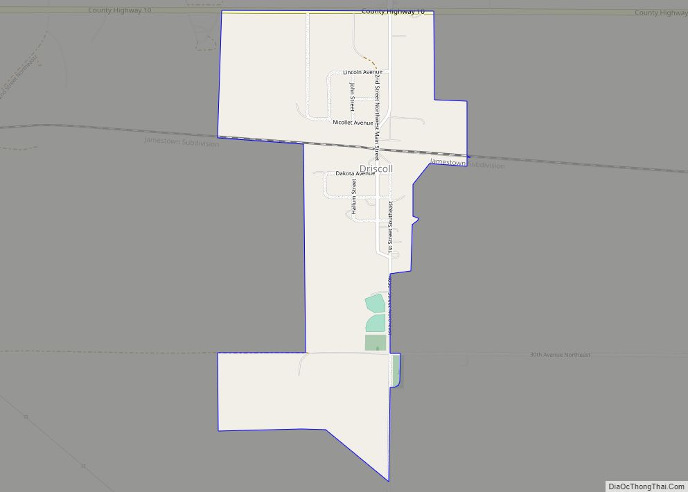
Driscoll is a census-designated place in southeastern Burleigh County, North Dakota, United States. An unincorporated community, it was designated as part of the U.S. Census Bureau’s Participant Statistical Areas Program on June 10, 2010. It was not counted separately during the 2000 Census, but was included in the 2010 Census, where a population of 82 ... Read more
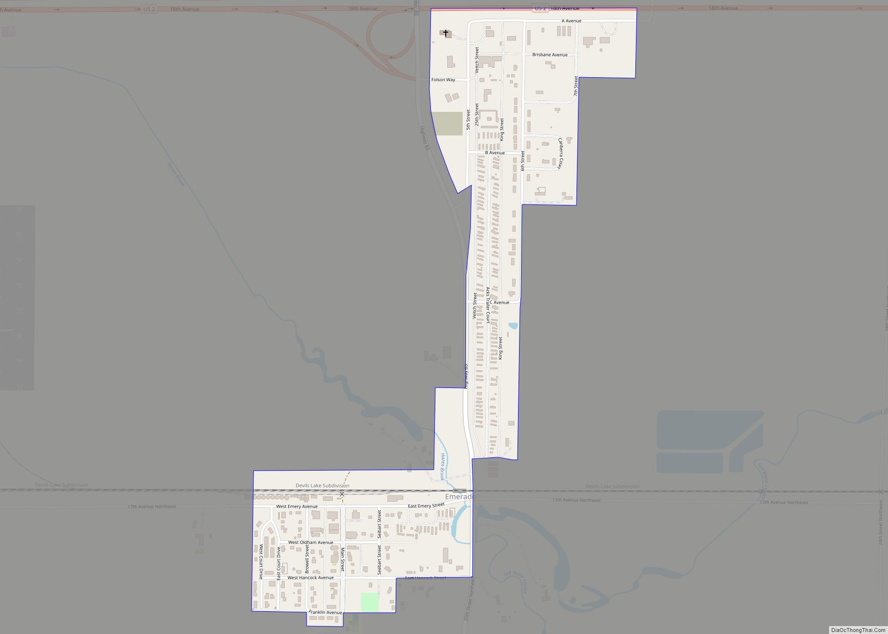
Emerado is a city in Grand Forks County, North Dakota, United States located near Grand Forks Air Force Base. It is part of the “Grand Forks, ND–MN Metropolitan Statistical Area” or “Greater Grand Forks”. The population was 443 at the 2020 census. Grand Forks Air Force Base is located near Emerado. Emerado city overview: Name: ... Read more
Embden is a census-designated place and unincorporated community in Cass County, North Dakota, United States. Its population was 59 as of the 2010 census. Embden CDP overview: Name: Embden CDP LSAD Code: 57 LSAD Description: CDP (suffix) State: North Dakota County: Cass County Elevation: 1,056 ft (322 m) Total Area: 0.72 sq mi (1.86 km²) Land Area: 0.72 sq mi (1.86 km²) Water ... Read more

