Dunseith (/dʌnˈsiːθ/ dun-SEETH) is a city in Rolette County, North Dakota, United States. The population was 632 at the 2020 census. Dunseith is best known for its proximity to the International Peace Garden. The port of entry at the Peace Garden is one of three 24-hour ports in North Dakota (the others being Portal and Pembina). Dunseith is also the home of the world’s largest turtle sculpture, the “W’eel Turtle”, made of more than 2,000 wheels painted green.
| Name: | Dunseith city |
|---|---|
| LSAD Code: | 25 |
| LSAD Description: | city (suffix) |
| State: | North Dakota |
| County: | Rolette County |
| Founded: | 1882 |
| Elevation: | 1,706 ft (520 m) |
| Total Area: | 1.00 sq mi (2.59 km²) |
| Land Area: | 1.00 sq mi (2.59 km²) |
| Water Area: | 0.00 sq mi (0.00 km²) |
| Total Population: | 632 |
| Population Density: | 630.74/sq mi (243.59/km²) |
| ZIP code: | 58329 |
| Area code: | 701 |
| FIPS code: | 3821020 |
| GNISfeature ID: | 1028750 |
| Website: | dunseithnd.com |
Online Interactive Map
Click on ![]() to view map in "full screen" mode.
to view map in "full screen" mode.
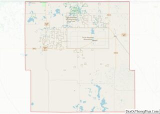
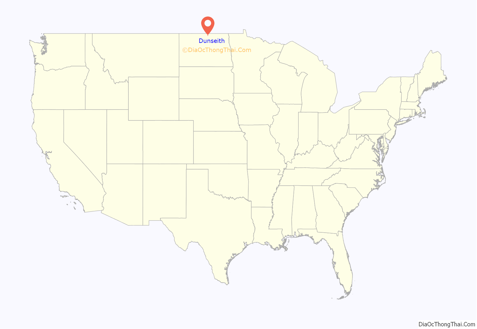
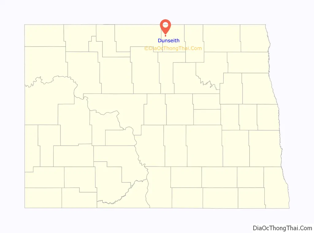
Dunseith location map. Where is Dunseith city?
History
Dunseith was platted in 1882. The town was founded by William Dunseith Eaton of Chicago in 1884. A post office has been in operation in Dunseith since 1884. The city was incorporated in 1908.
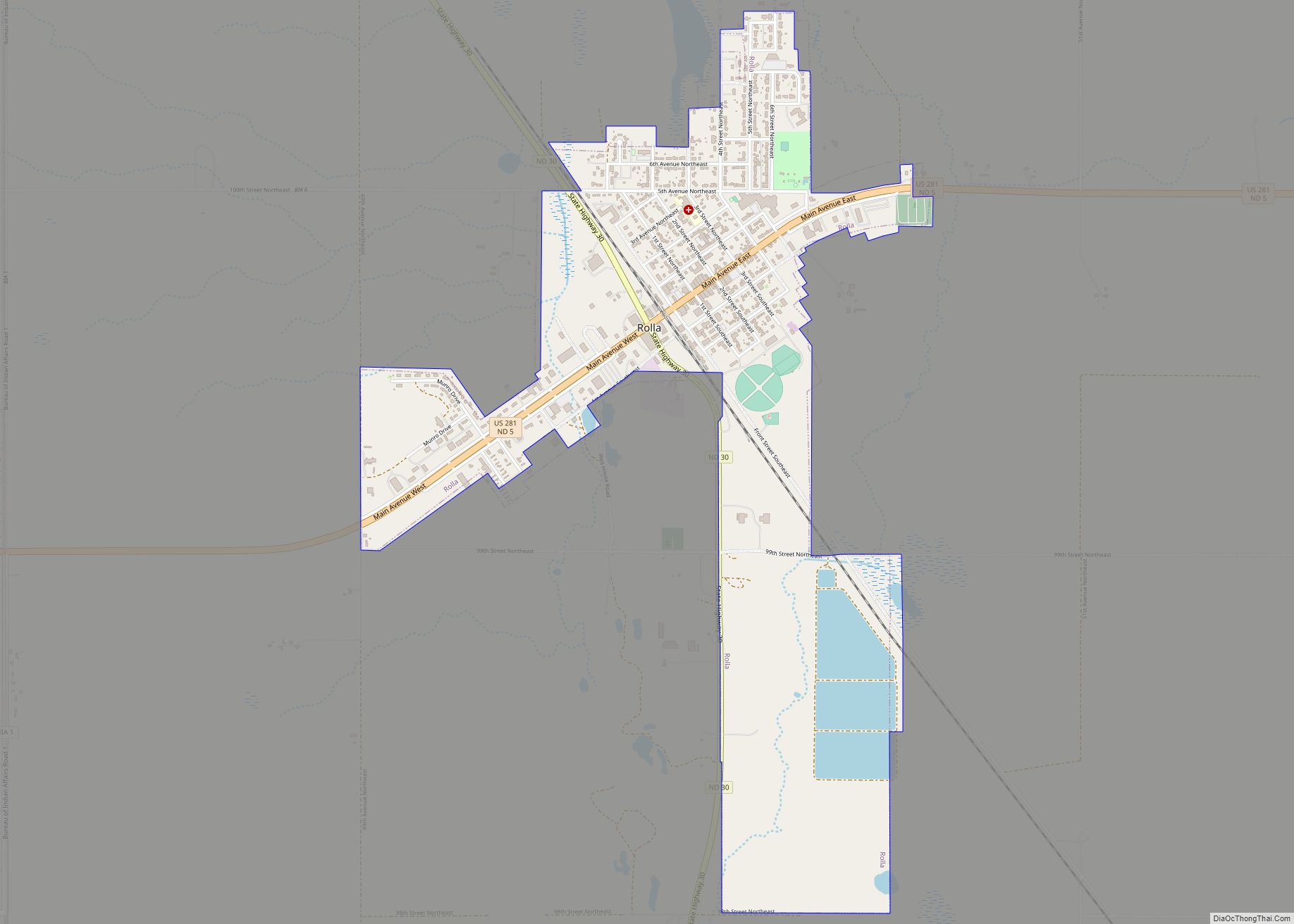
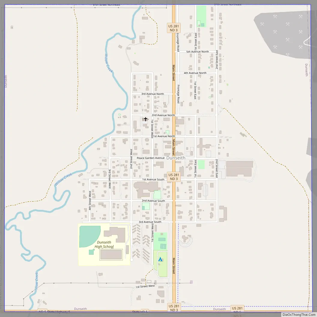
Dunseith Road Map
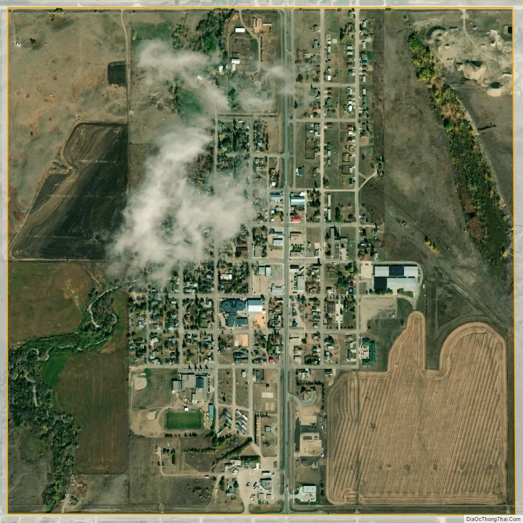
Dunseith city Satellite Map
Geography
According to the United States Census Bureau, the city has a total area of 1.00 square mile (2.59 km), all land. Dunseith lies just south of the Turtle Mountain plateau.
See also
Map of North Dakota State and its subdivision:- Adams
- Barnes
- Benson
- Billings
- Bottineau
- Bowman
- Burke
- Burleigh
- Cass
- Cavalier
- Dickey
- Divide
- Dunn
- Eddy
- Emmons
- Foster
- Golden Valley
- Grand Forks
- Grant
- Griggs
- Hettinger
- Kidder
- Lamoure
- Logan
- McHenry
- McIntosh
- McKenzie
- McLean
- Mercer
- Morton
- Mountrail
- Nelson
- Oliver
- Pembina
- Pierce
- Ramsey
- Ransom
- Renville
- Richland
- Rolette
- Sargent
- Sheridan
- Sioux
- Slope
- Stark
- Steele
- Stutsman
- Towner
- Traill
- Walsh
- Ward
- Wells
- Williams
- Alabama
- Alaska
- Arizona
- Arkansas
- California
- Colorado
- Connecticut
- Delaware
- District of Columbia
- Florida
- Georgia
- Hawaii
- Idaho
- Illinois
- Indiana
- Iowa
- Kansas
- Kentucky
- Louisiana
- Maine
- Maryland
- Massachusetts
- Michigan
- Minnesota
- Mississippi
- Missouri
- Montana
- Nebraska
- Nevada
- New Hampshire
- New Jersey
- New Mexico
- New York
- North Carolina
- North Dakota
- Ohio
- Oklahoma
- Oregon
- Pennsylvania
- Rhode Island
- South Carolina
- South Dakota
- Tennessee
- Texas
- Utah
- Vermont
- Virginia
- Washington
- West Virginia
- Wisconsin
- Wyoming