Midland is a village in Clinton County, Ohio, United States. The population was 315 at the 2010 census. Midland village overview: Name: Midland village LSAD Code: 47 LSAD Description: village (suffix) State: Ohio County: Clinton County Elevation: 984 ft (300 m) Total Area: 0.36 sq mi (0.92 km²) Land Area: 0.36 sq mi (0.92 km²) Water Area: 0.00 sq mi (0.00 km²) Total Population: 307 Population ... Read more
Ohio Cities and Places
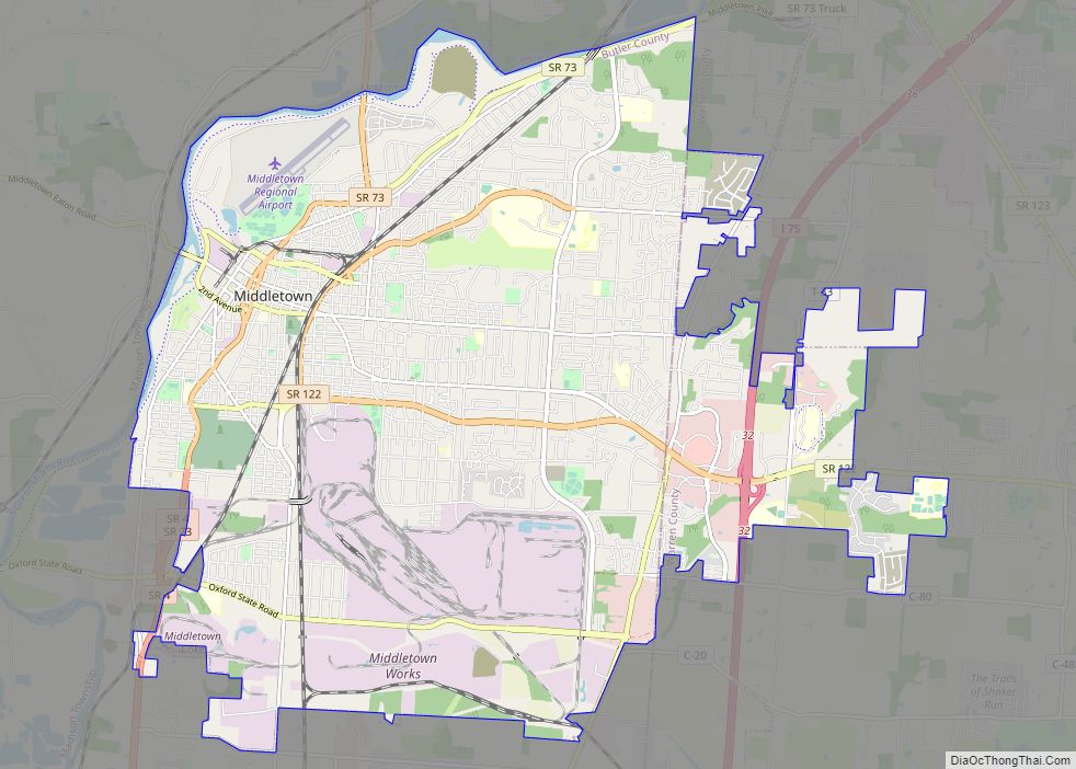
Middletown is a city located in Butler and Warren counties in the southwestern part of the U.S. state of Ohio, about 35 miles (47 km) north of Cincinnati. The population as of the 2020 census was 50,987. It is part of the Cincinnati metropolitan area. Formerly in Lemon, Turtlecreek, and Franklin townships, Middletown was incorporated by ... Read more
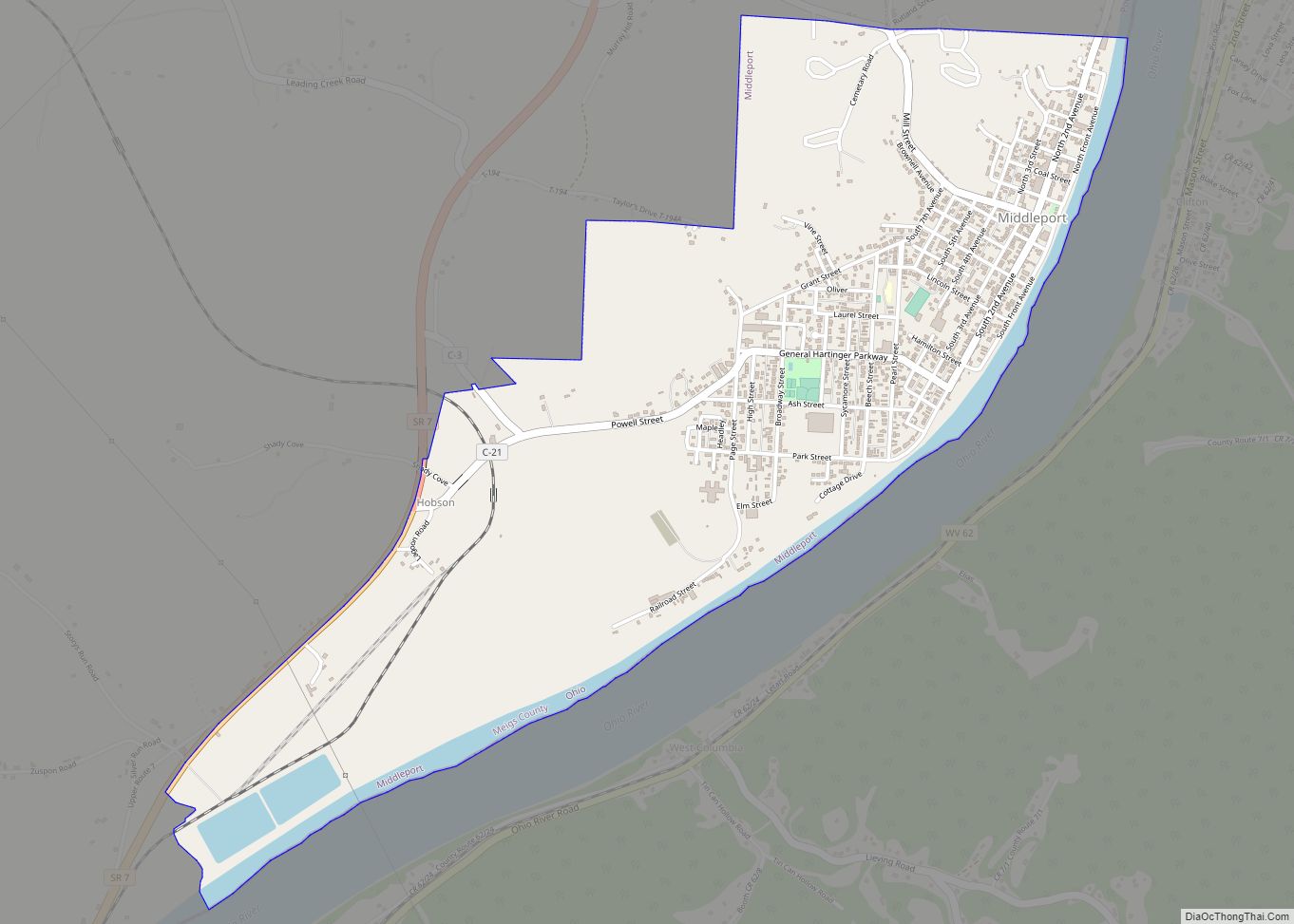
Middleport is the largest village in Meigs County, Ohio, along the Ohio River. The population was 2,208 at the time of the 2020 census. Middleport village overview: Name: Middleport village LSAD Code: 47 LSAD Description: village (suffix) State: Ohio County: Meigs County Elevation: 568 ft (173 m) Total Area: 1.90 sq mi (4.91 km²) Land Area: 1.80 sq mi (4.66 km²) Water Area: ... Read more
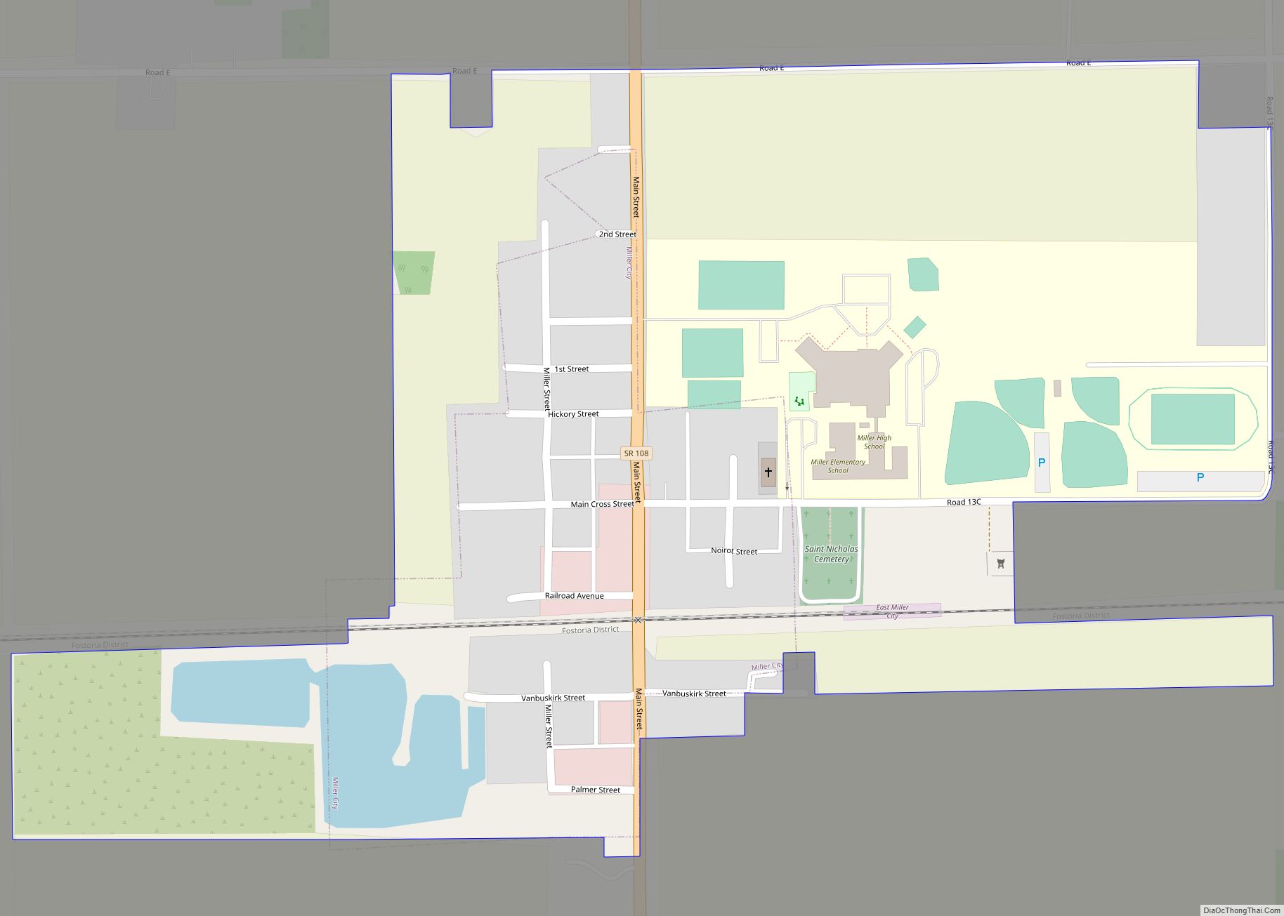
Miller City is a village in Putnam County, Ohio, United States. The population was 134 at the 2020 census. Miller City village overview: Name: Miller City village LSAD Code: 47 LSAD Description: village (suffix) State: Ohio County: Putnam County Elevation: 725 ft (221 m) Total Area: 0.40 sq mi (1.03 km²) Land Area: 0.40 sq mi (1.03 km²) Water Area: 0.00 sq mi (0.00 km²) Total ... Read more
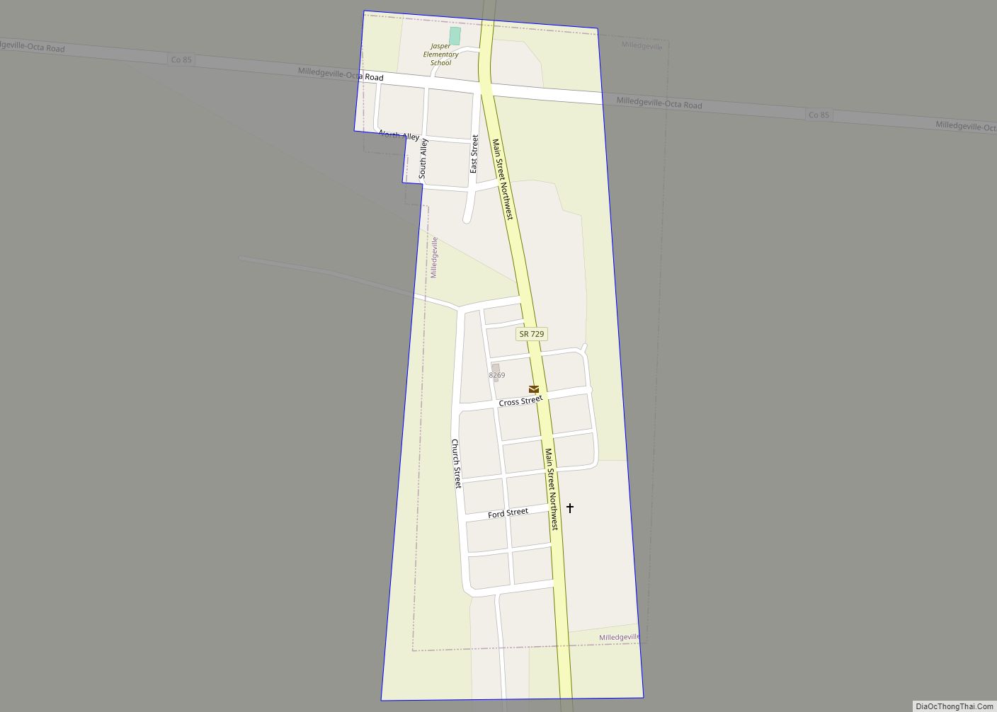
Milledgeville is a village in Jasper Township, Fayette County, Ohio, United States. The population was 112 at the 2010 census. Milledgeville village overview: Name: Milledgeville village LSAD Code: 47 LSAD Description: village (suffix) State: Ohio County: Fayette County Elevation: 1,050 ft (320 m) Total Area: 0.10 sq mi (0.26 km²) Land Area: 0.10 sq mi (0.26 km²) Water Area: 0.00 sq mi (0.00 km²) Total Population: ... Read more
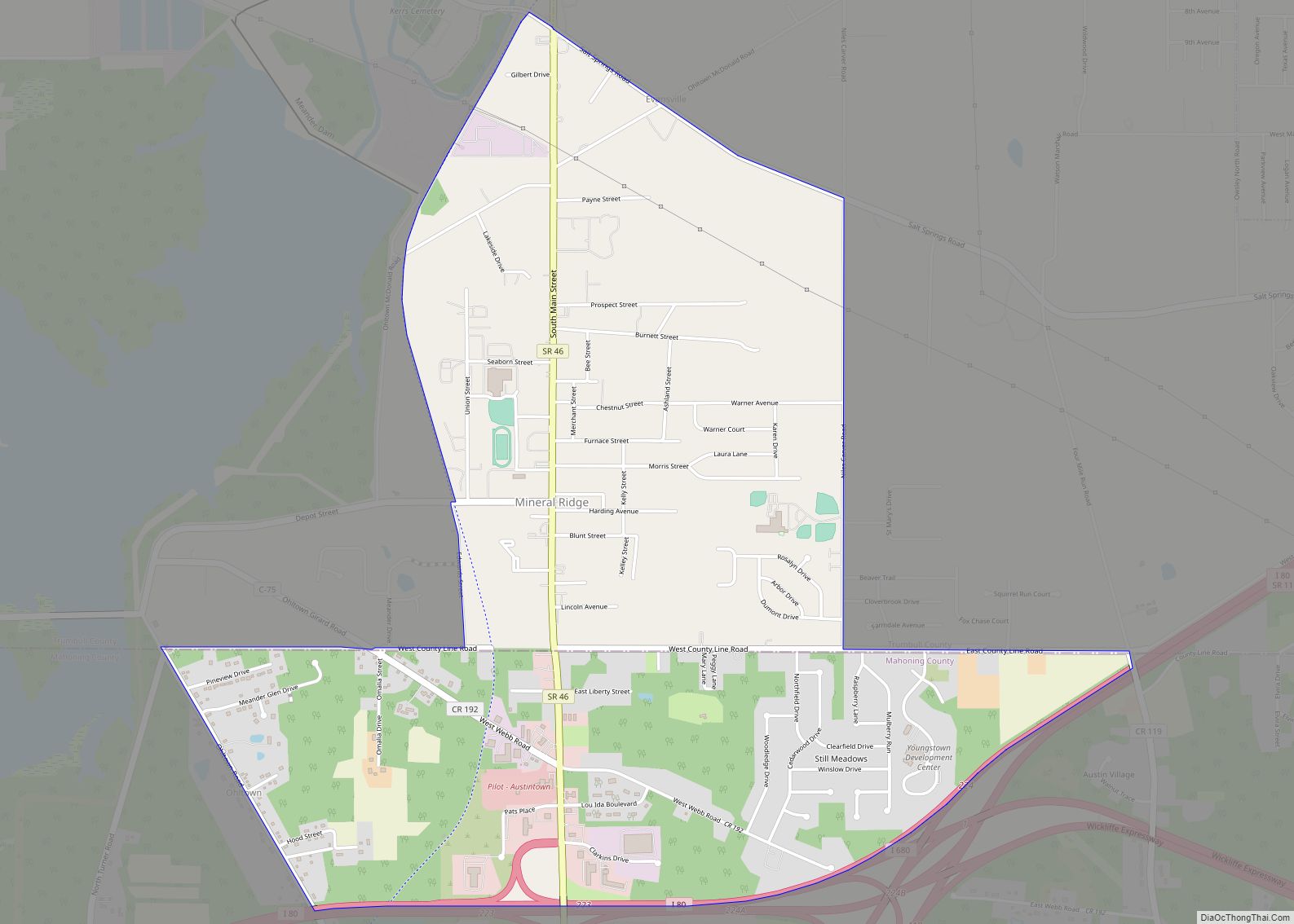
Mineral Ridge is an unincorporated community and census-designated place in southern Trumbull and northern Mahoning counties in the U.S. state of Ohio. The population was 3,951 at the 2020 census. It is a suburb of the Youngstown–Warren metropolitan area. Mineral Ridge was named for valuable coal deposits near the original town site. Mineral Ridge CDP ... Read more
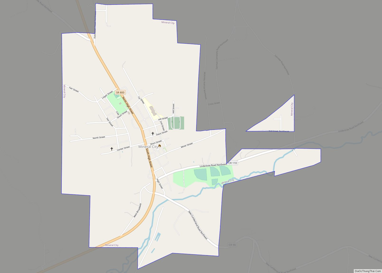
Mineral City is a village in Tuscarawas County, Ohio, United States. The population was 727 at the 2010 census. Mineral City village overview: Name: Mineral City village LSAD Code: 47 LSAD Description: village (suffix) State: Ohio County: Tuscarawas County Elevation: 945 ft (288 m) Total Area: 0.70 sq mi (1.82 km²) Land Area: 0.70 sq mi (1.82 km²) Water Area: 0.00 sq mi (0.00 km²) Total ... Read more
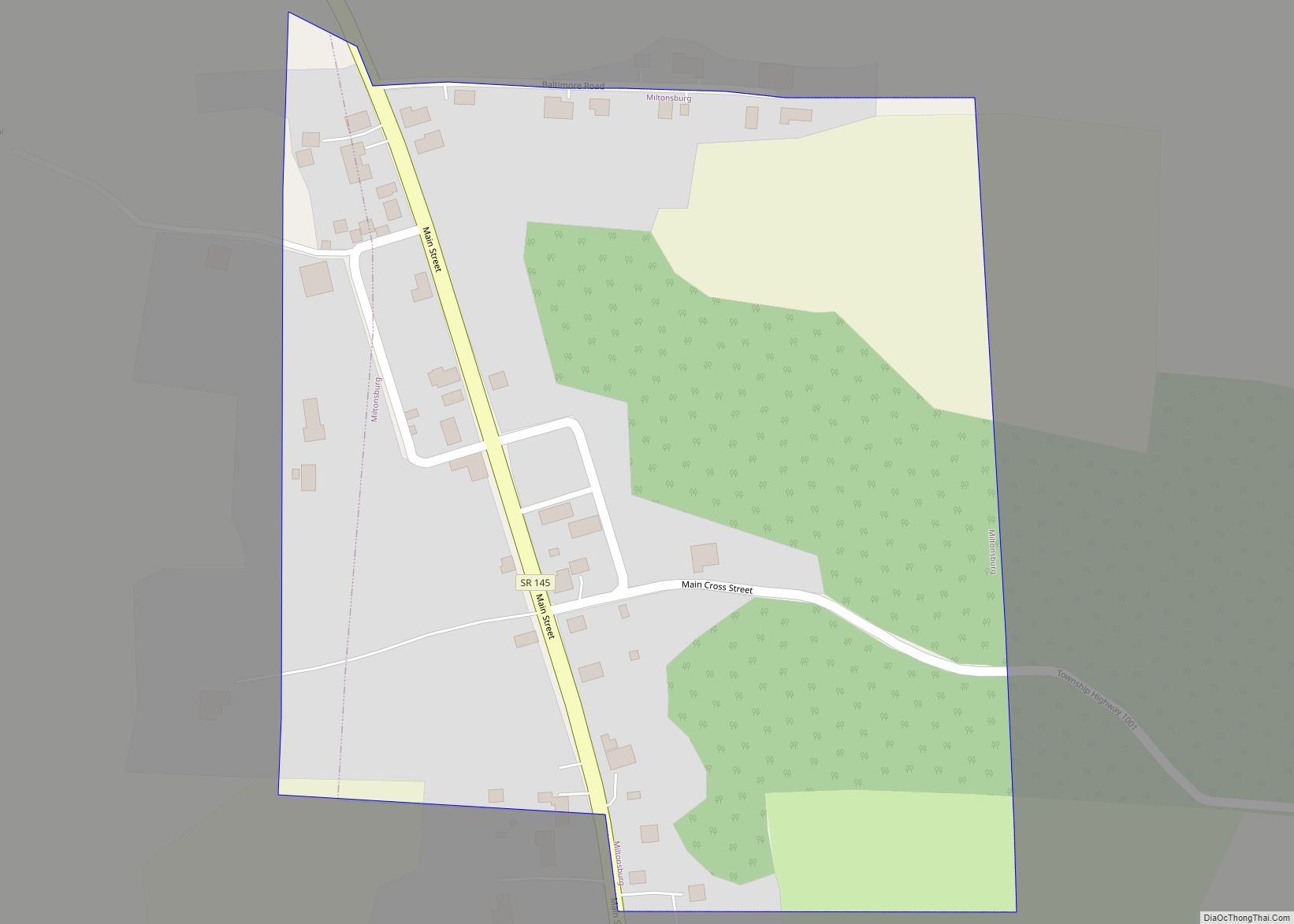
Miltonsburg is a village in Monroe County, Ohio, United States. The population was 42 at the 2020 census. Miltonsburg was named after Milton Pierson, son of Ohio pioneer David Pierson. David Pierson named Clarington, Ohio after his daughter Clarinda. Miltonsburg village overview: Name: Miltonsburg village LSAD Code: 47 LSAD Description: village (suffix) State: Ohio County: ... Read more
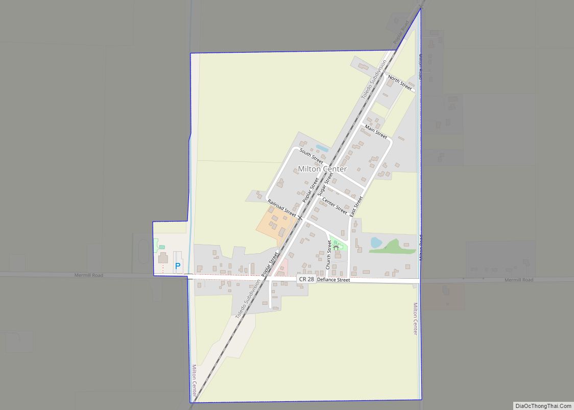
Milton Center is a village in Wood County, Ohio, United States. The population was 144 at the 2010 census. Milton Center village overview: Name: Milton Center village LSAD Code: 47 LSAD Description: village (suffix) State: Ohio County: Wood County Elevation: 689 ft (210 m) Total Area: 0.40 sq mi (1.03 km²) Land Area: 0.40 sq mi (1.03 km²) Water Area: 0.00 sq mi (0.00 km²) Total ... Read more
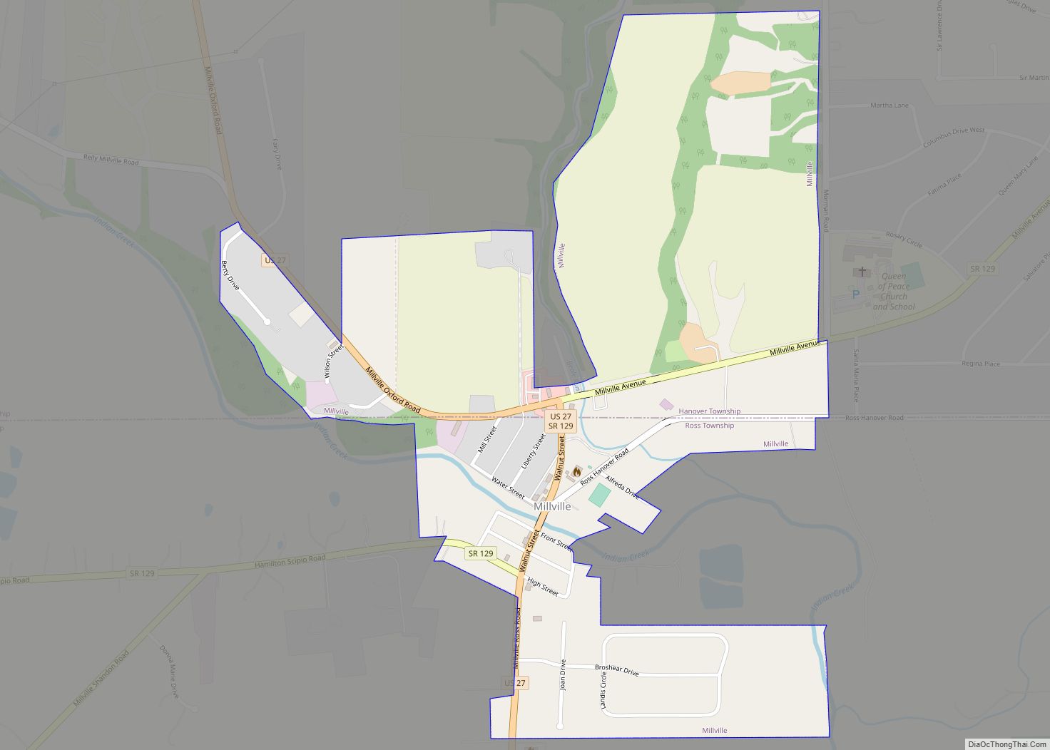
Millville is a village in Butler County, Ohio, United States. The population was 634 at the 2020 census. Millville sits between Oxford, Ohio and Cincinnati, Ohio along U.S. Route 27. Millville is part of Greater Cincinnati, just west of Hamilton, Ohio. Millville village overview: Name: Millville village LSAD Code: 47 LSAD Description: village (suffix) State: ... Read more
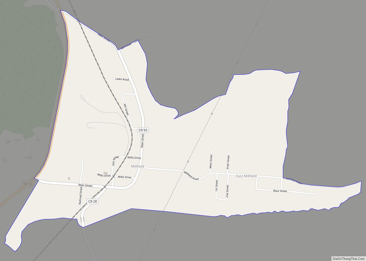
Millfield is a census-designated place in northern Dover Township, Athens County, Ohio, United States. It had a population of 311 at the 2020 census. It has a post office with the ZIP code 45761. It is located near State Route 13 midway between Chauncey and Jacksonville. Route 13 formerly ran through the community, but a ... Read more
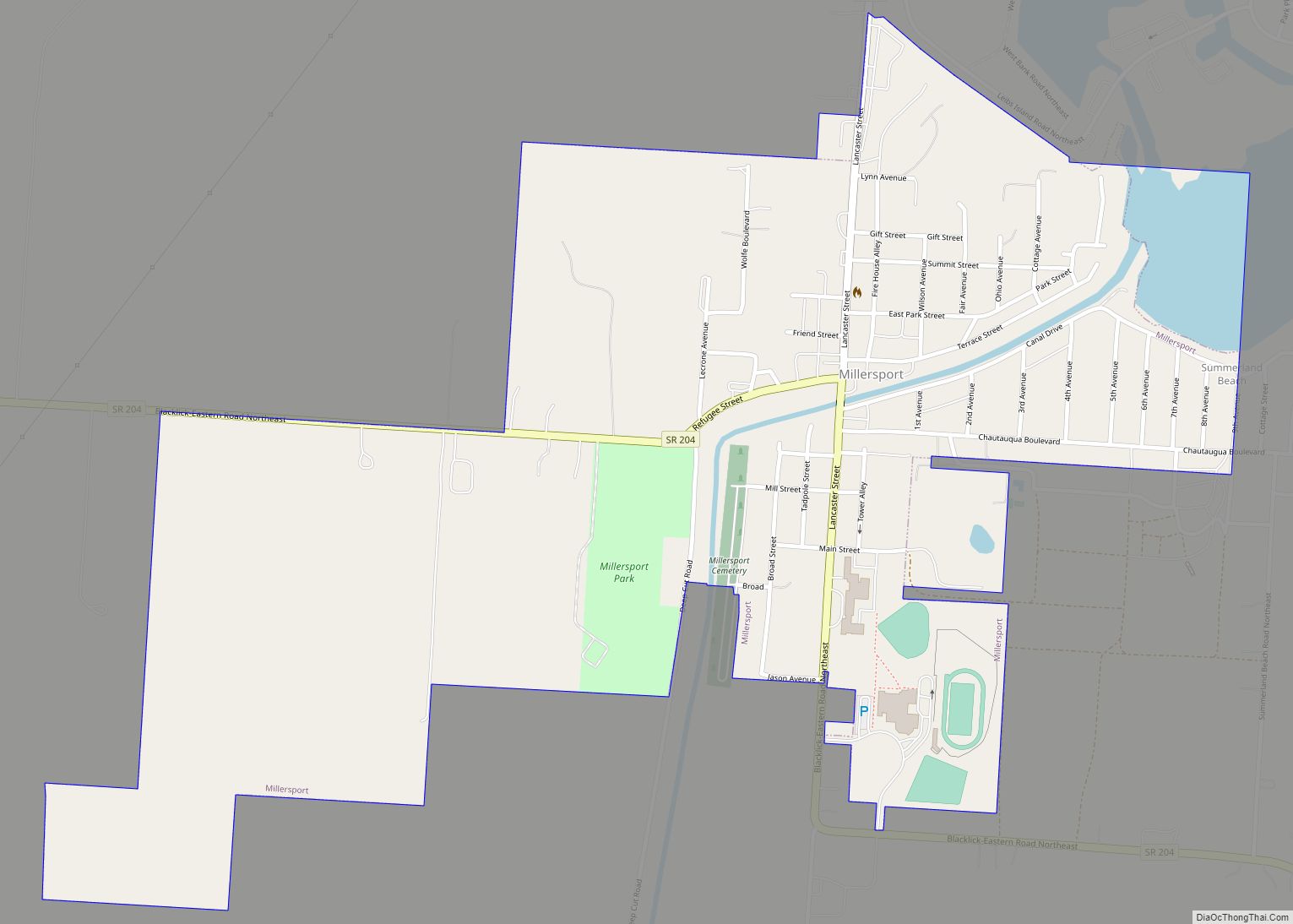
Millersport is a village in Fairfield County, Ohio, United States. The population was 1,044 at the 2010 census. Millersport is most notable as the home of the Sweet Corn Festival, which is held in Millersport annually during the first week of September. Millersport village overview: Name: Millersport village LSAD Code: 47 LSAD Description: village (suffix) ... Read more

