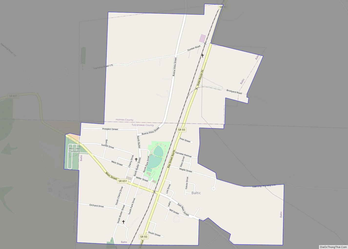
Baltic is a village in Coshocton, Holmes, and Tuscarawas counties in the U.S. state of Ohio. The population was 795 at the 2010 census. The Raber’s Almanac for the Amish community is published here. Baltic is also home to the garage door opener factory of The Genie Company, one of the few companies to manufacture ... Read more
Ohio Cities and Places
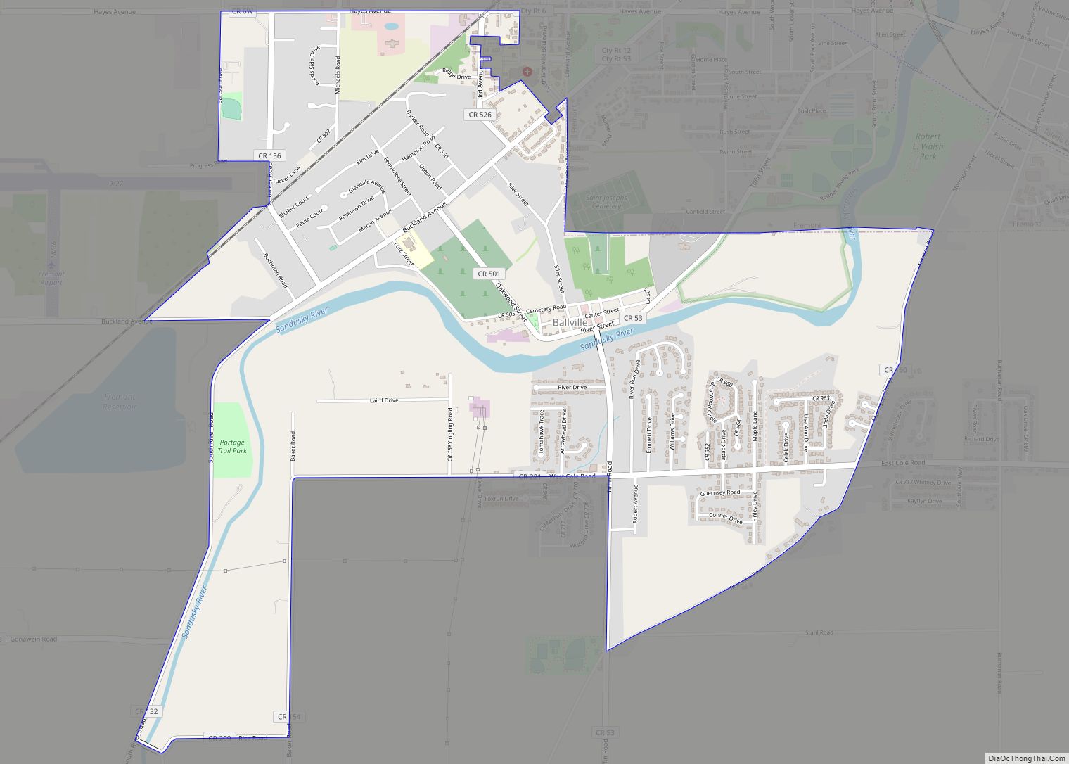
Ballville is a census-designated place (CDP) in Sandusky County, Ohio, United States, adjacent to Fremont. The population was 3,255 at the 2000 census. Ballville CDP overview: Name: Ballville CDP LSAD Code: 57 LSAD Description: CDP (suffix) State: Ohio County: Sandusky County Elevation: 620 ft (189 m) Total Area: 4.73 sq mi (12.25 km²) Land Area: 4.52 sq mi (11.71 km²) Water Area: 0.21 sq mi ... Read more
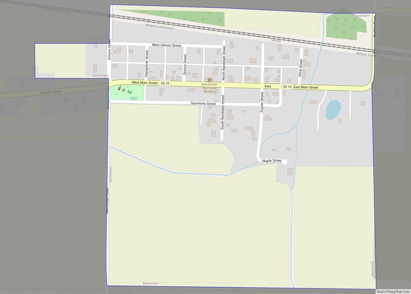
Bairdstown is a village in Wood County, Ohio, United States. The population was 130 at the 2010 census. Bairdstown village overview: Name: Bairdstown village LSAD Code: 47 LSAD Description: village (suffix) State: Ohio County: Wood County Elevation: 735 ft (224 m) Total Area: 0.27 sq mi (0.70 km²) Land Area: 0.27 sq mi (0.70 km²) Water Area: 0.00 sq mi (0.00 km²) Total Population: 115 Population ... Read more
Batavia (/bəˈteɪviə/ bə-TAY-vee-ə) is a village in and the county seat of Clermont County, Ohio, United States. The population was 1,972 at the 2020 census. Batavia village overview: Name: Batavia village LSAD Code: 47 LSAD Description: village (suffix) State: Ohio County: Clermont County Incorporated: February 10, 1842 Elevation: 594 ft (181 m) Total Area: 3.22 sq mi (8.35 km²) Land ... Read more
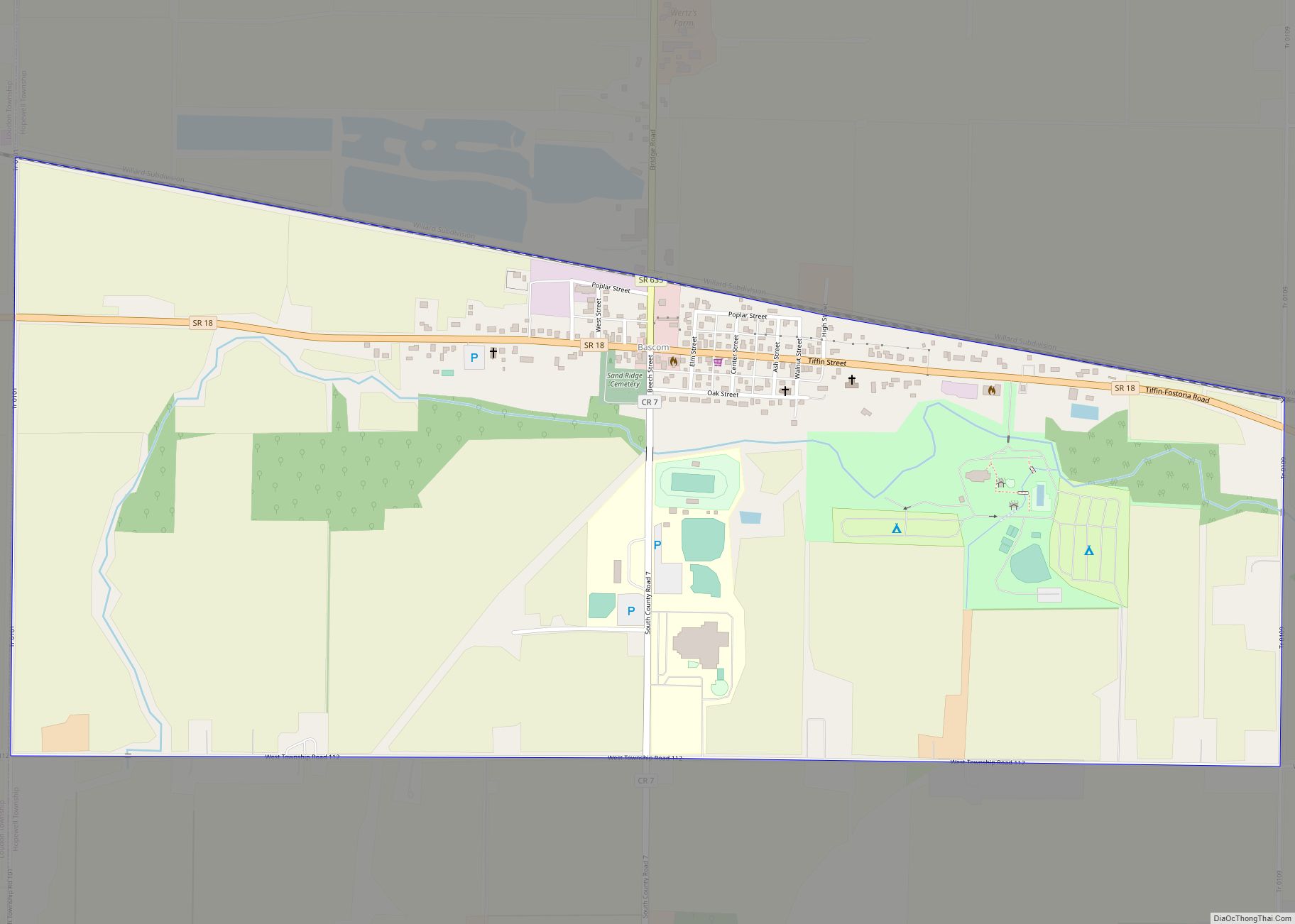
Bascom (/ˈbæskəm/ BAS-kəm) is a census-designated place in western Hopewell Township, Seneca County, Ohio. It has a post office with the ZIP code 44809 and hosts Hopewell-Loudon High School. The community is located at the intersection of State Routes 18 and 635 east of Fostoria. Bascom CDP overview: Name: Bascom CDP LSAD Code: 57 LSAD ... Read more
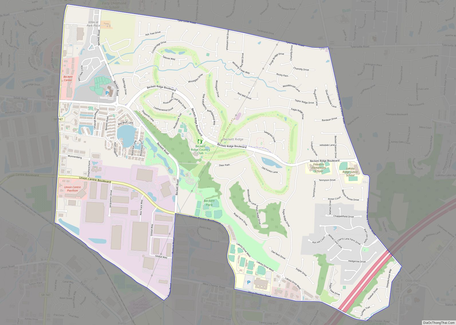
Beckett Ridge is a census-designated place (CDP) in West Chester Township, Butler County, Ohio, United States. The population was 9,187 at the 2010 census. Beckett Ridge CDP overview: Name: Beckett Ridge CDP LSAD Code: 57 LSAD Description: CDP (suffix) State: Ohio County: Butler County Elevation: 817 ft (249 m) Total Area: 4.80 sq mi (12.44 km²) Land Area: 4.80 sq mi (12.44 km²) ... Read more
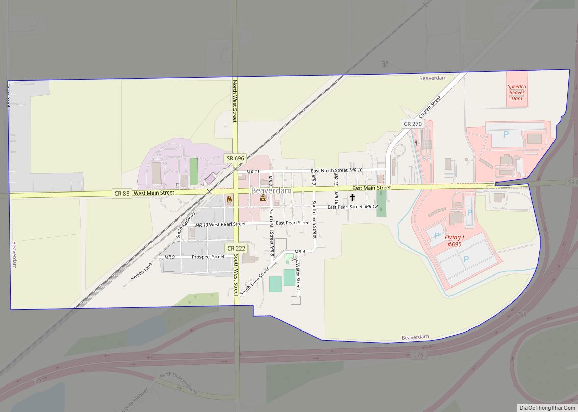
Beaverdam is a village in Richland Township, Allen County, Ohio, United States. Its population was 319 at the 2020 census. Beaverdam is part of the Lima, Ohio Metropolitan Statistical Area. Beaverdam village overview: Name: Beaverdam village LSAD Code: 47 LSAD Description: village (suffix) State: Ohio County: Allen County Elevation: 856 ft (261 m) Total Area: 0.63 sq mi (1.63 km²) ... Read more
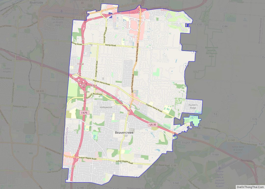
Beavercreek is the largest city in Greene County, Ohio, United States, and is the second-largest suburb of Dayton. The population was 46,549 at the 2020 census. It is part of Metro Dayton. The Beavercreek area was settled in the early 1800s. A part of Beavercreek Township was incorporated and became the City of Beavercreek in ... Read more
Beaver is a village in Pike County, Ohio, United States. The population was 449 at the 2010 census. The village most likely was named after nearby Beaver Creek. Beaver village overview: Name: Beaver village LSAD Code: 47 LSAD Description: village (suffix) State: Ohio County: Pike County Elevation: 686 ft (209 m) Total Area: 0.39 sq mi (1.01 km²) Land Area: ... Read more
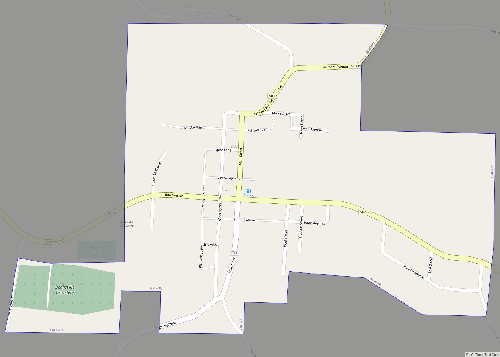
Beallsville (/ˈbɛlzvɪl/ BELLZ-vil) is a village in Monroe County, Ohio, United States. As of the 2020 census, the population was 355. The village gained national attention by losing more than 1% of its population killed in action in the Vietnam War, the worst per-capita loss of life experienced by any place in the country. Two ... Read more
Beachwood is a city in eastern Cuyahoga County, Ohio, United States, and a suburb of Cleveland. As of the 2020 census the city’s population was 14,040. Beachwood city overview: Name: Beachwood city LSAD Code: 25 LSAD Description: city (suffix) State: Ohio County: Cuyahoga County Elevation: 1,184 ft (361 m) Total Area: 5.27 sq mi (13.65 km²) Land Area: 5.26 sq mi (13.63 km²) ... Read more
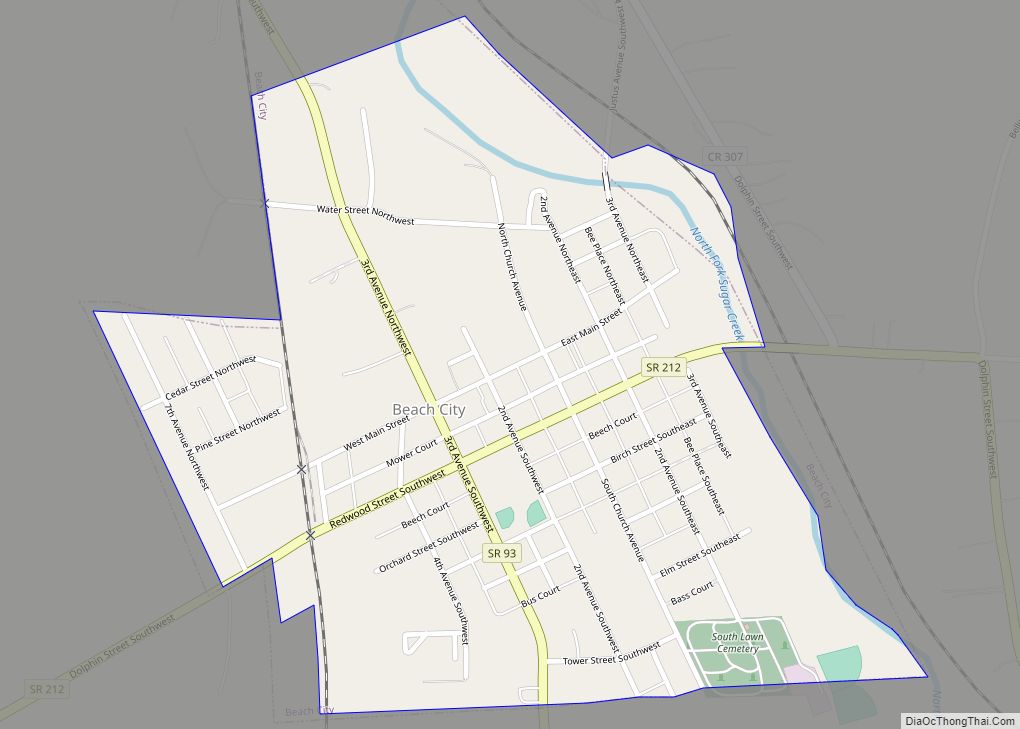
Beach City is a village in Stark County, Ohio, United States. The population was 1,033 at the 2010 census. It is part of the Canton-Massillon, OH Metropolitan Statistical Area. Beach City village overview: Name: Beach City village LSAD Code: 47 LSAD Description: village (suffix) State: Ohio County: Stark County Elevation: 1,001 ft (305 m) Total Area: 0.43 sq mi ... Read more
