Batavia (/bəˈteɪviə/ bə-TAY-vee-ə) is a village in and the county seat of Clermont County, Ohio, United States. The population was 1,972 at the 2020 census.
| Name: | Batavia village |
|---|---|
| LSAD Code: | 47 |
| LSAD Description: | village (suffix) |
| State: | Ohio |
| County: | Clermont County |
| Incorporated: | February 10, 1842 |
| Elevation: | 594 ft (181 m) |
| Total Area: | 3.22 sq mi (8.35 km²) |
| Land Area: | 3.17 sq mi (8.20 km²) |
| Water Area: | 0.06 sq mi (0.15 km²) |
| Total Population: | 1,972 |
| Population Density: | 623.06/sq mi (240.55/km²) |
| ZIP code: | 45103 |
| Area code: | 513 |
| FIPS code: | 3904150 |
| GNISfeature ID: | 1037672 |
| Website: | bataviavillage.org |
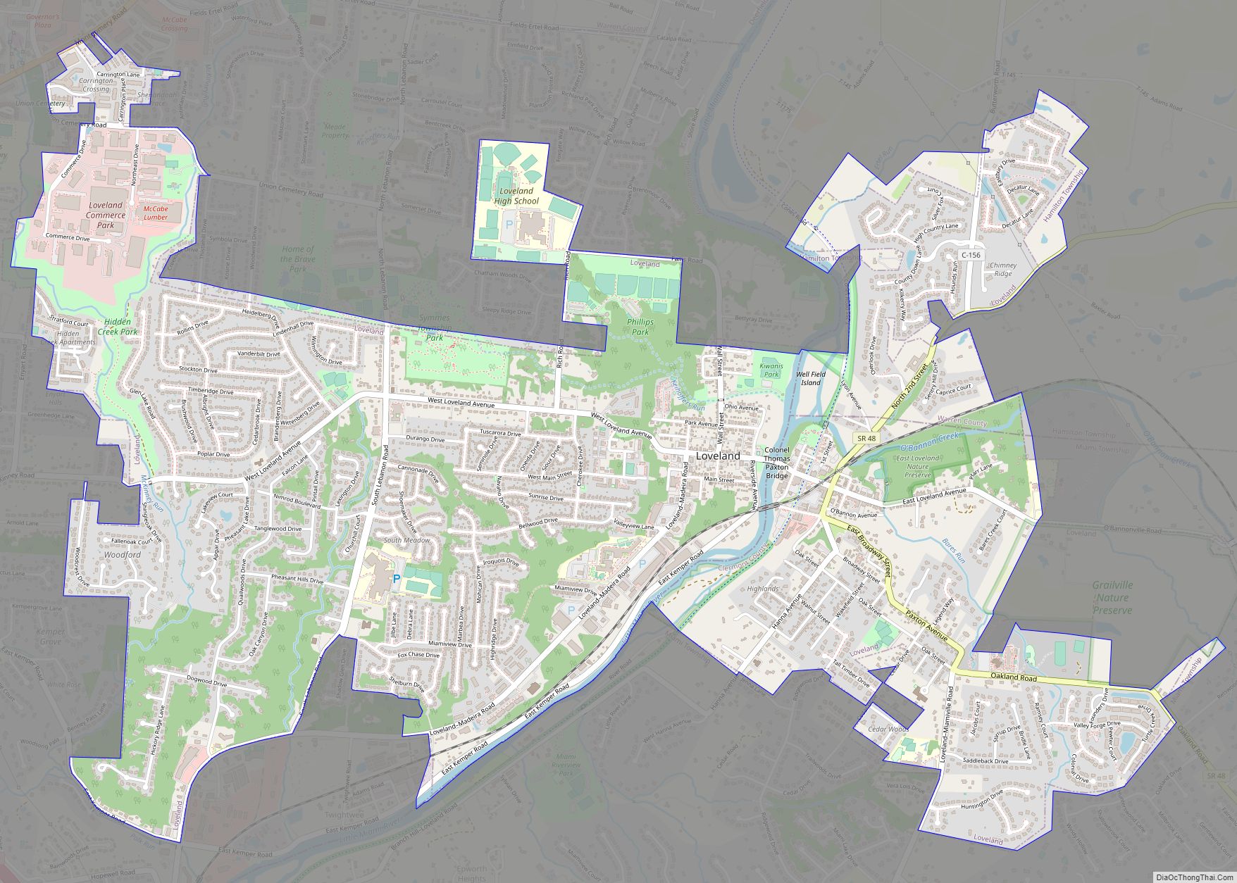
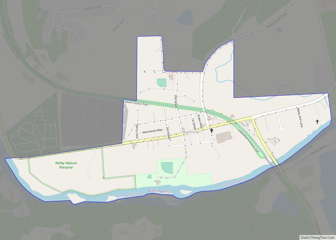
Online Interactive Map
Click on ![]() to view map in "full screen" mode.
to view map in "full screen" mode.
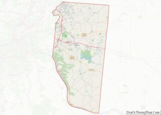
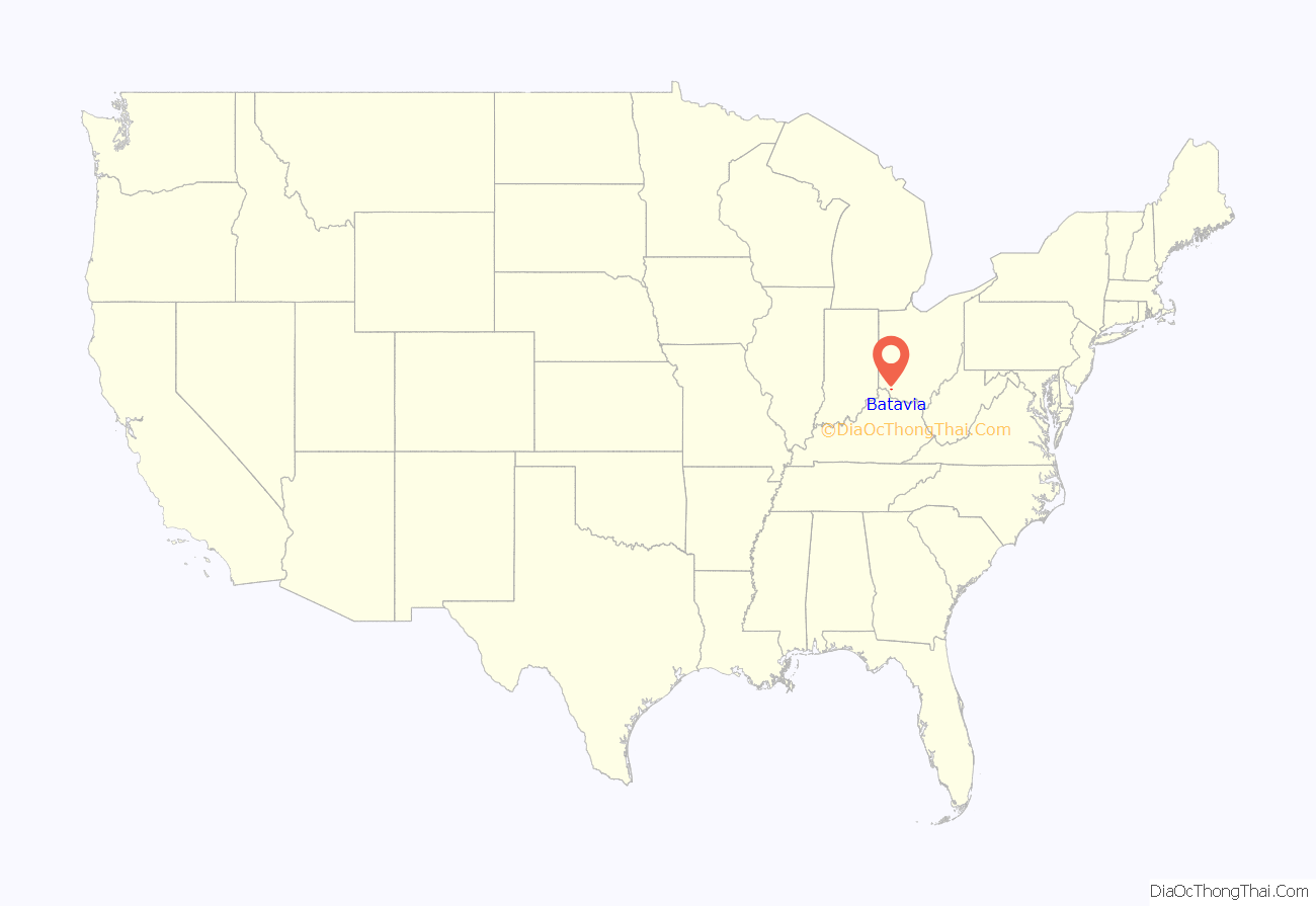
Batavia location map. Where is Batavia village?
History
Batavia was surveyed on May 28, 1788, by Captain Francis Minnis, John O’Bannon, Nicholas Keller, Archelus Price, and John Ormsley. Virginian Ezekiel Dimmitt became the area’s first settler in the fall of 1797. George Ely purchased the Minnis survey in 1807 and platted the town on October 24, 1814, possibly naming it after Batavia, New York. The Clermont County seat moved from New Richmond to Batavia on February 24, 1824. Batavia finally incorporated as a village on February 10, 1842.
The Norfolk and Western Railway stopped at Batavia from March 1877 to April 1971. The Cincinnati, Georgetown and Portsmouth Railroad, an interurban railroad, also ran through town from 1903 to 1934. Norfolk Southern can sometimes roll through Batavia about 3 times a day.
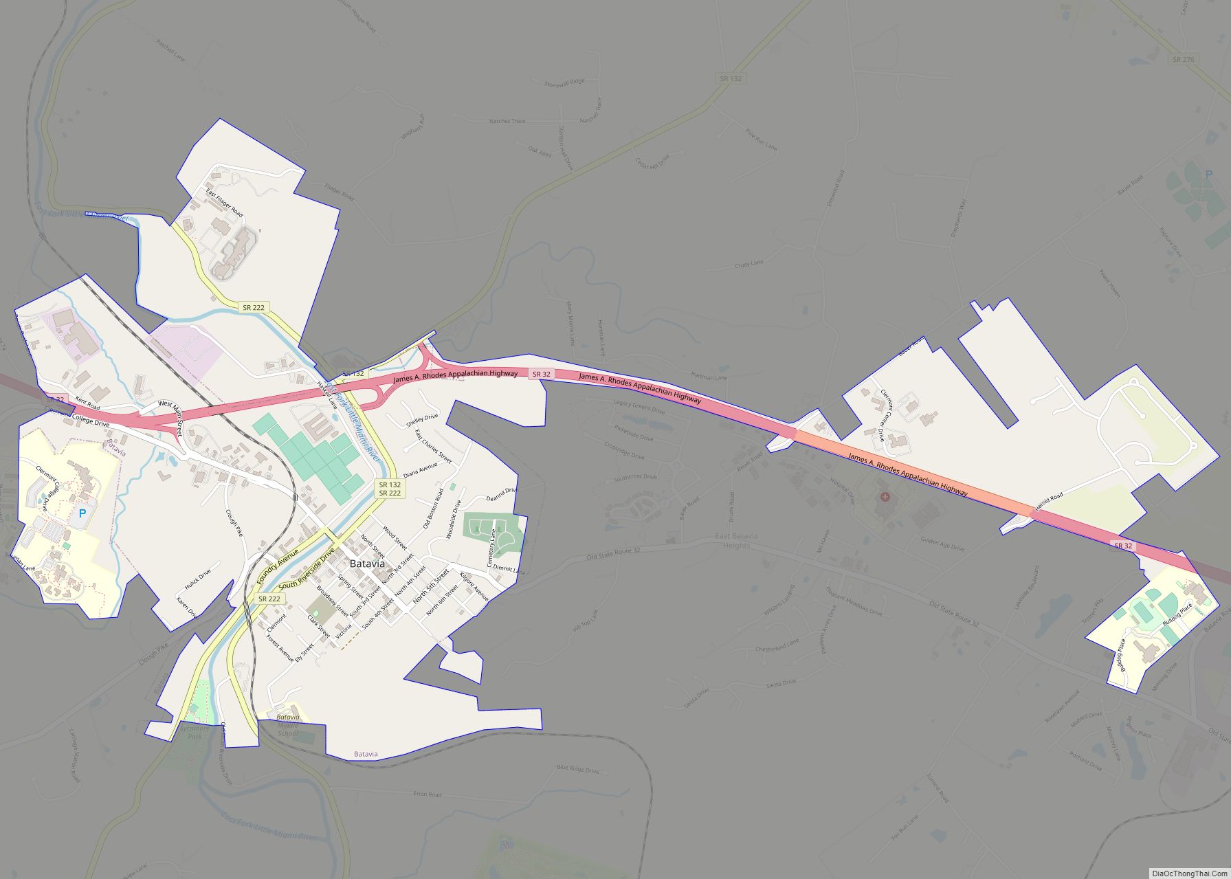
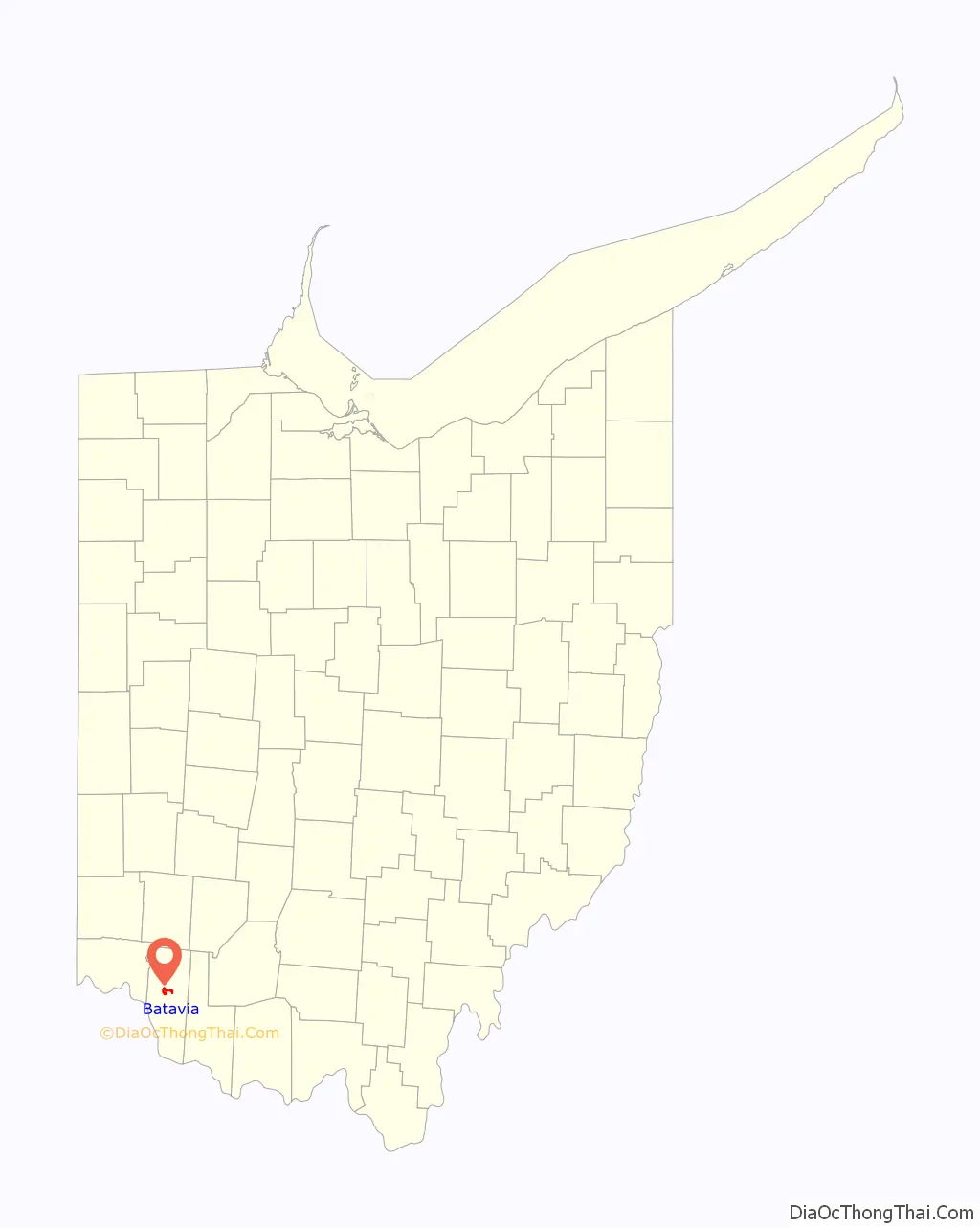
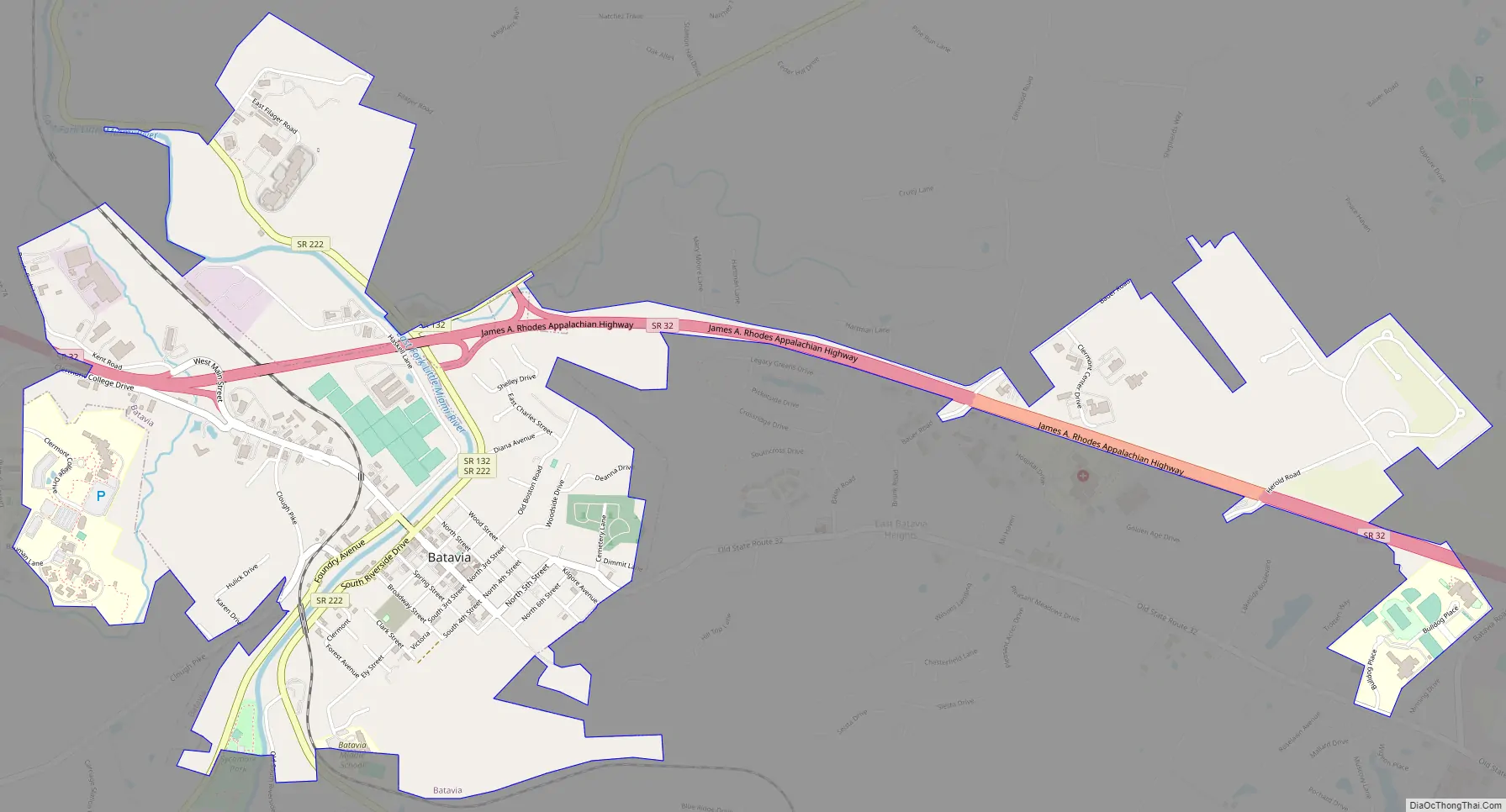
Batavia Road Map
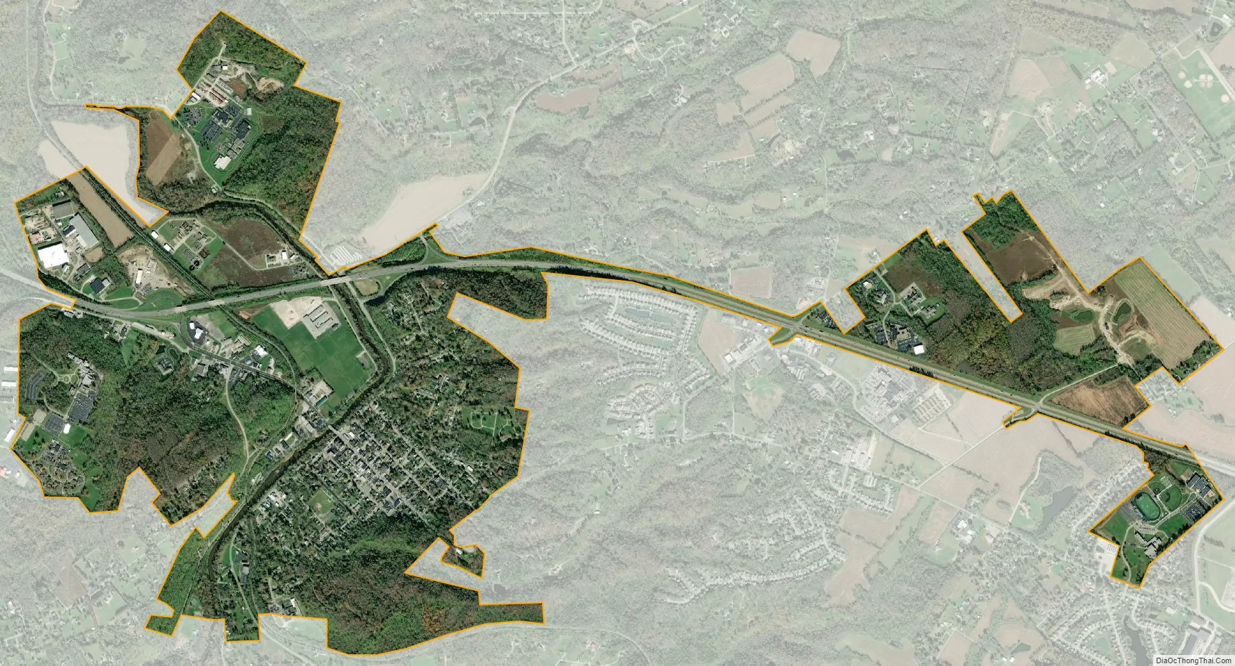
Batavia city Satellite Map
Geography
Batavia is located at 39°4′38″N 84°10′45″W / 39.07722°N 84.17917°W / 39.07722; -84.17917 (39.077332, -84.179160).
According to the United States Census Bureau, the village has a total area of 1.62 square miles (4.20 km), of which 1.59 square miles (4.12 km) is land and 0.03 square miles (0.08 km) is water. It is surrounded by Batavia Township.
See also
Map of Ohio State and its subdivision:- Adams
- Allen
- Ashland
- Ashtabula
- Athens
- Auglaize
- Belmont
- Brown
- Butler
- Carroll
- Champaign
- Clark
- Clermont
- Clinton
- Columbiana
- Coshocton
- Crawford
- Cuyahoga
- Darke
- Defiance
- Delaware
- Erie
- Fairfield
- Fayette
- Franklin
- Fulton
- Gallia
- Geauga
- Greene
- Guernsey
- Hamilton
- Hancock
- Hardin
- Harrison
- Henry
- Highland
- Hocking
- Holmes
- Huron
- Jackson
- Jefferson
- Knox
- Lake
- Lake Erie
- Lawrence
- Licking
- Logan
- Lorain
- Lucas
- Madison
- Mahoning
- Marion
- Medina
- Meigs
- Mercer
- Miami
- Monroe
- Montgomery
- Morgan
- Morrow
- Muskingum
- Noble
- Ottawa
- Paulding
- Perry
- Pickaway
- Pike
- Portage
- Preble
- Putnam
- Richland
- Ross
- Sandusky
- Scioto
- Seneca
- Shelby
- Stark
- Summit
- Trumbull
- Tuscarawas
- Union
- Van Wert
- Vinton
- Warren
- Washington
- Wayne
- Williams
- Wood
- Wyandot
- Alabama
- Alaska
- Arizona
- Arkansas
- California
- Colorado
- Connecticut
- Delaware
- District of Columbia
- Florida
- Georgia
- Hawaii
- Idaho
- Illinois
- Indiana
- Iowa
- Kansas
- Kentucky
- Louisiana
- Maine
- Maryland
- Massachusetts
- Michigan
- Minnesota
- Mississippi
- Missouri
- Montana
- Nebraska
- Nevada
- New Hampshire
- New Jersey
- New Mexico
- New York
- North Carolina
- North Dakota
- Ohio
- Oklahoma
- Oregon
- Pennsylvania
- Rhode Island
- South Carolina
- South Dakota
- Tennessee
- Texas
- Utah
- Vermont
- Virginia
- Washington
- West Virginia
- Wisconsin
- Wyoming