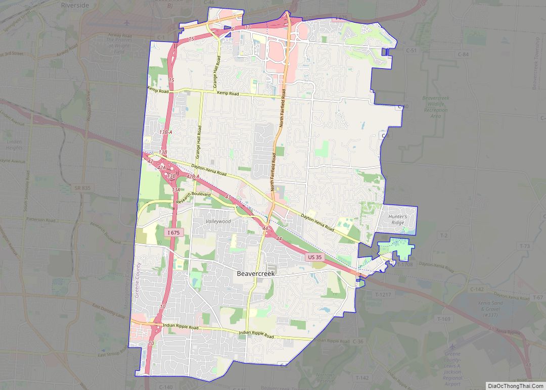
Beavercreek is the largest city in Greene County, Ohio, United States, and is the second-largest suburb of Dayton. The population was 46,549 at the 2020 census. It is part of Metro Dayton. The Beavercreek area was settled in the early 1800s. A part of Beavercreek Township was incorporated and became the City of Beavercreek in February 1980.
Many Beavercreek residents work at nearby Wright-Patterson Air Force Base. In terms of number of residents in an incorporated area, Beavercreek is third in the region behind Dayton and Kettering. The city features two golf courses and two shopping malls. In 2007, Beavercreek ranked 84th in Money’s Top 100 places to live.
| Name: | Beavercreek city |
|---|---|
| LSAD Code: | 25 |
| LSAD Description: | city (suffix) |
| State: | Ohio |
| County: | Greene County |
| Incorporated: | 1980 |
| Elevation: | 873 ft (266 m) |
| Total Area: | 26.63 sq mi (68.96 km²) |
| Land Area: | 26.59 sq mi (68.88 km²) |
| Water Area: | 0.03 sq mi (0.08 km²) |
| Total Population: | 46,549 |
| Population Density: | 1,750.36/sq mi (675.83/km²) |
| ZIP code: | 45305, 45324, 45430-45434, 45440 |
| FIPS code: | 3904720 |
| GNISfeature ID: | 1048393 |
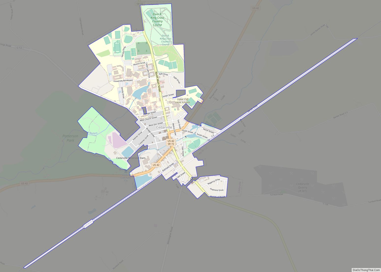
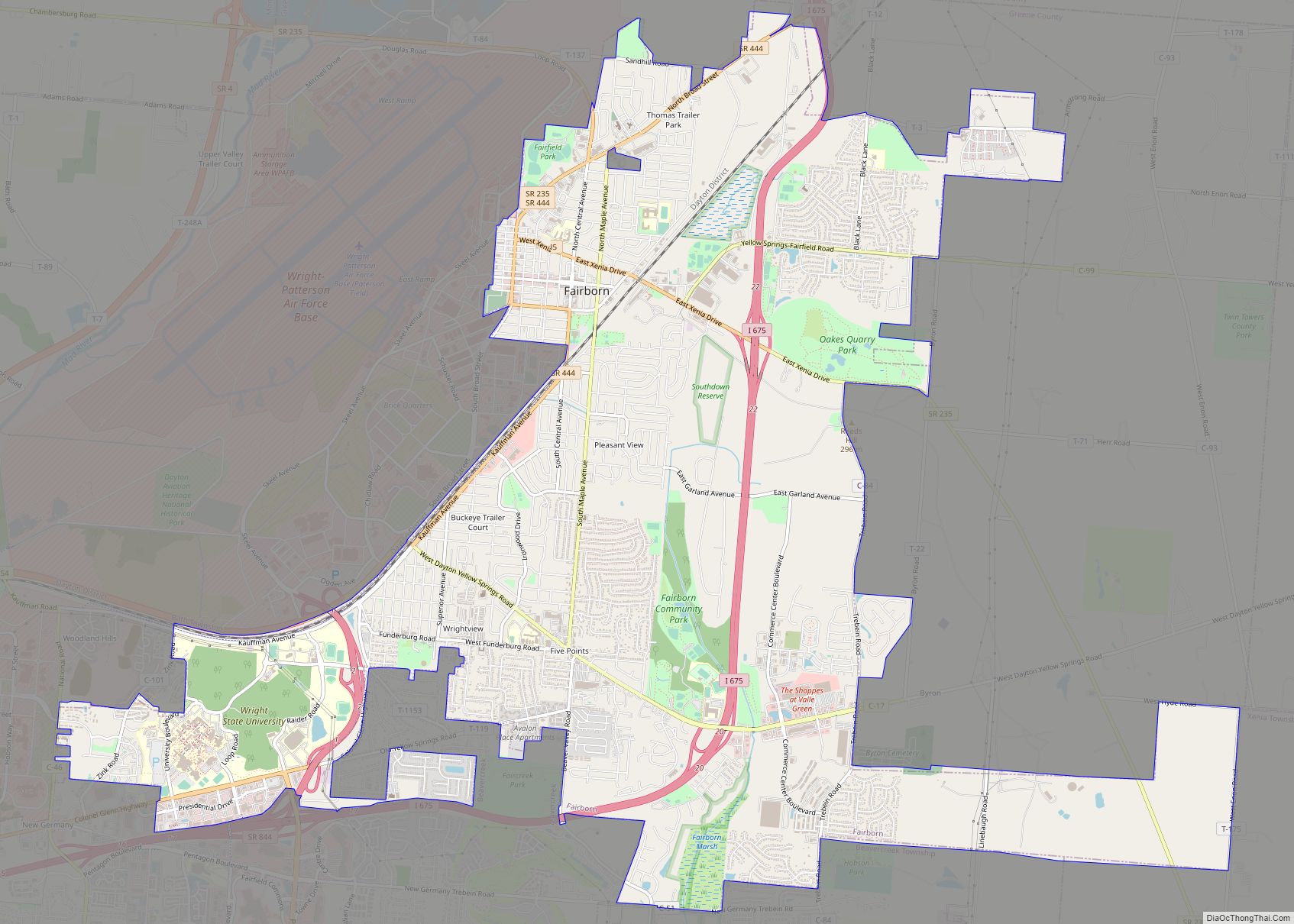
Online Interactive Map
Click on ![]() to view map in "full screen" mode.
to view map in "full screen" mode.
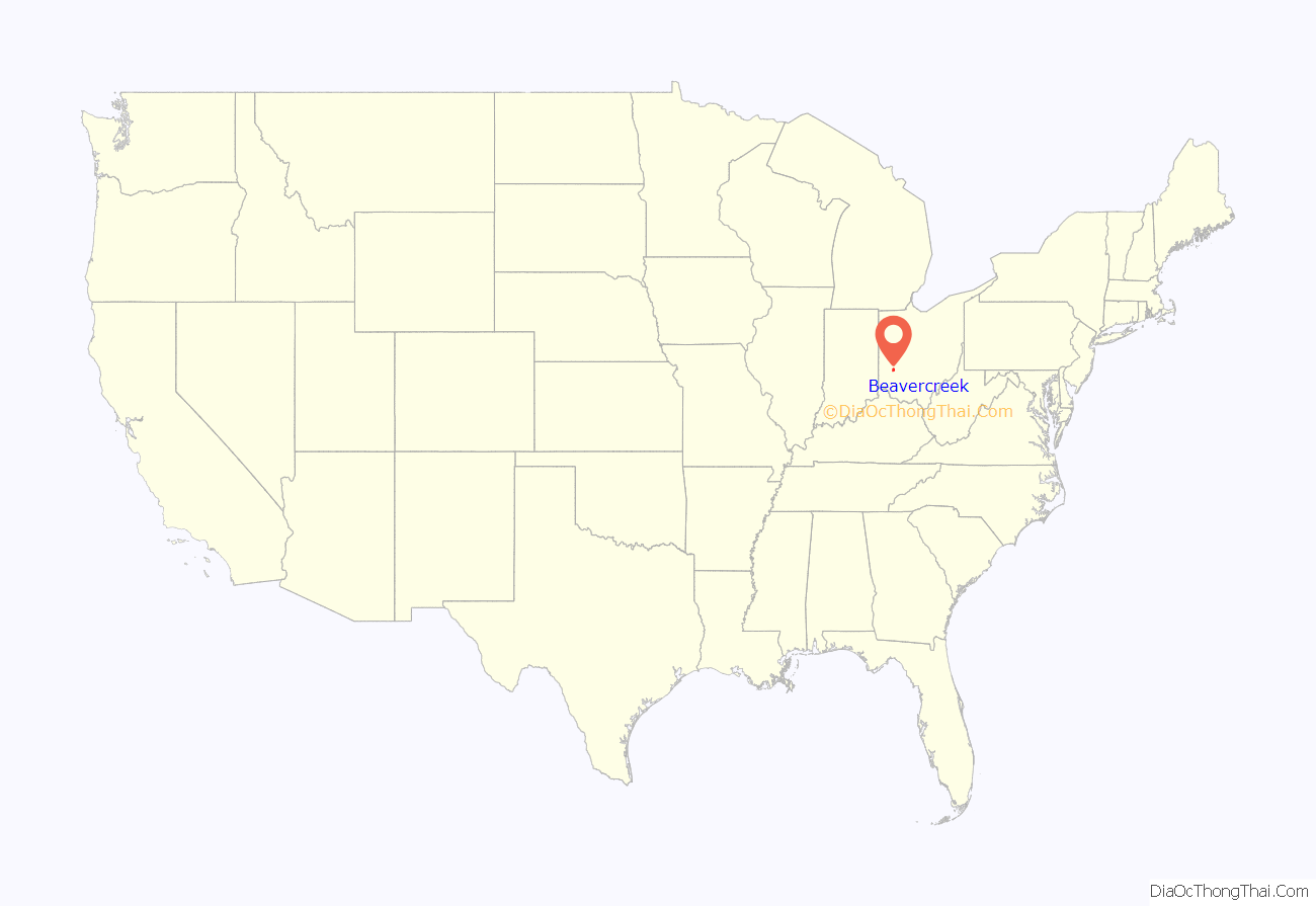
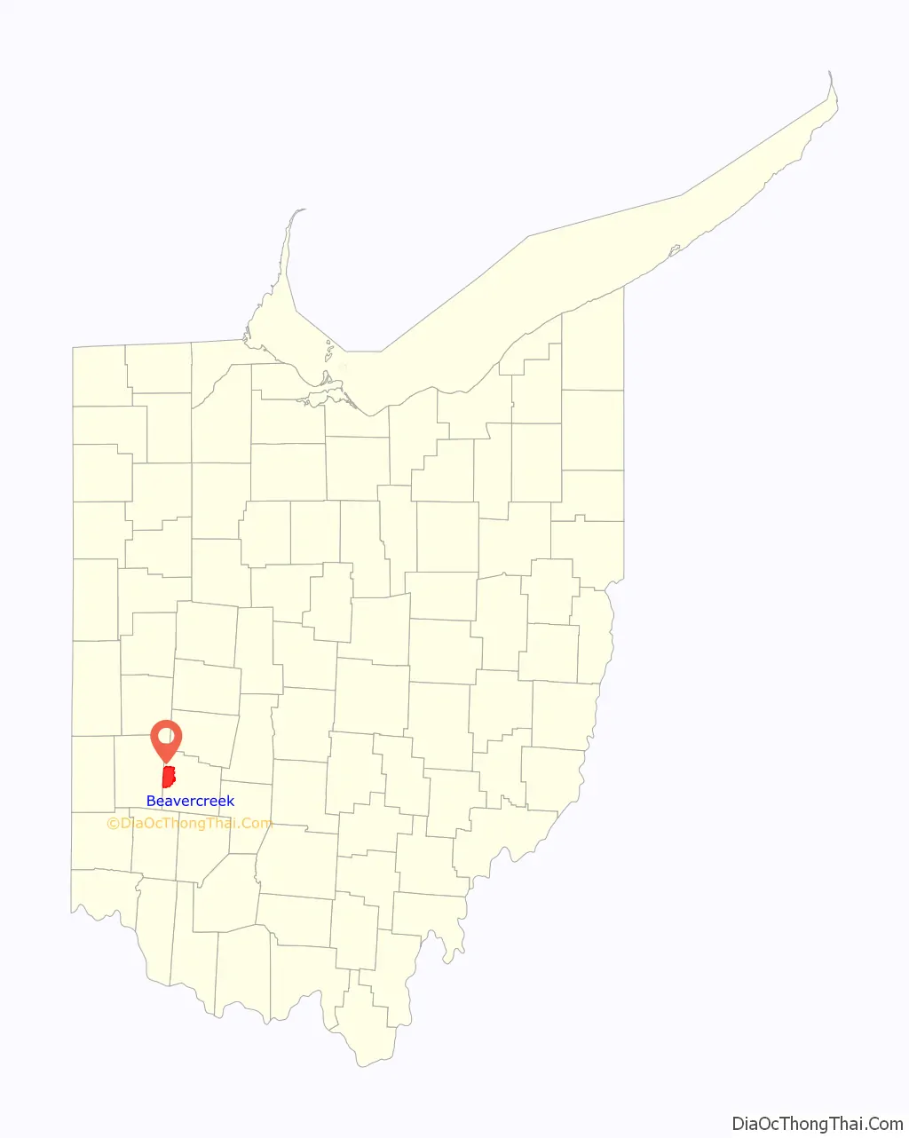
Beavercreek location map. Where is Beavercreek city?
Beavercreek Road Map
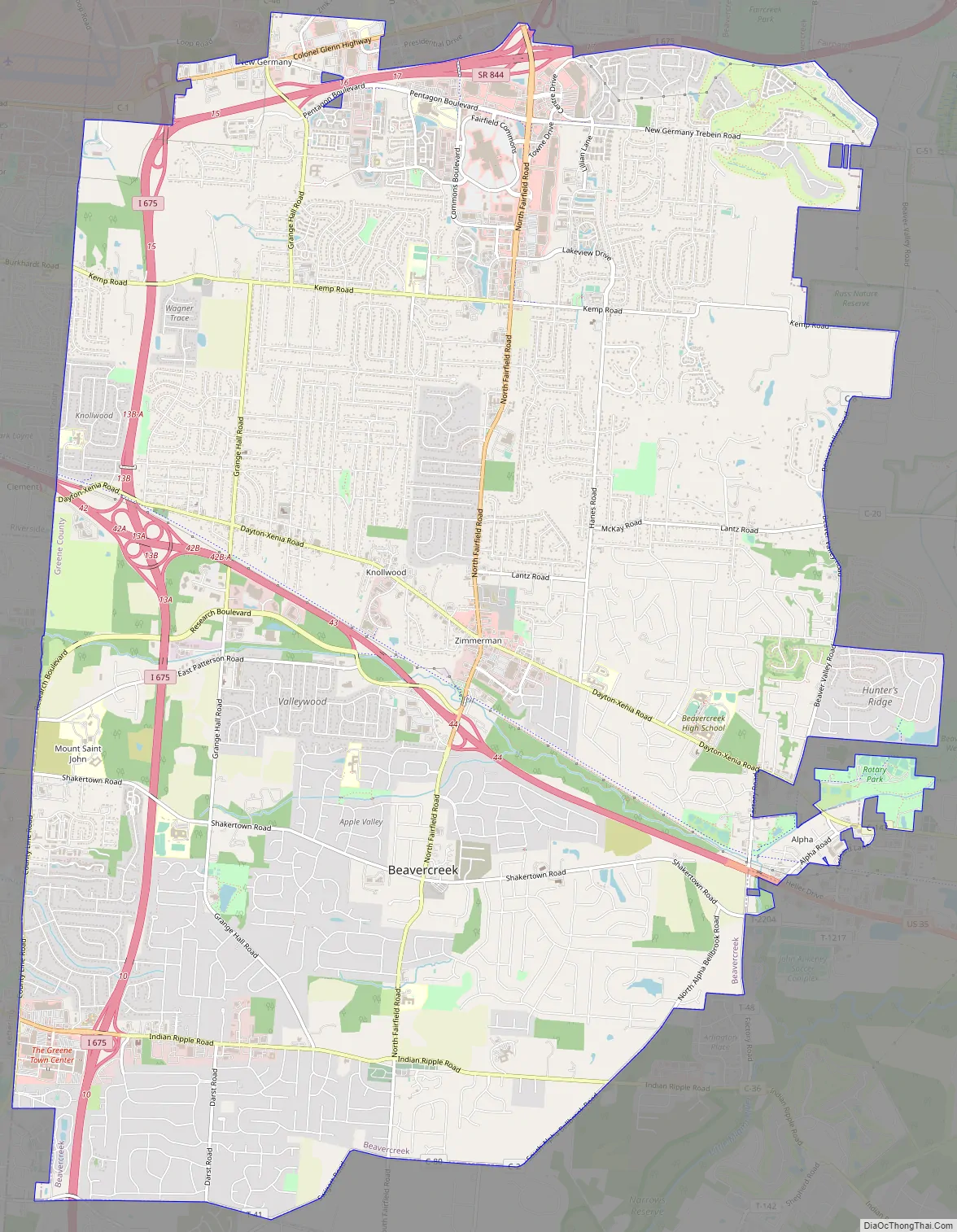
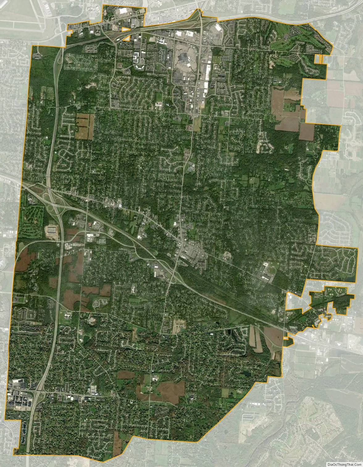
Beavercreek city Satellite Map
Geography
Beavercreek is at 39°43′46″N 84°3′44″W / 39.72944°N 84.06222°W / 39.72944; -84.06222 (39.729359, -84.062310), approximately five miles east of downtown Dayton.
According to the 2010 census, the city has a total area of 26.44 square miles (68.5 km), of which 26.40 square miles (68.4 km) (or 99.85%) is land and 0.04 square miles (0.10 km) (or 0.15%) is water.
Beavercreek includes the former unincorporated communities of Alpha, Knollwood, most of New Germany, and Zimmerman.
See also
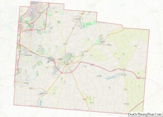
Map of Ohio State and its subdivision:- Adams
- Allen
- Ashland
- Ashtabula
- Athens
- Auglaize
- Belmont
- Brown
- Butler
- Carroll
- Champaign
- Clark
- Clermont
- Clinton
- Columbiana
- Coshocton
- Crawford
- Cuyahoga
- Darke
- Defiance
- Delaware
- Erie
- Fairfield
- Fayette
- Franklin
- Fulton
- Gallia
- Geauga
- Greene
- Guernsey
- Hamilton
- Hancock
- Hardin
- Harrison
- Henry
- Highland
- Hocking
- Holmes
- Huron
- Jackson
- Jefferson
- Knox
- Lake
- Lake Erie
- Lawrence
- Licking
- Logan
- Lorain
- Lucas
- Madison
- Mahoning
- Marion
- Medina
- Meigs
- Mercer
- Miami
- Monroe
- Montgomery
- Morgan
- Morrow
- Muskingum
- Noble
- Ottawa
- Paulding
- Perry
- Pickaway
- Pike
- Portage
- Preble
- Putnam
- Richland
- Ross
- Sandusky
- Scioto
- Seneca
- Shelby
- Stark
- Summit
- Trumbull
- Tuscarawas
- Union
- Van Wert
- Vinton
- Warren
- Washington
- Wayne
- Williams
- Wood
- Wyandot
- Alabama
- Alaska
- Arizona
- Arkansas
- California
- Colorado
- Connecticut
- Delaware
- District of Columbia
- Florida
- Georgia
- Hawaii
- Idaho
- Illinois
- Indiana
- Iowa
- Kansas
- Kentucky
- Louisiana
- Maine
- Maryland
- Massachusetts
- Michigan
- Minnesota
- Mississippi
- Missouri
- Montana
- Nebraska
- Nevada
- New Hampshire
- New Jersey
- New Mexico
- New York
- North Carolina
- North Dakota
- Ohio
- Oklahoma
- Oregon
- Pennsylvania
- Rhode Island
- South Carolina
- South Dakota
- Tennessee
- Texas
- Utah
- Vermont
- Virginia
- Washington
- West Virginia
- Wisconsin
- Wyoming