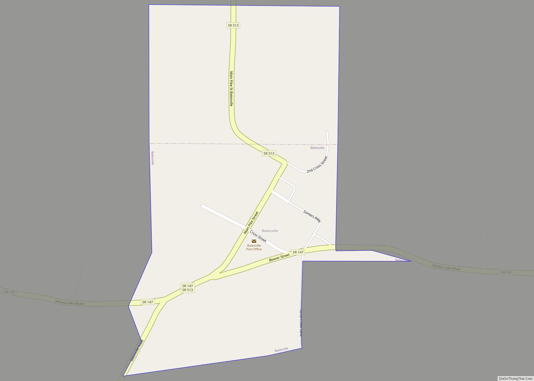
Batesville is a village in Noble County, Ohio, United States. The population was 101 at the 2020 census. Batesville was originally called Williamsburg, and under the latter name was laid out in 1827. Batesville village overview: Name: Batesville village LSAD Code: 47 LSAD Description: village (suffix) State: Ohio County: Noble County Elevation: 909 ft (277 m) Total ... Read more
Ohio Cities and Places
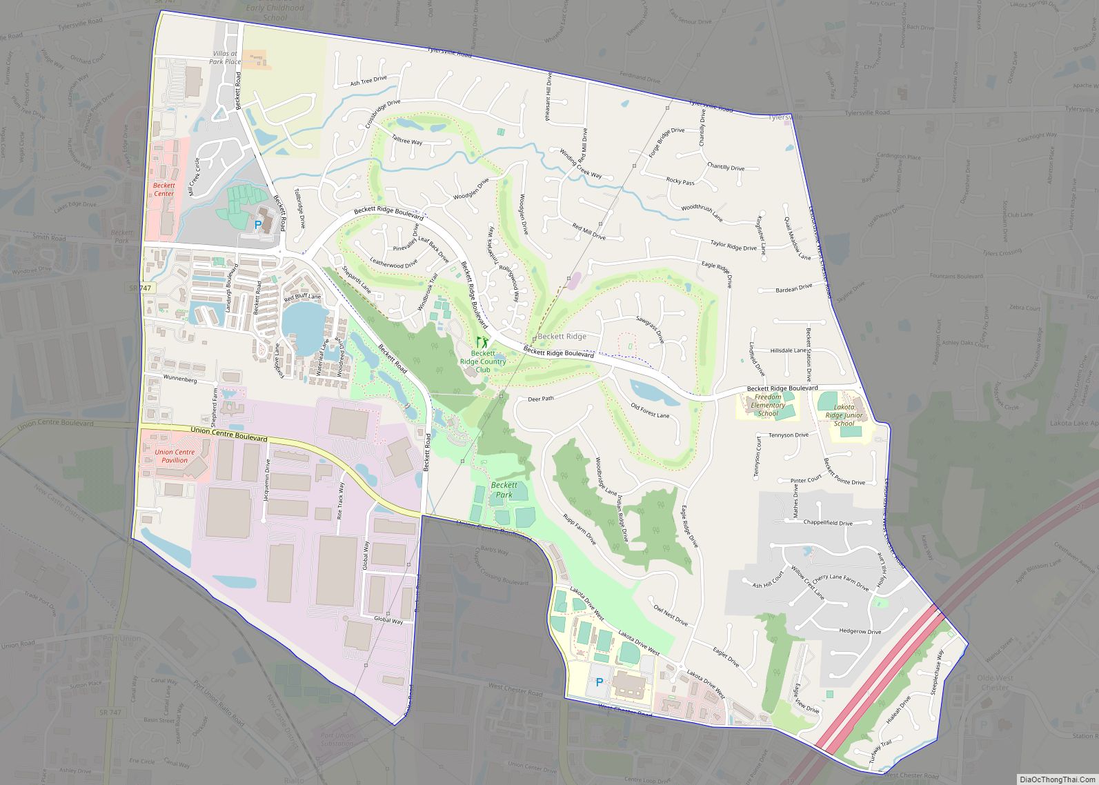
Beckett Ridge is a census-designated place (CDP) in West Chester Township, Butler County, Ohio, United States. The population was 9,187 at the 2010 census. Beckett Ridge CDP overview: Name: Beckett Ridge CDP LSAD Code: 57 LSAD Description: CDP (suffix) State: Ohio County: Butler County Elevation: 817 ft (249 m) Total Area: 4.80 sq mi (12.44 km²) Land Area: 4.80 sq mi (12.44 km²) ... Read more
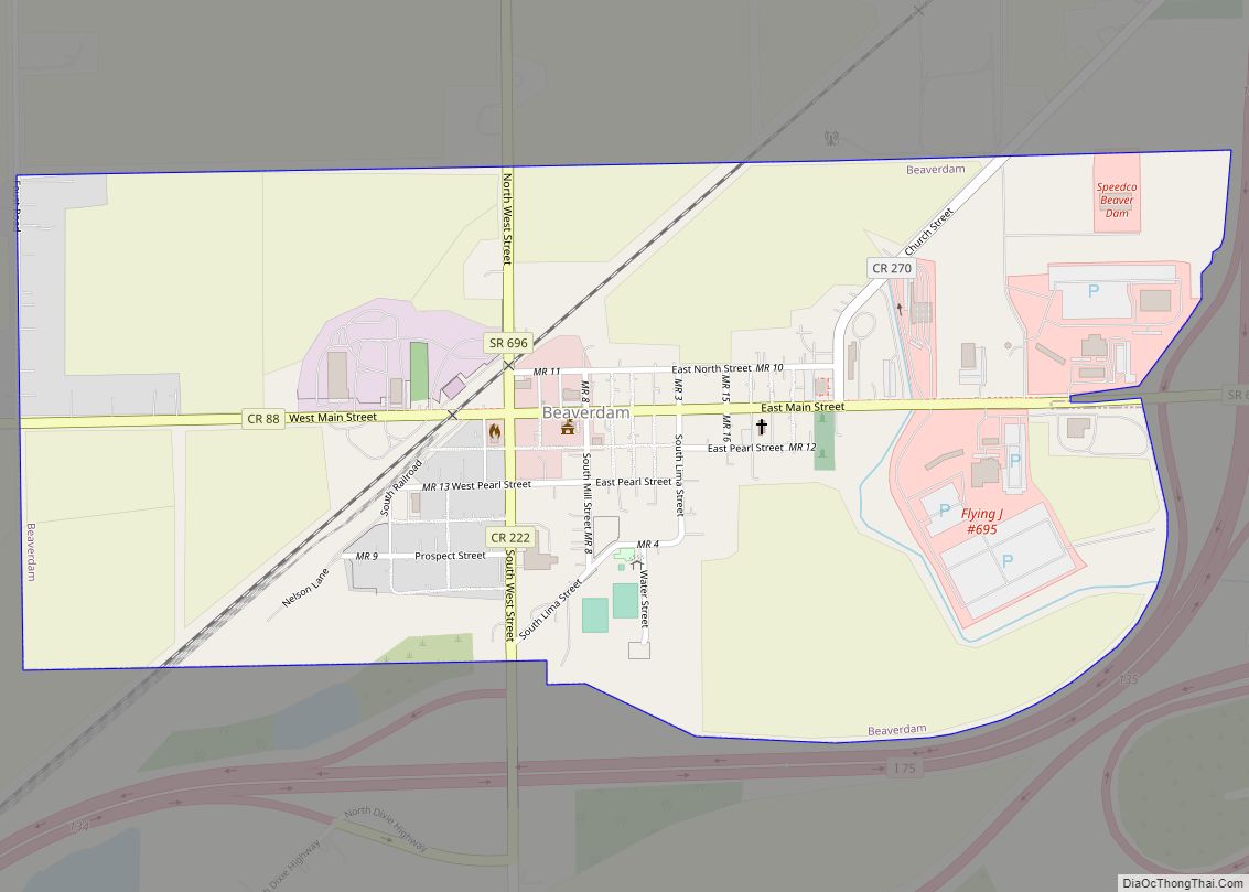
Beaverdam is a village in Richland Township, Allen County, Ohio, United States. Its population was 319 at the 2020 census. Beaverdam is part of the Lima, Ohio Metropolitan Statistical Area. Beaverdam village overview: Name: Beaverdam village LSAD Code: 47 LSAD Description: village (suffix) State: Ohio County: Allen County Elevation: 856 ft (261 m) Total Area: 0.63 sq mi (1.63 km²) ... Read more
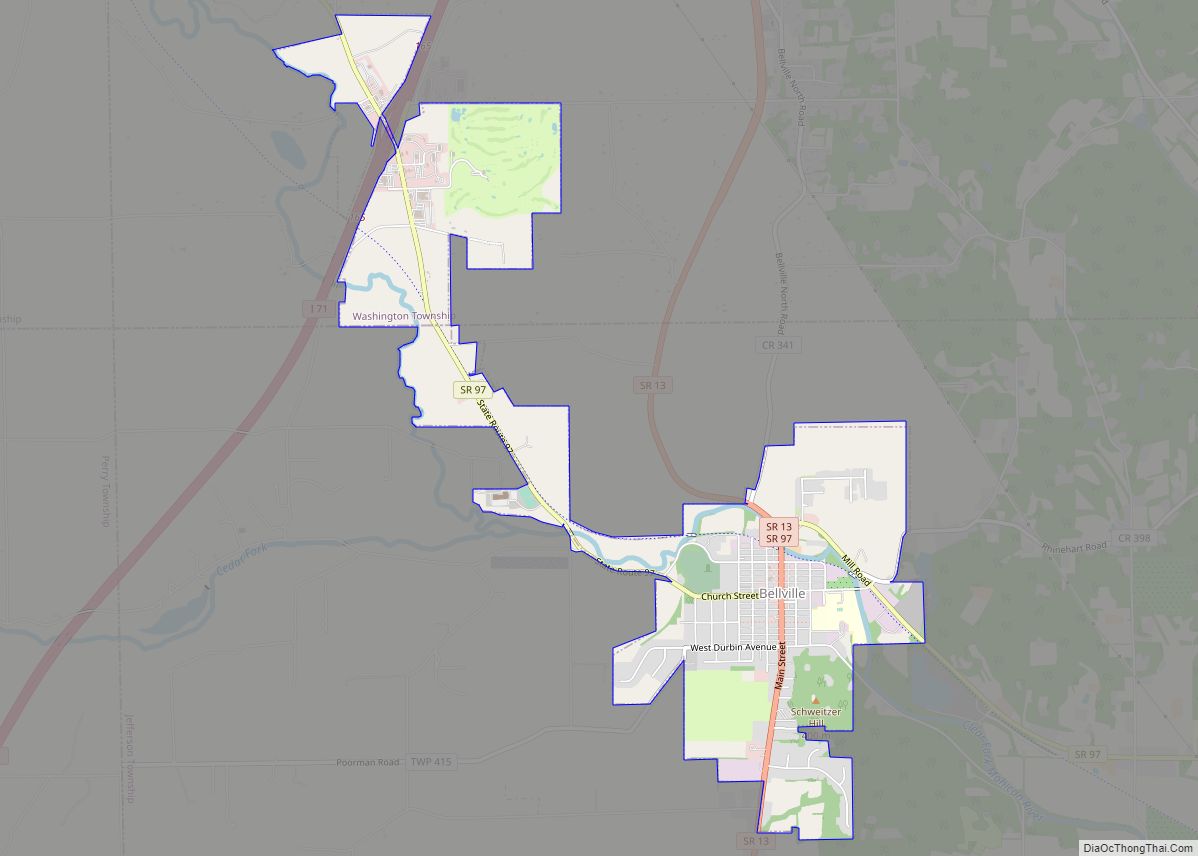
Bellville is a village in Richland County in the U.S. state of Ohio. It is part of the Mansfield, Ohio Metropolitan Statistical Area. The population was 1,918 at the 2010 census. Bellville village overview: Name: Bellville village LSAD Code: 47 LSAD Description: village (suffix) State: Ohio County: Richland County Founded: 1808 Incorporated: 1841 (village) Elevation: ... Read more
Bellevue (/ˈbɛlvjuː/ BEL-vew) is a city in Erie, Huron, Seneca, and Sandusky counties in the U.S. state of Ohio, located 61 miles southwest of Cleveland and 45 miles southeast of Toledo. The population was 8,202 at the 2010 census. The National Arbor Day Foundation has designated Bellevue as a Tree City USA. The Sandusky County ... Read more
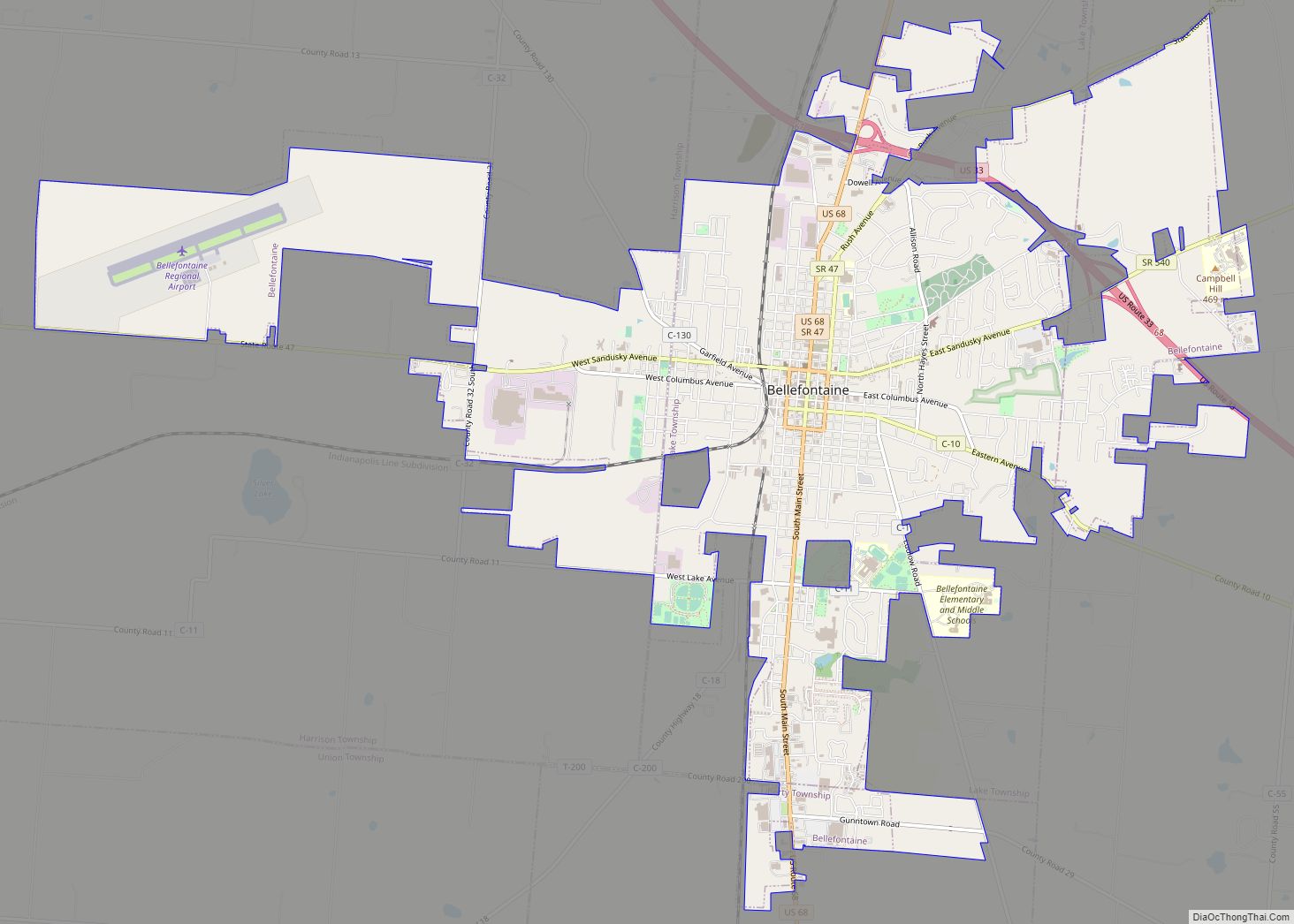
Bellefontaine (/bɛlˈfaʊntən/ bel-FOWN-tən) is a city in and the county seat of Logan County, Ohio, United States, located 48 miles (77 km) northwest of Columbus. The population was 13,370 at the 2010 Census. It is the principal city of the Bellefontaine, OH Micropolitan Statistical Area, which includes all of Logan County. The highest point in Ohio, ... Read more
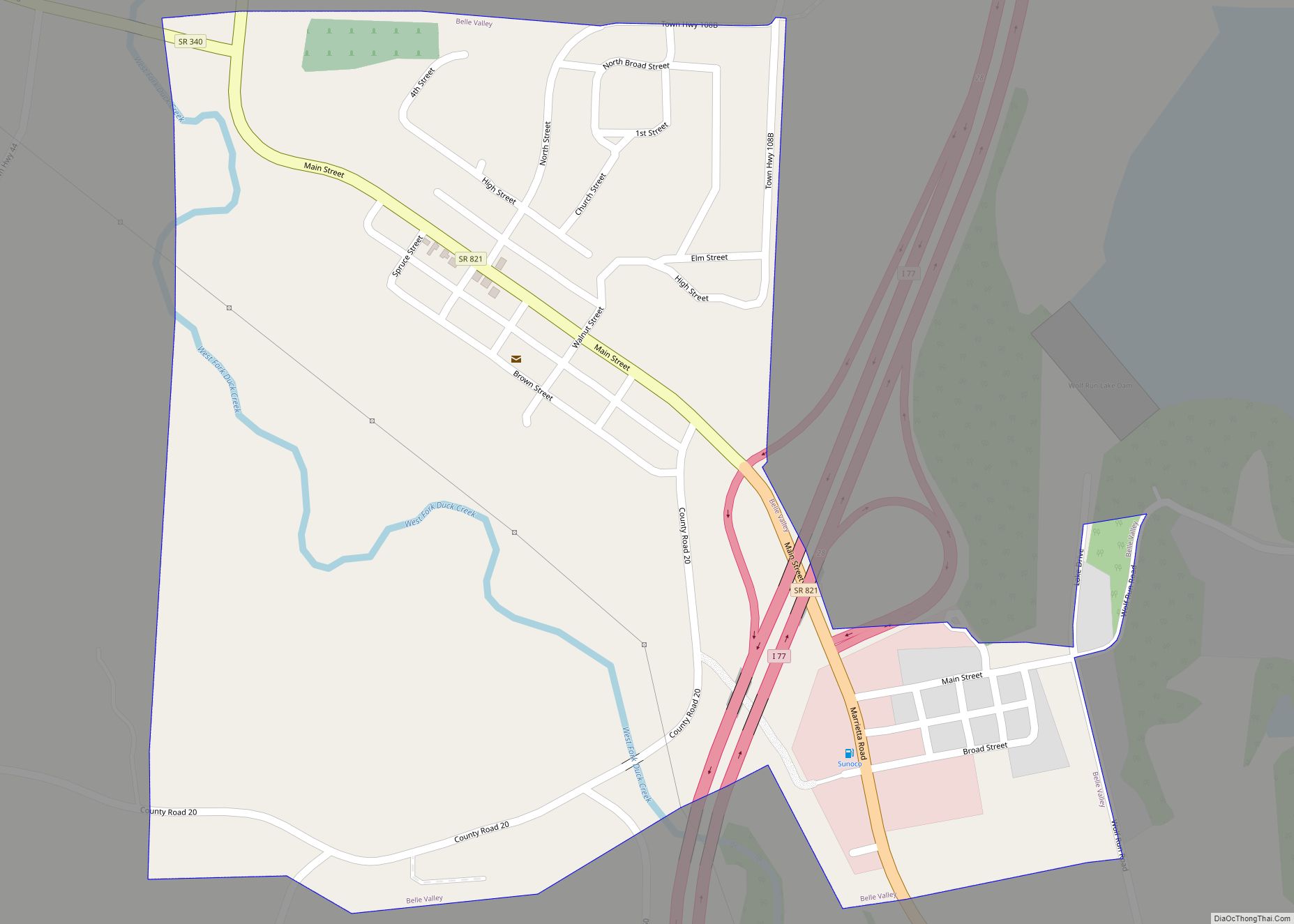
Belle Valley is a village in Noble County, Ohio, United States. The population was 201 at the 2020 census. Belle Valley village overview: Name: Belle Valley village LSAD Code: 47 LSAD Description: village (suffix) State: Ohio County: Noble County Elevation: 745 ft (227 m) Total Area: 0.41 sq mi (1.05 km²) Land Area: 0.41 sq mi (1.05 km²) Water Area: 0.00 sq mi (0.00 km²) Total ... Read more
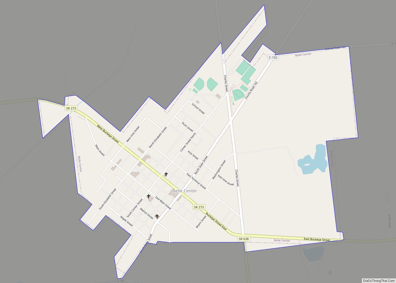
Belle Center is a village in Logan County, Ohio, United States. The population was 813 at the 2010 census. It is a Tree City USA, one of the smallest in the state. Belle Center village overview: Name: Belle Center village LSAD Code: 47 LSAD Description: village (suffix) State: Ohio County: Logan County Elevation: 1,043 ft (318 m) ... Read more
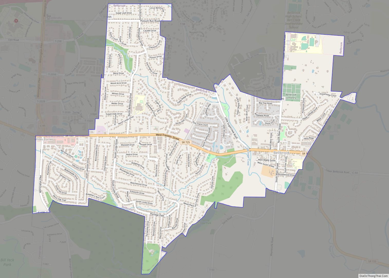
Bellbrook is a city in Greene County, Ohio, United States. The population was 7,317 at the 2020 census. It is part of the Dayton Metropolitan Statistical Area. It sits about 20.5 miles (33.0 km) southeast of Dayton. Bellbrook city overview: Name: Bellbrook city LSAD Code: 25 LSAD Description: city (suffix) State: Ohio County: Greene County Elevation: ... Read more
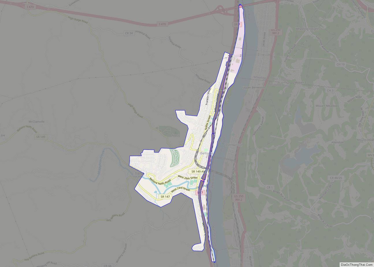
Bellaire is a village in Belmont County, Ohio, United States, along the Ohio River. The population was 3,870 at the 2020 census, having had its peak in 1920. It is part of the Wheeling metropolitan area. The Bellaire Bridge (now abandoned and closed) was filmed in the 1991 motion picture The Silence of the Lambs. ... Read more
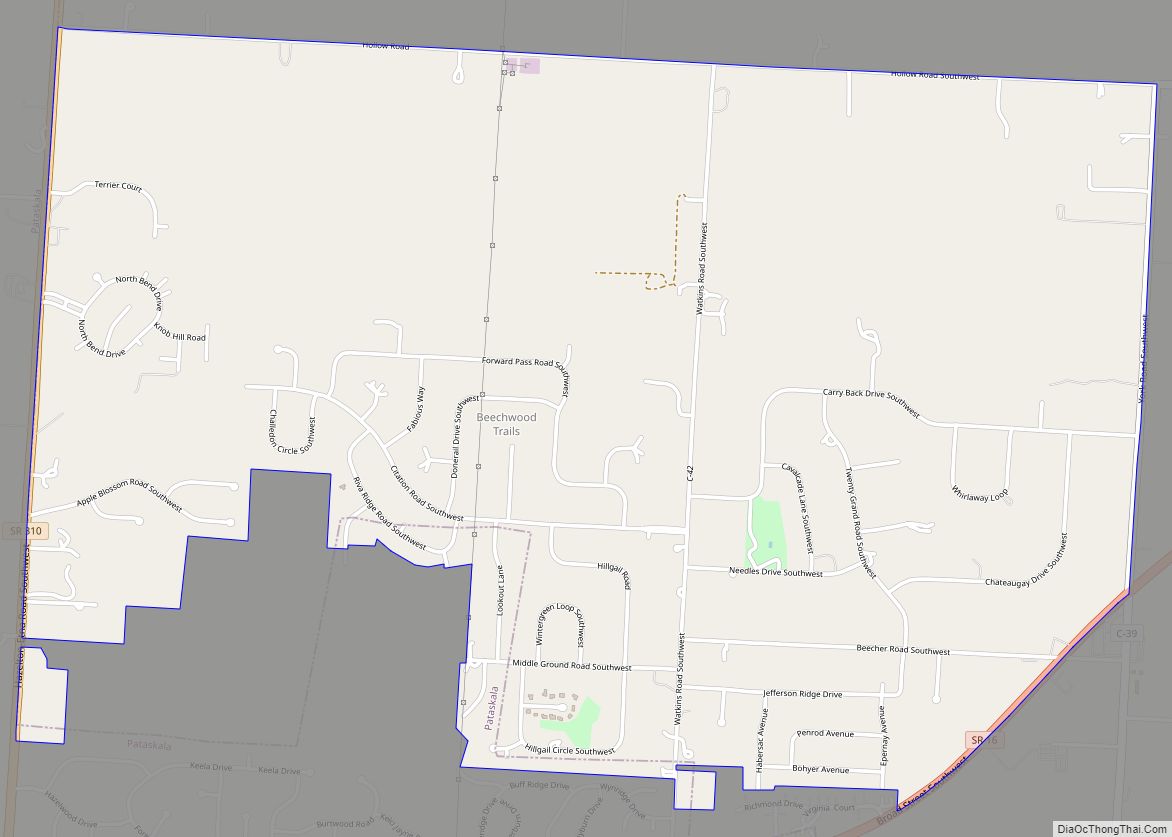
Beechwood Trails is a census-designated place (CDP) in Harrison Township, Licking County, Ohio, United States. The population was 3,020 at the 2010 census, up from 2,258 at the 2000 census. Beechwood Trails CDP overview: Name: Beechwood Trails CDP LSAD Code: 57 LSAD Description: CDP (suffix) State: Ohio County: Licking County Elevation: 1,207 ft (368 m) Total Area: ... Read more
Bedford is a city in Cuyahoga County, Ohio, United States located to the east of Cleveland. The population was 13,074 at the 2010 census. It is an eastern first ring suburb of Cleveland. Bedford city overview: Name: Bedford city LSAD Code: 25 LSAD Description: city (suffix) State: Ohio County: Cuyahoga County Elevation: 948 ft (289 m) Total ... Read more
