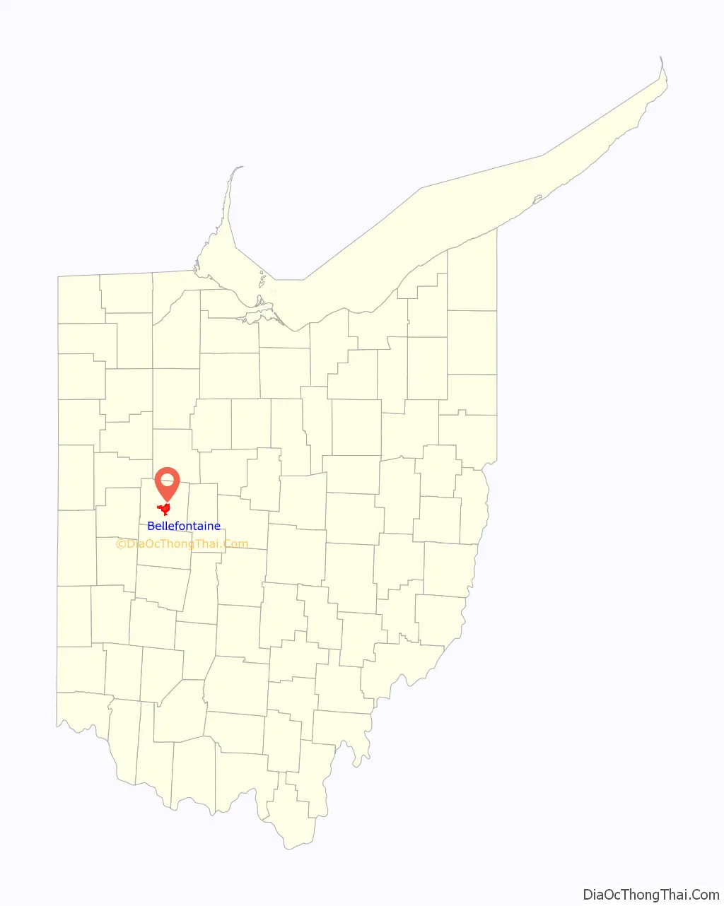
Bellefontaine (/bɛlˈfaʊntən/ bel-FOWN-tən) is a city in and the county seat of Logan County, Ohio, United States, located 48 miles (77 km) northwest of Columbus. The population was 13,370 at the 2010 Census. It is the principal city of the Bellefontaine, OH Micropolitan Statistical Area, which includes all of Logan County. The highest point in Ohio, Campbell Hill, is within the city limits.
| Name: | Bellefontaine city |
|---|---|
| LSAD Code: | 25 |
| LSAD Description: | city (suffix) |
| State: | Ohio |
| County: | Logan County |
| Founded: | 1817 |
| Elevation: | 1,243 ft (379 m) |
| Total Area: | 10.10 sq mi (26.17 km²) |
| Land Area: | 10.10 sq mi (26.17 km²) |
| Water Area: | 0.00 sq mi (0.00 km²) |
| Total Population: | 14,115 |
| Population Density: | 1,397.11/sq mi (539.42/km²) |
| ZIP code: | 43311 |
| FIPS code: | 3905130 |
| GNISfeature ID: | 1064407 |
| Website: | ci.bellefontaine.oh.us |
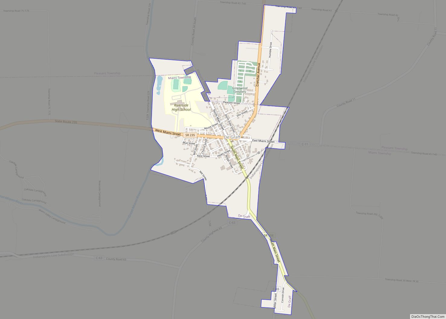
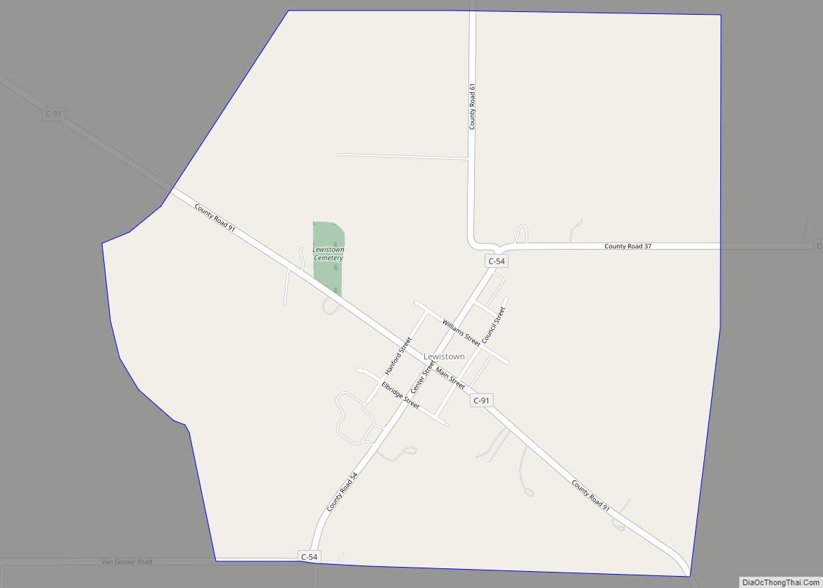
Online Interactive Map
Click on ![]() to view map in "full screen" mode.
to view map in "full screen" mode.
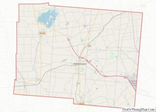
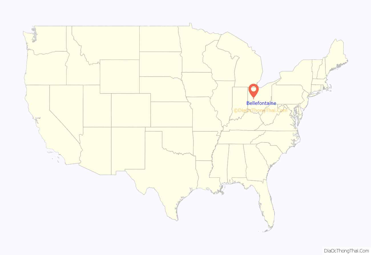
Bellefontaine location map. Where is Bellefontaine city?
History
The name Bellefontaine means “beautiful spring” in French, and is purported to refer to several springs in the area. However, locally, the original French pronunciation is not used, and it is pronounced “bell fountain.”
Blue Jacket’s Town
Around 1777, the Shawnee war chief Blue Jacket (Weyapiersenwah) built a settlement here, known as “Blue Jacket’s Town”. Blue Jacket and his band had previously occupied a village along the Scioto River, but the American Revolutionary War had reached the Ohio Country. Blue Jacket and other American Indians who took up arms against the American revolutionaries relocated in order to be closer to their British allies at Detroit.
After the United States gained independence, its forces continued warfare against former Indian allies of the British. Blue Jacket’s Town was destroyed in Logan’s Raid, conducted by Kentucky militia in 1786 at the outset of the Northwest Indian War. The expedition was led by Benjamin Logan, namesake of Logan County. Blue Jacket and his followers relocated further northwest to the Maumee River.
Beginning in the 1800s, American Revolutionary War veterans and others from Virginia and elsewhere began settling in the area of Blue Jacket’s Town. Bellefontaine is on or near the edge of the Virginia Military District, where the cash-poor government granted tracts of land to veterans in payment for their services during the war. The Treaty of Greenville defined lands to be held by European Americans as separate from those to be held by natives but it was poorly administered in the area and whites frequently encroached on native lands.
Railroads
Bellefontaine was platted by European Americans in 1820 and incorporated by the legislature in 1835. In 1837, the Mad River & Lake Erie Railroad built the first railroad to Bellefontaine. This began its reputation as a railroading town. In the 1890s the Cleveland, Cincinnati, Chicago and St. Louis Railway (also called the Big Four Railroad) built a main terminal in the city. This terminal boasted the largest roundhouse between New York and St. Louis.
Though railroading hit hard times and the industry went through radical restructuring in the late 20th century, and the Big Four terminal ceased operations in 1983, Bellefontaine remains a landmark on America’s railways. The city is now just a thoroughfare for CSX.
Automotive transportation
In 1891, Bellefontaine became the location of the first concrete street in America. George Bartholomew invented a process for paving using Portland cement, which until then had been used in stone construction. A small section of Main Street, on the west side of the Logan County Courthouse, was the first to be paved using that process. When that proved successful, Court Avenue, which runs along the south side of the courthouse, was paved with concrete. While Main Street is now paved with asphalt, Court Avenue has retained its original concrete pavement for more than 100 years. At its centennial, the street was closed to vehicular traffic and a statue of Bartholomew placed at its Main Street end; it became a pedestrian way. Since then one lane has been reopened for eastbound traffic.
In 1979, Honda began manufacturing motorcycles in the nearby city of Marysville, Ohio. Since that time, Honda’s operations in the Bellefontaine area have greatly expanded. Bellefontaine is a central location among Honda operations in Marysville, East Liberty, Russells Point, Anna, and Troy, Ohio. Honda is Bellefontaine’s largest employer in the early 21st century.
U.S. Route 68 intersects with State Routes 47 and 540 in Bellefontaine. U.S. Route 33, a freeway that has interchanges with US 68 and SR 540, skirts the northern edge of the city.
Campbell Hill
To European settlers, Campbell Hill was first known as Hogue’s Hill, perhaps a misspelling of Solomon Hoge’s surname, the person who first deeded the land in 1830. In 1898, the land was sold to Charles D. Campbell, in whose name Campbell Hill is now known. Campbell sold the hill and surrounding land to August Wagner, who was the original brewer of Augustiner and Gambrinus beers. (These brands are now the trademarks of the Gambrinus Company of San Antonio, Texas, though the company has stopped production of these beers.)
In 1950, the family of August Wagner deeded Campbell Hill and the surrounding 57.5 acres to the U.S. government. The government stationed the 664th Aircraft Control and Warning Squadron on the hill in 1951. This military unit was responsible for monitoring for possible aerospace attacks from the Soviet Union during the Cold War. The 664th AC&WS and similar military units were eventually superseded by the North American Aerospace Defense Command (or NORAD). The base in Bellefontaine was closed in 1969.
The Ohio Hi-Point Vocational-Technical District opened a school atop the hill in 1974. The school is now known as the Ohio Hi-Point Career Center.
Revitalization
In 2012 local real estate developer Small Nation purchased and renovated the former J.C. Penney building. Since then, the organization invested over $17 million in renovating over 30 downtown buildings and attracting new businesses to the area. The investment into the properties created roughly 200 jobs in the city. In 2018, Bellefontaine was classified as an Opportunity Zone to further attract investors to the area. Neighboring areas have begun using Bellefontaine as a model to attract more investment in their own towns.
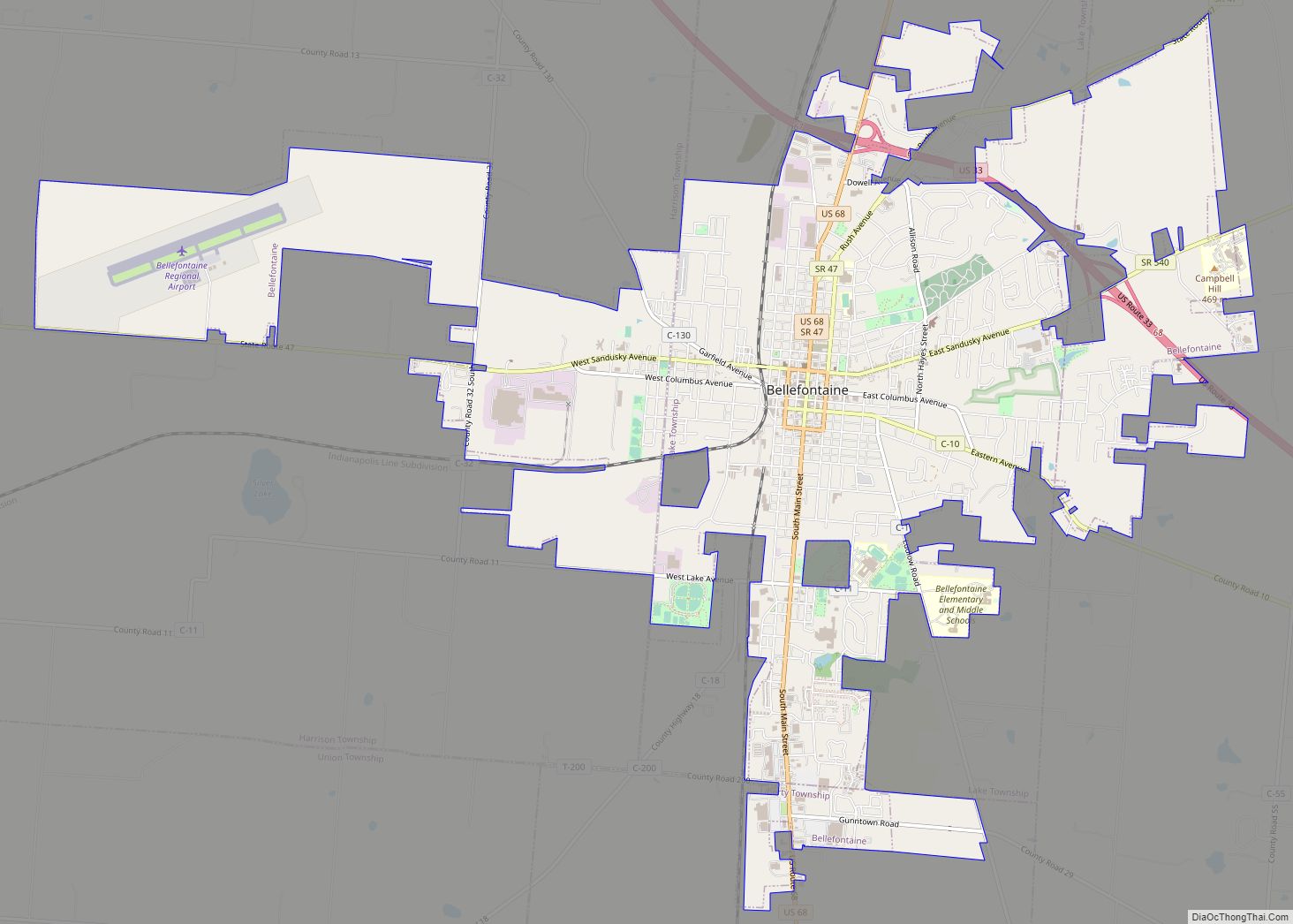
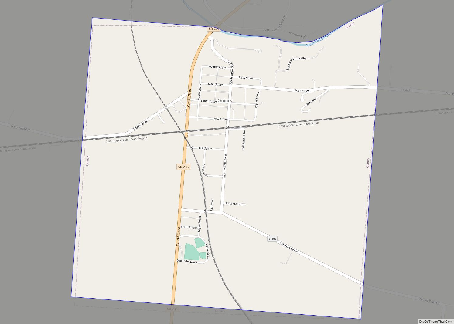
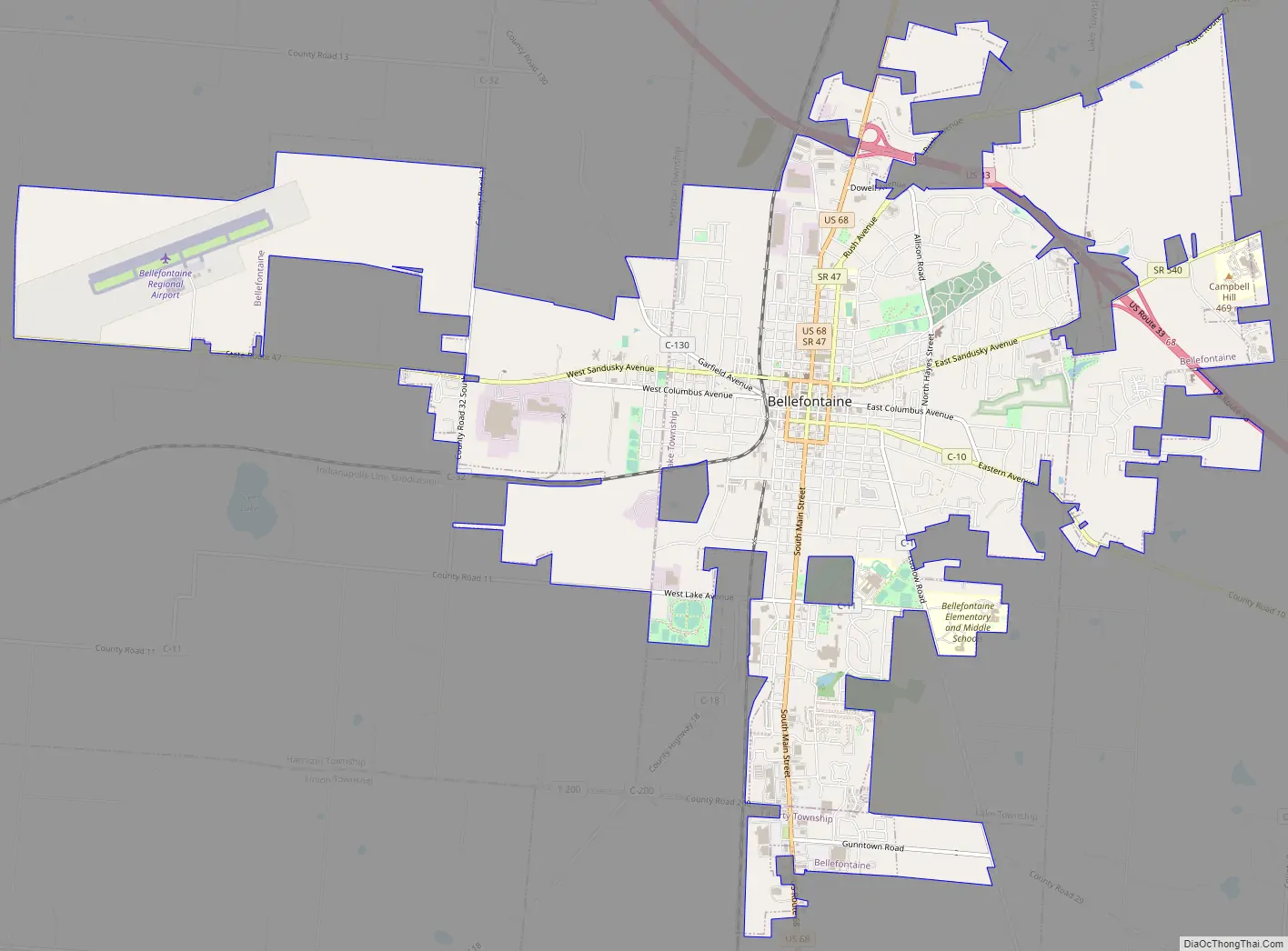
Bellefontaine Road Map
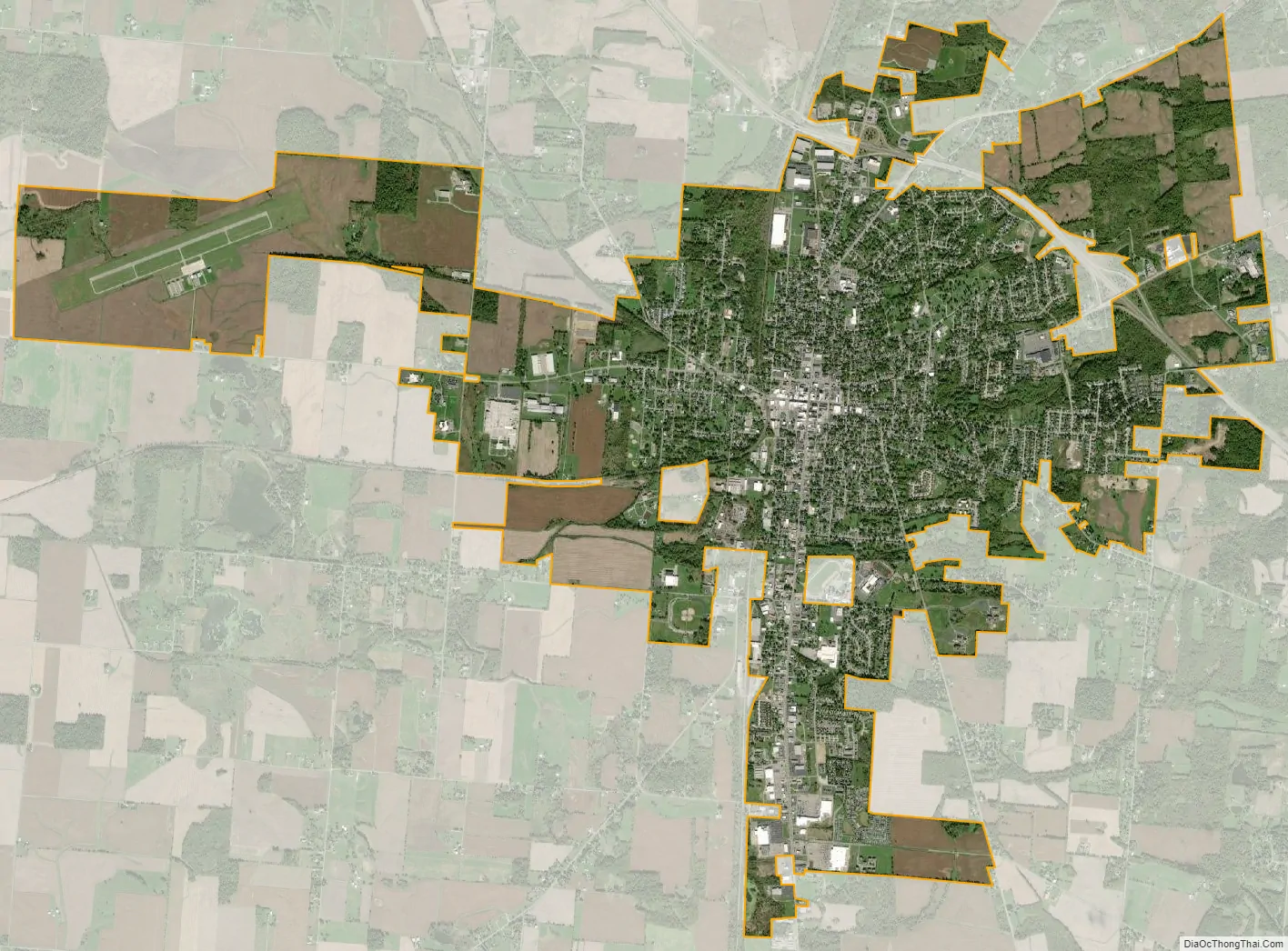
Bellefontaine city Satellite Map
Geography
According to the 2010 census, the city has a total area of 10.04 square miles (26.0 km), all land.
Climate
The city of Bellefontaine is at the convergence of the humid subtropical (Köppen Cfa) and humid continental (Köppen Dfa) climate zones according to the Köppen climate map. The region is characterized by four distinct seasons. Winters are cool to cold with mild periods, and summers are generally hot and muggy, with significant precipitation year-round. The city is too far south to experience lake effect snow from the Great Lakes region, however it does experience more snow than surrounding areas due to the city’s elevation. Traditionally, Bellefontaine’s elevation excludes it from tornadoes and floods that affect the majority of the Miami Valley.
See also
Map of Ohio State and its subdivision:- Adams
- Allen
- Ashland
- Ashtabula
- Athens
- Auglaize
- Belmont
- Brown
- Butler
- Carroll
- Champaign
- Clark
- Clermont
- Clinton
- Columbiana
- Coshocton
- Crawford
- Cuyahoga
- Darke
- Defiance
- Delaware
- Erie
- Fairfield
- Fayette
- Franklin
- Fulton
- Gallia
- Geauga
- Greene
- Guernsey
- Hamilton
- Hancock
- Hardin
- Harrison
- Henry
- Highland
- Hocking
- Holmes
- Huron
- Jackson
- Jefferson
- Knox
- Lake
- Lake Erie
- Lawrence
- Licking
- Logan
- Lorain
- Lucas
- Madison
- Mahoning
- Marion
- Medina
- Meigs
- Mercer
- Miami
- Monroe
- Montgomery
- Morgan
- Morrow
- Muskingum
- Noble
- Ottawa
- Paulding
- Perry
- Pickaway
- Pike
- Portage
- Preble
- Putnam
- Richland
- Ross
- Sandusky
- Scioto
- Seneca
- Shelby
- Stark
- Summit
- Trumbull
- Tuscarawas
- Union
- Van Wert
- Vinton
- Warren
- Washington
- Wayne
- Williams
- Wood
- Wyandot
- Alabama
- Alaska
- Arizona
- Arkansas
- California
- Colorado
- Connecticut
- Delaware
- District of Columbia
- Florida
- Georgia
- Hawaii
- Idaho
- Illinois
- Indiana
- Iowa
- Kansas
- Kentucky
- Louisiana
- Maine
- Maryland
- Massachusetts
- Michigan
- Minnesota
- Mississippi
- Missouri
- Montana
- Nebraska
- Nevada
- New Hampshire
- New Jersey
- New Mexico
- New York
- North Carolina
- North Dakota
- Ohio
- Oklahoma
- Oregon
- Pennsylvania
- Rhode Island
- South Carolina
- South Dakota
- Tennessee
- Texas
- Utah
- Vermont
- Virginia
- Washington
- West Virginia
- Wisconsin
- Wyoming