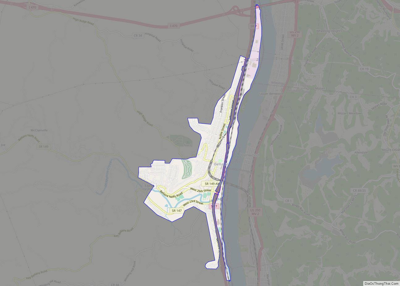
Bellaire is a village in Belmont County, Ohio, United States, along the Ohio River. The population was 3,870 at the 2020 census, having had its peak in 1920. It is part of the Wheeling metropolitan area.
The Bellaire Bridge (now abandoned and closed) was filmed in the 1991 motion picture The Silence of the Lambs. The curved railroad viaduct and bridge over the Ohio, the B & O Railroad Viaduct, were featured in the 2010 film Unstoppable and is a registered historic structure. A logo featuring the historic stone bridge is featured on official village paperwork as well as on police uniforms, and was designed by former resident Michael A. Massa, creator of the Belmont county seal, under the Administration of former City Mayor Fitch.
| Name: | Bellaire village |
|---|---|
| LSAD Code: | 47 |
| LSAD Description: | village (suffix) |
| State: | Ohio |
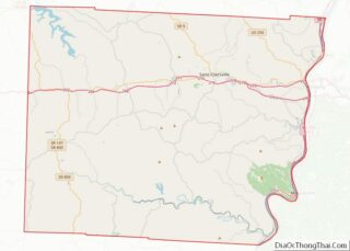
| County: | Belmont County |
| Elevation: | 69 ft (96 m) |
| Total Area: | 1.68 sq mi (4.35 km²) |
| Land Area: | 1.65 sq mi (4.28 km²) |
| Water Area: | 0.03 sq mi (0.07 km²) |
| Total Population: | 3,870 |
| Population Density: | 2,341.20/sq mi (904.14/km²) |
| ZIP code: | 43906 |
| Area code: | 740 |
| FIPS code: | 3905074 |
| GNISfeature ID: | 1060860 |
Online Interactive Map
Click on ![]() to view map in "full screen" mode.
to view map in "full screen" mode.
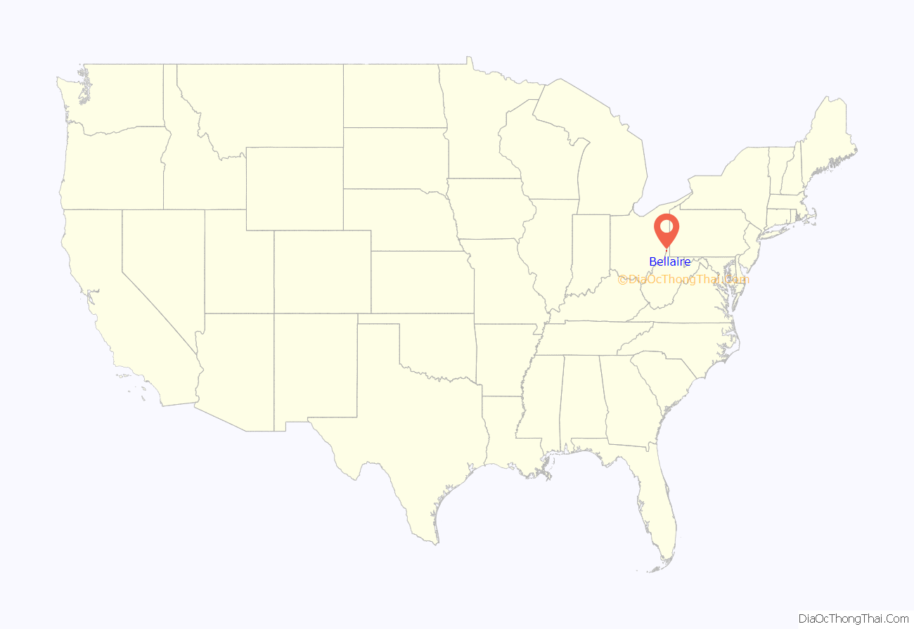
Bellaire location map. Where is Bellaire village?

History
Mound builders occupied numerous areas along the Ohio River and built complex earthworks. None of their distinctive prehistoric remains has been found within the present-day city limits. The Mingo, Shawnee and Delaware were historic tribes who inhabited the area at the time of European encounter and settlement. The latter were involved in the Northwest Indian Wars after settlement began in the post-Revolutionary War years. Unhappy that the United States had ignored their grievances in the 1789 Treaty of Fort Harmar, the Indians tried to push out the settlers over the next several years.
The first documented European visitors to the Ohio River Valley and this area were French trappers and priests in the early and mid-1700s. They were impressed with the river’s heavily wooded and hilly shores, and with the abundance of fish and wildlife. The young George Washington had explored and surveyed lands in the Ohio River Valley before the Revolutionary War. After the war, he supported plans to have the federal government make land grants to veterans as payment for their services, in lieu of cash.
The ownership of the land changed hands sporadically, through speculation and conflicts over land deeds. John Rodefer and Jacob Davis purchased a shared majority of land for a village, which they realized in 1834. They surveyed six acres of building lot sites north of what is today Twenty-Seventh Street West toward Belmont Street. They named it Bell Air after Davis’s former home in Maryland. Soon after, other settlers began to buy lots, and the town began to grow. Jacob Heatherington was the builder of the real House That Jack Built, referring to his Mule Jack who pulled the supplies to build the house to the site. Upon completion of the house, Jacob led Jack through every room of the house to show Jack what it looked like.
The first big boost for growth came with the construction of the Central Ohio Railway in 1853, later absorbed by the Baltimore and Ohio, and the Stone Viaduct Bridge (opened in 1871) that carried it to Wheeling, West Virginia. The B&O reached Wheeling in January 1853, having started construction at Baltimore, Maryland in 1857. It was the means by which the East Coast city, a port on Chesapeake Bay, could connect with western markets and compete with New York City and the Erie Canal. Col. John Sullivan campaigned for the connection from Bellaire. The town was renamed Bellaire by the railroad company.
Bellaire had some strategic importance during the Civil War. Its location on the Ohio River meant that it was on the border between the state of Ohio (pro-Union) and the state of Virginia (voted to secede from the Union). Railroads on both sides of the river added to the strategic significance. For these reasons, Camp Jefferson was established in Bellaire as a military training camp, and was often departure point for Union soldiers using the Baltimore and Ohio Railroad to move to the southeast.
Bellaire gained the title of “Glass City” for the period of 1870 to 1885. The area had modern transportation, an energy source, and a skilled workforce. The transportation infrastructure included the Ohio River, the National Road, and railroads, including the Baltimore & Ohio Railroad and the Central Ohio Railroad. Coal was the local energy source, as Belmont County was part of the eastern Ohio coal region. A skilled workforce was located within the region, since glass had been made across the river in Wheeling since the 1820s. Some of the glass-making facilities of the time were Belmont Glass Works, Bellaire Window Glass Company, Rodefer-Gleason Glass Company, Star Glass Works, National Glass Manufacturing Company, Bellaire Goblet Works, Union Window Glass Company, and Enterprise Window Glass Company. In the next decade, the list also included the Bellaire Bottle Company, the Century Glass Company, and the Imperial Glass Company. The discovery of natural gas in the Findlay, Ohio area in the late 1880s drew many manufacturers from Bellaire to the west, where the region around Toledo and Fostoria became the new center for Ohio’s glass industry.
Imperial Glass Museum
Among dozens of local manufacturers, the Imperial Glass Company, founded in 1901 by Edward Muhleman, a riverman and financier, first made glass in 1904. It specialized in the mass production of attractive and affordable pressed-glass tableware, using continuous-feed melting tanks. One of the largest American handmade glass manufacturers during the 20th century, Imperial also produced blown glass, several lines of art glass, and its trademark “Candlewick” pattern. Bellaire’s glassmaking era finally ended when the “Big I” closed its door in 1984. The building was razed in 1995. Its diverse products remain highly prized by glass collectors.
The Imperial Glass Museum contains displays of Imperial Glassware, as well as other Bellaire glassware, from the Ohio Valley Glass and Artifacts Museum. The museum is dedicated to the glassware and people who worked at Imperial. The National Imperial Glass (NIG) Collectors Society intends to keep alive the story of Imperial through the museum. Imperial was one of the largest and most diverse of the companies that made up the American handmade glass industry.
Bellaire Road Map
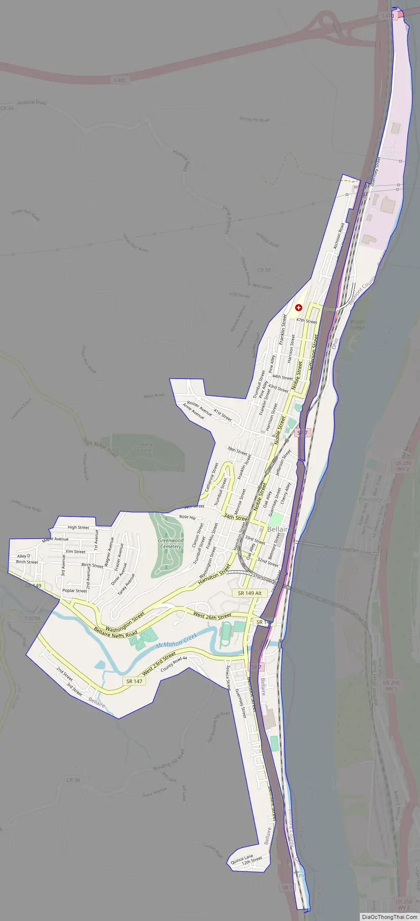
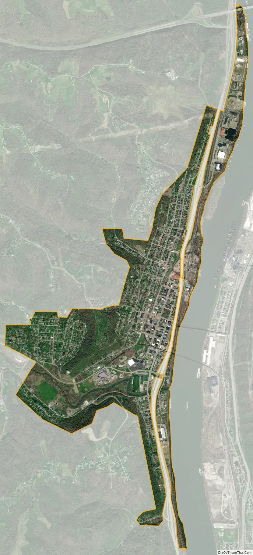
Bellaire city Satellite Map
Geography
Bellaire is located at 40°0′59″N 80°44′44″W / 40.01639°N 80.74556°W / 40.01639; -80.74556 (40.016257, −80.745627).
According to the United States Census Bureau, the village has a total area of 1.68 square miles (4.35 km), of which 1.65 square miles (4.27 km) is land and 0.03 square miles (0.08 km) is water.
See also
Map of Ohio State and its subdivision:- Adams
- Allen
- Ashland
- Ashtabula
- Athens
- Auglaize
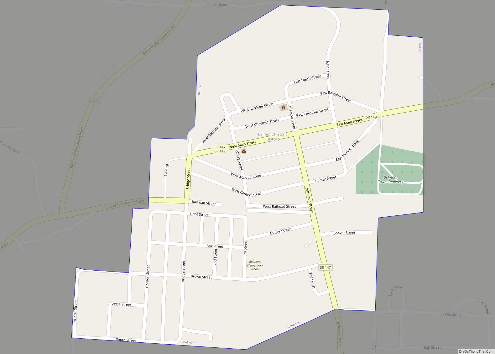
- Belmont
- Brown
- Butler
- Carroll
- Champaign
- Clark
- Clermont
- Clinton
- Columbiana
- Coshocton
- Crawford
- Cuyahoga
- Darke
- Defiance
- Delaware
- Erie
- Fairfield
- Fayette
- Franklin
- Fulton
- Gallia
- Geauga
- Greene
- Guernsey
- Hamilton
- Hancock
- Hardin
- Harrison
- Henry
- Highland
- Hocking
- Holmes
- Huron
- Jackson
- Jefferson
- Knox
- Lake
- Lake Erie
- Lawrence
- Licking
- Logan
- Lorain
- Lucas
- Madison
- Mahoning
- Marion
- Medina
- Meigs
- Mercer
- Miami
- Monroe
- Montgomery
- Morgan
- Morrow
- Muskingum
- Noble
- Ottawa
- Paulding
- Perry
- Pickaway
- Pike
- Portage
- Preble
- Putnam
- Richland
- Ross
- Sandusky
- Scioto
- Seneca
- Shelby
- Stark
- Summit
- Trumbull
- Tuscarawas
- Union
- Van Wert
- Vinton
- Warren
- Washington
- Wayne
- Williams
- Wood
- Wyandot
- Alabama
- Alaska
- Arizona
- Arkansas
- California
- Colorado
- Connecticut
- Delaware
- District of Columbia
- Florida
- Georgia
- Hawaii
- Idaho
- Illinois
- Indiana
- Iowa
- Kansas
- Kentucky
- Louisiana
- Maine
- Maryland
- Massachusetts
- Michigan
- Minnesota
- Mississippi
- Missouri
- Montana
- Nebraska
- Nevada
- New Hampshire
- New Jersey
- New Mexico
- New York
- North Carolina
- North Dakota
- Ohio
- Oklahoma
- Oregon
- Pennsylvania
- Rhode Island
- South Carolina
- South Dakota
- Tennessee
- Texas
- Utah
- Vermont
- Virginia
- Washington
- West Virginia
- Wisconsin
- Wyoming