Otway is a village in Scioto County, Ohio, United States. The population was 87 at the 2010 census. Otway village overview: Name: Otway village LSAD Code: 47 LSAD Description: village (suffix) State: Ohio County: Scioto County Elevation: 597 ft (182 m) Total Area: 0.18 sq mi (0.46 km²) Land Area: 0.17 sq mi (0.45 km²) Water Area: 0.00 sq mi (0.01 km²) Total Population: 92 Population ... Read more
Ohio Cities and Places
Ottoville is a village in Putnam County, Ohio, in the United States. The population was 976 at the 2010 census. Ottoville village overview: Name: Ottoville village LSAD Code: 47 LSAD Description: village (suffix) State: Ohio County: Putnam County Elevation: 738 ft (225 m) Total Area: 0.95 sq mi (2.46 km²) Land Area: 0.95 sq mi (2.45 km²) Water Area: 0.00 sq mi (0.00 km²) Total Population: ... Read more
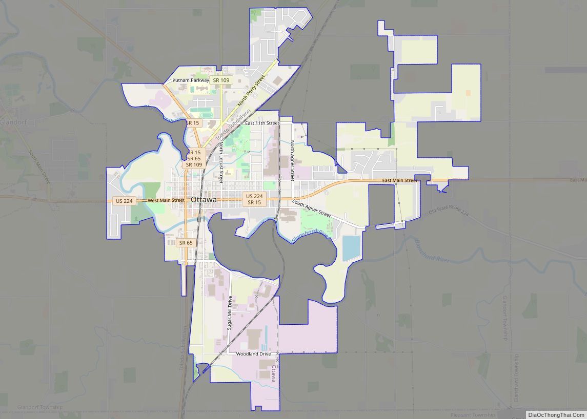
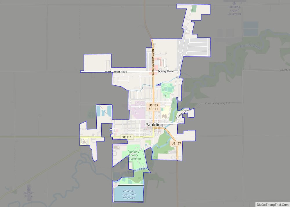
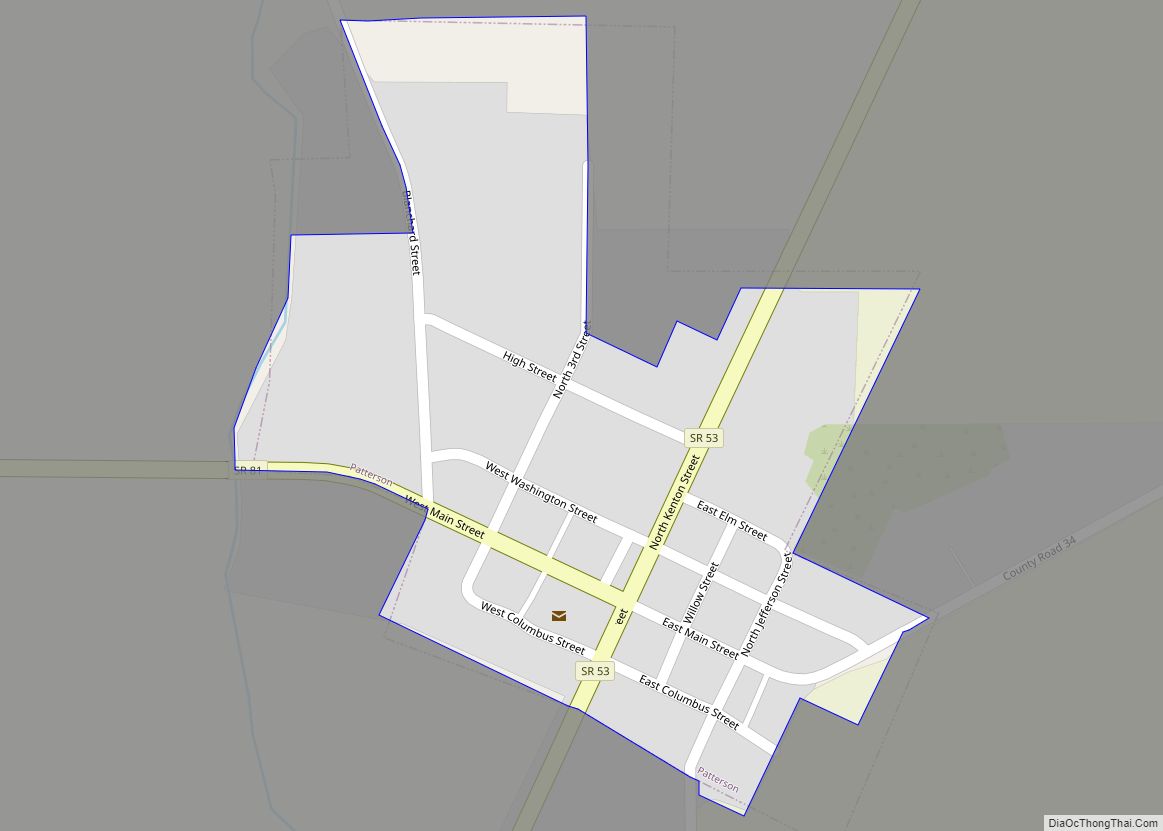
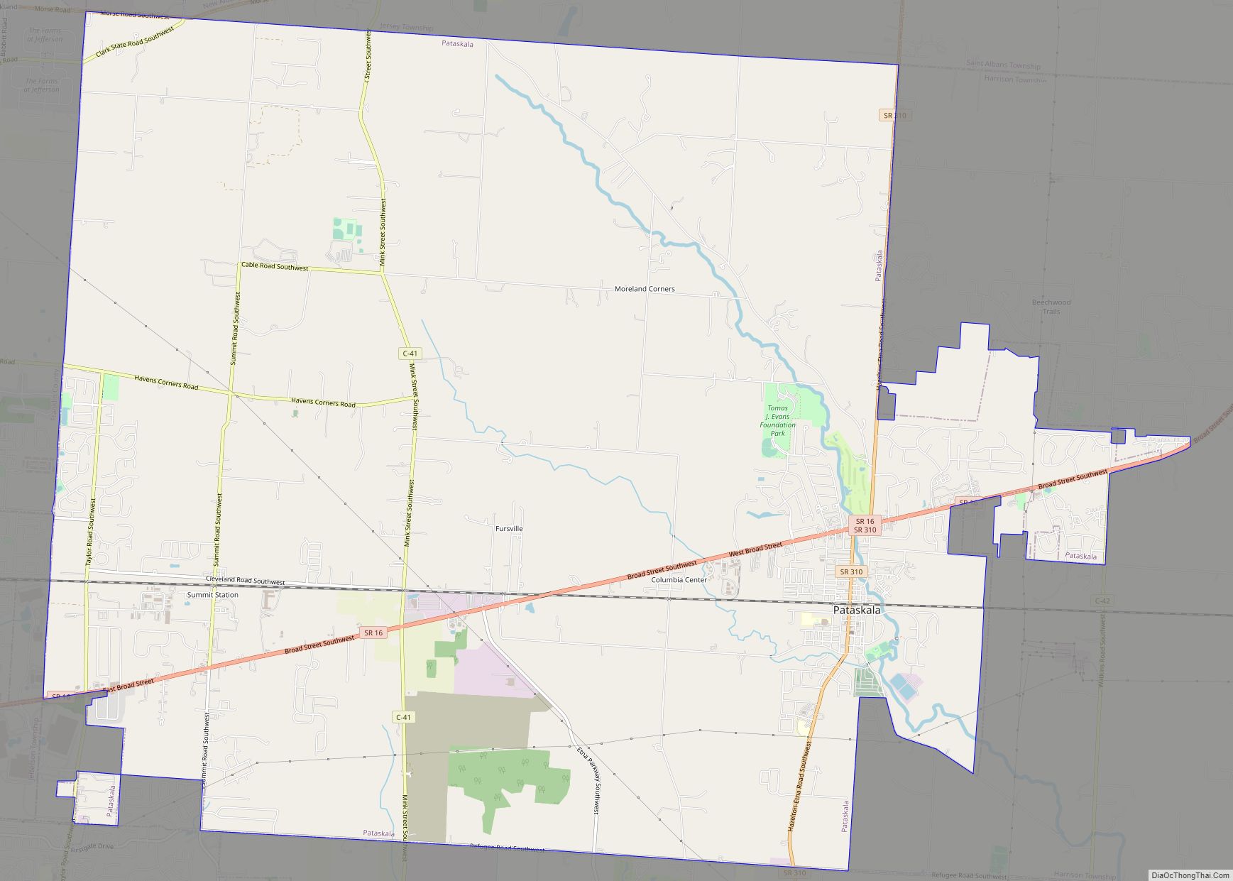
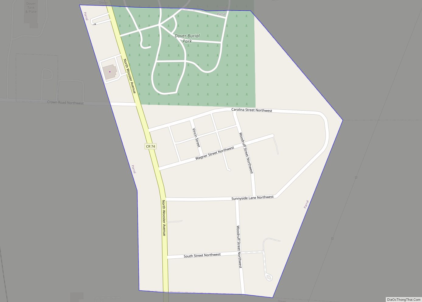
Ottawa is a village and the county seat of Putnam County, Ohio, United States. It is located 51 miles southwest of Toledo, a major port city on the Maumee River. The population was 4,460 at the 2010 census. Ottawa village overview: Name: Ottawa village LSAD Code: 47 LSAD Description: village (suffix) State: Ohio County: Putnam ... Read more
Ottawa Hills is a village in Lucas County, Ohio, United States. The population was 4,517 at the 2010 census. The village was developed on both sides of the Ottawa River (Ohio) and serves as a bedroom community and suburb of Toledo. The Ottawa Hills school district ranked first in the state in student performance for ... Read more
Ostrander is a village in Delaware County, Ohio, United States. The population was 643 at the 2010 census. Ostrander village overview: Name: Ostrander village LSAD Code: 47 LSAD Description: village (suffix) State: Ohio County: Delaware County Elevation: 932 ft (284 m) Total Area: 0.94 sq mi (2.43 km²) Land Area: 0.94 sq mi (2.43 km²) Water Area: 0.00 sq mi (0.00 km²) Total Population: 1,094 Population ... Read more
Pancoastburg (originally known as Pancoastburgh) is an unincorporated community and census-designated place (CDP) in Madison Township, Fayette County, Ohio, United States. It is located at 39°37′28″N 83°15′56″W / 39.62444°N 83.26556°W / 39.62444; -83.26556Coordinates: 39°37′28″N 83°15′56″W / 39.62444°N 83.26556°W / 39.62444; -83.26556, along Ohio State Route 207, about 6 miles (10 km) south of Mount Sterling. As ... Read more
Palestine is a village in Darke County, Ohio, United States. The population was 180 at the 2020 census. Palestine village overview: Name: Palestine village LSAD Code: 47 LSAD Description: village (suffix) State: Ohio County: Darke County Elevation: 1,109 ft (338 m) Total Area: 0.15 sq mi (0.38 km²) Land Area: 0.15 sq mi (0.38 km²) Water Area: 0.00 sq mi (0.00 km²) Total Population: 180 Population ... Read more
Payne is a village in Paulding County, Ohio, United States. The population was 1,192 at the 2020 census. Payne village overview: Name: Payne village LSAD Code: 47 LSAD Description: village (suffix) State: Ohio County: Paulding County Elevation: 745 ft (227 m) Total Area: 0.68 sq mi (1.76 km²) Land Area: 0.68 sq mi (1.76 km²) Water Area: 0.00 sq mi (0.00 km²) Total Population: 1,192 Population ... Read more
Paulding is a village in and the county seat of Paulding County, Ohio, United States. It is located predominantly in Paulding Township about 64 miles southwest of Toledo. The population was 3,605 at the 2010 census. Paulding village overview: Name: Paulding village LSAD Code: 47 LSAD Description: village (suffix) State: Ohio County: Paulding County Elevation: ... Read more
Patterson is a village in Hardin County, Ohio, United States. The population was 139 at the 2010 census. Patterson village overview: Name: Patterson village LSAD Code: 47 LSAD Description: village (suffix) State: Ohio County: Hardin County Elevation: 922 ft (281 m) Total Area: 0.09 sq mi (0.23 km²) Land Area: 0.09 sq mi (0.23 km²) Water Area: 0.00 sq mi (0.00 km²) Total Population: 130 Population ... Read more
Pataskala (/pəˈtæskələ/ pə-TAS-kə-lə) is a city in Licking County, Ohio, United States, approximately 19 miles (31 km) east of Columbus. The population was 14,962 at the 2010 census. Pataskala was a small community until 1996, when what was then the village of Pataskala merged with Lima Township, vastly increasing its population and geographic area. Pataskala city ... Read more
Parral is a village in Tuscarawas County, Ohio, United States. The population was 218 at the 2010 census. Parral village overview: Name: Parral village LSAD Code: 47 LSAD Description: village (suffix) State: Ohio County: Tuscarawas County Elevation: 912 ft (278 m) Total Area: 0.18 sq mi (0.47 km²) Land Area: 0.18 sq mi (0.47 km²) Water Area: 0.00 sq mi (0.00 km²) Total Population: 205 Population ... Read more