Ottawa is a village and the county seat of Putnam County, Ohio, United States. It is located 51 miles southwest of Toledo, a major port city on the Maumee River. The population was 4,460 at the 2010 census.
| Name: | Ottawa village |
|---|---|
| LSAD Code: | 47 |
| LSAD Description: | village (suffix) |
| State: | Ohio |
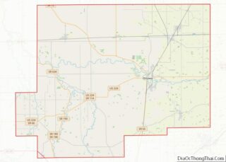
| County: | Putnam County |
| Elevation: | 728 ft (141.7 m) |
| Total Area: | 4.61 sq mi (11.95 km²) |
| Land Area: | 4.55 sq mi (11.78 km²) |
| Water Area: | 0.07 sq mi (0.17 km²) 1.47% |
| Total Population: | 4,456 |
| Population Density: | 979.99/sq mi (378.34/km²) |
| ZIP code: | 45875 |
| Area code: | 419 |
| FIPS code: | 3958982 |
| GNISfeature ID: | 1070881 |
| Website: | http://www.ottawaohio.us |
Online Interactive Map
Click on ![]() to view map in "full screen" mode.
to view map in "full screen" mode.
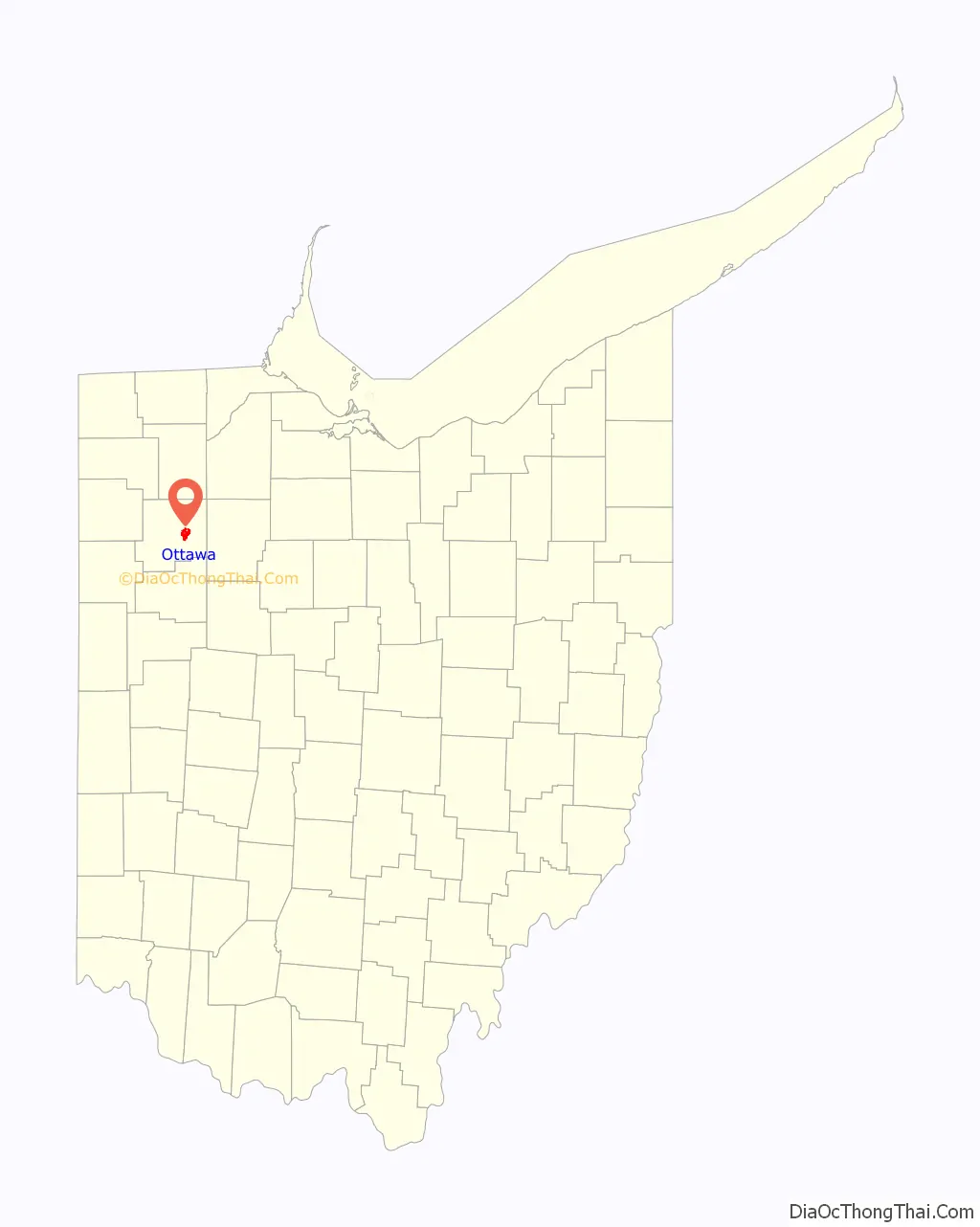
Ottawa location map. Where is Ottawa village?

History
The region was long inhabited by the Iroquoian-speaking Wyandot and Algonquian-speaking Ottawa tribes, who settled along the Blanchard River. In 1792 President George Washington sent Major Alexander Truman, his servant William Lynch, and guide/interpreter William Smalley on a peace mission to the tribes. Truman and Lynch were killed; Truman was apparently killed prior to April 20, 1792 at Lower Tawa Town, an Ottawa village. A similar mission led by Colonel John Hardin ended with Hardin and his servant Freeman being killed in Shelby County; the tribes resisted European-American encroachment.
During the War of 1812 between the US and Great Britain, numerous tribes allied with the British in the hope of keeping European Americans out of their territories. Unable to resist the continued pressure, in 1817, the tribes ceded a large tract of land in Northwestern Ohio to the United States. Blanchard’s Fork Reserve was established. The tribes ceded this Reserve in 1831, during the era of Indian Removal, and their land claims in the state were extinguished. The Ottawa population on that Reserve removed to Indian Territory in present-day Kansas in 1832. Within the Reserve, two Ottawa villages existed, of which the Lower Tawa Town was the site of what developed as the village of Ottawa, Putnam County, Ohio.
European-American settlement
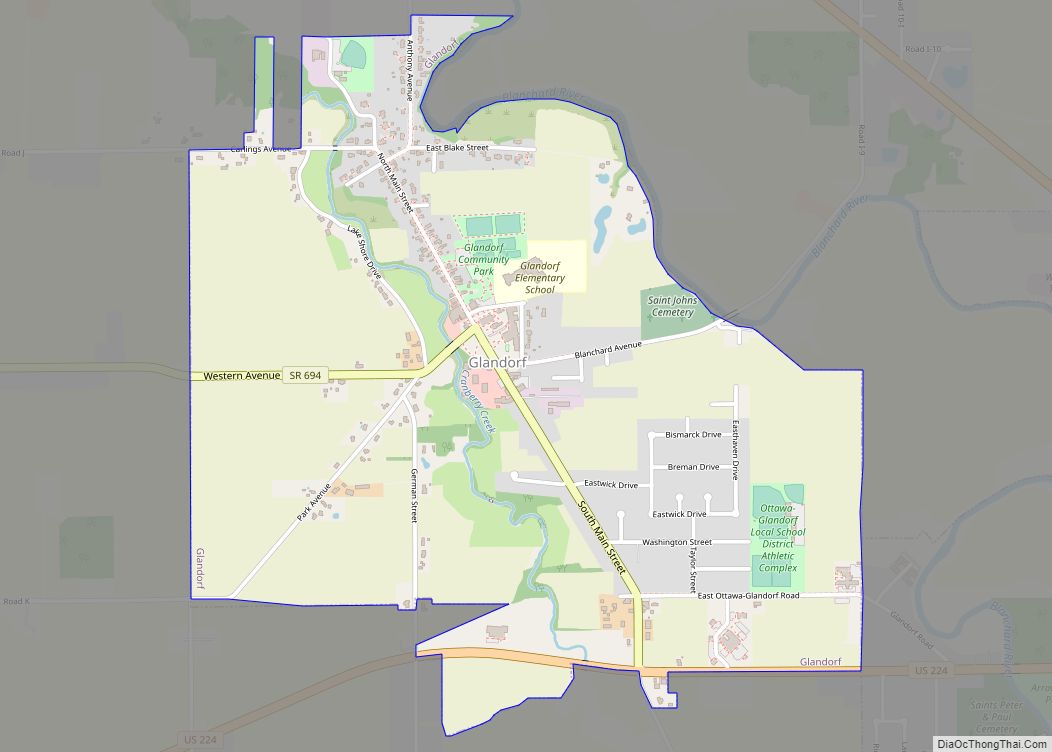
Among the early settlers of the Ottawa area was Henry Kohls, who arrived in 1835 and settled with his family in the village of Glandorf. In the early 1900s, his grandsons, Charles and Frank Kohls, were each elected Putnam County treasurer in successive two-year stints. Notably, while serving as treasurer, they each appointed the other as their chief deputy.
Ottawa was incorporated as a village in 1861, during the first year of the American Civil War.
Ottawa Road Map
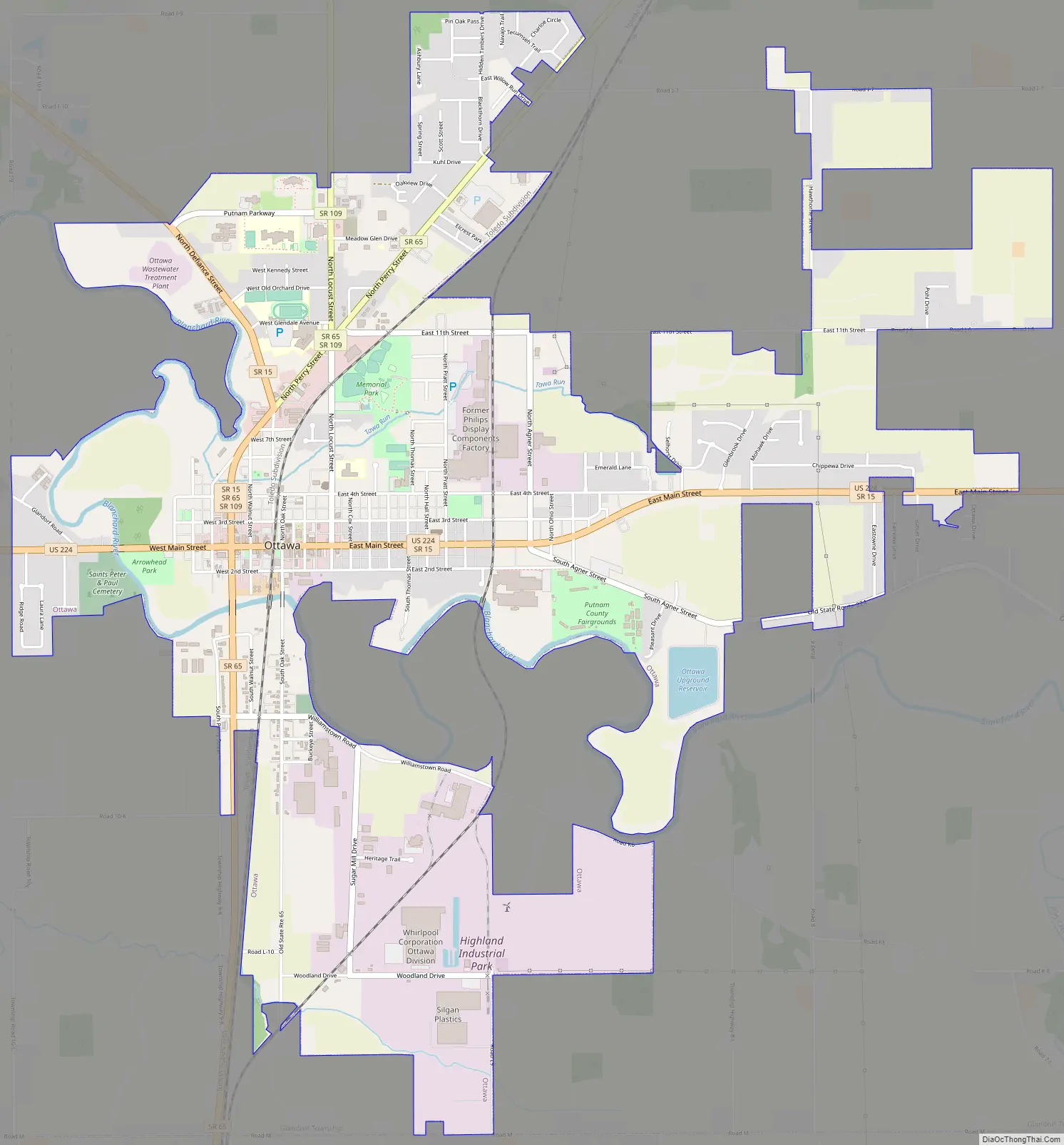
Ottawa city Satellite Map

Geography
Ottawa is located at 41°1′15″N 84°2′29″W / 41.02083°N 84.04139°W / 41.02083; -84.04139 (41.020885, -84.041314).
According to the United States Census Bureau, the village has a total area of 4.77 square miles (12.35 km), of which 4.70 square miles (12.17 km) is land and 0.07 square miles (0.18 km) is water.
See also
Map of Ohio State and its subdivision:- Adams
- Allen
- Ashland
- Ashtabula
- Athens
- Auglaize
- Belmont
- Brown
- Butler
- Carroll
- Champaign
- Clark
- Clermont
- Clinton
- Columbiana
- Coshocton
- Crawford
- Cuyahoga
- Darke
- Defiance
- Delaware
- Erie
- Fairfield
- Fayette
- Franklin
- Fulton
- Gallia
- Geauga
- Greene
- Guernsey
- Hamilton
- Hancock
- Hardin
- Harrison
- Henry
- Highland
- Hocking
- Holmes
- Huron
- Jackson
- Jefferson
- Knox
- Lake
- Lake Erie
- Lawrence
- Licking
- Logan
- Lorain
- Lucas
- Madison
- Mahoning
- Marion
- Medina
- Meigs
- Mercer
- Miami
- Monroe
- Montgomery
- Morgan
- Morrow
- Muskingum
- Noble
- Ottawa
- Paulding
- Perry
- Pickaway
- Pike
- Portage
- Preble
- Putnam
- Richland
- Ross
- Sandusky
- Scioto
- Seneca
- Shelby
- Stark
- Summit
- Trumbull
- Tuscarawas
- Union
- Van Wert
- Vinton
- Warren
- Washington
- Wayne
- Williams
- Wood
- Wyandot
- Alabama
- Alaska
- Arizona
- Arkansas
- California
- Colorado
- Connecticut
- Delaware
- District of Columbia
- Florida
- Georgia
- Hawaii
- Idaho
- Illinois
- Indiana
- Iowa
- Kansas
- Kentucky
- Louisiana
- Maine
- Maryland
- Massachusetts
- Michigan
- Minnesota
- Mississippi
- Missouri
- Montana
- Nebraska
- Nevada
- New Hampshire
- New Jersey
- New Mexico
- New York
- North Carolina
- North Dakota
- Ohio
- Oklahoma
- Oregon
- Pennsylvania
- Rhode Island
- South Carolina
- South Dakota
- Tennessee
- Texas
- Utah
- Vermont
- Virginia
- Washington
- West Virginia
- Wisconsin
- Wyoming