Paulding is a village in and the county seat of Paulding County, Ohio, United States. It is located predominantly in Paulding Township about 64 miles southwest of Toledo. The population was 3,605 at the 2010 census.
| Name: | Paulding village |
|---|---|
| LSAD Code: | 47 |
| LSAD Description: | village (suffix) |
| State: | Ohio |
| County: | Paulding County |
| Elevation: | 719 ft (219 m) |
| Total Area: | 2.49 sq mi (6.46 km²) |
| Land Area: | 2.40 sq mi (6.21 km²) |
| Water Area: | 0.10 sq mi (0.25 km²) |
| Total Population: | 3,555 |
| Population Density: | 1,483.10/sq mi (572.55/km²) |
| ZIP code: | 45879 |
| Area code: | 419 |
| FIPS code: | 3961252 |
| GNISfeature ID: | 1044331 |
| Website: | http://villageofpaulding.com/ |
Online Interactive Map
Click on ![]() to view map in "full screen" mode.
to view map in "full screen" mode.
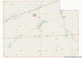
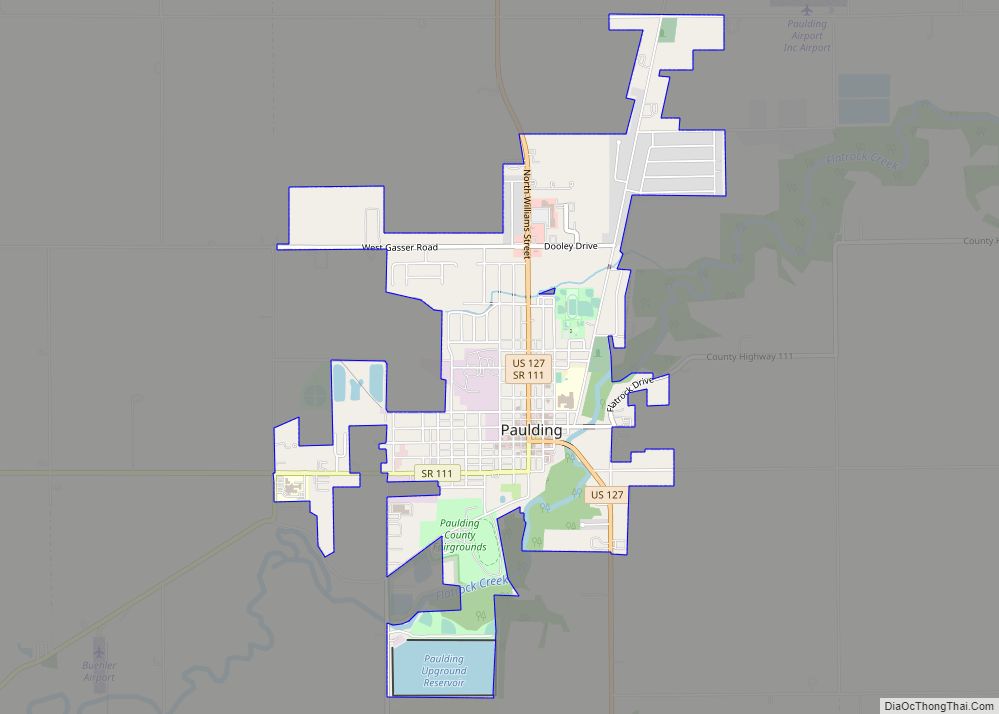
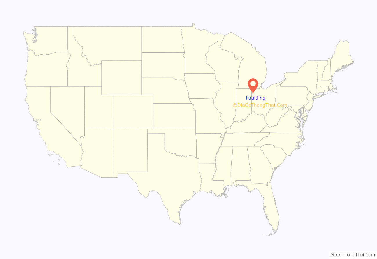
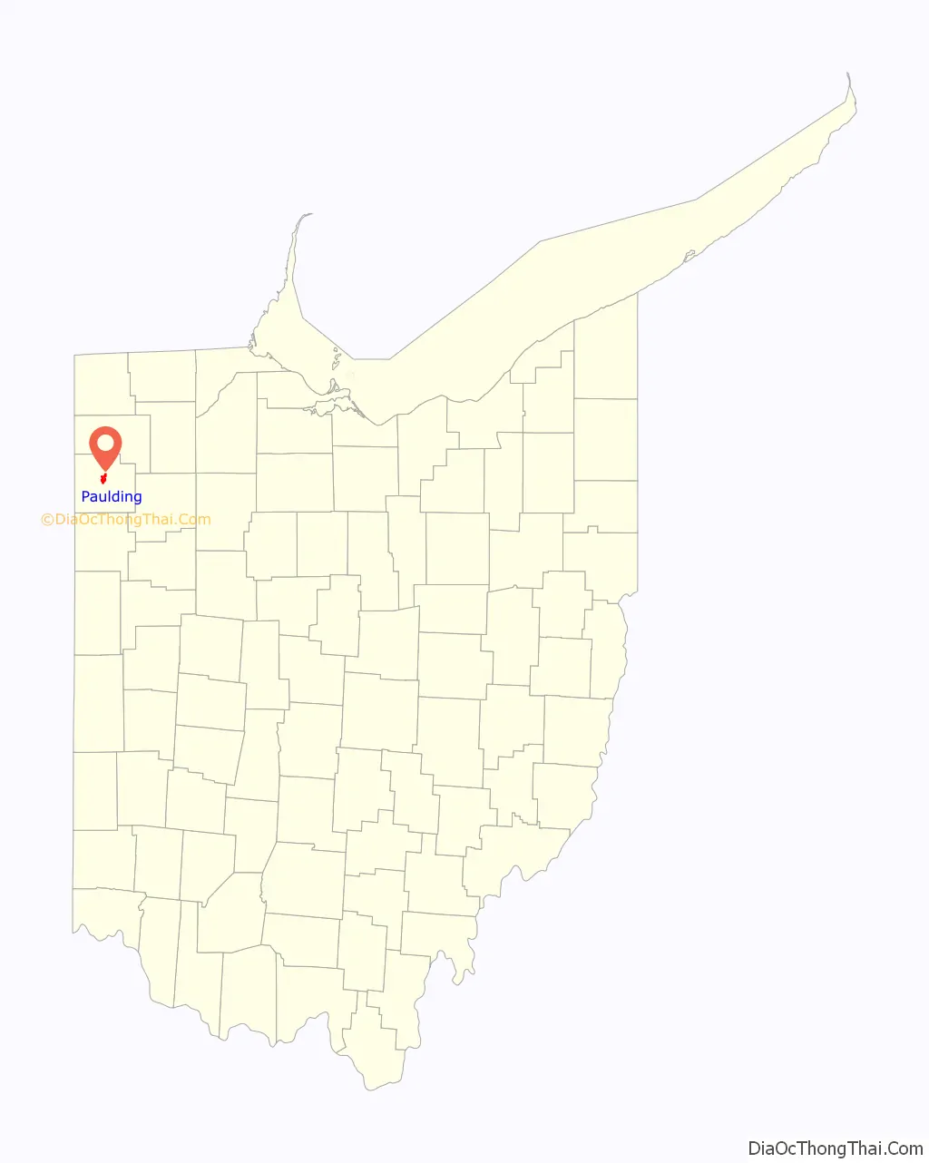
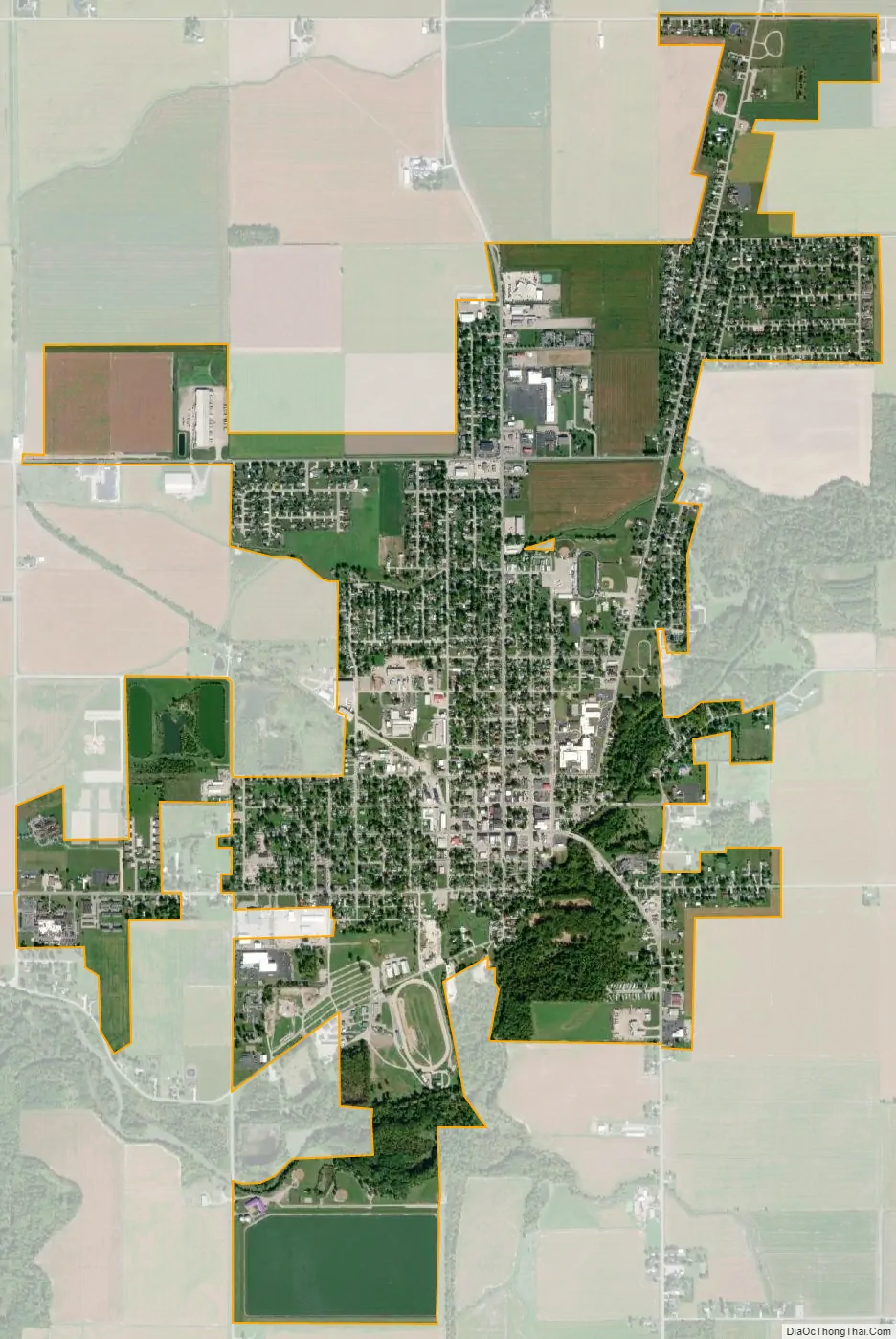
Paulding location map. Where is Paulding village?
History
Paulding was a planned community, founded in 1848 at the center of the county, and named after the county by speculators who expected to profit by moving the county seat. In 1851, the county seat was moved from Charloe, which had been the county seat for a decade; prior to that, court was held at New Rochester.
The town square is devoted to the courthouse, an orange brick structure surrounded by trees upon a spacious lawn. In the centennial year of 1876, the county commissioners determined to build a new courthouse, and visited many courthouses, finally deciding to erect a duplicate of the courthouse in Adrian, Michigan at a cost of $40,000. The courthouse was finished in 1886.
Built in the 1910s, the Paulding County Carnegie Library was the first Carnegie library to serve an entire county instead of a single city.
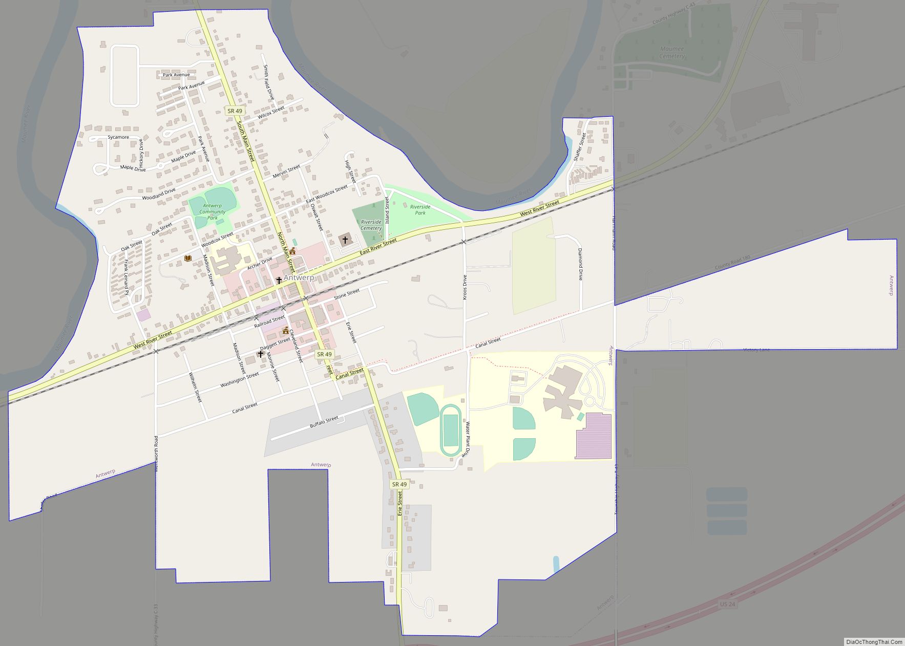
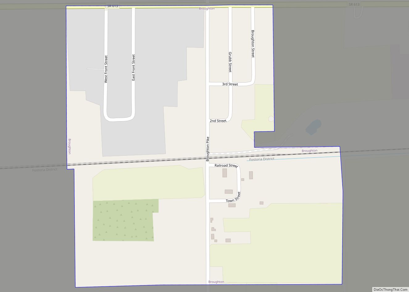
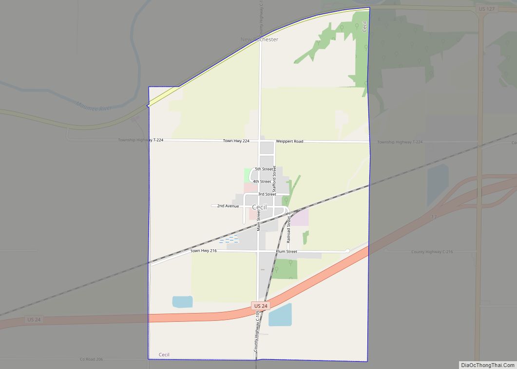
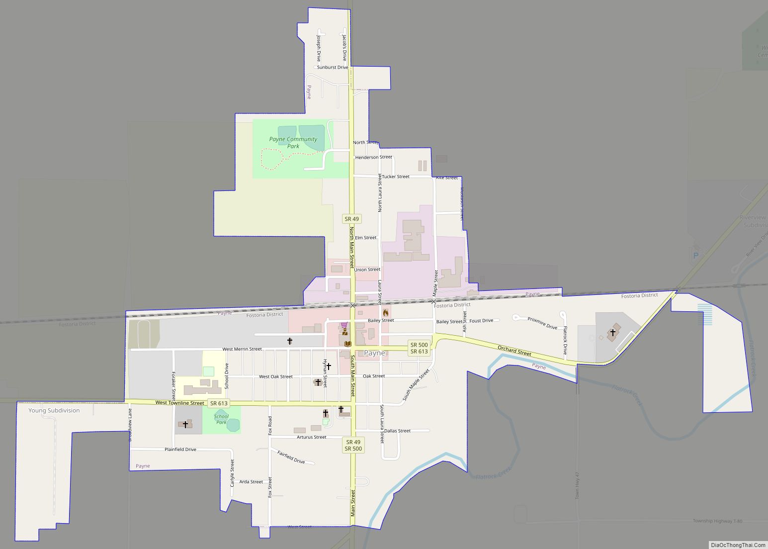
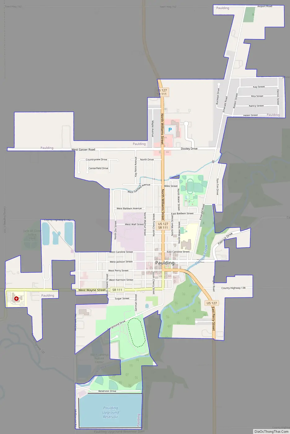
Paulding Road Map
Paulding city Satellite Map
Geography
Paulding is located at 41°08′30″N 84°34′53″W / 41.141689°N 84.581503°W / 41.141689; -84.581503.
According to the United States Census Bureau, the village has a total area of 2.46 square miles (6.37 km), of which 2.36 square miles (6.11 km) is land and 0.10 square miles (0.26 km) is water. It is 723 feet above sea level.
See also
Map of Ohio State and its subdivision:- Adams
- Allen
- Ashland
- Ashtabula
- Athens
- Auglaize
- Belmont
- Brown
- Butler
- Carroll
- Champaign
- Clark
- Clermont
- Clinton
- Columbiana
- Coshocton
- Crawford
- Cuyahoga
- Darke
- Defiance
- Delaware
- Erie
- Fairfield
- Fayette
- Franklin
- Fulton
- Gallia
- Geauga
- Greene
- Guernsey
- Hamilton
- Hancock
- Hardin
- Harrison
- Henry
- Highland
- Hocking
- Holmes
- Huron
- Jackson
- Jefferson
- Knox
- Lake
- Lake Erie
- Lawrence
- Licking
- Logan
- Lorain
- Lucas
- Madison
- Mahoning
- Marion
- Medina
- Meigs
- Mercer
- Miami
- Monroe
- Montgomery
- Morgan
- Morrow
- Muskingum
- Noble
- Ottawa
- Paulding
- Perry
- Pickaway
- Pike
- Portage
- Preble
- Putnam
- Richland
- Ross
- Sandusky
- Scioto
- Seneca
- Shelby
- Stark
- Summit
- Trumbull
- Tuscarawas
- Union
- Van Wert
- Vinton
- Warren
- Washington
- Wayne
- Williams
- Wood
- Wyandot
- Alabama
- Alaska
- Arizona
- Arkansas
- California
- Colorado
- Connecticut
- Delaware
- District of Columbia
- Florida
- Georgia
- Hawaii
- Idaho
- Illinois
- Indiana
- Iowa
- Kansas
- Kentucky
- Louisiana
- Maine
- Maryland
- Massachusetts
- Michigan
- Minnesota
- Mississippi
- Missouri
- Montana
- Nebraska
- Nevada
- New Hampshire
- New Jersey
- New Mexico
- New York
- North Carolina
- North Dakota
- Ohio
- Oklahoma
- Oregon
- Pennsylvania
- Rhode Island
- South Carolina
- South Dakota
- Tennessee
- Texas
- Utah
- Vermont
- Virginia
- Washington
- West Virginia
- Wisconsin
- Wyoming