Bedford is a city in Cuyahoga County, Ohio, United States located to the east of Cleveland. The population was 13,074 at the 2010 census. It is an eastern first ring suburb of Cleveland. Bedford city overview: Name: Bedford city LSAD Code: 25 LSAD Description: city (suffix) State: Ohio County: Cuyahoga County Elevation: 948 ft (289 m) Total ... Read more
Ohio Cities and Places
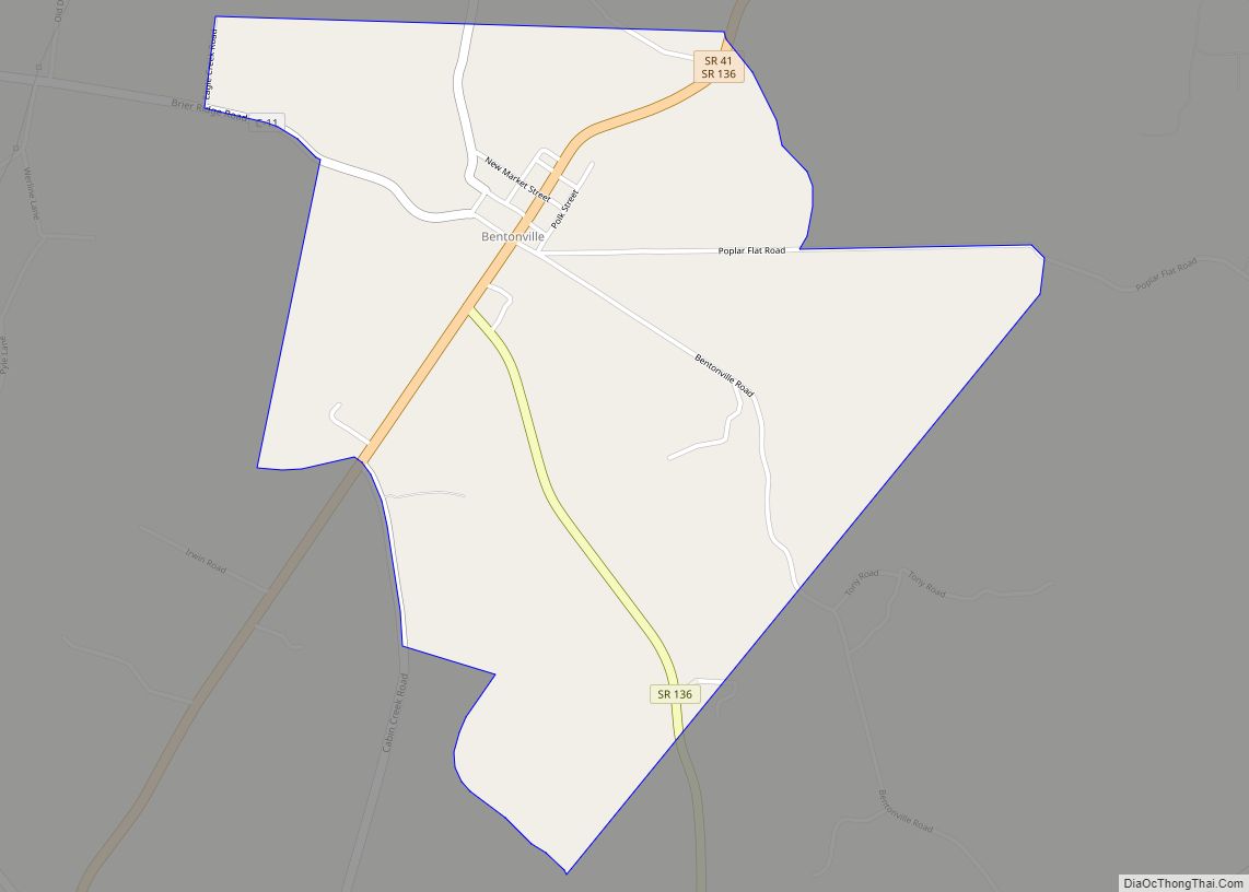
Bentonville is a census-designated place in northern Sprigg Township, Adams County, Ohio, United States. The population was 253 at the 2020 census. It has a post office with the ZIP code 45105. Bentonville is located on State Routes 41 and 136. They run concurrently through the community, splitting into separate routes at the south edge ... Read more
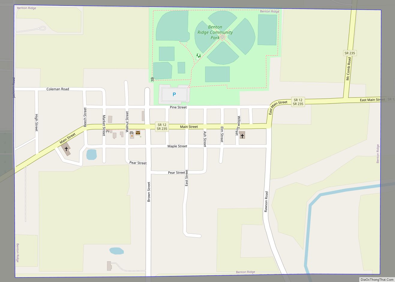
Benton Ridge is a village in Hancock County, Ohio, United States. The population was 299 at the 2010 census. It is within the boundaries of the Liberty-Benton Local School district. Benton Ridge village overview: Name: Benton Ridge village LSAD Code: 47 LSAD Description: village (suffix) State: Ohio County: Hancock County Elevation: 791 ft (241 m) Total Area: ... Read more
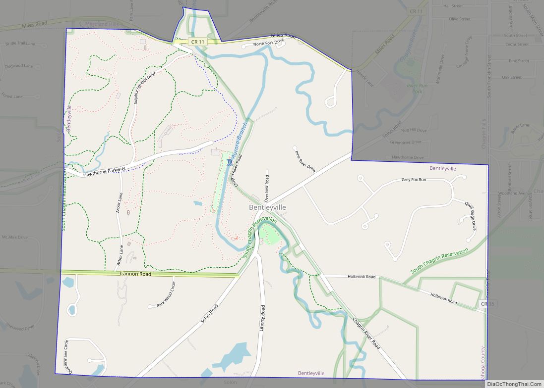
Bentleyville is a village in Cuyahoga County, Ohio, United States. The population was 864 at the 2010 census. Bentleyville was laid out in 1831 by Adamson Bentley, and named for him. Bentleyville village overview: Name: Bentleyville village LSAD Code: 47 LSAD Description: village (suffix) State: Ohio County: Cuyahoga County Elevation: 935 ft (285 m) Total Area: 2.59 sq mi ... Read more
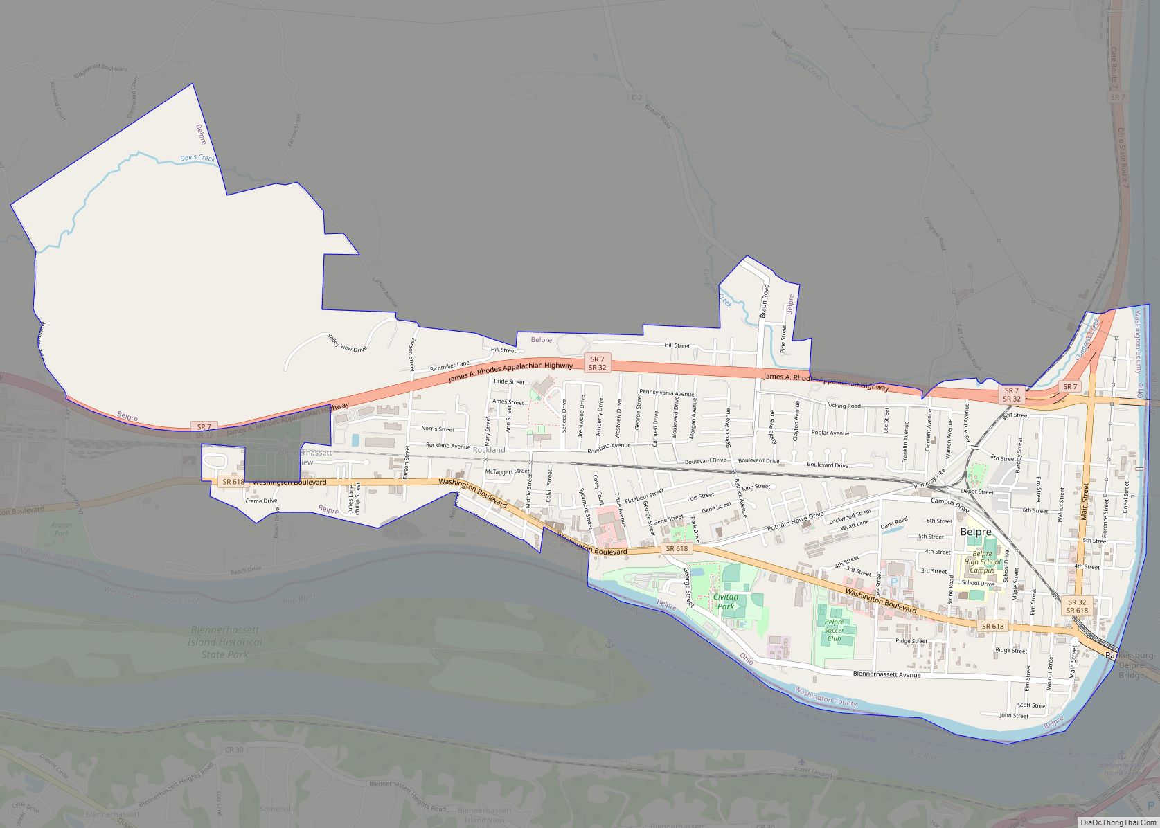
Belpre (historically spelled Belpré; pronounced /ˈbɛlpri/ BEL-pree) is a city in Washington County, Ohio, United States, along the Ohio River near Parkersburg, West Virginia. The population was 6,728 at the 2020 census. Its name derives from “Belle Prairie” (French for “beautiful meadow”), the name given to the valley by French trappers prior to the first ... Read more
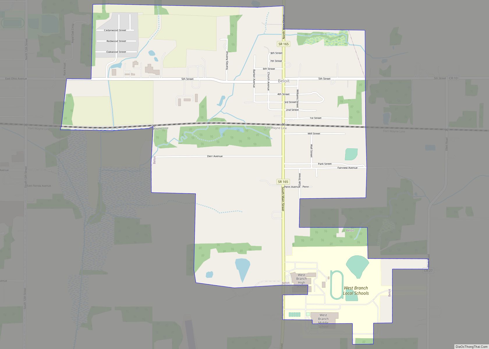
Beloit (/bəˈlɔɪt/ bə-LOYT) is a village in southwestern Mahoning County, Ohio, United States. The population was 903 at the 2020 census. It is part of the Youngstown–Warren metropolitan area. Beloit village overview: Name: Beloit village LSAD Code: 47 LSAD Description: village (suffix) State: Ohio County: Mahoning County Elevation: 1,129 ft (344 m) Total Area: 0.98 sq mi (2.55 km²) Land ... Read more
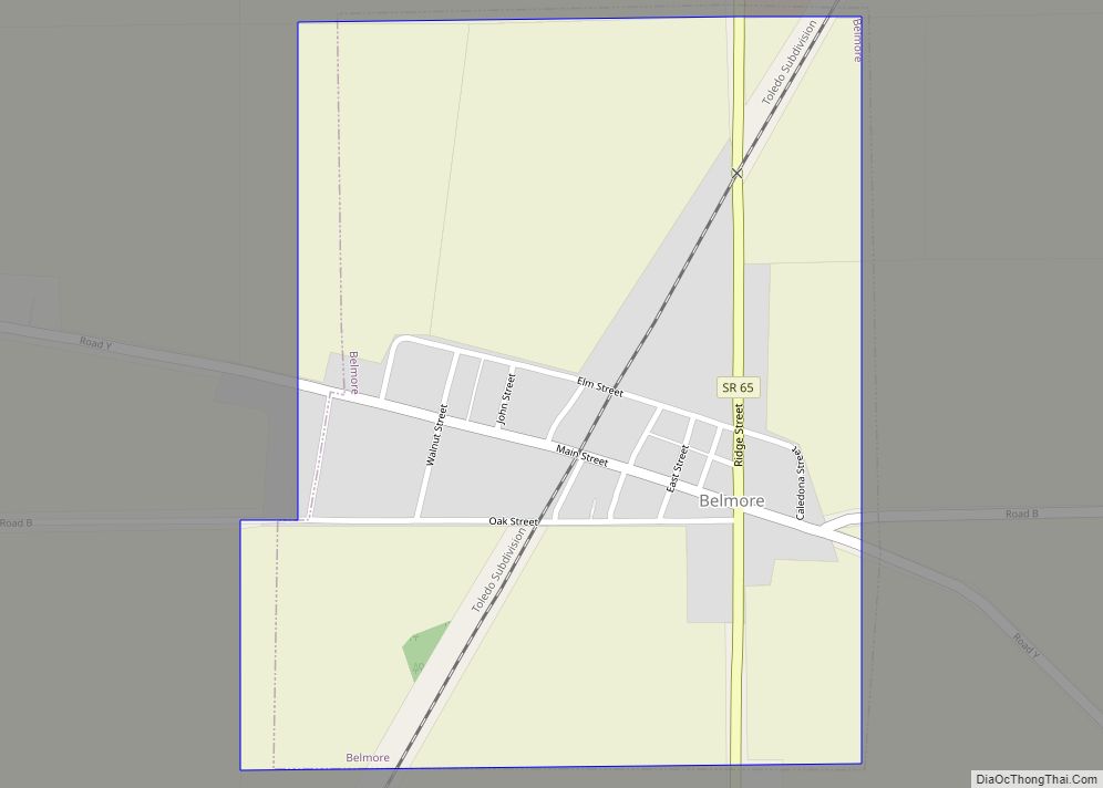
Belmore is a village in Putnam County, Ohio, United States. The population was 65 at the 2020 census. Belmore village overview: Name: Belmore village LSAD Code: 47 LSAD Description: village (suffix) State: Ohio County: Putnam County Elevation: 735 ft (224 m) Total Area: 0.44 sq mi (1.15 km²) Land Area: 0.44 sq mi (1.15 km²) Water Area: 0.00 sq mi (0.00 km²) Total Population: 65 Population ... Read more
Belmont is a village in central Belmont County, Ohio, United States. The population was 414 at the 2020 census. It is part of the Wheeling metropolitan area. Belmont village overview: Name: Belmont village LSAD Code: 47 LSAD Description: village (suffix) State: Ohio County: Belmont County Elevation: 1,191 ft (363 m) Total Area: 0.27 sq mi (0.69 km²) Land Area: 0.27 sq mi ... Read more
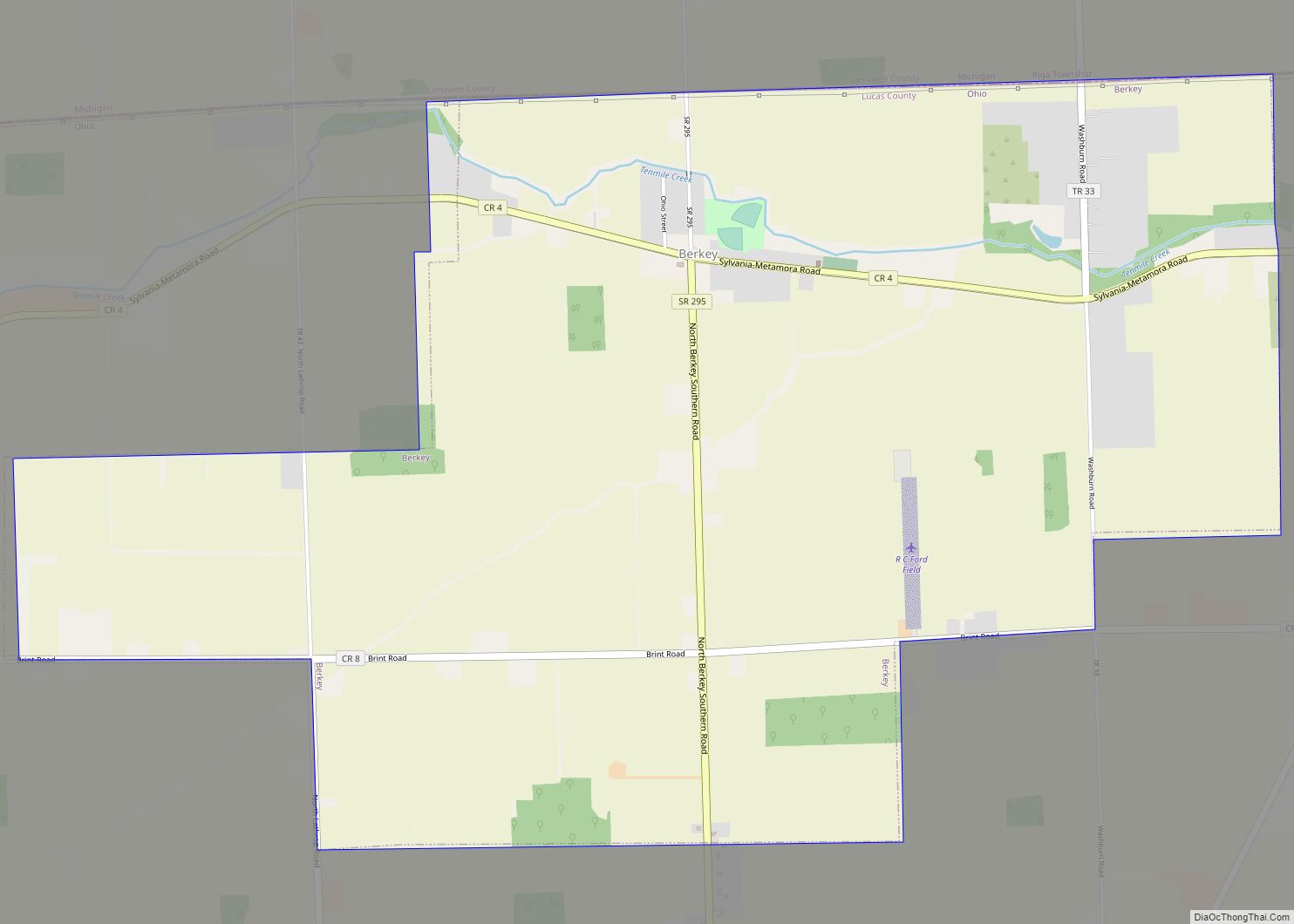
Berkey is a village in Lucas County, Ohio, United States. The population was 237 at the 2010 census. Berkey village overview: Name: Berkey village LSAD Code: 47 LSAD Description: village (suffix) State: Ohio County: Lucas County Elevation: 699 ft (213 m) Total Area: 4.24 sq mi (10.98 km²) Land Area: 4.24 sq mi (10.98 km²) Water Area: 0.00 sq mi (0.00 km²) Total Population: 275 Population ... Read more
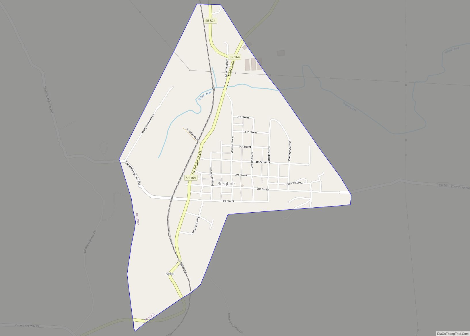
Bergholz (/ˈbɜːrɡhoʊlz/) is a village in northwestern Jefferson County, Ohio, United States. The population was 544 at the 2020 census. The village’s name is German and translates to “mountain timber”. It is part of the Weirton–Steubenville metropolitan area. Bergholz village overview: Name: Bergholz village LSAD Code: 47 LSAD Description: village (suffix) State: Ohio County: Jefferson ... Read more
Berea (/bəˈriːə/ bə-REE-ə) is a city in Cuyahoga County in the U.S. state of Ohio and is a western suburb of Cleveland. The population was 19,093 at the 2010 census. Berea is home to Baldwin Wallace University, as well as the training facility for the Cleveland Browns and the Cuyahoga County Fairgrounds. Also near Berea ... Read more
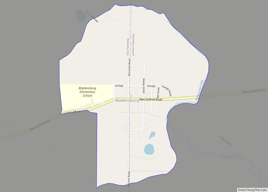
Bladensburg is a census-designated place (CDP) on the border between Clay and Jackson townships, Knox County, Ohio, United States. As of the 2010 census the CDP had a population of 191. It has a post office with the ZIP code 43005. It lies along State Route 541 east of Martinsburg. Bladensburg CDP overview: Name: Bladensburg ... Read more

