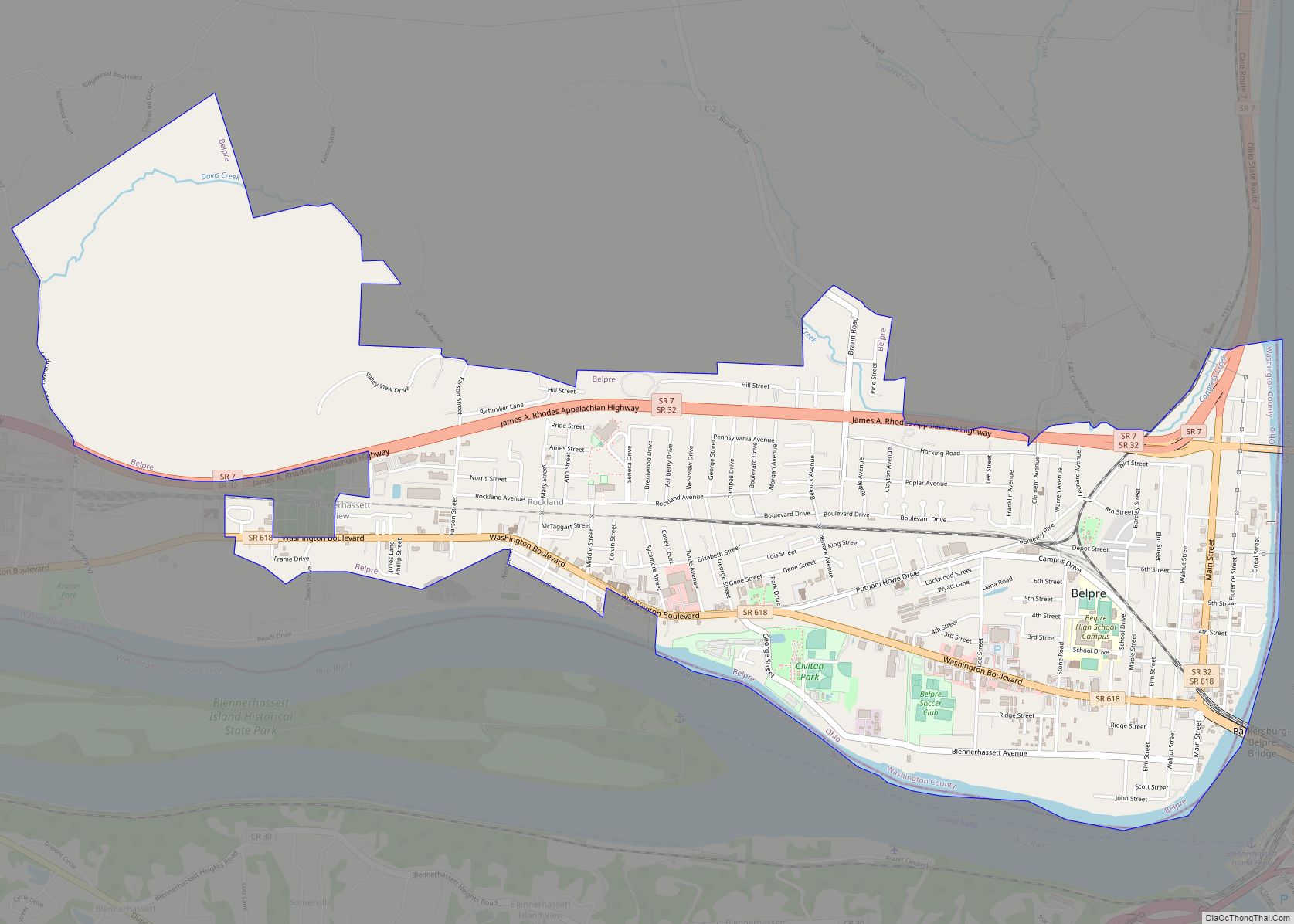
Belpre (historically spelled Belpré; pronounced /ˈbɛlpri/ BEL-pree) is a city in Washington County, Ohio, United States, along the Ohio River near Parkersburg, West Virginia. The population was 6,728 at the 2020 census. Its name derives from “Belle Prairie” (French for “beautiful meadow”), the name given to the valley by French trappers prior to the first American settlement at the site.
Belpre was the second settlement founded in the Northwest Territory after Marietta. The city is home to the first library established in the Territory. Its public school hired the first female schoolteacher in Ohio. Part of the Marietta micropolitan area, the city is located about 14 miles (22 km) downriver from Marietta. In 1870, the Baltimore and Ohio Railroad completed the Parkersburg Bridge (CSX) across the river; at 7,140 feet (2,180 m), it was reportedly the longest in the world.
| Name: | Belpre city |
|---|---|
| LSAD Code: | 25 |
| LSAD Description: | city (suffix) |
| State: | Ohio |
| County: | Washington County |
| Elevation: | 614 ft (187 m) |
| Total Area: | 3.57 sq mi (9.24 km²) |
| Land Area: | 3.48 sq mi (9.03 km²) |
| Water Area: | 0.08 sq mi (0.21 km²) |
| Total Population: | 6,728 |
| Population Density: | 1,930.56/sq mi (745.42/km²) |
| ZIP code: | 45714 |
| Area code: | 740 |
| FIPS code: | 3905424 |
| GNISfeature ID: | 1077518 |
| Website: | https://www.cityofbelpre.com/ |
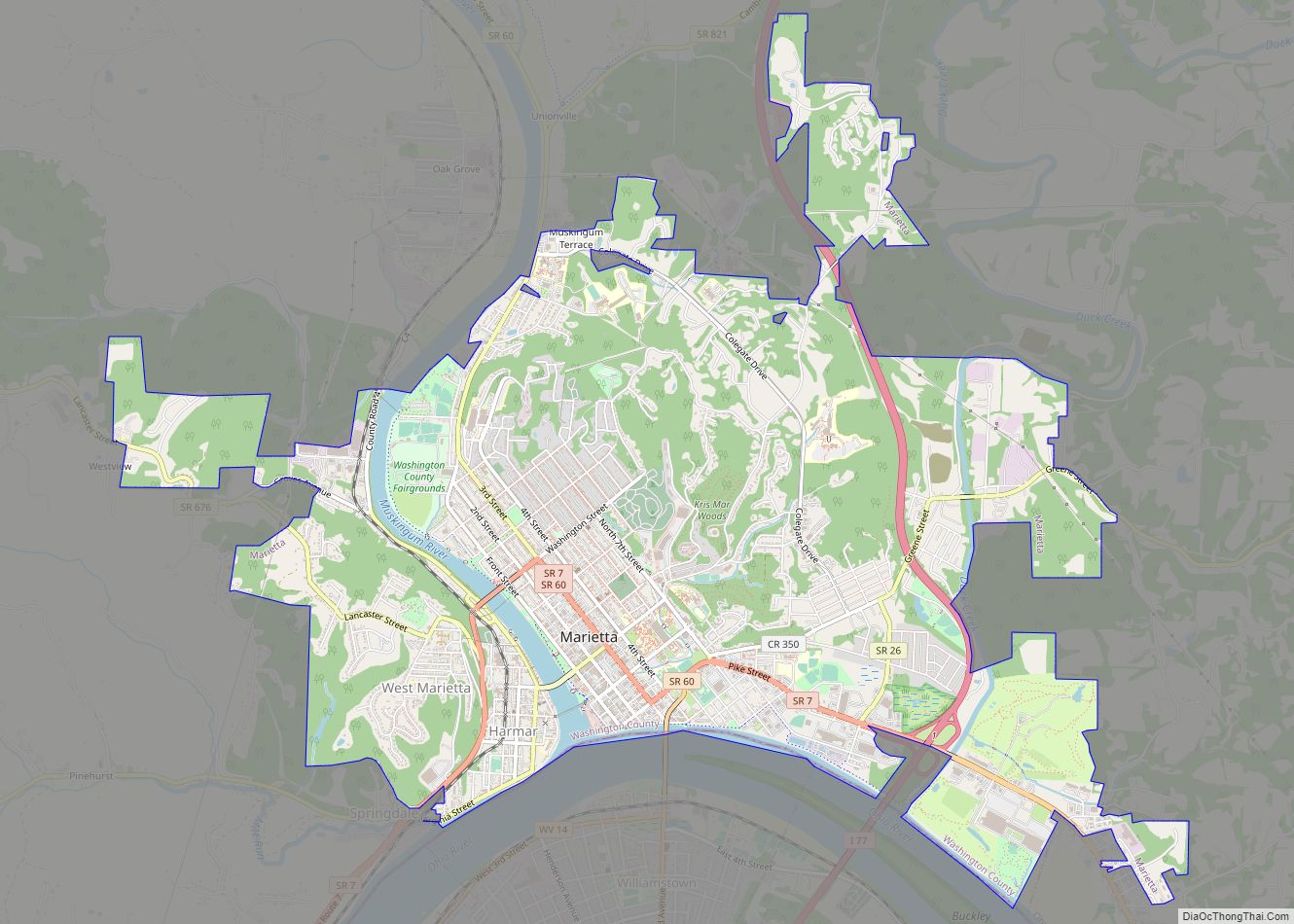
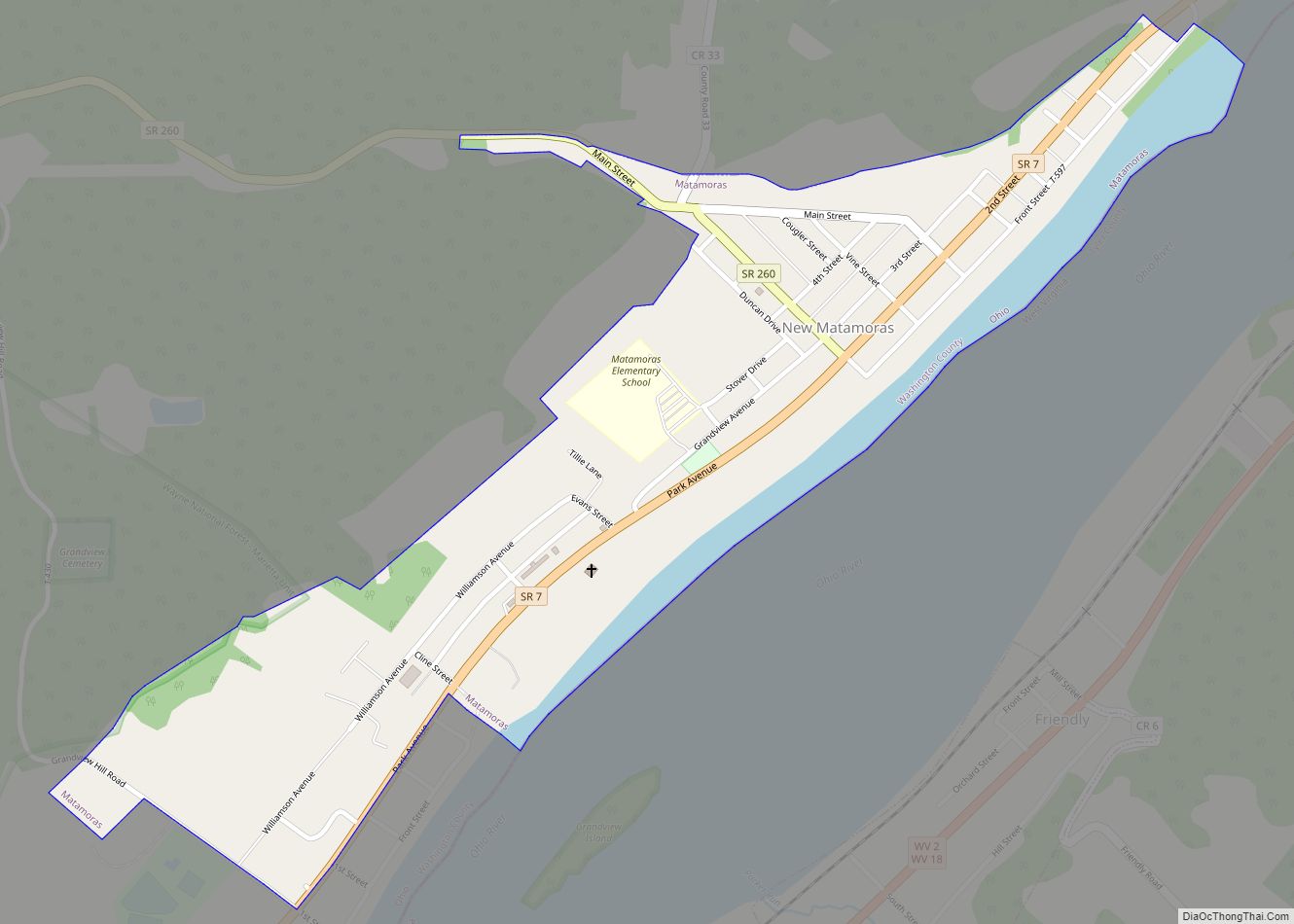
Online Interactive Map
Click on ![]() to view map in "full screen" mode.
to view map in "full screen" mode.
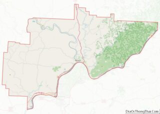
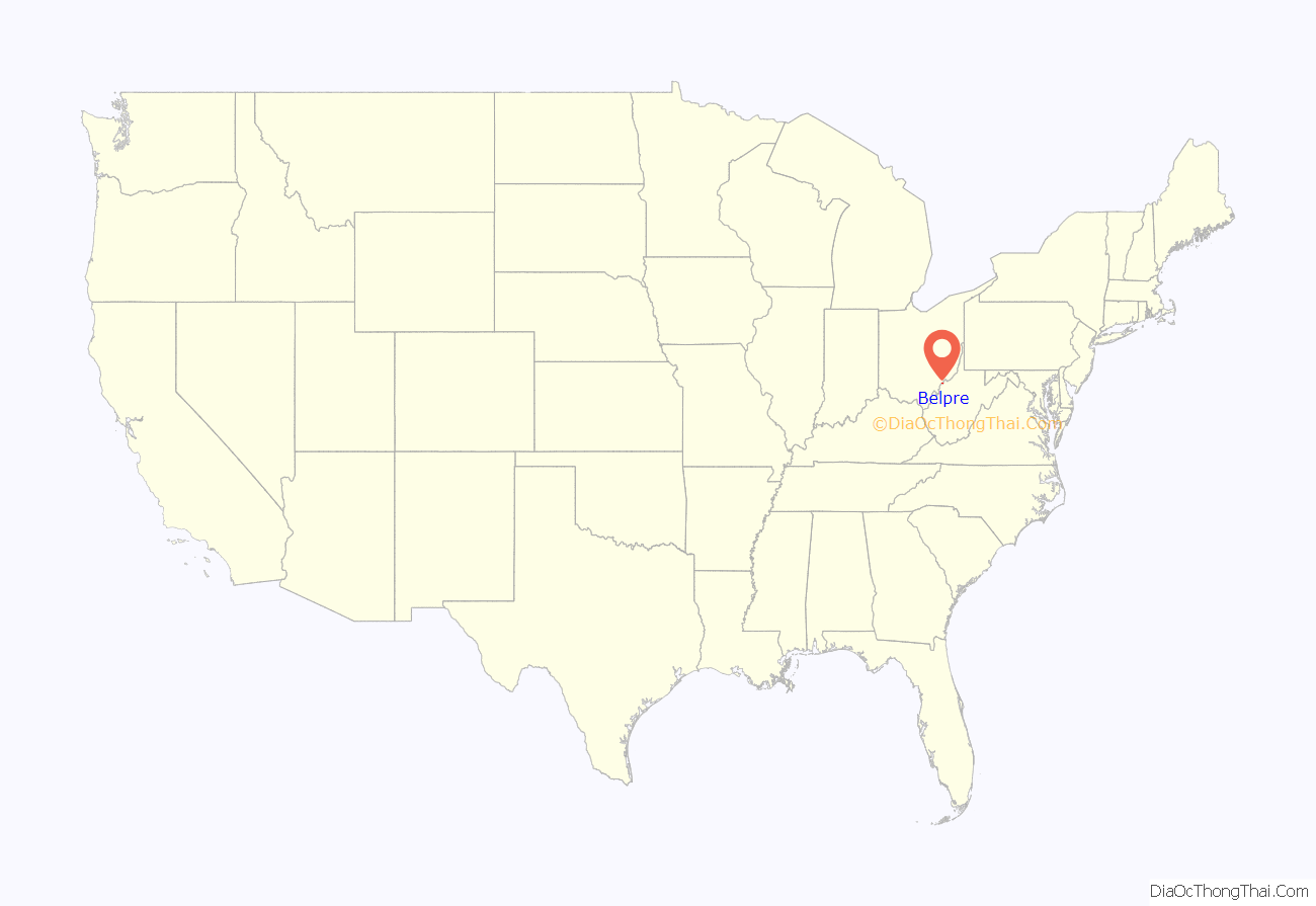
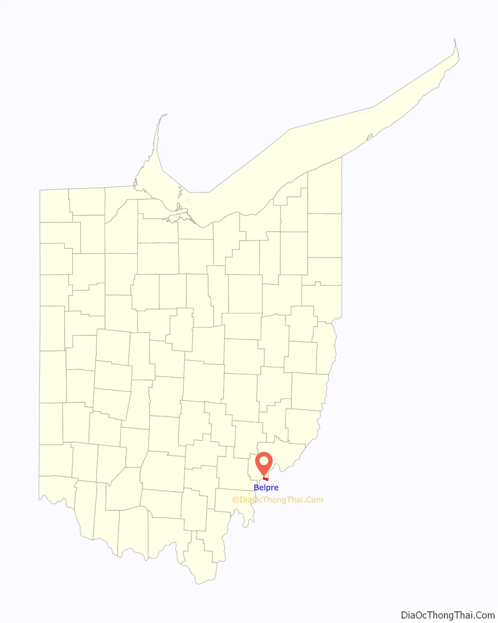
Belpre location map. Where is Belpre city?
History
The first settlement at Belpre was made in 1788. In 1845 railroad developers founded the Belpre and Cincinnati Railroad, but the destination was changed to Marietta, with a corresponding name change in 1851. For a considerable period of time, travelers had to go by steamboat to connect between Marietta and Parkersburg, Virginia; the latter received service from the Baltimore and Ohio Railroad in 1857. This was shortly before the western part of Virginia seceded in 1861 after the start of the American Civil War to form Unionist West Virginia. Belpre and Marietta were later connected by rail. Coal service is still active on this line.
From 1868–1870, the B&O built the Parkersburg Bridge (CSX) between West Virginia and Belpre, on its main line to St. Louis, Missouri. Designed by Jacob Linville, when completed in 1870 the bridge was reportedly the longest in the world at 7,140 feet (2,180 m). The bridge attracted more trade to the town, enabled shipping Ohio coal to the East Coast, and improved access on both sides of the river.
Developing in a different pattern from the more industrial cities of eastern Ohio, Belpre reached its peak of population in 1980. It has had some losses since then with the decline of heavy industry, but is relatively stable compared to the former industrial cities, which have lost half their residents since peaks in 1940 and 1950. A small settlement, Rockland, has been absorbed into the Belpre community.
The Steven Soderbergh film Bubble (2006) was filmed in Belpre and Parkersburg, West Virginia, using an all-local cast.
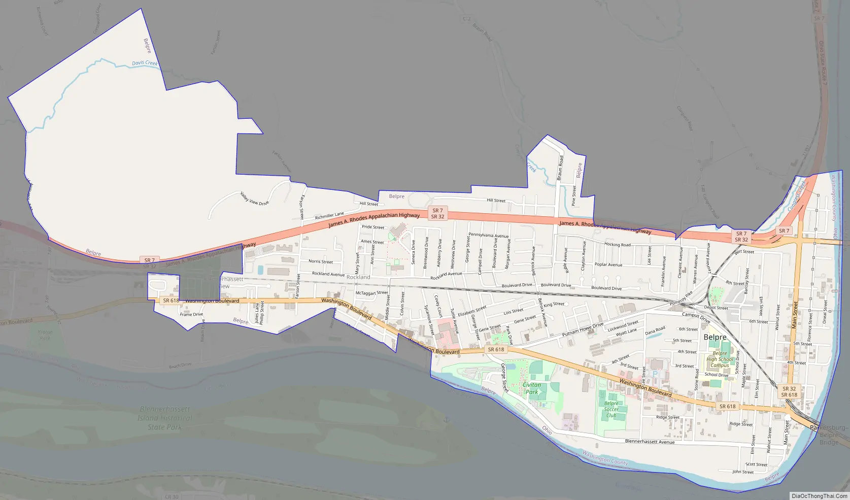
Belpre Road Map
Belpre city Satellite Map
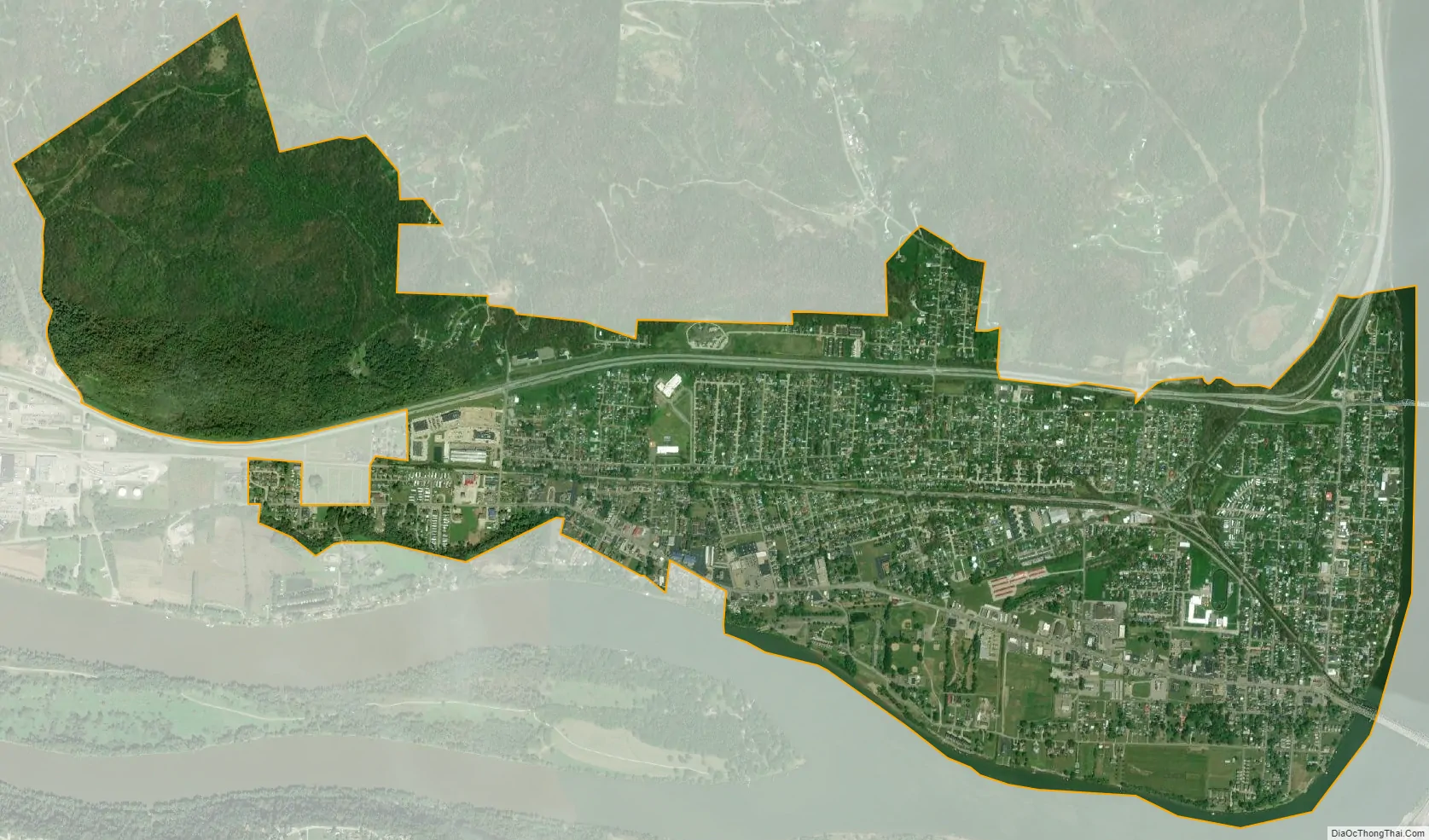
Geography
Belpre is located at 39°16′49″N 81°35′6″W / 39.28028°N 81.58500°W / 39.28028; -81.58500 (39.280175, -81.585072).
According to the United States Census Bureau, the city has a total area of 3.57 square miles (9.25 km), of which 3.49 square miles (9.04 km) is land and 0.08 square miles (0.21 km) is water.
See also
Map of Ohio State and its subdivision:- Adams
- Allen
- Ashland
- Ashtabula
- Athens
- Auglaize
- Belmont
- Brown
- Butler
- Carroll
- Champaign
- Clark
- Clermont
- Clinton
- Columbiana
- Coshocton
- Crawford
- Cuyahoga
- Darke
- Defiance
- Delaware
- Erie
- Fairfield
- Fayette
- Franklin
- Fulton
- Gallia
- Geauga
- Greene
- Guernsey
- Hamilton
- Hancock
- Hardin
- Harrison
- Henry
- Highland
- Hocking
- Holmes
- Huron
- Jackson
- Jefferson
- Knox
- Lake
- Lake Erie
- Lawrence
- Licking
- Logan
- Lorain
- Lucas
- Madison
- Mahoning
- Marion
- Medina
- Meigs
- Mercer
- Miami
- Monroe
- Montgomery
- Morgan
- Morrow
- Muskingum
- Noble
- Ottawa
- Paulding
- Perry
- Pickaway
- Pike
- Portage
- Preble
- Putnam
- Richland
- Ross
- Sandusky
- Scioto
- Seneca
- Shelby
- Stark
- Summit
- Trumbull
- Tuscarawas
- Union
- Van Wert
- Vinton
- Warren
- Washington
- Wayne
- Williams
- Wood
- Wyandot
- Alabama
- Alaska
- Arizona
- Arkansas
- California
- Colorado
- Connecticut
- Delaware
- District of Columbia
- Florida
- Georgia
- Hawaii
- Idaho
- Illinois
- Indiana
- Iowa
- Kansas
- Kentucky
- Louisiana
- Maine
- Maryland
- Massachusetts
- Michigan
- Minnesota
- Mississippi
- Missouri
- Montana
- Nebraska
- Nevada
- New Hampshire
- New Jersey
- New Mexico
- New York
- North Carolina
- North Dakota
- Ohio
- Oklahoma
- Oregon
- Pennsylvania
- Rhode Island
- South Carolina
- South Dakota
- Tennessee
- Texas
- Utah
- Vermont
- Virginia
- Washington
- West Virginia
- Wisconsin
- Wyoming