St. Marys is a city in Auglaize County, Ohio, United States. Located in western Ohio, it is 11 miles (18 km) west of Wapakoneta and 20 miles (32 km) east of the Ohio/Indiana border. The city is located on a portage between the St. Marys and Auglaize river systems, which was a significant factor in its development ... Read more
Ohio Cities and Places
St. Martin is an unincorporated community and former village in Brown County, Ohio, United States. The community is served by the Fayetteville (45118) post office. The population was 129 at the 2010 census. In November 2011, voters chose to unincorporate St. Martin, and it now falls solely under the jurisdiction of Perry Township. St. Martin ... Read more
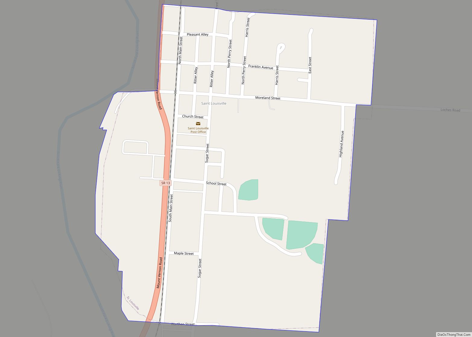
St. Louisville is a village in Licking County, Ohio, United States, along the North Fork of the Licking River. The population was 373 at the 2010 census. St. Louisville was platted in 1839. St. Louisville village overview: Name: St. Louisville village LSAD Code: 47 LSAD Description: village (suffix) State: Ohio County: Licking County Elevation: 902 ft ... Read more
Saint Johns is a census-designated place located along the border between the Union and Clay townships of Auglaize County, Ohio, United States. As of the 2010 census it had a population of 185. It is located between Indian Lake and Wapakoneta at the intersection of U.S. Route 33 and State Route 65. Served by the ... Read more
St. Henry is a village in Mercer County, Ohio, United States. The population was 2,596 at the 2020 census. St. Henry village overview: Name: St. Henry village LSAD Code: 47 LSAD Description: village (suffix) State: Ohio County: Mercer County Elevation: 971 ft (296 m) Total Area: 1.77 sq mi (4.59 km²) Land Area: 1.73 sq mi (4.47 km²) Water Area: 0.05 sq mi (0.12 km²) Total ... Read more
Stockport is a village in Morgan County, Ohio, United States, along the Muskingum River. The population was 483 at the 2020 census. Stockport village overview: Name: Stockport village LSAD Code: 47 LSAD Description: village (suffix) State: Ohio County: Morgan County Elevation: 692 ft (211 m) Total Area: 0.33 sq mi (0.85 km²) Land Area: 0.33 sq mi (0.85 km²) Water Area: 0.00 sq mi (0.00 km²) ... Read more
Stockdale is an unincorporated community and census-designated place in southern Marion Township, Pike County, Ohio, United States. Stockdale has a post office with the ZIP code 45683. Stockdale is served by the Minford Telephone Company and Eastern Local Schools. Baseball Hall of Famer Branch Rickey was born in Stockdale in 1881. IndyCar Driver Zach Veach ... Read more
Streetsboro is a city in western Portage County, Ohio, United States. The population was 17,260 at the 2020 census. It is part of the Akron metropolitan area. The city was formed from the former Streetsboro Township of the Connecticut Western Reserve. Streetsboro city overview: Name: Streetsboro city LSAD Code: 25 LSAD Description: city (suffix) State: ... Read more
Stratton is a village in northern Jefferson County, Ohio, United States, along the Ohio River. The population was 267 at the 2020 census. It is part of the Weirton–Steubenville metropolitan area. Stratton village overview: Name: Stratton village LSAD Code: 47 LSAD Description: village (suffix) State: Ohio County: Jefferson County Elevation: 659 ft (201 m) Total Area: 0.54 sq mi ... Read more
Strasburg is a village in Tuscarawas County, Ohio, United States. The population was 2,608 at the 2010 census. Strasburg is the location of the Lynn Auto Theatre and Strasburg-Franklin High School. Strasburg village overview: Name: Strasburg village LSAD Code: 47 LSAD Description: village (suffix) State: Ohio County: Tuscarawas County Elevation: 912 ft (278 m) Total Area: 1.44 sq mi ... Read more
Stow is a city in Summit County, Ohio, United States. The population was 34,483 at the 2020 census. It is a suburban community within the Akron metropolitan area. Stow city overview: Name: Stow city LSAD Code: 25 LSAD Description: city (suffix) State: Ohio County: Summit County Founded: 1804 Incorporated: 1957 Elevation: 1,093 ft (333 m) Total Area: ... Read more
Stoutsville is a village in Fairfield County, Ohio, United States. The population was 560 at the 2010 census. Stoutsville village overview: Name: Stoutsville village LSAD Code: 47 LSAD Description: village (suffix) State: Ohio County: Fairfield County Elevation: 971 ft (296 m) Total Area: 1.16 sq mi (2.99 km²) Land Area: 1.16 sq mi (2.99 km²) Water Area: 0.00 sq mi (0.00 km²) Total Population: 579 Population ... Read more