Stow is a city in Summit County, Ohio, United States. The population was 34,483 at the 2020 census. It is a suburban community within the Akron metropolitan area.
| Name: | Stow city |
|---|---|
| LSAD Code: | 25 |
| LSAD Description: | city (suffix) |
| State: | Ohio |
| County: | Summit County |
| Founded: | 1804 |
| Incorporated: | 1957 |
| Elevation: | 1,093 ft (333 m) |
| Total Area: | 17.31 sq mi (44.84 km²) |
| Land Area: | 17.09 sq mi (44.25 km²) |
| Water Area: | 0.23 sq mi (0.59 km²) |
| Total Population: | 34,483 |
| Population Density: | 2,018.20/sq mi (779.25/km²) |
| ZIP code: | 44224 |
| Area code: | 330, 234 |
| FIPS code: | 3974944 |
| GNISfeature ID: | 1065392 |
| Website: | stow.oh.us |
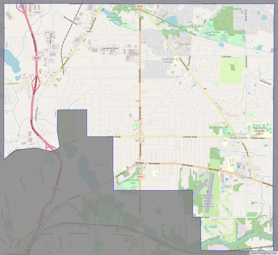
Online Interactive Map
Click on ![]() to view map in "full screen" mode.
to view map in "full screen" mode.
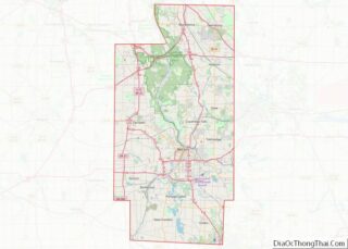
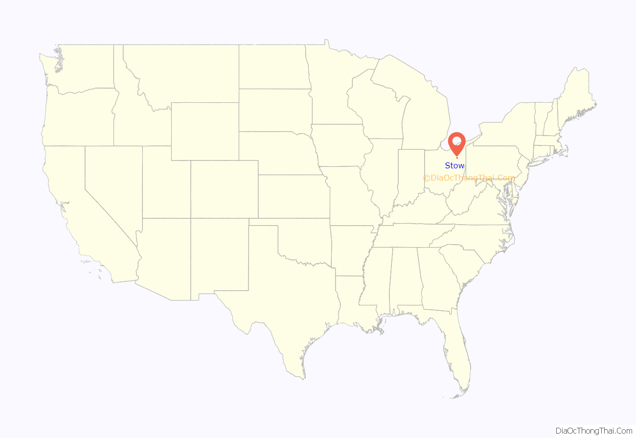
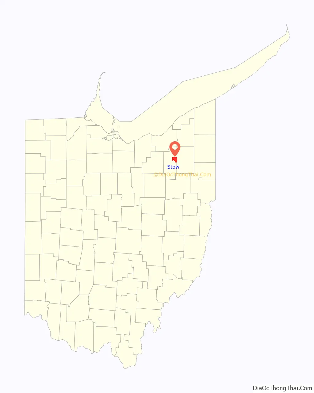
Stow location map. Where is Stow city?
History
Stow is named for Joshua Stow, its original proprietor. Joshua Stow was a member of the party led by Moses Cleaveland to survey the lands of the Connecticut Western Reserve around present-day Cleveland in 1796. He was a native of Middletown, Connecticut, however, and never lived in Stow, though he spent both time and money developing the township and is quoted as saying it was “one of the prettiest and most romantic spots in the Western Reserve.” The land that would eventually be known as Stow Township was the survey township “Town 3, Range 10” of the Western Reserve and was initially 25 square miles (65 km). It was purchased by Joshua Stow for $14,154. Prior to the arrival of European settlers, the area around what is now Stow was inhabited by a tribe of Seneca Native Americans at a small settlement in the area that is now part of the neighboring village of Silver Lake.
The first settler in Stow Township was William Walker, who arrived in 1802. Walker built a cabin just south of the land of his father Robert in Hudson Township mistakenly believing he was building in Hudson. In 1804, when Stow Township was separated from Hudson Township and surveyed into lots by Joseph Darrow, it was discovered his house was actually in Stow Township. Walker purchased the lot his home was on and continued to live there. Darrow had been hired by Joshua Stow’s land agent William Wetmore, a settler also from Middletown, Connecticut, who moved to Stow in 1804 with his family and several other settlers. The Wetmores built a cabin in July 1804 near the center of Stow Township and the present-day intersection of Darrow Road and Kent Road. In 1808, the Wetmores built a home near the Seneca settlement in what is now Silver Lake. The house overlooked a small lake, known as Silver Lake since 1874, that was known earlier as Wetmore Pond or Stow Lake. Stow Township was formally organized in 1808 with the first election held in 1811. 1808 was also the year it was made part of the original Portage County. It remained as part of Portage County until it was included in the new Summit County in 1840.
Most of the original 25-square-mile (65 km) township is part of the present city of Stow, but parts of the original township form all or part of three neighboring communities. Munroe Falls was settled in 1809 as “Kelsey Mills” in the southern part of Stow Township and incorporated as a village in 1838. Cuyahoga Falls was developed on land owned by Wetmore and Joshua Stow beginning in 1825 in the southwestern part of the township and became a town in 1837. In 1851, Cuyahoga Falls Township was created, taking the southwest corner of Stow Township along with parts of three neighboring townships. Cuyahoga Falls incorporated as a village in 1868 and later annexed additional portions of Stow Township in the 19th and 20th centuries, as did Munroe Falls. Silver Lake incorporated as a village in 1918 on land that had previously been part of Stow Township. The remainder of Stow Township incorporated in 1957 as a village and became a city following the 1960 United States Census.
Stow Road Map
Stow city Satellite Map

Geography
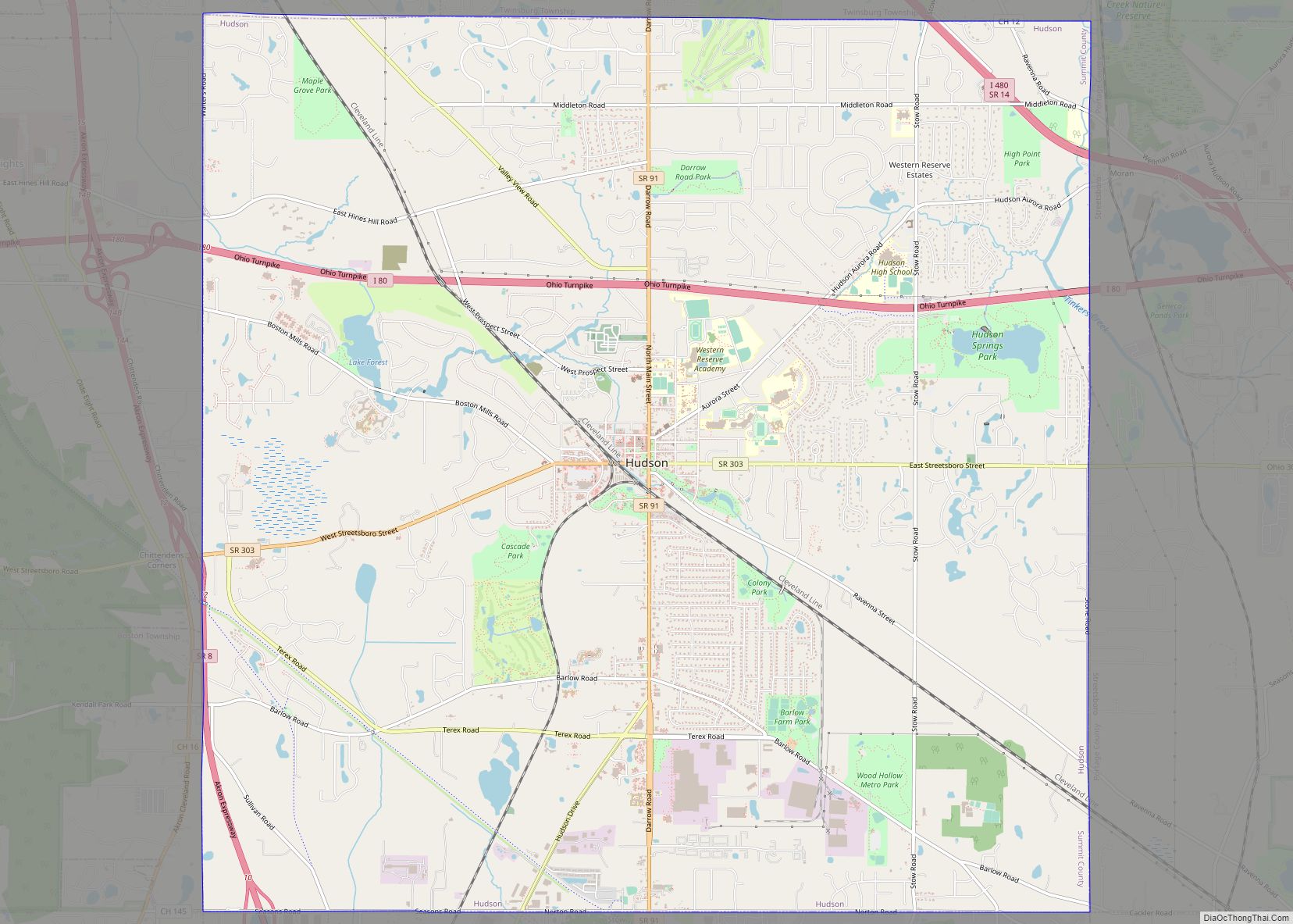
Stow is a suburb of Akron and is in east-central Summit County on the border with Portage County. It directly borders Kent to the east, Tallmadge and Munroe Falls to the south, Hudson to the north, and Cuyahoga Falls to the west and south. On the northwest corner, it touches Boston Township, with Streetsboro on the northeast corner and Brimfield Township on the southeast. According to the United States Census Bureau, the city has a total area of 17.32 square miles (44.86 km), of which 17.09 square miles (44.26 km) is land and 0.23 square miles (0.60 km) is water.
Stow’s climate is classified as a humid continental climate in the Dfa Köppen climate classification meaning it typically has very warm, humid summers and cold, snowy winters, with moderate and variable spring and autumn seasons. The city is not considered part of the Lake Erie snowbelt, though lake-effect snow does occur at times. Stow is in the “secondary snowbelt,” meaning it will receive heavier snowfalls from lake-effect snow when certain wind directions are more prevalent, but typically sees far less snow than areas to the north closer to Lake Erie.
See also
Map of Ohio State and its subdivision:- Adams
- Allen
- Ashland
- Ashtabula
- Athens
- Auglaize
- Belmont
- Brown
- Butler
- Carroll
- Champaign
- Clark
- Clermont
- Clinton
- Columbiana
- Coshocton
- Crawford
- Cuyahoga
- Darke
- Defiance
- Delaware
- Erie
- Fairfield
- Fayette
- Franklin
- Fulton
- Gallia
- Geauga
- Greene
- Guernsey
- Hamilton
- Hancock
- Hardin
- Harrison
- Henry
- Highland
- Hocking
- Holmes
- Huron
- Jackson
- Jefferson
- Knox
- Lake
- Lake Erie
- Lawrence
- Licking
- Logan
- Lorain
- Lucas
- Madison
- Mahoning
- Marion
- Medina
- Meigs
- Mercer
- Miami
- Monroe
- Montgomery
- Morgan
- Morrow
- Muskingum
- Noble
- Ottawa
- Paulding
- Perry
- Pickaway
- Pike
- Portage
- Preble
- Putnam
- Richland
- Ross
- Sandusky
- Scioto
- Seneca
- Shelby
- Stark
- Summit
- Trumbull
- Tuscarawas
- Union
- Van Wert
- Vinton
- Warren
- Washington
- Wayne
- Williams
- Wood
- Wyandot
- Alabama
- Alaska
- Arizona
- Arkansas
- California
- Colorado
- Connecticut
- Delaware
- District of Columbia
- Florida
- Georgia
- Hawaii
- Idaho
- Illinois
- Indiana
- Iowa
- Kansas
- Kentucky
- Louisiana
- Maine
- Maryland
- Massachusetts
- Michigan
- Minnesota
- Mississippi
- Missouri
- Montana
- Nebraska
- Nevada
- New Hampshire
- New Jersey
- New Mexico
- New York
- North Carolina
- North Dakota
- Ohio
- Oklahoma
- Oregon
- Pennsylvania
- Rhode Island
- South Carolina
- South Dakota
- Tennessee
- Texas
- Utah
- Vermont
- Virginia
- Washington
- West Virginia
- Wisconsin
- Wyoming