Steubenville is a city in and the county seat of Jefferson County, Ohio, United States. Located along the Ohio River 33 miles west of Pittsburgh, it had a population of 18,161 at the 2020 census. The city’s name is derived from Fort Steuben, a 1786 fort that sat within the city’s current limits and was named for Prussian military officer Baron Friedrich Wilhelm von Steuben. It is a principal city of the Weirton–Steubenville metropolitan area, which had a 2020 population of 116,903 residents.
Steubenville’s nickname is the “City of Murals”, after its more than 25 downtown murals. Both the campuses of Franciscan University of Steubenville and Eastern Gateway Community College are in Steubenville. Historically, it was known as the birthplace and home town of Edwin Stanton, Secretary of War during the American Civil War. It is also known as the city where legendary entertainer Dean Martin of the Rat Pack was born and raised. It has recently attracted attention for the Steubenville Nutcracker Village, an annual Christmastime event.
| Name: | Steubenville city |
|---|---|
| LSAD Code: | 25 |
| LSAD Description: | city (suffix) |
| State: | Ohio |
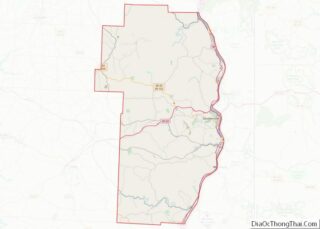
| County: | Jefferson County |
| Founded: | 1795 |
| Elevation: | 1,050 ft (320 m) |
| Land Area: | 10.54 sq mi (27.29 km²) |
| Water Area: | 0.08 sq mi (0.21 km²) |
| Population Density: | 1,723.55/sq mi (665.46/km²) |
| ZIP code: | 43952-43953 |
| Area code: | 740, 220 |
| FIPS code: | 3974608 |
| GNISfeature ID: | 1065383 |
| Website: | cityofsteubenville.us |
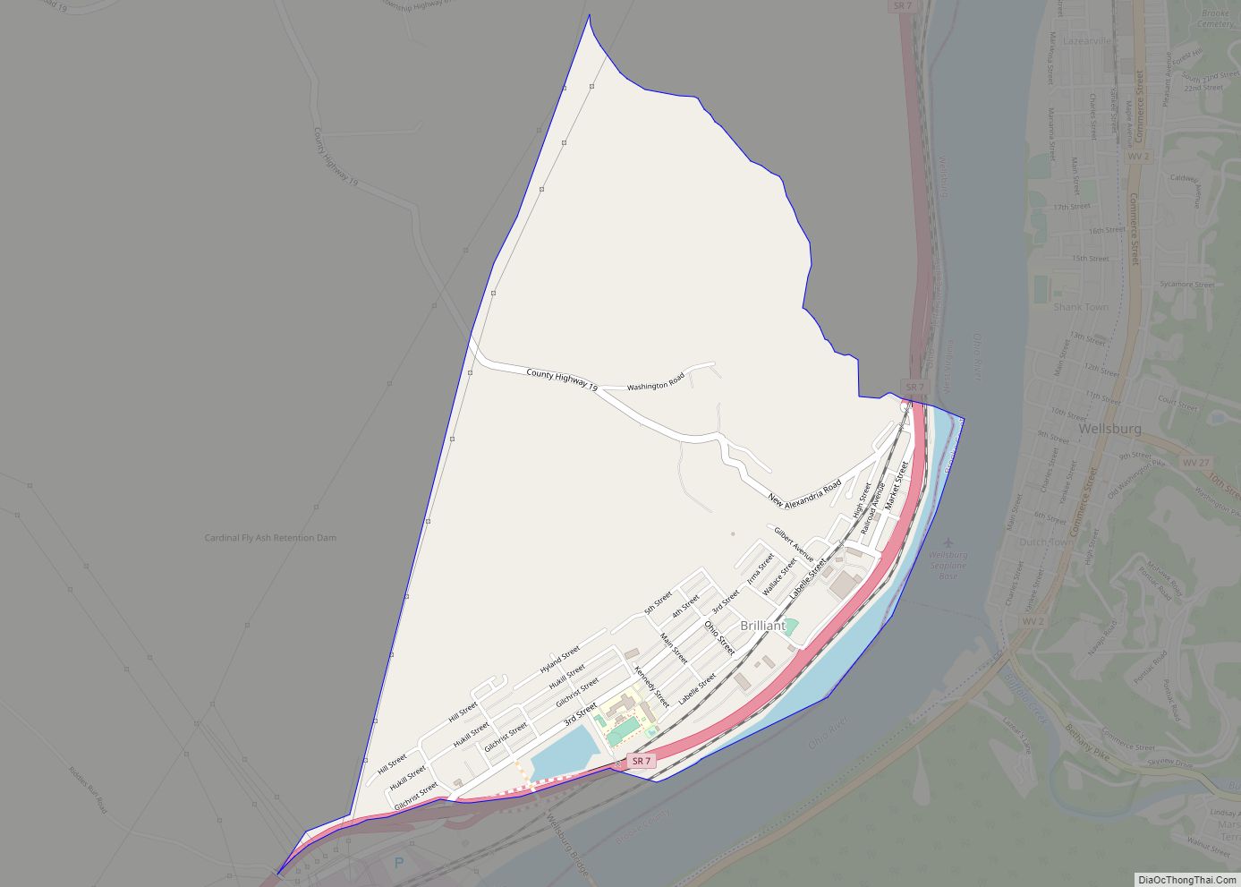
Online Interactive Map
Click on ![]() to view map in "full screen" mode.
to view map in "full screen" mode.
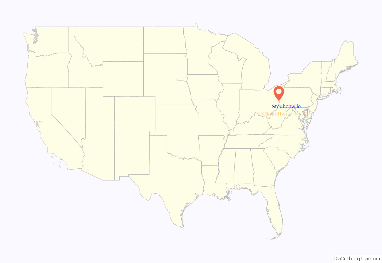
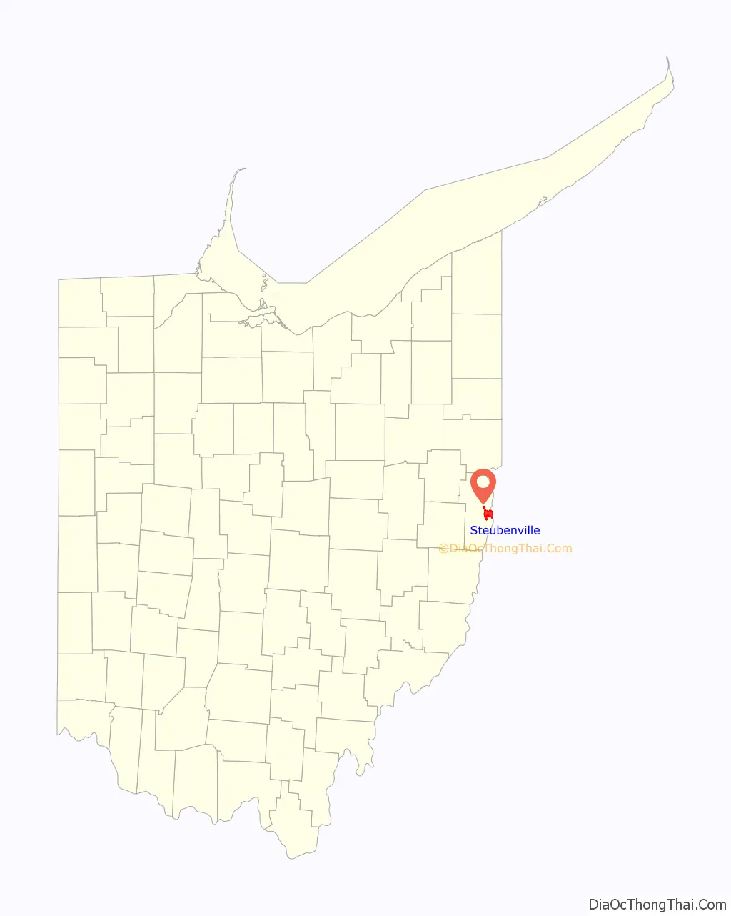
Steubenville location map. Where is Steubenville city?
History
In 1786–87, soldiers of the First American Regiment under Major Jean François Hamtramck built Fort Steuben to protect the government surveyors mapping the land west of the Ohio River, and named the fort in honor of Baron Friedrich Wilhelm von Steuben. When the surveyors completed their task a few years later, the fort was abandoned. In the meantime, settlers had built homes around the fort; they named their settlement Steubenville. The name Steubenville was derived from Fort Steuben to honor Baron von Steuben (the fort was named for the Baron). The town was sometimes referred to as La Belle City, a franglais interpretation of “The Beautiful City”.
On July 29, 1797, Jefferson County was organized by a proclamation of Governor Arthur St. Clair, and Steubenville was selected as the county seat. It was platted in the same year by Bezaliel Wells and James Ross, the city’s co-founders. Wells, a government surveyor born in Baltimore, received about 1,000 acres (4 km) of land west of the Ohio River; Ross, a lawyer from Pittsburgh, owned the land north of Wells.
On March 1, 1803, Ohio was admitted to the Union as the 17th state. During the first half of the nineteenth century, Steubenville was primarily a port town, and the rest of the county was small villages and farms. Steubenville received a city charter in 1851. In 1856, Frazier, Kilgore and Company erected a rolling mill (the forerunner of steel mills) and the Steubenville Coal and Mining Company sank a coal shaft. The city was a stop along the Pittsburgh, Cincinnati, Chicago and St. Louis Railroad, which connected Pittsburgh to Chicago and St. Louis.
The Steubenville Female Seminary, also known as Beatty’s Seminary for Young Ladies or Steubenville Seminary, was an early private educational institution for women founded by Presbyterian minister Charles Clinton Beatty in 1829. It was closed in 1898 and the buildings were eventually razed for part of what is now Ohio State Route 7.
In 1946, the College of Steubenville was founded by the Franciscan Friars of the Third Order Regular. In 1980, its name was changed to University of Steubenville, and finally in 1985 to Franciscan University of Steubenville. In 1966, the Jefferson County Technical Institute was founded. In 1977, its name was changed to Jefferson Technical College. In 1995, it became a community college and was renamed Jefferson Community College. In 2009, the college expanded its service district by three Ohio counties, and was renamed again: Eastern Gateway Community College.
The city gained international attention in late 2012 from the events surrounding the Steubenville High School rape case, which occurred in August 2012. The case was first covered by The New York Times that December, followed by the computer hacker group Anonymous later that month, and the subsequent coverage of the trials in late 2013. The case was significant in the extensive use of social media as evidence and in opening a national discussion on the concept of rape culture.
Steubenville Road Map
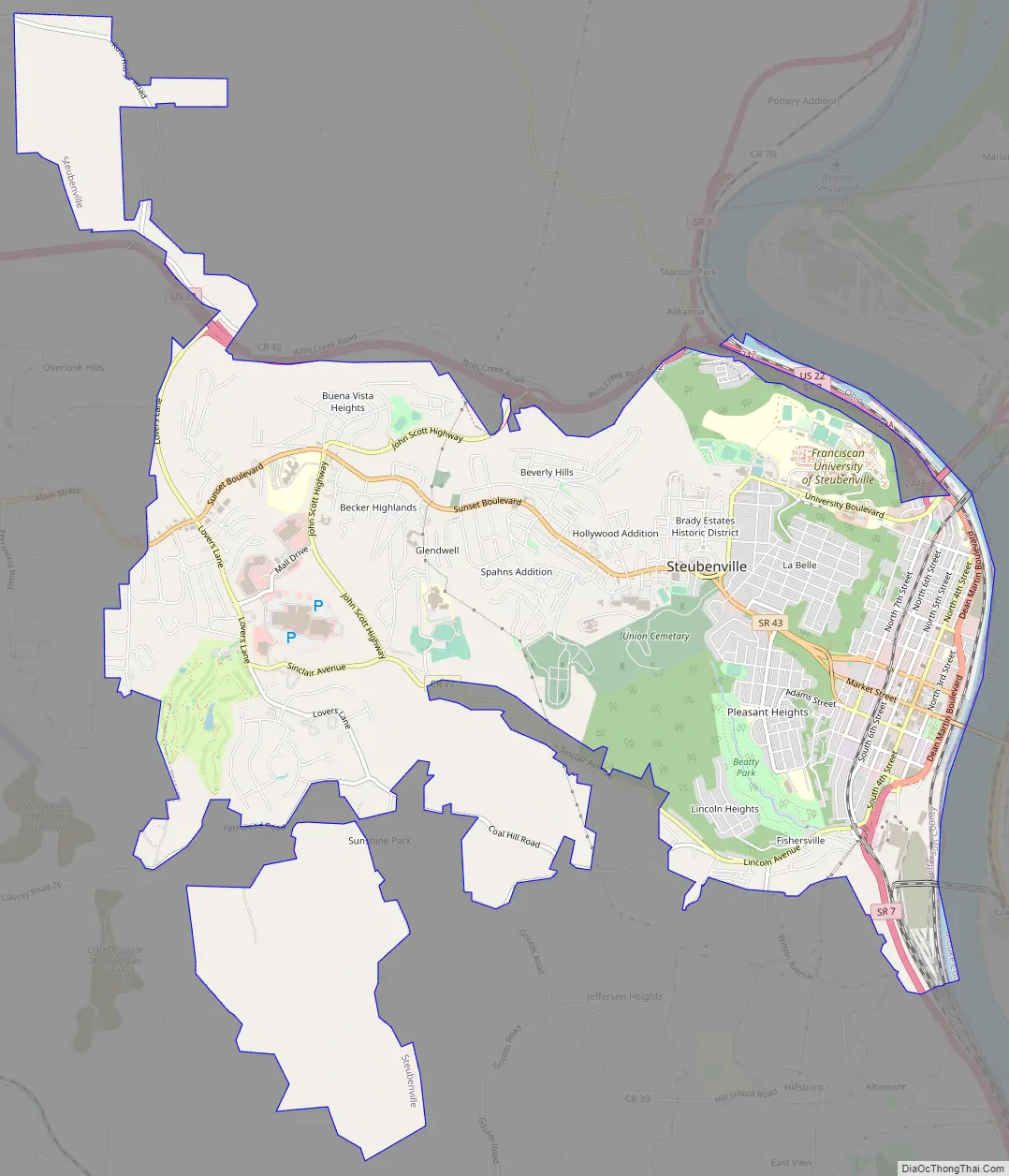
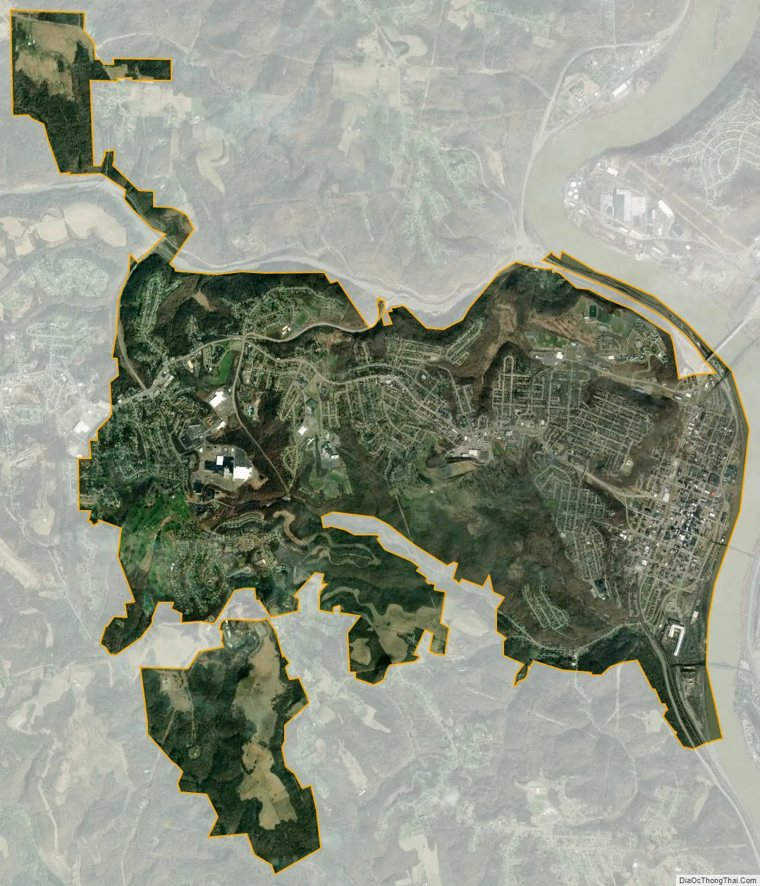
Steubenville city Satellite Map
Geography
Steubenville is located at 40°21′30″N 80°37′0″W / 40.35833°N 80.61667°W / 40.35833; -80.61667 (40.359, −80.614). According to the United States Census Bureau, the city has a total area of 10.63 square miles (27.53 km), of which 10.55 square miles (27.32 km) is land and 0.08 square miles (0.21 km) is water. The city lies along the Ohio River, with the city spreading west from the floodplains to the hills that surround the city. It lies within the ecoregion of the Western Allegheny Plateau.
Climate
The climate in this area is characterized by hot summers and relatively cold winters and evenly distributed precipitation throughout the year. As detailed in a March 2022 guide from the Climate Receiver Places Project at the PLACE initiative, Steubenville is a climate resilient geography based on its relatively low climate change risk exposure. According to the Köppen Climate Classification system, Steubenville has a humid continental climate, abbreviated “Dfa” on climate maps.
See also
Map of Ohio State and its subdivision:- Adams
- Allen
- Ashland
- Ashtabula
- Athens
- Auglaize
- Belmont
- Brown
- Butler
- Carroll
- Champaign
- Clark
- Clermont
- Clinton
- Columbiana
- Coshocton
- Crawford
- Cuyahoga
- Darke
- Defiance
- Delaware
- Erie
- Fairfield
- Fayette
- Franklin
- Fulton
- Gallia
- Geauga
- Greene
- Guernsey
- Hamilton
- Hancock
- Hardin
- Harrison
- Henry
- Highland
- Hocking
- Holmes
- Huron
- Jackson
- Jefferson
- Knox
- Lake
- Lake Erie
- Lawrence
- Licking
- Logan
- Lorain
- Lucas
- Madison
- Mahoning
- Marion
- Medina
- Meigs
- Mercer
- Miami
- Monroe
- Montgomery
- Morgan
- Morrow
- Muskingum
- Noble
- Ottawa
- Paulding
- Perry
- Pickaway
- Pike
- Portage
- Preble
- Putnam
- Richland
- Ross
- Sandusky
- Scioto
- Seneca
- Shelby
- Stark
- Summit
- Trumbull
- Tuscarawas
- Union
- Van Wert
- Vinton
- Warren
- Washington
- Wayne
- Williams
- Wood
- Wyandot
- Alabama
- Alaska
- Arizona
- Arkansas
- California
- Colorado
- Connecticut
- Delaware
- District of Columbia
- Florida
- Georgia
- Hawaii
- Idaho
- Illinois
- Indiana
- Iowa
- Kansas
- Kentucky
- Louisiana
- Maine
- Maryland
- Massachusetts
- Michigan
- Minnesota
- Mississippi
- Missouri
- Montana
- Nebraska
- Nevada
- New Hampshire
- New Jersey
- New Mexico
- New York
- North Carolina
- North Dakota
- Ohio
- Oklahoma
- Oregon
- Pennsylvania
- Rhode Island
- South Carolina
- South Dakota
- Tennessee
- Texas
- Utah
- Vermont
- Virginia
- Washington
- West Virginia
- Wisconsin
- Wyoming