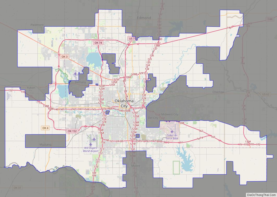
Norman (/ˈnɔːrmən/) is the third-largest city in the U.S. state of Oklahoma, with a population of 128,097 as of 2021. It is the largest city and the county seat of Cleveland County, and the second-largest city in the Oklahoma City metropolitan area, behind the state capital, Oklahoma City. It is 20 miles (32 kilometers) south of OKC.
Norman was settled during the Land Run of 1889, which opened the former Unassigned Lands of Indian Territory to American pioneer settlement. The city was named in honor of Abner Norman, the area’s initial land surveyor, and was formally incorporated on May 13, 1891. Norman has prominent higher education and related research industries, as it is home to the University of Oklahoma, the largest university in the state, with nearly 32,000 students. The university is well known for its sporting events by teams under the banner of the nickname “Sooners,” with over 85,000 people routinely attending football games. The university is home to several museums, including the Fred Jones Jr. Museum of Art, which contains the largest collection of French Impressionist art ever given to an American university, as well as the Sam Noble Oklahoma Museum of Natural History.
Norman’s National Weather Center (NWC) houses a unique collection of university, state, federal, and private sector organizations that work together to improve the understanding of events related to the Earth’s atmosphere. Norman lies within Tornado Alley, a geographic region where tornadic activity is particularly frequent and intense. The Oklahoma City metropolitan area, including Norman, is the world’s most tornado-prone area. The Storm Prediction Center (SPC), a branch of the National Oceanic and Atmospheric Administration (NOAA), is at the NWC. SPC forecasts severe storm and tornado outbreaks nationwide. Additionally, research is conducted at the co-located National Severe Storms Laboratory (NSSL), which includes field research and operates various experimental weather radars.
| Name: | Norman city |
|---|---|
| LSAD Code: | 25 |
| LSAD Description: | city (suffix) |
| State: | Oklahoma |
| County: | Cleveland County |
| Elevation: | 1,171 ft (357 m) |
| Land Area: | 178.65 sq mi (462.69 km²) |
| Water Area: | 10.54 sq mi (27.31 km²) |
| Population Density: | 716.64/sq mi (276.70/km²) |
| ZIP code: | 73019, 73026, 73069, 73070, 73071, 73072 |
| Area code: | 405/572 |
| FIPS code: | 4052500 |
| GNISfeature ID: | 1095903 |
| Website: | www.normanok.gov |
Online Interactive Map
Click on ![]() to view map in "full screen" mode.
to view map in "full screen" mode.
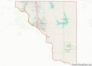
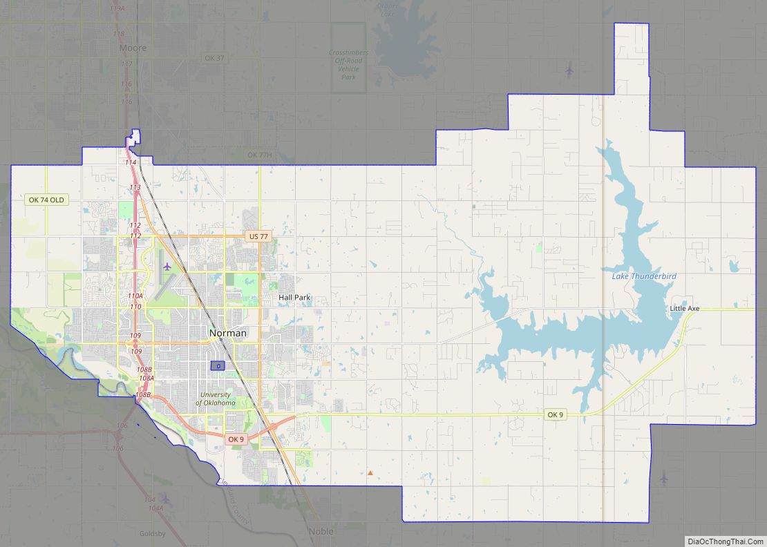
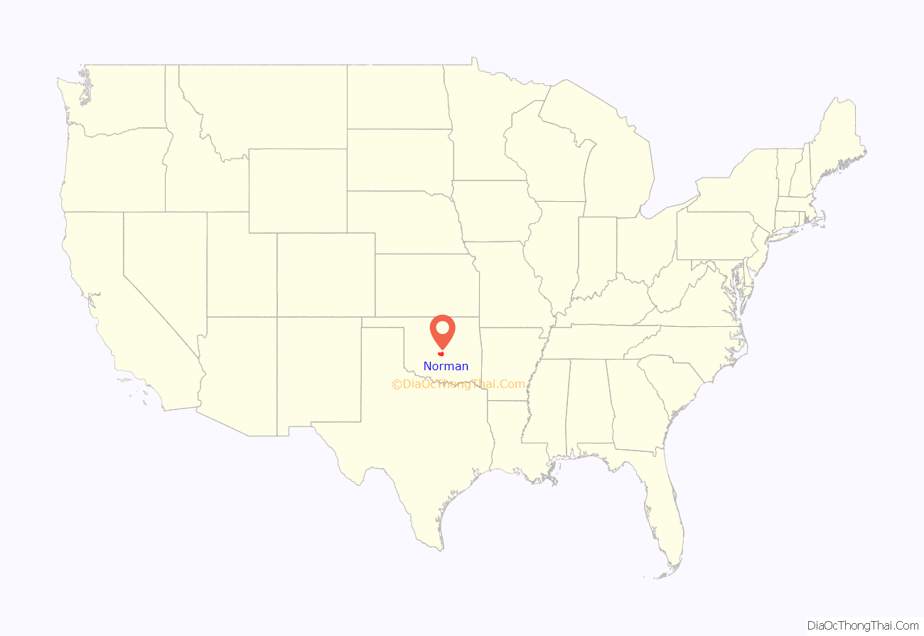
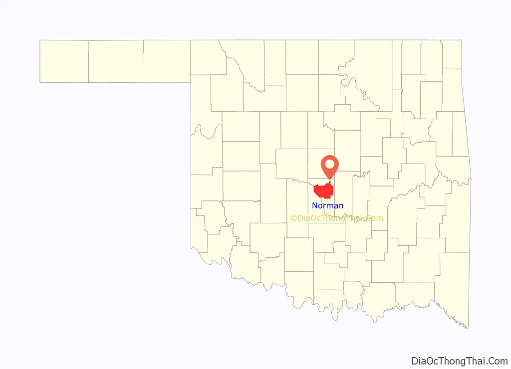
Norman location map. Where is Norman city?
History
The Oklahoma region became part of the United States with the Louisiana Purchase in 1803. Before the American Civil War, the U.S. government began relocating the Five Civilized Tribes—the five Native American tribes that the United States officially recognized via treaty—to Oklahoma. Treaties of 1832 and 1833 assigned the area known today as Norman to the Creek Nation.
After the Civil War, the Creeks were accused of aiding the Confederacy; as a result they ceded the region back to the United States in 1866. In the early 1870s, the federal government undertook a survey of these unassigned lands. Abner Ernest Norman, a 23-year-old surveyor from Kentucky, was hired to oversee part of this project. Norman’s work crew set up camp near what is today the corner of Classen Boulevard and Lindsey Street; it was there that the men, perhaps jokingly, carved a sign on an elm tree that read “Norman’s Camp,” in honor of their young boss. In 1887, the Atchison, Topeka and Santa Fe Railway began service to the area, which was later opened to settlement as part of the Land Run of 1889; early settlers decided to keep the name “Norman.”
On April 22, 1889, that first Land Run in what would become the state of Oklahoma saw the founding of Norman, with at least 150 residents spending the night in makeshift campsites, and by the next morning a downtown was already being constructed. Almost immediately two prominent Norman businessmen, former Purcell railroad freight agent Delbert Larsh and railroad station chief cashier Thomas Waggoner, began lobbying for the territorial government to locate its first university in Norman. The two were interested in growing the city and had reasoned that, rather than try to influence territorial lawmakers to locate the heavily contested territory capital in Norman, it made sense to attempt to secure the state’s first university instead (a move that would be far less controversial). On December 19, 1890, Larsh and Waggoner were successful with the passage of Territorial Council Bill 114, establishing the University of Oklahoma in Norman about 18 years before Oklahoma statehood.
The City of Norman was formally incorporated on May 13, 1891.
The new Norman was a sundown town. African Americans were not allowed to live within the city limits or stay overnight until the early 1960s, nor could they study at the University of Oklahoma. In 2020, the Norman City Council issued an apology.
Norman has grown throughout the decades. By 1902 the downtown district contained two banks, two hotels, a flour mill, and other businesses; by 1913 over 3,700 people lived in Norman when the Oklahoma Railway Company decided to extend its interurban streetcar running from Oklahoma City to Moore into Norman, spurring additional population growth. The rail lines eventually transitioned to freight during the 1940s as the United States Numbered Highway system developed. The population reached 11,429 in 1940.
With the completion of Interstate 35 in June 1959, Norman found its role as a bedroom community to Oklahoma City increasing rapidly; in 1960 Norman’s population was 33,412 but by the end of the decade had grown to 52,117. Throughout the 1960s Norman’s land mass increased by 174 sq mi (450 km) by annexing surrounding areas. The city’s growth trends have continued early in the 21st century, with the population reaching 95,694 in 2000, 110,925 in 2010, and 128,026 in 2020.
Military in Norman
In 1941, the University of Oklahoma and Norman city officials established Max Westheimer Field, a university airstrip, and then leased it to the U.S. Navy as a Naval Flight Training Center in 1942. It became the Naval Air Station Norman, and it was used for training combat pilots during World War II. A second training center, known as Naval Air Technical Training Center, and a naval hospital were later established to the south. In the years following World War II the airstrip was transferred back to the university’s control. Today the airstrip is called the University of Oklahoma Westheimer Airport. Following the war the remaining military presence and post-war veterans who came to Norman to get an education again grew the city’s population, which was 27,006 by 1950. The Navy again utilized the bases in a lesser capacity from 1952 to 1959 in support of the Korean War effort.
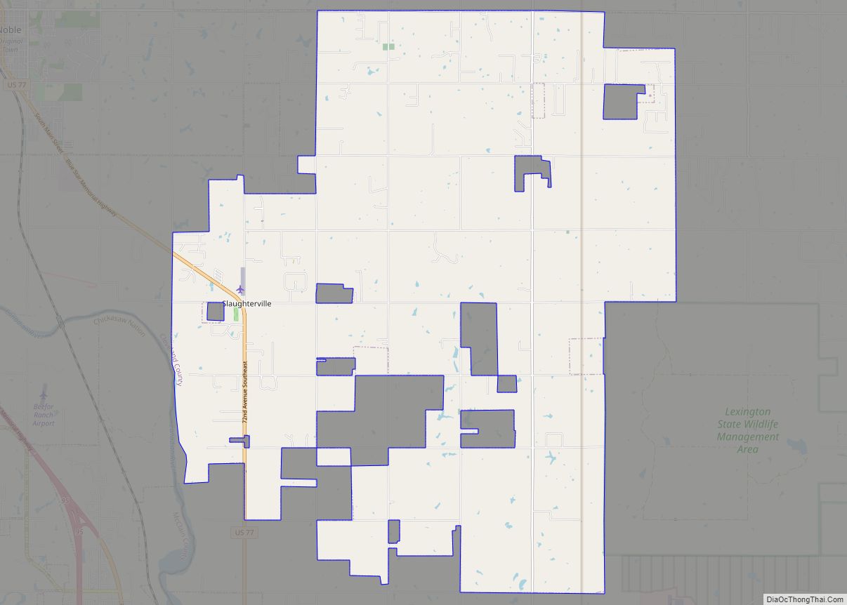
Norman Road Map
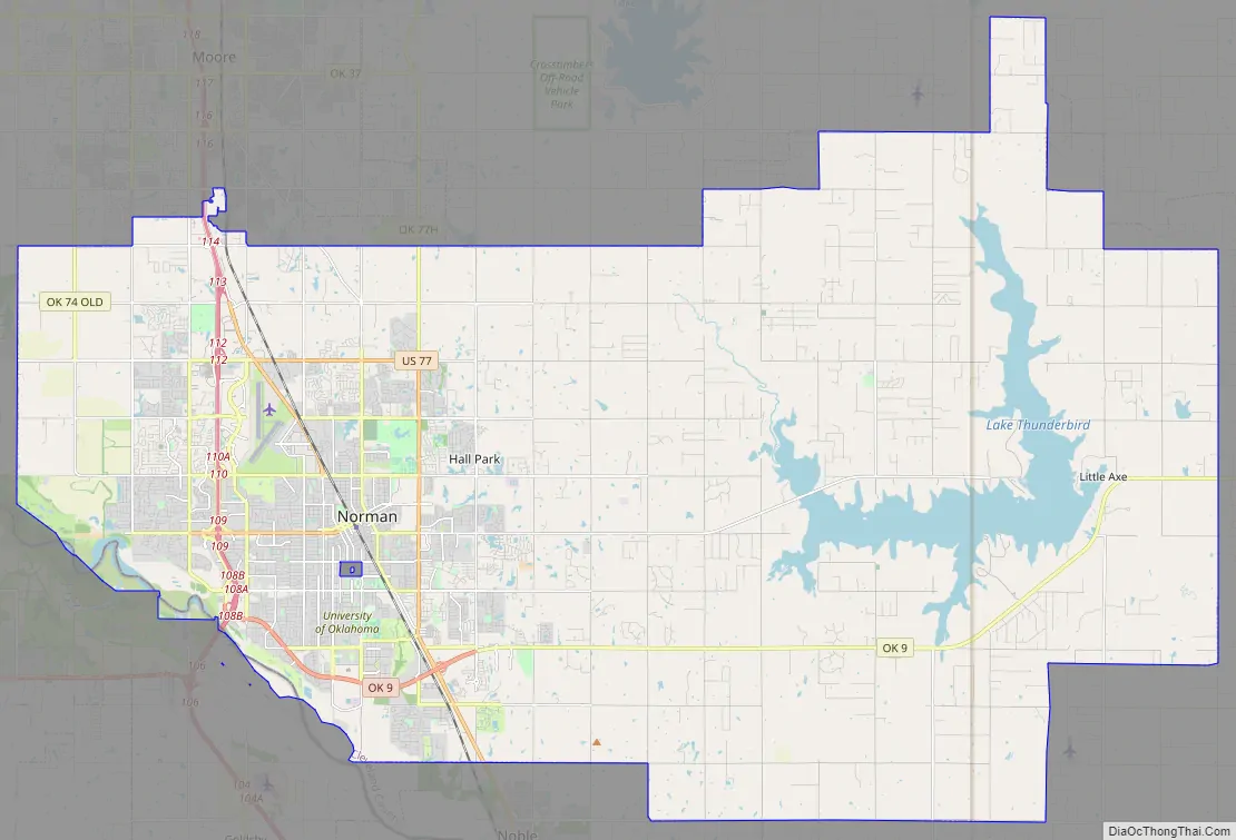
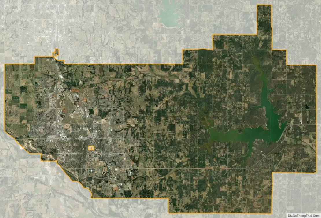
Norman city Satellite Map
Geography
The U.S. Census Bureau reported Norman’s geographical coordinates as 35°14′26″N 97°20′43″W / 35.240577°N 97.345306°W / 35.240577; -97.345306 (35°14’26″N 97°20’43″W). This appears to be the geographical center of the city limits, which include all of Lake Thunderbird. Virtually all of Norman’s development is well to the west of this point.
As of 2010, the city has a total area of 189.42 sq mi (490.6 km), of which 178.77 sq mi (463.0 km) is land and 10.65 sq mi (27.6 km) is water.
The center of this large incorporated area is 20 mi (30 km) from the center of Oklahoma City, and separated primarily by Moore, is in the Oklahoma City metropolitan area.
Topography
Norman and the surrounding areas are mostly flat with an elevation near 1,171 ft (357 m). The terrain in the western section of Norman is prairie, while the eastern section, including the area surrounding Lake Thunderbird, consists of some 6,000 acres (24 km) of lakes and Cross Timbers forest. The lowest point within city limits is approximately 970 ft (296 m) above sea level (located at 35.20388N, 97.17735W). The highest point is approximately 1,245 ft (379 m) above sea level (located at 35.21266N, 97.39000W).
Climate
Norman falls within a temperate, humid subtropical climate region that is identified as “Cfa” class on the Köppen climate classification. On average Norman receives about 38 in (970 mm) of precipitation per year; May and June are the wettest months. Temperatures average 61 °F (16 °C) for the year. Average daytime highs range from 50 °F (10 °C) in January to 92.5 °F (33.6 °C) in July; average lows range from around 28 °F (−2 °C) in January to 71 °F (22 °C) in July. Summers can be extremely hot, as was evident in the historically hot summer of 1980, and again in 2011, when temperatures climbed above 100 °F (38 °C) over most days from mid-June through early September Consistent winds, averaging near 10 mph (16 km/h) and usually from the south to southeast, help to temper hotter weather during the summer and intensify cold periods during the winter.
The average growing season in Norman is 209 days, but plants that can withstand short periods of colder temperatures may have an additional three to six weeks. Winter months tend to be cloudier than those in summer, with the percentage of possible sunshine ranging from an average of about 55% in winter to nearly 80% in summer.
Norman lies within Tornado Alley, the region of the United States where tornadic activity is most frequent. The city has a tornado season lasting from March through June, with over 80% of all reported tornadoes occurring during these months. The Oklahoma City metropolitan area, including Norman, is the most tornado-prone area in the United States. There have been several tornado events in recent years. On May 10, 2010, a tornado outbreak occurred in southeastern Norman that resulted in the loss of multiple homes and businesses. On April 13, 2012 Norman was struck by a weak tornado. On May 6, 2015, the northwestern part of Norman was hit by a weak tornado.
See also
Map of Oklahoma State and its subdivision:- Adair
- Alfalfa
- Atoka
- Beaver
- Beckham
- Blaine
- Bryan
- Caddo
- Canadian
- Carter
- Cherokee
- Choctaw
- Cimarron
- Cleveland
- Coal
- Comanche
- Cotton
- Craig
- Creek
- Custer
- Delaware
- Dewey
- Ellis
- Garfield
- Garvin
- Grady
- Grant
- Greer
- Harmon
- Harper
- Haskell
- Hughes
- Jackson
- Jefferson
- Johnston
- Kay
- Kingfisher
- Kiowa
- Latimer
- Le Flore
- Lincoln
- Logan
- Love
- Major
- Marshall
- Mayes
- McClain
- McCurtain
- McIntosh
- Murray
- Muskogee
- Noble
- Nowata
- Okfuskee
- Oklahoma
- Okmulgee
- Osage
- Ottawa
- Pawnee
- Payne
- Pittsburg
- Pontotoc
- Pottawatomie
- Pushmataha
- Roger Mills
- Rogers
- Seminole
- Sequoyah
- Stephens
- Texas
- Tillman
- Tulsa
- Wagoner
- Washington
- Washita
- Woods
- Woodward
- Alabama
- Alaska
- Arizona
- Arkansas
- California
- Colorado
- Connecticut
- Delaware
- District of Columbia
- Florida
- Georgia
- Hawaii
- Idaho
- Illinois
- Indiana
- Iowa
- Kansas
- Kentucky
- Louisiana
- Maine
- Maryland
- Massachusetts
- Michigan
- Minnesota
- Mississippi
- Missouri
- Montana
- Nebraska
- Nevada
- New Hampshire
- New Jersey
- New Mexico
- New York
- North Carolina
- North Dakota
- Ohio
- Oklahoma
- Oregon
- Pennsylvania
- Rhode Island
- South Carolina
- South Dakota
- Tennessee
- Texas
- Utah
- Vermont
- Virginia
- Washington
- West Virginia
- Wisconsin
- Wyoming