Map of Maud city, Oklahoma
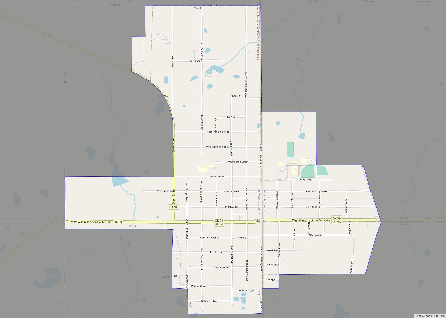
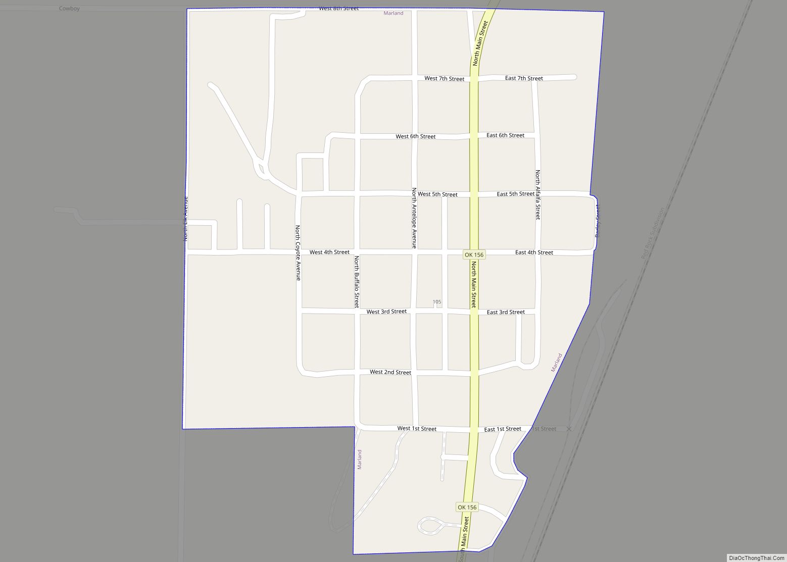
Maud is a town on the boundary between Pottawatomie and Seminole counties in the U.S. state of Oklahoma. The population was 1,048 at the 2010 census, a 7.8 percent decrease from the figure of 1,136 in 2000. The town was named for Maud Stearns, a sister to the wives of two men who owned the ... Read more
Map of Maud city, Oklahoma
Map of Martha town
Martha is a town in Jackson County, Oklahoma, United States. The population was 162 at the 2010 census. Martha town overview: Name: Martha town LSAD Code: 43 LSAD Description: town (suffix) State: Oklahoma County: Jackson County Elevation: 1,407 ft (429 m) Total Area: 0.25 sq mi (0.65 km²) Land Area: 0.25 sq mi (0.65 km²) Water Area: 0.00 sq mi (0.00 km²) Total Population: 162 Population ... Read more
Map of Martha town
Map of Marshall town, Oklahoma
Marshall is a rural town in Logan County, Oklahoma, United States, and is an outer suburb/exurb on the northern edge of the Oklahoma City Metropolitan Statistical Area. The population was 278 at the 2010 census, a 5.7 percent increase from the figure of 258 in 2000. Sperling Bestplaces lists the Marshall (zip 73056) population at ... Read more
Map of Marshall town, Oklahoma
Map of Marlow city
Marlow is a city in Stephens County, Oklahoma, United States. The population was 4,662 at the 2010 census. Marlow city overview: Name: Marlow city LSAD Code: 25 LSAD Description: city (suffix) State: Oklahoma County: Stephens County Elevation: 1,312 ft (400 m) Total Area: 7.22 sq mi (18.70 km²) Land Area: 7.05 sq mi (18.27 km²) Water Area: 0.17 sq mi (0.43 km²) Total Population: 4,385 Population ... Read more
Map of Marlow city
Map of Marland town
Marland is a town in Noble County, Oklahoma, United States. The population was 225 at the 2010 census. It was named for Ernest W. Marland, an oilman from nearby Ponca City who later became a governor of Oklahoma. Marland is on SH-156, south-southwest of Ponca City. Marland town overview: Name: Marland town LSAD Code: 43 ... Read more
Map of Marland town
Map of Marietta CDP, Oklahoma
Marietta is a census-designated place (CDP) in Adair County, Oklahoma, United States. The population was 106 at the 2010 census. The community was listed as Maryetta at the 2000 census, at which time it had a population of 138. Marietta CDP overview: Name: Marietta CDP LSAD Code: 57 LSAD Description: CDP (suffix) State: Oklahoma County: ... Read more
Map of Marietta CDP, Oklahoma
Map of Medford city, Oklahoma
Medford is a city in and the county seat of Grant County, Oklahoma, United States. As of the 2010 census, the city population was 996. Medford city overview: Name: Medford city LSAD Code: 25 LSAD Description: city (suffix) State: Oklahoma County: Grant County Elevation: 1,093 ft (333 m) Total Area: 1.08 sq mi (2.80 km²) Land Area: 1.08 sq mi (2.80 km²) Water ... Read more
Map of Medford city, Oklahoma
Map of Mead town, Oklahoma
Mead is a town in Bryan County, Oklahoma, United States. The population was 122 at the 2010 census, compared to 123 in 2000. Mead was originally named for C.W. Meade, the first postmaster, but the town later dropped the final “e” of the name. Mead town overview: Name: Mead town LSAD Code: 43 LSAD Description: ... Read more
Map of Mead town, Oklahoma
Map of McLoud city
McLoud is a city in northwestern Pottawatomie County, Oklahoma, United States, and is part of the Oklahoma City Consolidated Metropolitan Area. The population was 4,044 at the 2010 census, a 14.0 percent increase from the figure of 3,548 in 2000. The city was founded in 1895 and named for John W. McLoud, attorney for the ... Read more
Map of McLoud city
Map of McCurtain town
McCurtain is a town in Haskell County, Oklahoma, United States. The population was 357 at the 2020 census, a 30.8% decrease over the figure of 516 recorded in 2010. A coal mine disaster in 1912 killed 73 miners and ended McCurtain’s prosperity. The mine explosion remains one of the worst disasters in Oklahoma history. McCurtain ... Read more
Map of McCurtain town
Map of McCord CDP
McCord is a census-designated place (CDP) in Osage County, Oklahoma, United States. The population was 1,440 at the 2010 census, a decrease of 15.8 percent from the figure of 1,711 reported in 2000. McCord CDP overview: Name: McCord CDP LSAD Code: 57 LSAD Description: CDP (suffix) State: Oklahoma County: Osage County Elevation: 1,073 ft (327 m) Total ... Read more
Map of McCord CDP
Map of Miami city, Oklahoma
Miami (/maɪˈæmə/ my-AM-ə) is a city in and county seat of Ottawa County, Oklahoma, United States, founded in 1891. Lead and zinc mining were established by 1918, causing the area’s economy to boom. This area was part of Indian Territory. Miami is the capital of the federally recognized Miami Tribe of Oklahoma, after which it ... Read more
Map of Miami city, Oklahoma