Map of Beggs city

Map of Beggs city

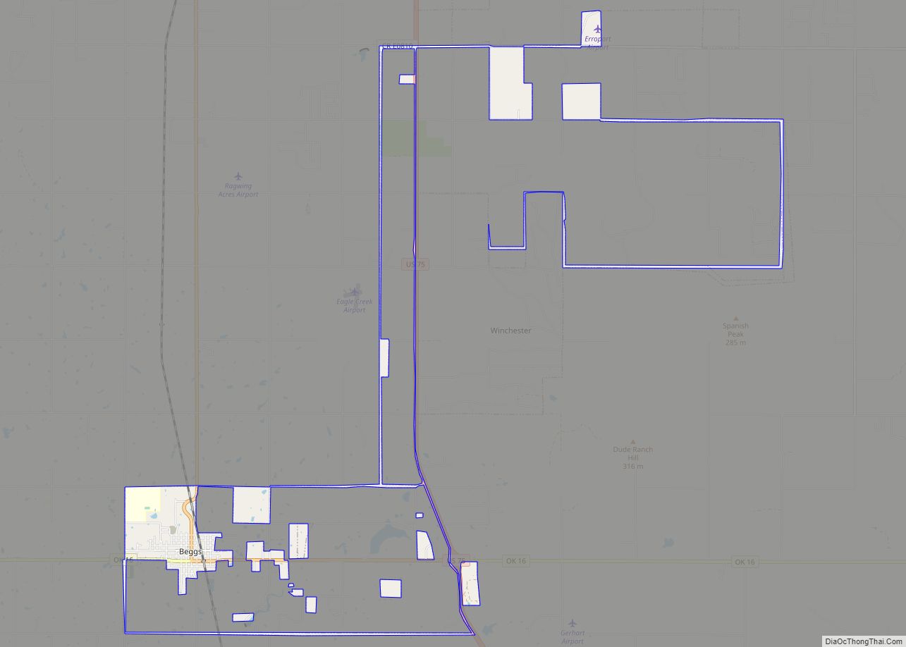
Beggs is a city in Okmulgee County, Oklahoma, United States. The population was 1,179 as of the 2020 Census. Beggs was named for C.H. Beggs, vice president of the St. Louis-San Francisco (Frisco) Railway. Beggs city overview: Name: Beggs city LSAD Code: 25 LSAD Description: city (suffix) State: Oklahoma County: Okmulgee County Elevation: 738 ft (225 m) … Read more

Map of Bee CDP, Oklahoma

Map of Bee CDP, Oklahoma

Bee is an unincorporated community and census-designated place in Johnston County, Oklahoma, United States. Its population was 140 as of the 2010 census. Bee CDP overview: Name: Bee CDP LSAD Code: 57 LSAD Description: CDP (suffix) State: Oklahoma County: Johnston County Elevation: 699 ft (213 m) Total Area: 1.31 sq mi (3.39 km²) Land Area: 1.30 sq mi (3.37 km²) Water Area: 0.01 sq mi … Read more

Map of Beaver town, Oklahoma

Map of Beaver town, Oklahoma

Beaver is a town and county seat in Beaver County, Oklahoma, United States. The community is in the Oklahoma Panhandle. As of the 2010 census, the town population was 1,515, a 3.5 percent decrease from 1,570 at the 2000 census. The city is host to the annual World Cow Chip Throwing Championship. Held in April, … Read more

Map of Bearden town, Oklahoma

Map of Bearden town, Oklahoma

Bearden is a town in Okfuskee County, Oklahoma, United States. The population was 133 at the 2010 census. Bearden town overview: Name: Bearden town LSAD Code: 43 LSAD Description: town (suffix) State: Oklahoma County: Okfuskee County Elevation: 935 ft (285 m) Total Area: 7.65 sq mi (19.82 km²) Land Area: 7.55 sq mi (19.54 km²) Water Area: 0.11 sq mi (0.28 km²) Total Population: 135 Population … Read more

Map of Bartlesville city

Map of Bartlesville city

Bartlesville is a city mostly in Washington County in the U.S. state of Oklahoma. The population was 37,290 at the 2020 census. Bartlesville is 47 miles (76 km) north of Tulsa and 18 miles (29 km) south of the Kansas border. It is the county seat of Washington County. The Caney River runs through Bartlesville. Bartlesville is … Read more

Map of Barnsdall city

Map of Barnsdall city

Barnsdall is a city in Osage County, Oklahoma, United States. The population was 1,034 at the 2020 census, a decline of 21.9 percent from the figure of 1,325 recorded in 2000. Barnsdall city overview: Name: Barnsdall city LSAD Code: 25 LSAD Description: city (suffix) State: Oklahoma County: Osage County Elevation: 742 ft (226 m) Total Area: 1.18 sq mi … Read more

Map of Ballou CDP

Map of Ballou CDP

Ballou is a census-designated place (CDP) in Mayes County, Oklahoma, United States. As of the 2000 census, the CDP population was 142 people, a figure which increased to 176 in 2010. Ballou CDP overview: Name: Ballou CDP LSAD Code: 57 LSAD Description: CDP (suffix) State: Oklahoma County: Mayes County Total Area: 3.67 sq mi (9.50 km²) Land Area: … Read more

Map of Badger Lee CDP

Map of Badger Lee CDP

Badger Lee is an unincorporated community and census-designated place in Sequoyah County, Oklahoma, United States. Its population was 76 as of the 2010 census. Badger Lee CDP overview: Name: Badger Lee CDP LSAD Code: 57 LSAD Description: CDP (suffix) State: Oklahoma County: Sequoyah County Elevation: 610 ft (190 m) Total Area: 0.71 sq mi (1.83 km²) Land Area: 0.71 sq mi (1.83 km²) … Read more

Map of Avant town

Map of Avant town

Avant is an incorporated community in eastern Osage County, Oklahoma, United States. The population was 320 at the 2010 census, a decline of 14.0 percent from the figure of 372 recorded in 2000. Avant town overview: Name: Avant town LSAD Code: 43 LSAD Description: town (suffix) State: Oklahoma County: Osage County Elevation: 679 ft (207 m) Total … Read more

Map of Atwood town, Oklahoma

Map of Atwood town, Oklahoma

Atwood is a town in Hughes County, Oklahoma, United States. The population was 74 at the 2010 census. Atwood town overview: Name: Atwood town LSAD Code: 43 LSAD Description: town (suffix) State: Oklahoma County: Hughes County Elevation: 801 ft (244 m) Total Area: 0.30 sq mi (0.78 km²) Land Area: 0.30 sq mi (0.78 km²) Water Area: 0.00 sq mi (0.00 km²) Total Population: 85 Population … Read more

Map of Bernice town, Oklahoma

Map of Bernice town, Oklahoma

Bernice is a town in Delaware County, Oklahoma, United States. The population was 562 at the 2010 census, an increase of 11.5 percent over the figure of 504 recorded in 2000. The town is now primarily a vacation and retirement area. It claims to be the “Crappie Fishing Capital of the World.” Bernice town overview: … Read more

Map of Bennington town, Oklahoma

Map of Bennington town, Oklahoma

Bennington is a town in Bryan County, Oklahoma, United States. The population was 334 at the 2010 census. Bennington town overview: Name: Bennington town LSAD Code: 43 LSAD Description: town (suffix) State: Oklahoma County: Bryan County Elevation: 627 ft (191 m) Total Area: 0.73 sq mi (1.90 km²) Land Area: 0.73 sq mi (1.90 km²) Water Area: 0.00 sq mi (0.00 km²) Total Population: 282 Population … Read more