Bartlesville is a city mostly in Washington County in the U.S. state of Oklahoma. The population was 37,290 at the 2020 census. Bartlesville is 47 miles (76 km) north of Tulsa and 18 miles (29 km) south of the Kansas border. It is the county seat of Washington County. The Caney River runs through Bartlesville.
Bartlesville is the primary city of the Bartlesville Micropolitan area, which consists of Washington County and had a population of 51,843 in 2018. A small portion of the city is in Osage County. The city is also part of the Tulsa Combined Statistical Area, with a population of 1,151,172 in 2015.
Bartlesville is notable as the longtime home of Phillips Petroleum Company. Frank Phillips founded Phillips Petroleum in Bartlesville in 1905 when the area was still an Indian Territory. The company merged with Conoco as ConocoPhillips and later split into the two independent companies, Phillips 66 and ConocoPhillips. Both companies have retained some operations in Bartlesville, but they have moved their corporate headquarters to Houston.
It is one of two places in Oklahoma where a Lenape Native American tribe lives, the other being Anadarko.
| Name: | Bartlesville city |
|---|---|
| LSAD Code: | 25 |
| LSAD Description: | city (suffix) |
| State: | Oklahoma |
| County: | Osage County, Washington County |
| Elevation: | 702 ft (214 m) |
| Total Area: | 22.58 sq mi (58.47 km²) |
| Land Area: | 22.55 sq mi (58.41 km²) |
| Water Area: | 0.03 sq mi (0.06 km²) |
| Total Population: | 37,290 |
| Population Density: | 1,653.59/sq mi (638.45/km²) |
| FIPS code: | 4004450 |
| GNISfeature ID: | 1089874 |
| Website: | cityofbartlesville.org |
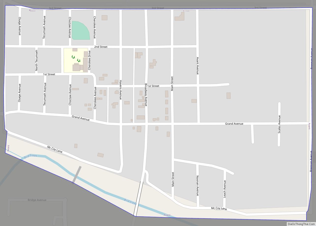
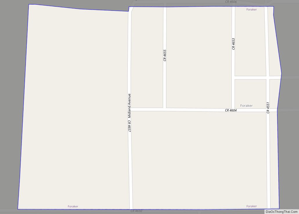
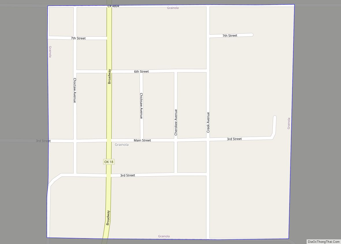
Online Interactive Map
Click on ![]() to view map in "full screen" mode.
to view map in "full screen" mode.
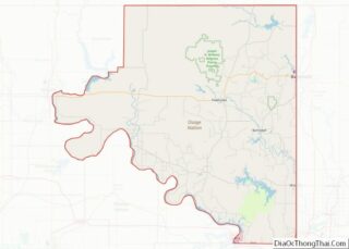
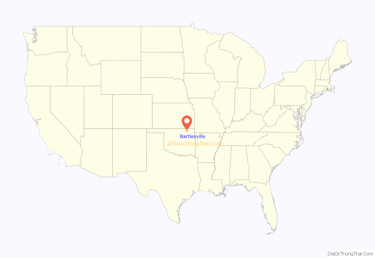
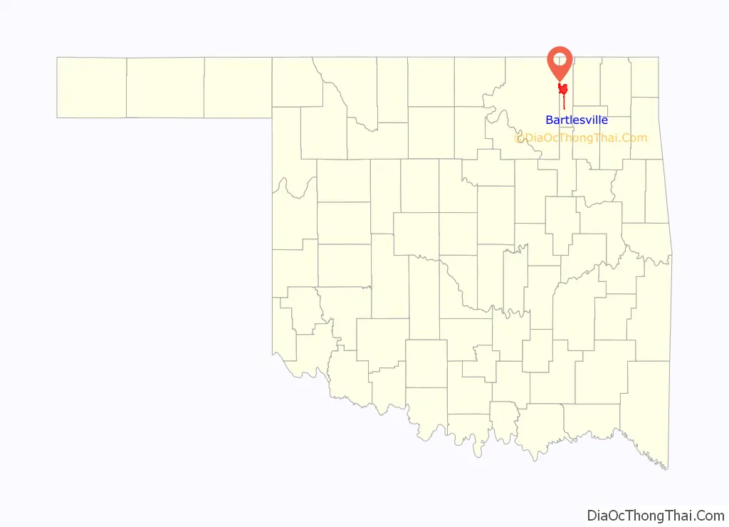
Bartlesville location map. Where is Bartlesville city?
History
Jacob Bartles, son-in-law of Delaware chief Charles Journeycake, moved from Wyandotte County, Kansas, to Indian Territory in 1873. He settled first at Silver Lake, a natural lake south of the present city of Bartlesville. In 1874, he opened a trading post and post office on Turkey Creek, in what is now East Bartlesville. In the following year, he bought a grist mill on the Caney River and modified it to produce flour. Bartles then built a two-story general store and residence, and added a rooming house, a blacksmith shop and a livery stable. Other settlers soon moved into the immediate area, which was then called Bartles Town. In 1880, Bartles moved his Turkey Creek post office to this town. Bartles then provided the community with electricity, a telephone system and a water distribution system.
Development of the present city began after William Johnstone and George B. Keeler opened a general store on the south side of the Caney River in 1884. The first newspaper, The Weekly Magnet, began publication in March 1895. The town was incorporated in Indian Territory in January 1897. The town was surveyed and platted in 1898, and eighty acres were offered to the Atchison, Topeka and Santa Fe Railroad for a depot. The railroad reached the town in 1899. The post office was moved from “North Bartlesville” in 1899. Bypassed by the railroad, Jacob Bartles moved his store to Dewey, Oklahoma.
Bartlesville was also home to Frank Phillips (November 28, 1873 – August 23, 1950) who along with his brother, Lee Eldas “L.E.” Phillips Sr founded Phillips Petroleum in Bartlesville in 1917 and made Bartlesville the headquarters of Phillips 66. The new company began with assets of $3 million, 27 employees and leases throughout Oklahoma and Kansas but grew to become a multi-billion dollar oil company. Although Bartlesville is no longer the headquarters, the company still has many employees in the community. In 2002, Phillips Petroleum merged with Conoco Oil Company and became ConocoPhillips.
Bartlesville was originally a sundown town where African Americans were not allowed to live. By 1907, the restriction had been lifted, and newspapers noted the town’s first natural death of an African American, a man named Robert McGee.
In 1957, Bartlesville was the test site for the first experiment in pay cable television. The Bartlesville Telemovie System debuted with the film The Pajama Game, starring Doris Day, and aired it to an audience of 300 homes. The headline of the September 4, 1957, issue of Variety read, “First-Run Films Now at Home”.
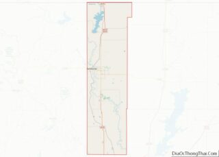
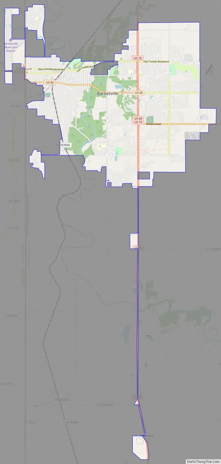
Bartlesville Road Map
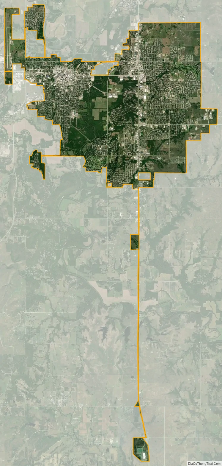
Bartlesville city Satellite Map
Geography
According to the United States Census Bureau, the city has a total area of 21.1 square miles (54.6 km), of which 21.1 square miles (54.6 km) is land and 0.04 square miles (0.1 km) (0.09%) is water.
The Caney River flows through Bartlesville, separating the downtown area from the east side. The river flooded in October 1986 as a result of unusually heavy rainfall. The city was split in half for several days, and the flood caused considerable property damage. The river broke its banks again in June 2007, cresting five feet below the 1986 level. The Pathfinder Parkway, a paved trail for walking, running, and cycling, runs alongside the Caney River.
Climate
Bartlesville is familiar with both very hot conditions in the summer with a record high of 115 °F or 46.1 °C and with very cold conditions with a record of low of −28 °F or −33.3 °C. However, even with this record of extremes, the climate of Bartlesville is considered humid subtropical (Köppen Cfa) with cool winters and hot summers, with the majority of precipitation falling in spring, between the months of April and June. Bartlesville lies in Tornado Alley, meaning that severe weather, including tornadoes, can occur. Severe weather occurs most often in the spring months, and occurs with much less frequency throughout the rest of the year.
See also
Map of Oklahoma State and its subdivision:- Adair
- Alfalfa
- Atoka
- Beaver
- Beckham
- Blaine
- Bryan
- Caddo
- Canadian
- Carter
- Cherokee
- Choctaw
- Cimarron
- Cleveland
- Coal
- Comanche
- Cotton
- Craig
- Creek
- Custer
- Delaware
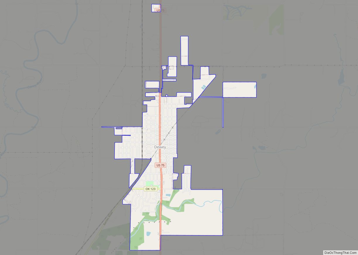
- Dewey
- Ellis
- Garfield
- Garvin
- Grady
- Grant
- Greer
- Harmon
- Harper
- Haskell
- Hughes
- Jackson
- Jefferson
- Johnston
- Kay
- Kingfisher
- Kiowa
- Latimer
- Le Flore
- Lincoln
- Logan
- Love
- Major
- Marshall
- Mayes
- McClain
- McCurtain
- McIntosh
- Murray
- Muskogee
- Noble
- Nowata
- Okfuskee
- Oklahoma
- Okmulgee
- Osage
- Ottawa
- Pawnee
- Payne
- Pittsburg
- Pontotoc
- Pottawatomie
- Pushmataha
- Roger Mills
- Rogers
- Seminole
- Sequoyah
- Stephens
- Texas
- Tillman
- Tulsa
- Wagoner
- Washington
- Washita
- Woods
- Woodward
- Alabama
- Alaska
- Arizona
- Arkansas
- California
- Colorado
- Connecticut
- Delaware
- District of Columbia
- Florida
- Georgia
- Hawaii
- Idaho
- Illinois
- Indiana
- Iowa
- Kansas
- Kentucky
- Louisiana
- Maine
- Maryland
- Massachusetts
- Michigan
- Minnesota
- Mississippi
- Missouri
- Montana
- Nebraska
- Nevada
- New Hampshire
- New Jersey
- New Mexico
- New York
- North Carolina
- North Dakota
- Ohio
- Oklahoma
- Oregon
- Pennsylvania
- Rhode Island
- South Carolina
- South Dakota
- Tennessee
- Texas
- Utah
- Vermont
- Virginia
- Washington
- West Virginia
- Wisconsin
- Wyoming