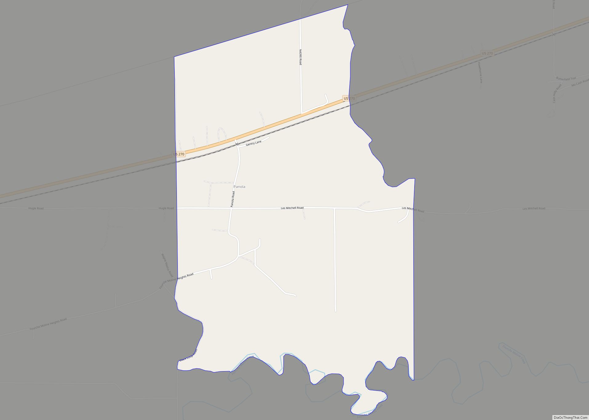
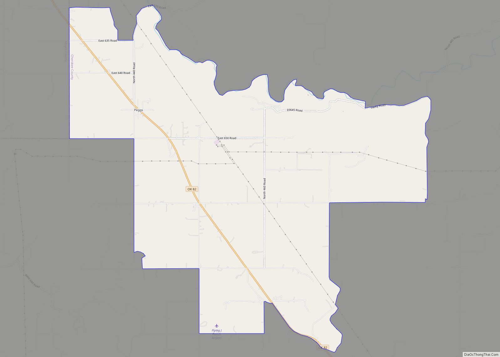
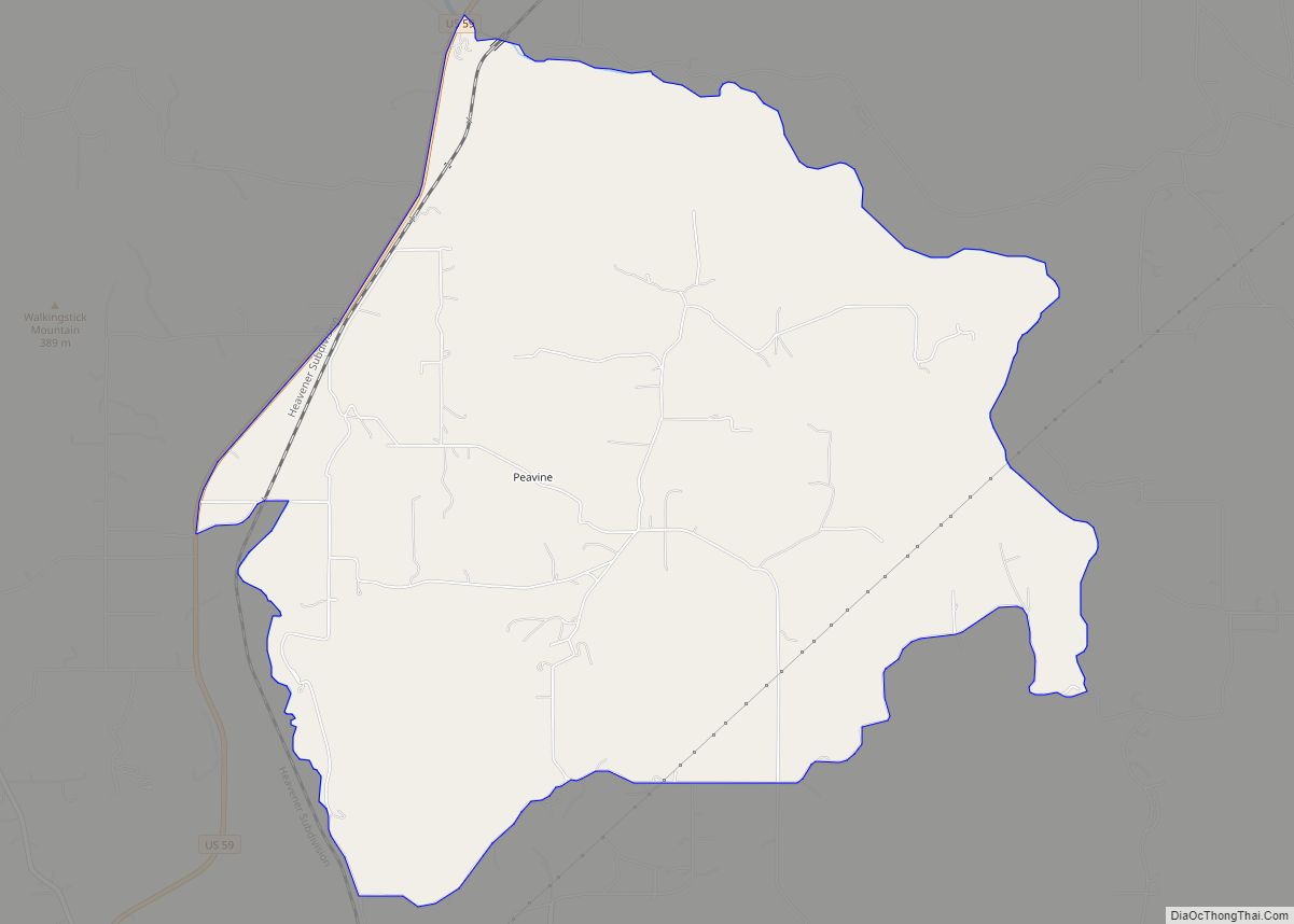
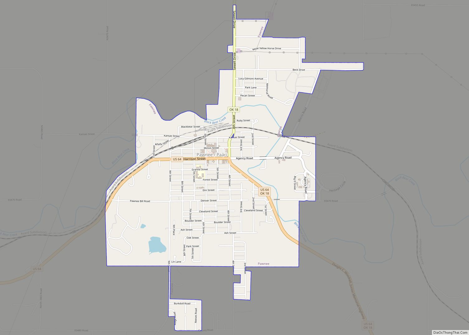
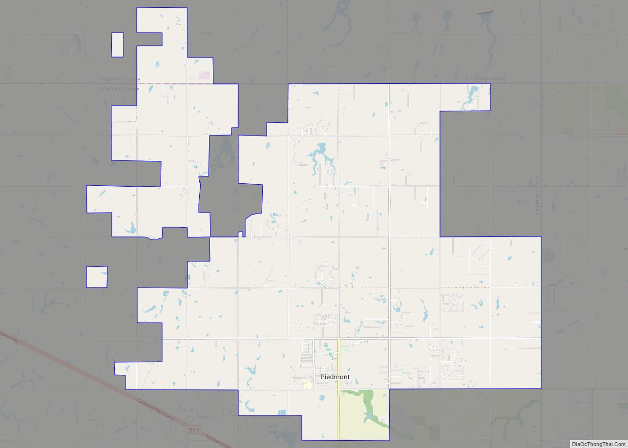
Map of Paden town, Oklahoma

Map of Paden town, Oklahoma

Paden is a town in Okfuskee County, Oklahoma, United States. The population was 461 at the 2010 census. It is named for Paden Tolbert, a U.S. Deputy Marshal who served the area in the early 1900s. Paden town overview: Name: Paden town LSAD Code: 43 LSAD Description: town (suffix) State: Oklahoma County: Okfuskee County Elevation: … Read more

Map of Owasso city

Map of Owasso city

Owasso is a city in Rogers and Tulsa Counties in the U.S. state of Oklahoma, and the largest northern suburb of Tulsa. The population was 38,732 persons as of the 2021 census estimate, compared to 28,915 at the 2010 census, a gain of 32.24 percent. Originally settled in 1881 in Indian Territory, the town was … Read more

Map of Perry city, Oklahoma

Map of Perry city, Oklahoma

Perry is a city in, and county seat of, Noble County, Oklahoma, United States. As of the 2010 census, the city population was 5,126, a 2.0 percent decrease from the figure of 5,230 in 2000. The city is home of Ditch Witch construction equipment. Perry city overview: Name: Perry city LSAD Code: 25 LSAD Description: … Read more

Map of Perkins city, Oklahoma

Map of Perkins city, Oklahoma

Perkins (Iowa-Oto: Pékinⁿ Chína^i) is a city in southern Payne County, Oklahoma, United States. The population was 2,831 at the 2010 census, an increase of 24.6 percent from the figure of 2,272 in 2000. The name is derived from Walden Perkins, a congressman who helped establish the local post office. The Iowa Tribe of Oklahoma … Read more

Map of Peoria town, Oklahoma

Map of Peoria town, Oklahoma

Peoria is a town in Ottawa County, Oklahoma, United States. It was named for the Peoria people, a tribe of Native Americans who were removed to Indian Territory from east of the Mississippi River during the 19th century. The territory had been occupied by the Quapaw people, who sold some of their land to the … Read more

Map of Pensacola town, Oklahoma

Map of Pensacola town, Oklahoma

Pensacola is a town in Mayes County, Oklahoma, United States. The population was 125 at the 2010 census, which represented a 76 percent increase from the figure of 71 recorded in 2000. Pensacola town overview: Name: Pensacola town LSAD Code: 43 LSAD Description: town (suffix) State: Oklahoma County: Mayes County Elevation: 666 ft (203 m) Total Area: … Read more

Map of Peggs CDP

Map of Peggs CDP

Peggs is an unincorporated community and census-designated place (CDP) in Cherokee County, Oklahoma, United States. It had a population of 813 at the 2010 census, compared to 814 at the 2000 census. A large minority of its residents are Native American, most of them members of 10 tribal groups such as the Cherokee Nation and … Read more

Map of Peavine CDP

Map of Peavine CDP

Peavine is a census-designated place (CDP) in Adair County, Oklahoma, United States. The population was 423 at the 2010 census. Peavine CDP overview: Name: Peavine CDP LSAD Code: 57 LSAD Description: CDP (suffix) State: Oklahoma County: Adair County Elevation: 1,096 ft (334 m) Total Area: 9.42 sq mi (24.39 km²) Land Area: 9.35 sq mi (24.22 km²) Water Area: 0.07 sq mi (0.17 km²) Total Population: … Read more

Map of Pawnee city, Oklahoma

Map of Pawnee city, Oklahoma

Pawnee (Pawnee: Paári, Iowa-Oto: Páñi Chína) is a city and county seat of Pawnee County, Oklahoma, United States. The town is northeast of Stillwater at the junction of U.S. Route 64 and State Highway 18. It was named for the Pawnee tribe, which was relocated to this area between 1873 and 1875. The population was … Read more

Map of Piedmont city, Oklahoma

Map of Piedmont city, Oklahoma

Piedmont is a city primarily in Canadian County, Oklahoma, United States, though a small part of it is in Kingfisher County. It is a part of the Oklahoma City Metropolitan Area. The population was 5,720 at the 2010 census, a 56.7 percent increase from 3,650 in 2000. Piedmont is a home rule city served by … Read more

Map of Phillips town, Oklahoma

Map of Phillips town, Oklahoma

Phillips is a town in Coal County, Oklahoma, United States. The population was 135 at the 2010 census. Phillips town overview: Name: Phillips town LSAD Code: 43 LSAD Description: town (suffix) State: Oklahoma County: Coal County Elevation: 594 ft (181 m) Total Area: 0.53 sq mi (1.37 km²) Land Area: 0.53 sq mi (1.36 km²) Water Area: 0.00 sq mi (0.01 km²) Total Population: 122 Population … Read more

Map of Pettit CDP

Map of Pettit CDP

Pettit is an unincorporated community and census-designated place (CDP) in Cherokee County, Oklahoma, United States. The population was 954 at the 2010 census, a 23.7 percent increase over the figure of 771 recorded in 2000. The town was named for Mark and Eliza Pettit, townsite allottees. Pettit CDP overview: Name: Pettit CDP LSAD Code: 57 … Read more