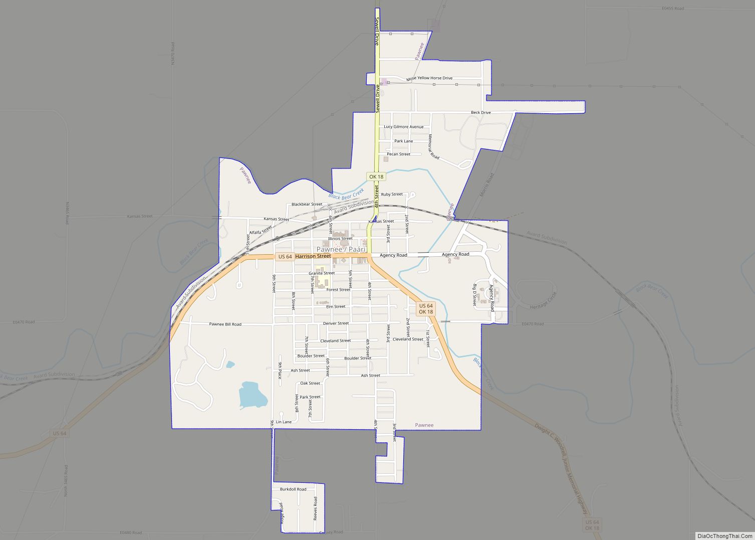
Pawnee (Pawnee: Paári, Iowa-Oto: Páñi Chína) is a city and county seat of Pawnee County, Oklahoma, United States. The town is northeast of Stillwater at the junction of U.S. Route 64 and State Highway 18.
It was named for the Pawnee tribe, which was relocated to this area between 1873 and 1875. The population was 2,190 at the 2010 census, a decline of 1.5 percent from the figure of 2,230 recorded in 2000.
| Name: | Pawnee city |
|---|---|
| LSAD Code: | 25 |
| LSAD Description: | city (suffix) |
| State: | Oklahoma |
| County: | Pawnee County |
| Elevation: | 869 ft (265 m) |
| Total Area: | 3.62 sq mi (9.38 km²) |
| Land Area: | 3.14 sq mi (8.13 km²) |
| Water Area: | 0.48 sq mi (1.25 km²) |
| Total Population: | 1,936 |
| Population Density: | 616.76/sq mi (238.14/km²) |
| ZIP code: | 74058 |
| Area code: | 539/918 |
| FIPS code: | 4057650 |
| GNISfeature ID: | 1096479 |
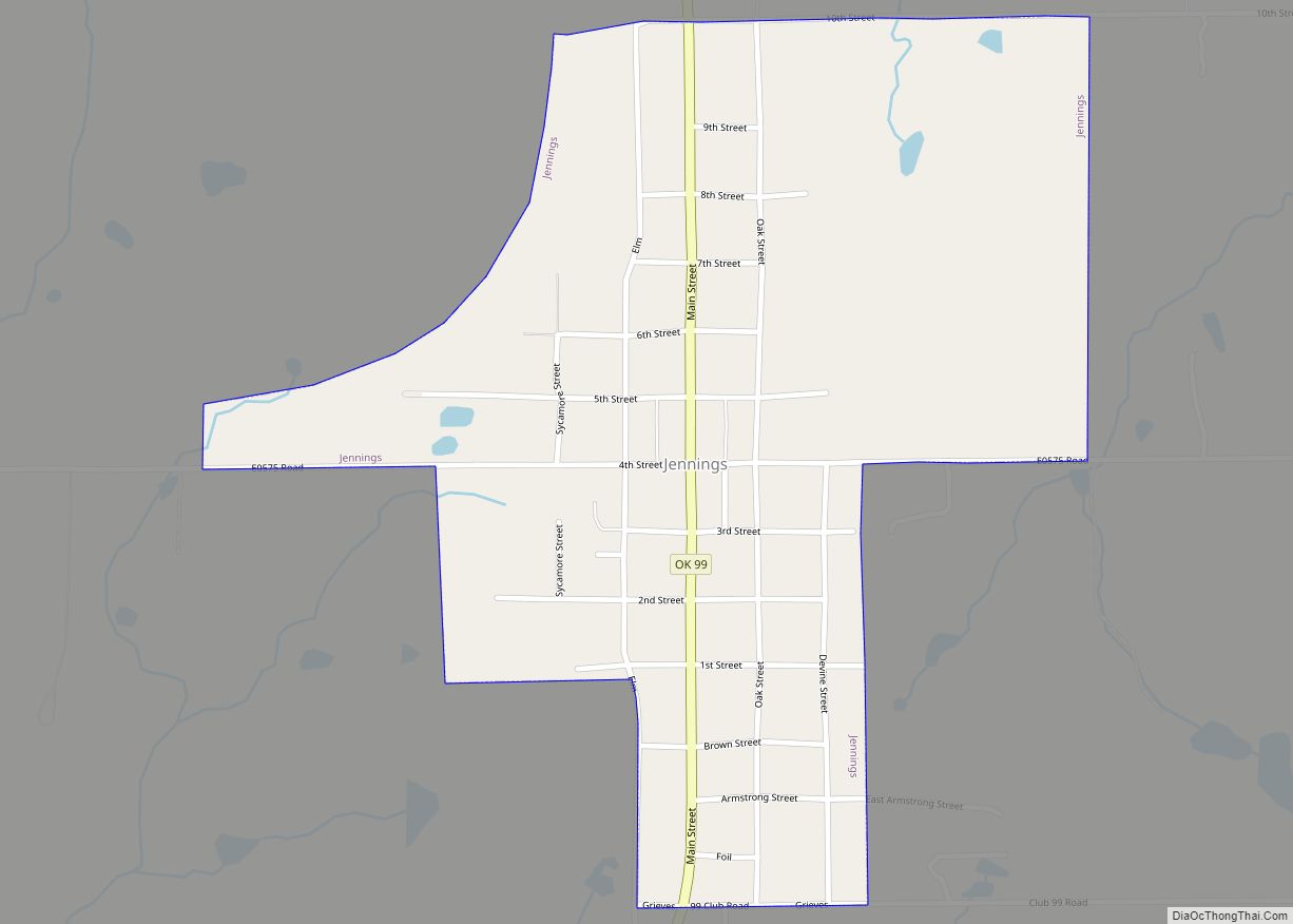
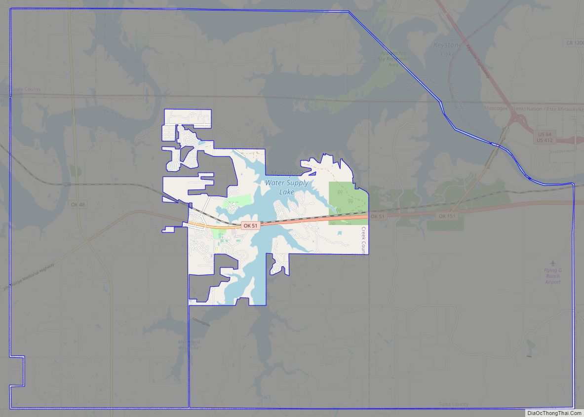
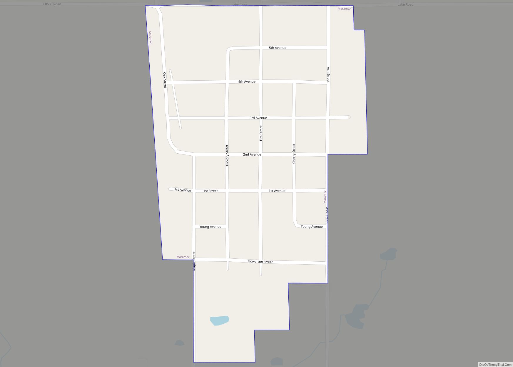
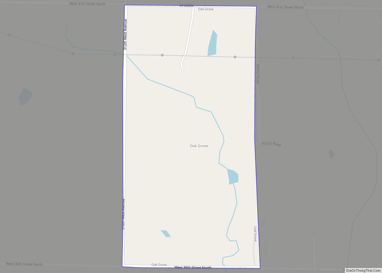
Online Interactive Map
Click on ![]() to view map in "full screen" mode.
to view map in "full screen" mode.
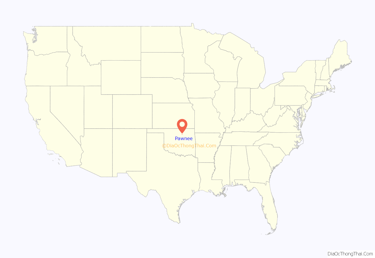
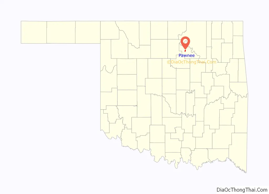
Pawnee location map. Where is Pawnee city?
History
The Pawnee Agency and Pawnee Boarding School were established after the Pawnee tribe came to this area in 1875. The Pawnee Agency was designated as a post office on May 4, 1876. The area was opened to non-Indian settlers on September 16, 1893, during the Cherokee Outlet Opening. Townsite Number Thirteen (later Pawnee) had been designated as the temporary county seat. The post office was redesignated from Pawnee Agency to Pawnee on October 26, 1893. The town incorporated on April 16, 1894. On September 9, 1895, the townspeople dedicated a stone county courthouse.
The Eastern Oklahoma Railway, which later became part of the Atchison, Topeka and Santa Fe Railway, built a line through Pawnee between 1900 and 1902. In 1902, the Arkansas Valley and Western Railway (later the St. Louis and San Francisco Railway) also built a line through the city. The railroads enabled Pawnee to develop as an agricultural trade center. The population was 1,943 at statehood in 1907.
Pawnee continued to develop during the Great Depression, largely because of Federal works projects. A hospital to care for the Ponca, Pawnee, Kaw, Otoe, and Tonkawa people opened January 15, 1931. A new school building at the Osage Agency opened in 1932. The federal government built a reservoir named Pawnee Lake in 1932. A new county courthouse was also built in 1932.
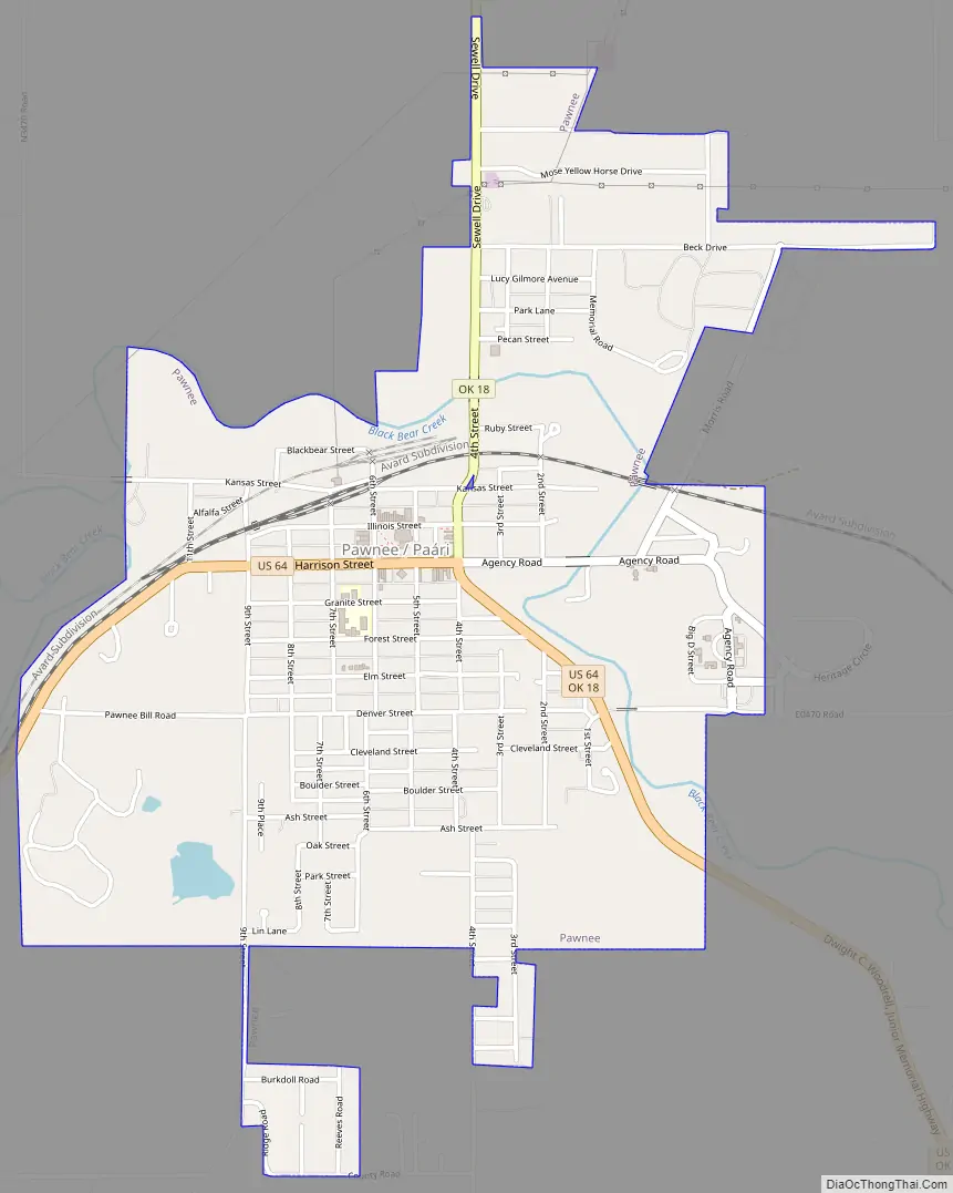
Pawnee Road Map
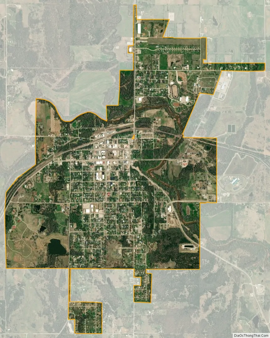
Pawnee city Satellite Map
Geography
Pawnee is located at 36°20′11″N 96°48′5″W / 36.33639°N 96.80139°W / 36.33639; -96.80139 (36.336260, -96.801494). According to the United States Census Bureau, the city has a total area of 2.2 square miles (5.7 km), all land.
See also
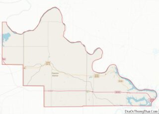
Map of Oklahoma State and its subdivision:- Adair
- Alfalfa
- Atoka
- Beaver
- Beckham
- Blaine
- Bryan
- Caddo
- Canadian
- Carter
- Cherokee
- Choctaw
- Cimarron
- Cleveland
- Coal
- Comanche
- Cotton
- Craig
- Creek
- Custer
- Delaware
- Dewey
- Ellis
- Garfield
- Garvin
- Grady
- Grant
- Greer
- Harmon
- Harper
- Haskell
- Hughes
- Jackson
- Jefferson
- Johnston
- Kay
- Kingfisher
- Kiowa
- Latimer
- Le Flore
- Lincoln
- Logan
- Love
- Major
- Marshall
- Mayes
- McClain
- McCurtain
- McIntosh
- Murray
- Muskogee
- Noble
- Nowata
- Okfuskee
- Oklahoma
- Okmulgee
- Osage
- Ottawa
- Pawnee
- Payne
- Pittsburg
- Pontotoc
- Pottawatomie
- Pushmataha
- Roger Mills
- Rogers
- Seminole
- Sequoyah
- Stephens
- Texas
- Tillman
- Tulsa
- Wagoner
- Washington
- Washita
- Woods
- Woodward
- Alabama
- Alaska
- Arizona
- Arkansas
- California
- Colorado
- Connecticut
- Delaware
- District of Columbia
- Florida
- Georgia
- Hawaii
- Idaho
- Illinois
- Indiana
- Iowa
- Kansas
- Kentucky
- Louisiana
- Maine
- Maryland
- Massachusetts
- Michigan
- Minnesota
- Mississippi
- Missouri
- Montana
- Nebraska
- Nevada
- New Hampshire
- New Jersey
- New Mexico
- New York
- North Carolina
- North Dakota
- Ohio
- Oklahoma
- Oregon
- Pennsylvania
- Rhode Island
- South Carolina
- South Dakota
- Tennessee
- Texas
- Utah
- Vermont
- Virginia
- Washington
- West Virginia
- Wisconsin
- Wyoming