Map of Wilson city, Oklahoma
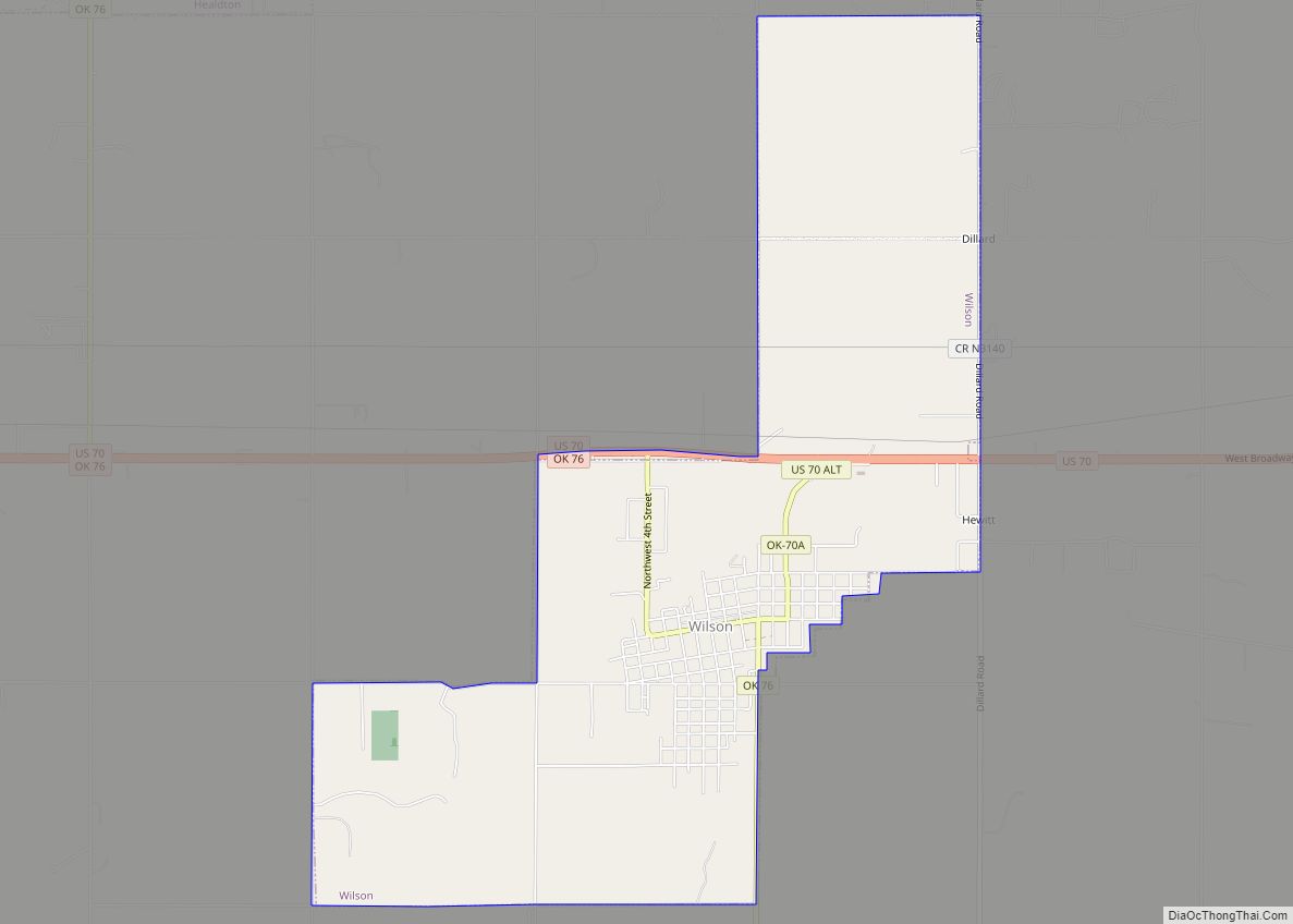
Wilson is a town in Carter County, Oklahoma, United States. The population was 1,724 at the 2010 census. It is part of the Ardmore, Oklahoma Micropolitan Statistical Area. It is home to one of the oldest Assemblies of God churches in Oklahoma, the Wilson Assembly of God Church. Wilson city overview: Name: Wilson city LSAD ... Read more
Map of Wilson city, Oklahoma
Map of Willow town, Oklahoma
Willow is a town in Greer County, Oklahoma, United States. The population was 149 at the 2010 census. Willow town overview: Name: Willow town LSAD Code: 43 LSAD Description: town (suffix) State: Oklahoma County: Greer County Elevation: 1,742 ft (531 m) Total Area: 0.26 sq mi (0.68 km²) Land Area: 0.26 sq mi (0.68 km²) Water Area: 0.00 sq mi (0.00 km²) Total Population: 119 Population ... Read more
Map of Willow town, Oklahoma
Map of Wilburton city
Wilburton is a city in Latimer County, Oklahoma, United States. It is the county seat of Latimer County. The city had a population of 2,843 at the 2010 census, a decline of 4.3 percent from the figure of 2,972 recorded in 2000. Robbers Cave State Park is 5 miles (8.0 km) north of Wilburton. Wilburton city ... Read more
Map of Wilburton city
Map of Wickliffe CDP, Oklahoma
Wickliffe is a census-designated place (CDP) in Mayes County, Oklahoma, United States. The population was 99 at the 2000 census, which declined to 75 in 2010, a drop of 25 percent. Wickliffe CDP overview: Name: Wickliffe CDP LSAD Code: 57 LSAD Description: CDP (suffix) State: Oklahoma County: Mayes County Total Area: 9.38 sq mi (24.30 km²) Land Area: ... Read more
Map of Wickliffe CDP, Oklahoma
Map of Whitesboro CDP, Oklahoma
Whitesboro is an unincorporated community and census-designated place (CDP) in Le Flore County, Oklahoma, United States. The population was 250 as of the 2010 census. A post office opened at Whitesboro, Indian Territory on April 14, 1902. The community took its name from Paul White, an early-day settler. At the time of its founding, Whitesboro ... Read more
Map of Whitesboro CDP, Oklahoma
Map of Whitefield town, Oklahoma
Whitefield is a town in northwestern Haskell County, Oklahoma, United States. The population was 391 at the 2010 census, compared with the figure of 231 recorded in 2000. It was named for Methodist bishop George Whitefield (1714 – 1770). Whitefield town overview: Name: Whitefield town LSAD Code: 43 LSAD Description: town (suffix) State: Oklahoma County: ... Read more
Map of Whitefield town, Oklahoma
Map of Woodward city, Oklahoma
Woodward city overview: Name: Woodward city LSAD Code: 25 LSAD Description: city (suffix) State: Oklahoma County: Woodward County Elevation: 1,909 ft (582 m) Total Area: 13.18 sq mi (34.13 km²) Land Area: 13.12 sq mi (33.98 km²) Water Area: 0.06 sq mi (0.15 km²) Total Population: 12,133 Population Density: 924.63/sq mi (357.01/km²) ZIP code: 73801-73802 Area code: 580 FIPS code: 4082150 GNISfeature ID: 1100006 Website: cityofwoodward-ok.gov Online ... Read more
Map of Woodward city, Oklahoma
Map of Zena CDP, Oklahoma
Zena is a census-designated place (CDP) in Delaware County, Oklahoma, United States, along State Highway 127. The population was 122 at the 2010 census. Established on Courthouse Prairie in District 5 of the old Indian Territory, its post office existed from April 11, 1896, until January 31, 1956. It is said to have been named ... Read more
Map of Zena CDP, Oklahoma
Map of Zeb CDP
Zeb is an unincorporated community and census-designated place (CDP) in Cherokee County, Oklahoma, United States. The population was 497 at the 2010 census. Zeb CDP overview: Name: Zeb CDP LSAD Code: 57 LSAD Description: CDP (suffix) State: Oklahoma County: Cherokee County Elevation: 784 ft (239 m) Total Area: 8.69 sq mi (22.51 km²) Land Area: 8.69 sq mi (22.51 km²) Water Area: 0.00 sq mi ... Read more
Map of Zeb CDP
Map of Yukon city, Oklahoma
Yukon is a city in eastern Canadian County, Oklahoma, United States. It is part of the Oklahoma City Metropolitan Area. The population was 22,709 at the 2010 census. Founded in the 1890s, the town was named in reference to a gold rush in Yukon Territory, Canada, at the time. Historically, Yukon served as an urban ... Read more
Map of Yukon city, Oklahoma
Map of Yeager town
Yeager is a town in Hughes County, Oklahoma, United States. The population was 75 at the 2010 census. Developed in the early 1900s, the town grew with the help of an oil and gas field, but has always had a low population. Yeager town overview: Name: Yeager town LSAD Code: 43 LSAD Description: town (suffix) ... Read more
Map of Yeager town
Map of Yale city, Oklahoma
Yale is a city in Payne County, Oklahoma, United States. The population was 1,059 at the 2020 census, a decline of 13.6 percent from the figure of 1,227 in 2010. Yale city overview: Name: Yale city LSAD Code: 25 LSAD Description: city (suffix) State: Oklahoma County: Payne County Elevation: 810 ft (250 m) Total Area: 0.92 sq mi (2.37 km²) ... Read more
Map of Yale city, Oklahoma