Wilburton is a city in Latimer County, Oklahoma, United States. It is the county seat of Latimer County. The city had a population of 2,843 at the 2010 census, a decline of 4.3 percent from the figure of 2,972 recorded in 2000. Robbers Cave State Park is 5 miles (8.0 km) north of Wilburton.
| Name: | Wilburton city |
|---|---|
| LSAD Code: | 25 |
| LSAD Description: | city (suffix) |
| State: | Oklahoma |
| County: | Latimer County |
| Elevation: | 659 ft (201 m) |
| Total Area: | 3.13 sq mi (8.10 km²) |
| Land Area: | 3.11 sq mi (8.05 km²) |
| Water Area: | 0.02 sq mi (0.05 km²) |
| Total Population: | 2,285 |
| Population Density: | 735.20/sq mi (283.84/km²) |
| ZIP code: | 74578 |
| Area code: | 539/918 |
| FIPS code: | 4081000 |
| Website: | cityofwilburton.com |
Online Interactive Map
Click on ![]() to view map in "full screen" mode.
to view map in "full screen" mode.
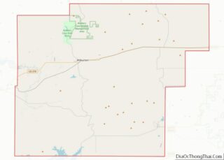
Wilburton location map. Where is Wilburton city?


History
The community now known as Wilburton was originally established as a group of settlers living around Riddle’s Station, a stop for the Butterfield Overland Mail stagecoach along the trail from Fort Smith, Arkansas to Fort Worth, Texas. Riddle’s Station was built in 1858 and the Overland Stage operated from 1857 to 1861. According to the Oklahoma Encyclopedia of History and Culture, it was likely named for Will Burton, a contractor and surveyor who was involved in platting the townsite and building the Choctaw Coal and Railway Company line from Wister to McAlester. According to Oklahoma Place Names, it was named after Elisha Wilbur, who was the president of the Lehigh Valley Railroad. The post office was established at Wilburton, Indian Territory in 1891. At the time of its founding, the community was located in Sans Bois County, a part of the Moshulatubbee District of the Choctaw Nation.
A tornado struck Wilburton on May 5, 1960, and injured more than one hundred people and killed thirteen.
Initially, the local economy was based on cattle production and shipping. Then, during the 1890s and early 20th century, coal mining became the largest industry. In 1909, the state established the Oklahoma School of Mines and Metallurgy in Wilburton. The school name was later changed to Eastern Oklahoma A&M College and it is now known as Eastern Oklahoma State College.
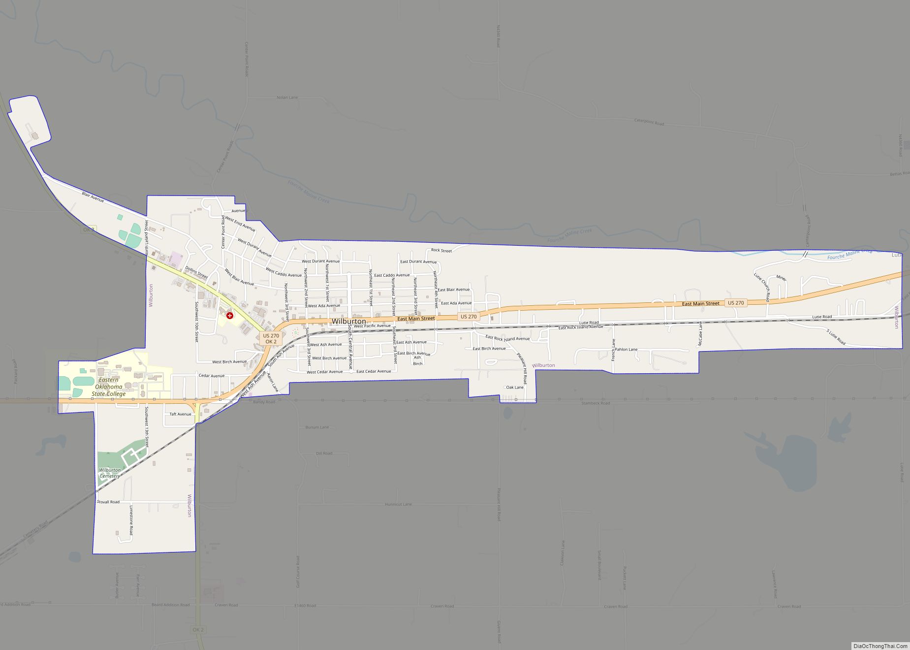
Wilburton Road Map

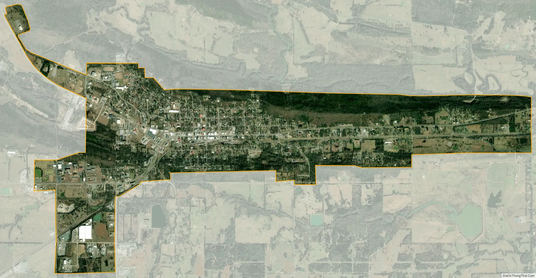
Wilburton city Satellite Map
Geography
Wilburton is located at 34°55′6″N 95°18′38″W / 34.91833°N 95.31056°W / 34.91833; -95.31056 (34.918379, -95.310645). According to the United States Census Bureau, the city has a total area of 3.0 square miles (7.8 km), of which 3.0 square miles (7.8 km) is land and 0.33% is water.
See also
Map of Oklahoma State and its subdivision:- Adair
- Alfalfa
- Atoka
- Beaver
- Beckham
- Blaine
- Bryan
- Caddo
- Canadian
- Carter
- Cherokee
- Choctaw
- Cimarron
- Cleveland
- Coal
- Comanche
- Cotton
- Craig
- Creek
- Custer
- Delaware
- Dewey
- Ellis
- Garfield
- Garvin
- Grady
- Grant
- Greer
- Harmon
- Harper
- Haskell
- Hughes
- Jackson
- Jefferson
- Johnston
- Kay
- Kingfisher
- Kiowa
- Latimer
- Le Flore
- Lincoln
- Logan
- Love
- Major
- Marshall
- Mayes
- McClain
- McCurtain
- McIntosh
- Murray
- Muskogee
- Noble
- Nowata
- Okfuskee
- Oklahoma
- Okmulgee
- Osage
- Ottawa
- Pawnee
- Payne
- Pittsburg
- Pontotoc
- Pottawatomie
- Pushmataha
- Roger Mills
- Rogers
- Seminole
- Sequoyah
- Stephens
- Texas
- Tillman
- Tulsa
- Wagoner
- Washington
- Washita
- Woods
- Woodward
- Alabama
- Alaska
- Arizona
- Arkansas
- California
- Colorado
- Connecticut
- Delaware
- District of Columbia
- Florida
- Georgia
- Hawaii
- Idaho
- Illinois
- Indiana
- Iowa
- Kansas
- Kentucky
- Louisiana
- Maine
- Maryland
- Massachusetts
- Michigan
- Minnesota
- Mississippi
- Missouri
- Montana
- Nebraska
- Nevada
- New Hampshire
- New Jersey
- New Mexico
- New York
- North Carolina
- North Dakota
- Ohio
- Oklahoma
- Oregon
- Pennsylvania
- Rhode Island
- South Carolina
- South Dakota
- Tennessee
- Texas
- Utah
- Vermont
- Virginia
- Washington
- West Virginia
- Wisconsin
- Wyoming