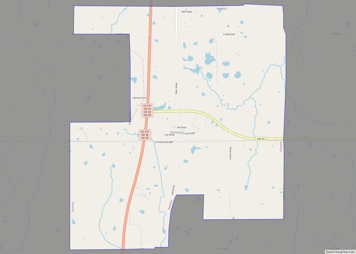
Bowlegs is a town in Seminole County, Oklahoma, United States. The population was 405 at the 2010 census. Bowlegs town overview: Name: Bowlegs town LSAD Code: 43 LSAD Description: town (suffix) State: Oklahoma County: Seminole County Elevation: 938 ft (286 m) Total Area: 3.72 sq mi (9.64 km²) Land Area: 3.72 sq mi (9.64 km²) Water Area: 0.00 sq mi (0.00 km²) Total Population: 357 Population ... Read more
Oklahoma Cities and Places
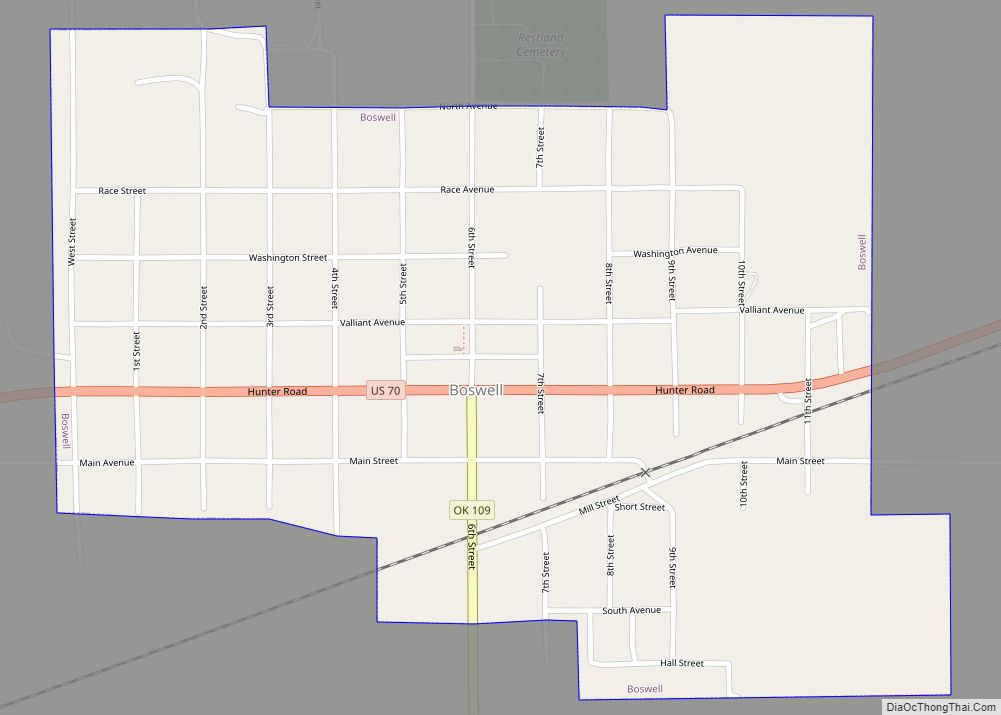
Boswell is a town in Choctaw County, Oklahoma, United States. The population was 709 at the 2010 census. Boswell town overview: Name: Boswell town LSAD Code: 43 LSAD Description: town (suffix) State: Oklahoma County: Choctaw County Elevation: 610 ft (186 m) Total Area: 0.77 sq mi (1.99 km²) Land Area: 0.76 sq mi (1.96 km²) Water Area: 0.01 sq mi (0.03 km²) Total Population: 579 Population ... Read more
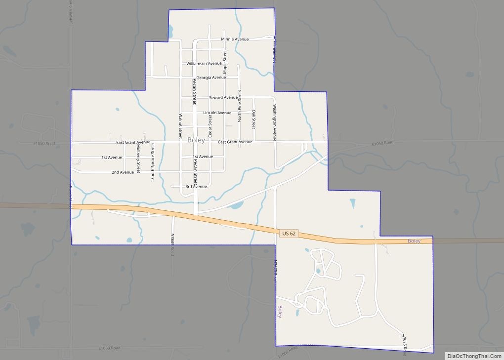
Boley is a town in Okfuskee County, Oklahoma, United States. The population was 1,184 at the 2010 census, a gain of 5.2 percent from the figure of 1,126 recorded in 2000. Boley was incorporated in 1905 as a predominantly Black pioneer town with persons having Native American ancestry among its citizens. Boley is currently home ... Read more
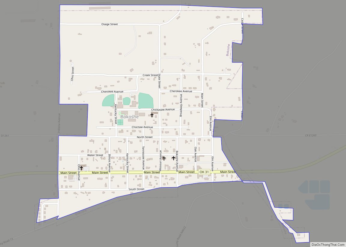
Bokoshe (/bəˈkoʊʃə/ bə-KOH-shə) is a town in Le Flore County, Oklahoma, United States. It is part of the Fort Smith, Arkansas-Oklahoma metropolitan statistical area. Bokoshe is a Choctaw word meaning “little creek”. The population was 396 at the 2020 census, a 22.3% decrease over the figure of 510 recorded in 2010. Bokoshe town overview: Name: ... Read more
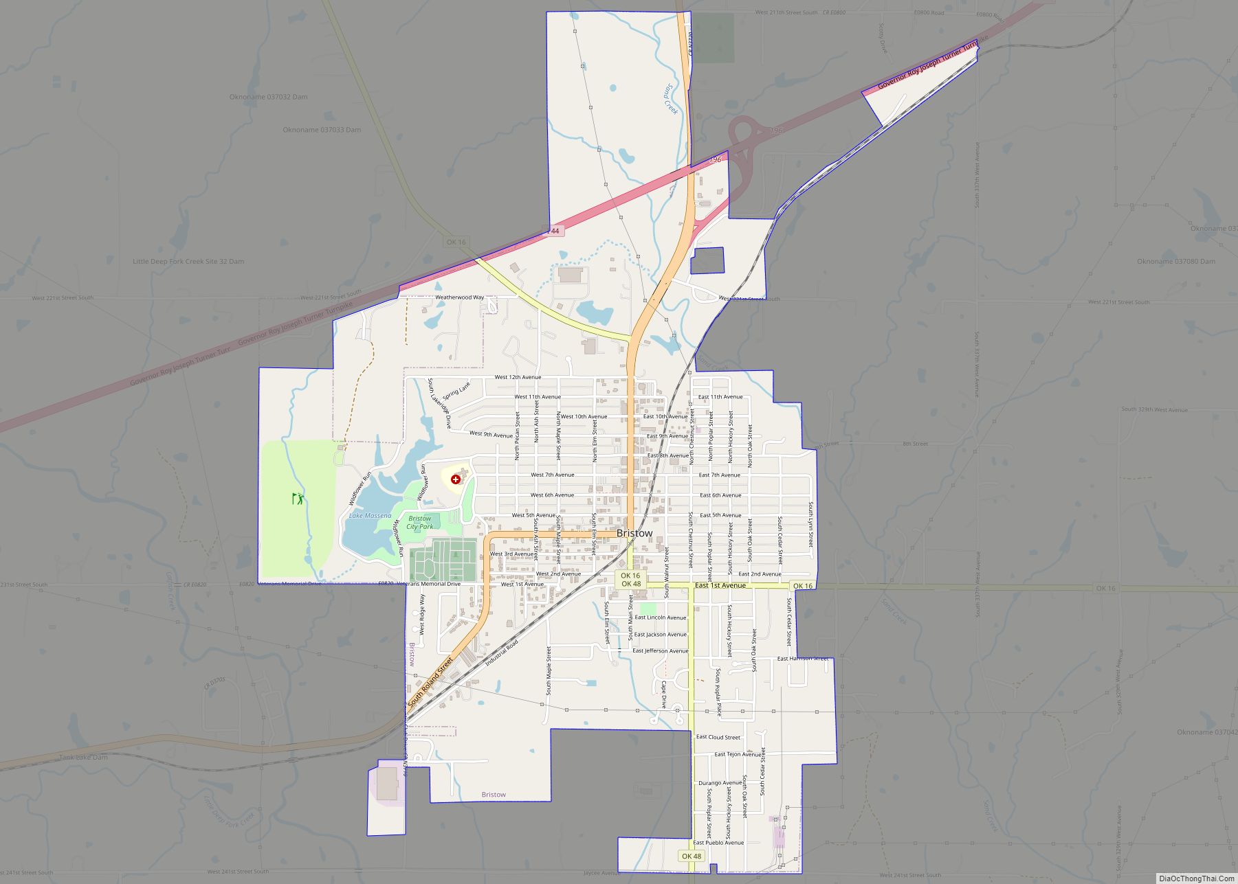
Bristow is a city in Creek County, Oklahoma, United States. The population was 4,222 at the 2010 census, down 2.4 percent from the figure of 4,325 recorded in 2000. Bristow city overview: Name: Bristow city LSAD Code: 25 LSAD Description: city (suffix) State: Oklahoma County: Creek County Elevation: 810 ft (250 m) Total Area: 3.53 sq mi (9.15 km²) Land ... Read more
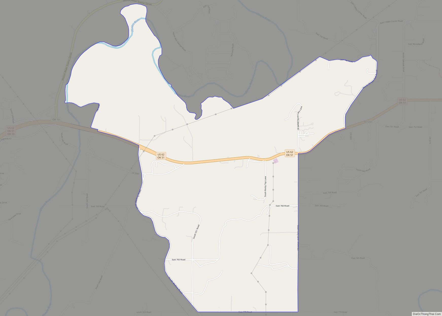
Briggs is an unincorporated community and census-designated place (CDP) in Cherokee County, Oklahoma, United States. The population was 303 at the 2010 census. Briggs CDP overview: Name: Briggs CDP LSAD Code: 57 LSAD Description: CDP (suffix) State: Oklahoma County: Cherokee County Elevation: 912 ft (278 m) Total Area: 8.54 sq mi (22.11 km²) Land Area: 8.44 sq mi (21.86 km²) Water Area: 0.09 sq mi ... Read more
Bridgeport is a town in Caddo County, Oklahoma, United States. The population was 116 at the 2010 census. Bridgeport city overview: Name: Bridgeport city LSAD Code: 25 LSAD Description: city (suffix) State: Oklahoma County: Caddo County Elevation: 1,503 ft (458 m) Total Area: 0.54 sq mi (1.39 km²) Land Area: 0.54 sq mi (1.39 km²) Water Area: 0.00 sq mi (0.00 km²) Total Population: 97 Population ... Read more
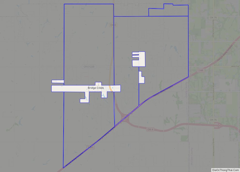
Bridge Creek is a town in Grady County, Oklahoma, United States. As of the 2020 census, the town population was 336, a 0% change from 2010. Bridge Creek town overview: Name: Bridge Creek town LSAD Code: 43 LSAD Description: town (suffix) State: Oklahoma County: Grady County Elevation: 1,378 ft (420 m) Total Area: 1.57 sq mi (4.07 km²) Land Area: ... Read more
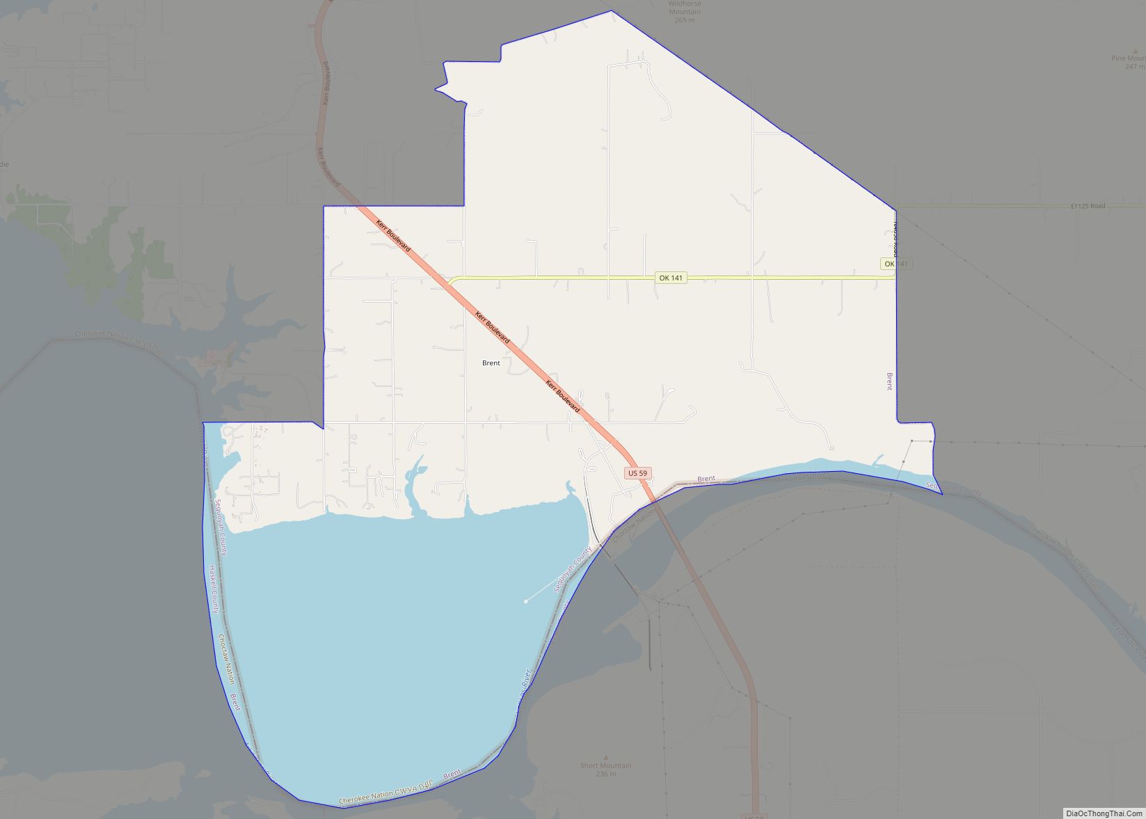
Brent is a census-designated place (CDP) in Sequoyah County, Oklahoma, United States, south of Sallisaw. It is part of the Fort Smith, Arkansas-Oklahoma Metropolitan Statistical Area. The population was 504 at the 2000 census. The post office opened May 6, 1896 and closed May 31, 1929. It was located in District 11 of the old ... Read more
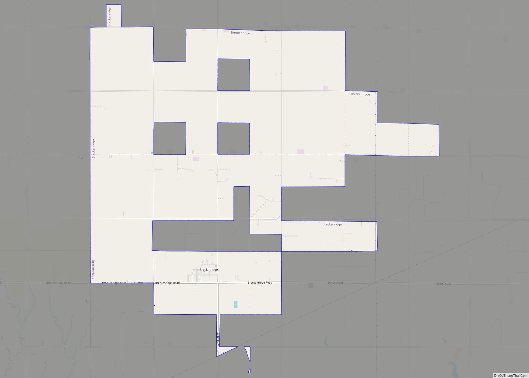
Breckinridge is a town in Garfield County, Oklahoma, United States. The population was 245 at the 2010 census. Breckenridge town overview: Name: Breckenridge town LSAD Code: 43 LSAD Description: town (suffix) State: Oklahoma County: Garfield County Elevation: 1,198 ft (365 m) Total Area: 15.29 sq mi (39.59 km²) Land Area: 15.23 sq mi (39.45 km²) Water Area: 0.06 sq mi (0.15 km²) Total Population: 199 Population ... Read more
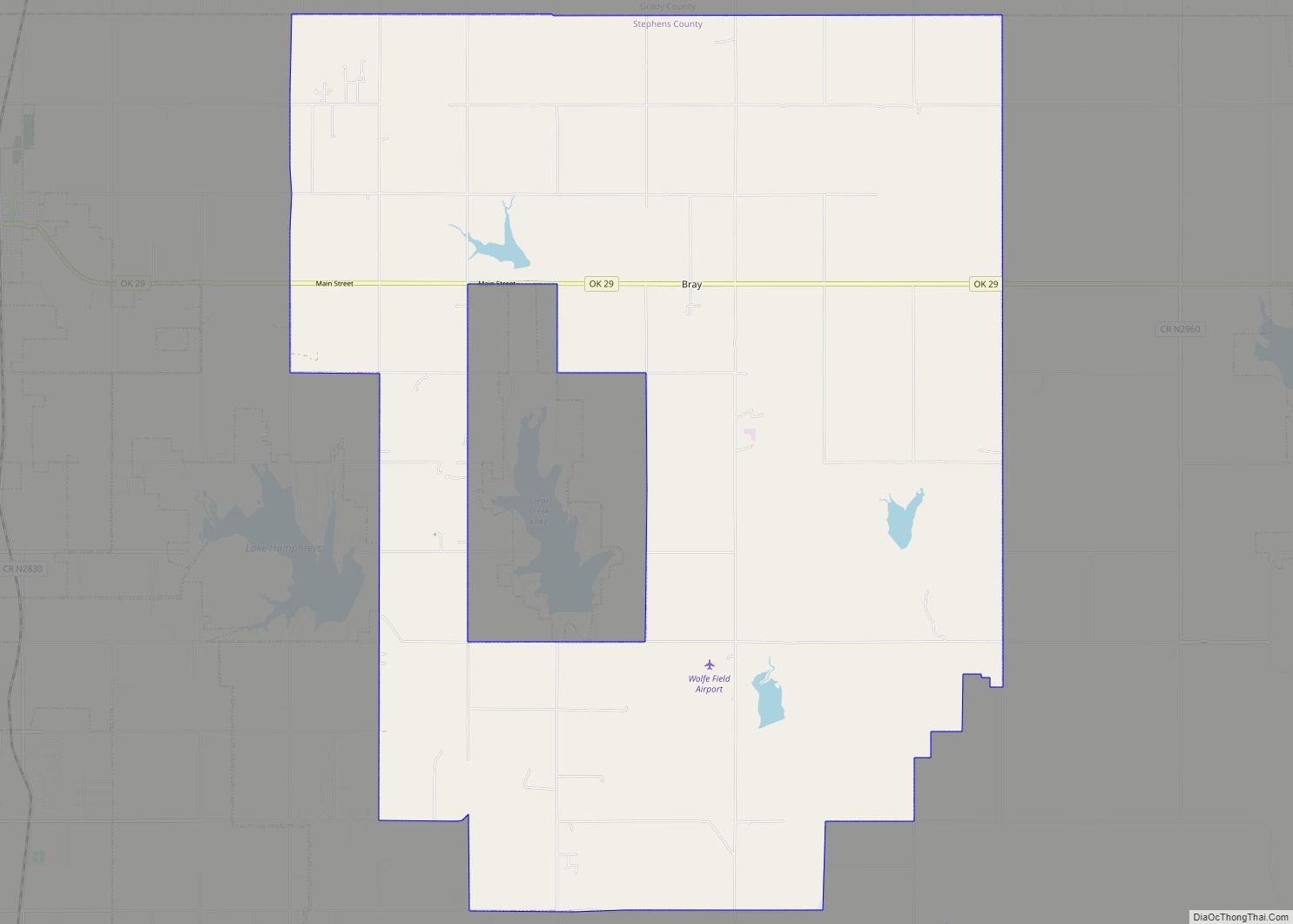
Bray is a town in Stephens County, Oklahoma, United States. The population was 1,209 at the 2010 census. Bray town overview: Name: Bray town LSAD Code: 43 LSAD Description: town (suffix) State: Oklahoma County: Stephens County Elevation: 1,260 ft (384 m) Total Area: 62.90 sq mi (162.90 km²) Land Area: 61.59 sq mi (159.51 km²) Water Area: 1.31 sq mi (3.39 km²) Total Population: 952 Population ... Read more
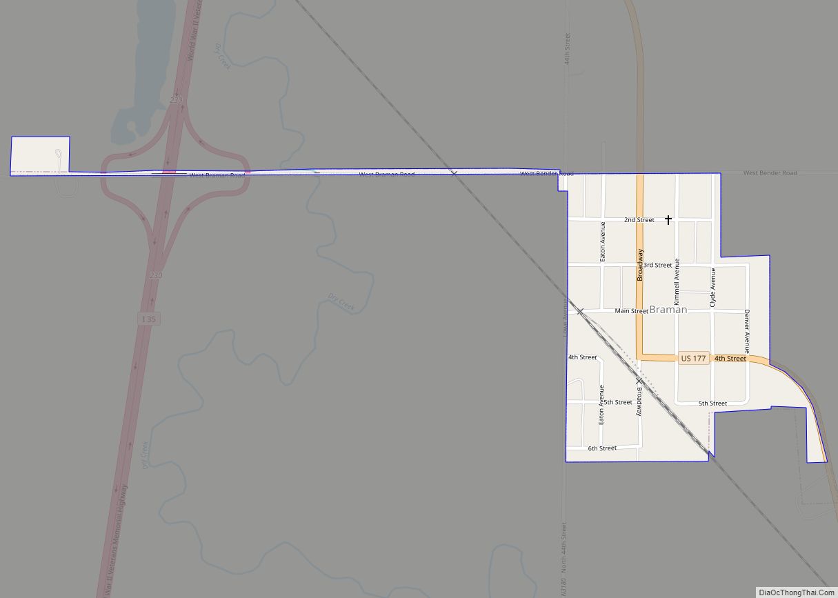
Braman is a town in Kay County, Oklahoma, United States. The population was 217 at the 2010 census, a decline of 11.1 percent from the figure of 244 in 2000. Braman town overview: Name: Braman town LSAD Code: 43 LSAD Description: town (suffix) State: Oklahoma County: Kay County Elevation: 1,053 ft (321 m) Total Area: 0.20 sq mi (0.51 km²) ... Read more
