Bristow is a city in Creek County, Oklahoma, United States. The population was 4,222 at the 2010 census, down 2.4 percent from the figure of 4,325 recorded in 2000.
| Name: | Bristow city |
|---|---|
| LSAD Code: | 25 |
| LSAD Description: | city (suffix) |
| State: | Oklahoma |
| County: | Creek County |
| Elevation: | 810 ft (250 m) |
| Total Area: | 3.53 sq mi (9.15 km²) |
| Land Area: | 3.46 sq mi (8.96 km²) |
| Water Area: | 0.08 sq mi (0.20 km²) |
| Total Population: | 4,248 |
| Population Density: | 1,228.46/sq mi (474.34/km²) |
| ZIP code: | 74010 |
| Area code: | 539/918 |
| FIPS code: | 4008900 |
| GNISfeature ID: | 1090502 |
| Website: | www.cityofbristowok.org |
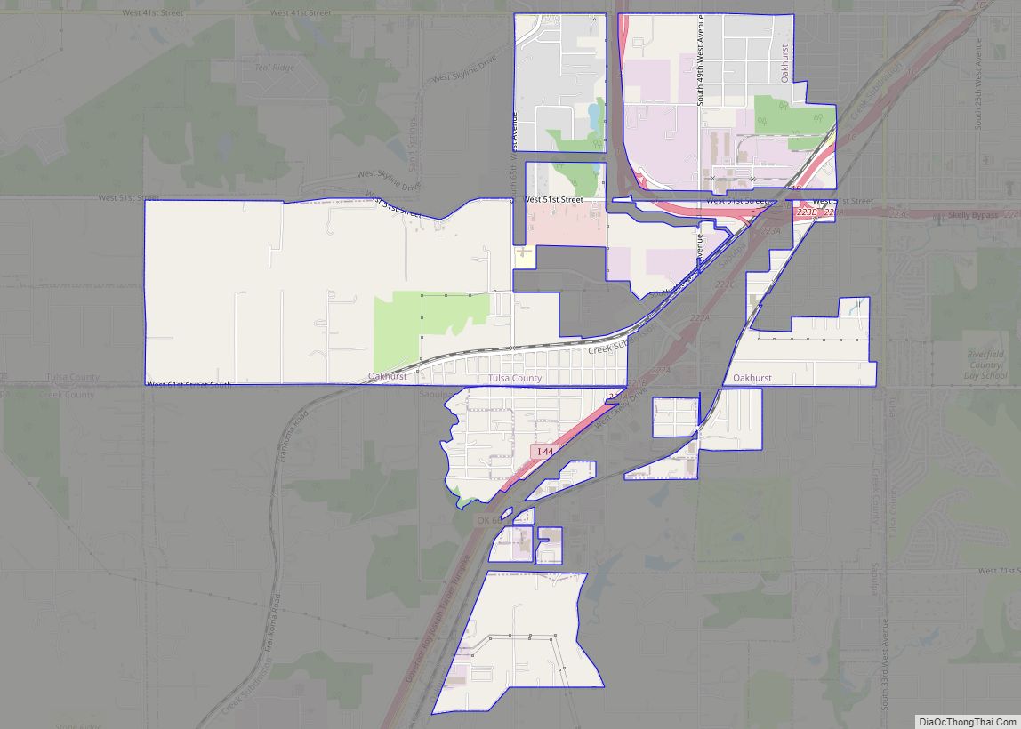
Online Interactive Map
Click on ![]() to view map in "full screen" mode.
to view map in "full screen" mode.
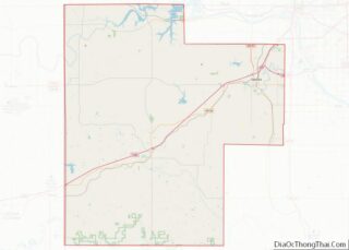
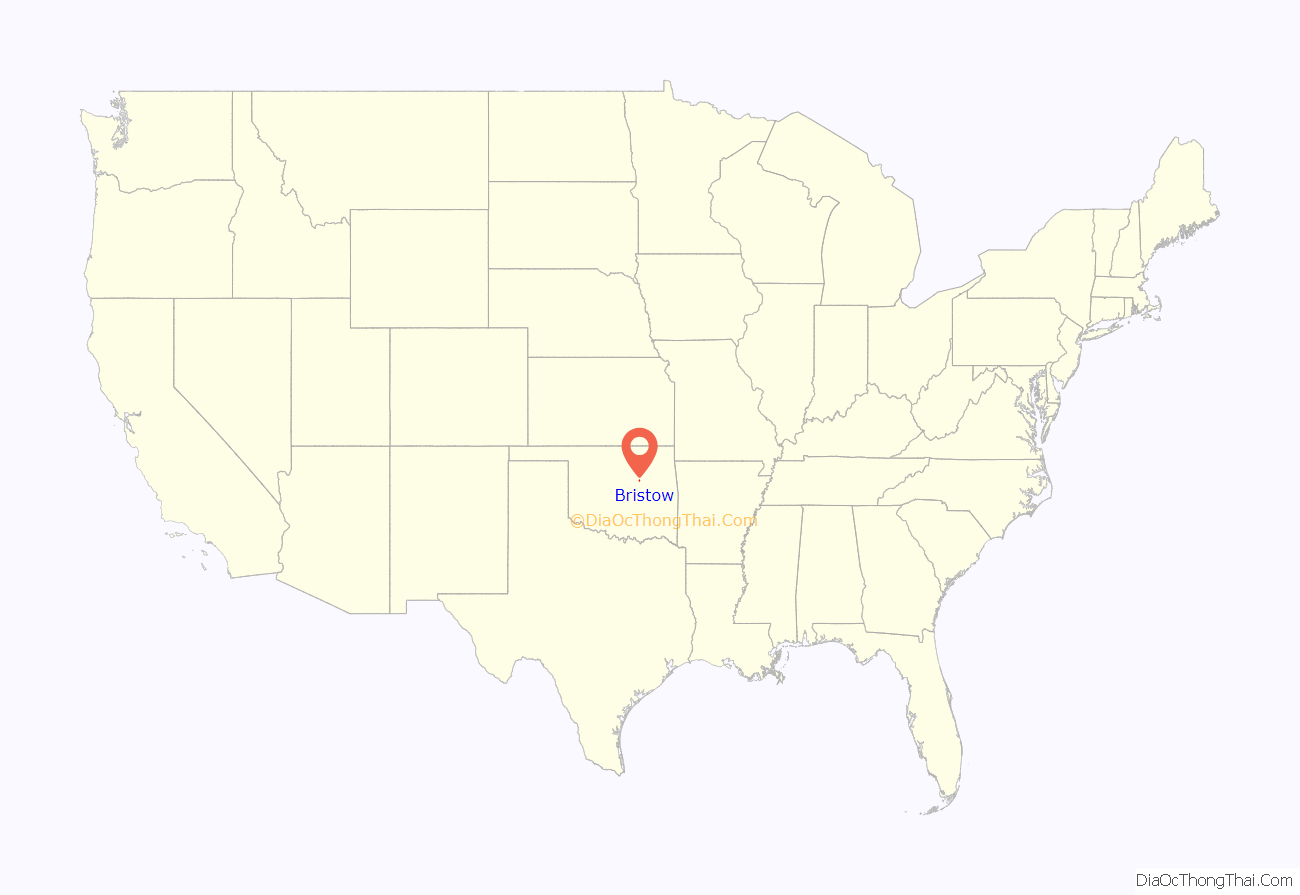
Bristow location map. Where is Bristow city?
History
Bristow began in 1898, when the St. Louis–San Francisco Railway (“SL&SF”) built a track between Sapulpa and Oklahoma City. The town was named for Joseph L. Bristow, a U.S. senator from Kansas. A post office was established April 25, 1898. By the 1900 census, the population was 626.
Bristow was designated as the county seat for Creek County at statehood when its population was 1,134. However, the county held a special election on August 20, 1908, to decide whether the seat would remain in Bristow or move to Sapulpa, which claimed to be more centrally located. Bristow had a larger population and claimed to have better railroad connections. Sapulpa won the election, but Bristow claimed voting irregularities. The election was voided and a new vote was held November 20, 1912. Again, Sapulpa won the election and the title of county seat.
The local economy depended heavily on cotton. Bristow had seven cotton gins and two cottonseed oil mills in the early 20th century. Other farms in the surrounding area produced corn, peanuts, potatoes and fruit. Oil and gas were discovered in the area around 1915. The discovery led to the construction of three refineries and four pipeline companies by 1930. The Oklahoma-Southwestern Railway built a short line from a connection with the SL&SF at Bristow through the oilfields to Slick in 1920, but declining oilfield production and other factors lead to abandonment of that trackage in 1930. The peak census population was 6,619 in 1930.
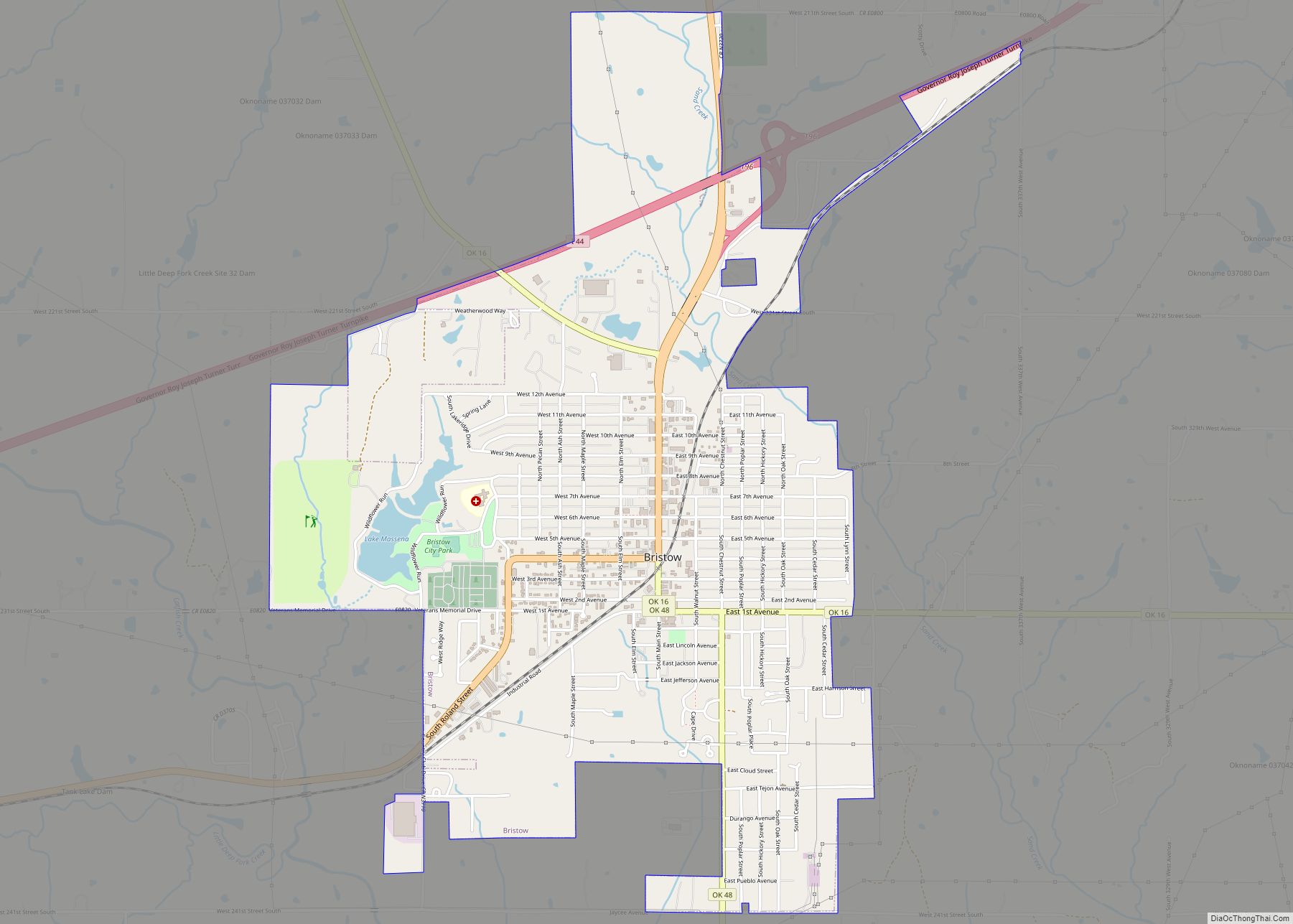
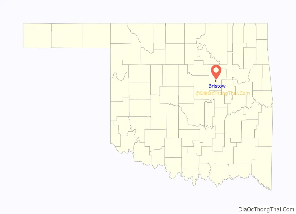
Bristow Road Map

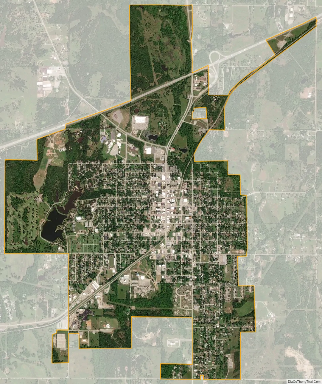
Bristow city Satellite Map
Geography
Bristow is located in northern Oklahoma, just south of the geographic center of Creek County. According to the United States Census Bureau, the city has a total area of 3.6 square miles (9.3 km), of which 3.6 square miles (9.2 km) is land and 0.08 square miles (0.2 km), or 1.66%, is water. The geographic coordinates of Bristow are 35°49′51″N 96°23′26″W / 35.83083°N 96.39056°W / 35.83083; -96.39056 (35.830720, -96.390675).
Interstate 44, the Turner Turnpike, passes through the northern part of the city, with access from Exit 196. I-44 leads northeast 20 miles (32 km) to Sapulpa and 33 miles (53 km) to downtown Tulsa, and southwest 76 miles (122 km) to Oklahoma City. Oklahoma State Highway 66, formerly U.S. Route 66, passes through the center of Bristow and generally parallels I-44.
Climate
See also
Map of Oklahoma State and its subdivision:- Adair
- Alfalfa
- Atoka
- Beaver
- Beckham
- Blaine
- Bryan
- Caddo
- Canadian
- Carter
- Cherokee
- Choctaw
- Cimarron
- Cleveland
- Coal
- Comanche
- Cotton
- Craig
- Creek
- Custer
- Delaware
- Dewey
- Ellis
- Garfield
- Garvin
- Grady
- Grant
- Greer
- Harmon
- Harper
- Haskell
- Hughes
- Jackson
- Jefferson
- Johnston
- Kay
- Kingfisher
- Kiowa
- Latimer
- Le Flore
- Lincoln
- Logan
- Love
- Major
- Marshall
- Mayes
- McClain
- McCurtain
- McIntosh
- Murray
- Muskogee
- Noble
- Nowata
- Okfuskee
- Oklahoma
- Okmulgee
- Osage
- Ottawa
- Pawnee
- Payne
- Pittsburg
- Pontotoc
- Pottawatomie
- Pushmataha
- Roger Mills
- Rogers
- Seminole
- Sequoyah
- Stephens
- Texas
- Tillman
- Tulsa
- Wagoner
- Washington
- Washita
- Woods
- Woodward
- Alabama
- Alaska
- Arizona
- Arkansas
- California
- Colorado
- Connecticut
- Delaware
- District of Columbia
- Florida
- Georgia
- Hawaii
- Idaho
- Illinois
- Indiana
- Iowa
- Kansas
- Kentucky
- Louisiana
- Maine
- Maryland
- Massachusetts
- Michigan
- Minnesota
- Mississippi
- Missouri
- Montana
- Nebraska
- Nevada
- New Hampshire
- New Jersey
- New Mexico
- New York
- North Carolina
- North Dakota
- Ohio
- Oklahoma
- Oregon
- Pennsylvania
- Rhode Island
- South Carolina
- South Dakota
- Tennessee
- Texas
- Utah
- Vermont
- Virginia
- Washington
- West Virginia
- Wisconsin
- Wyoming