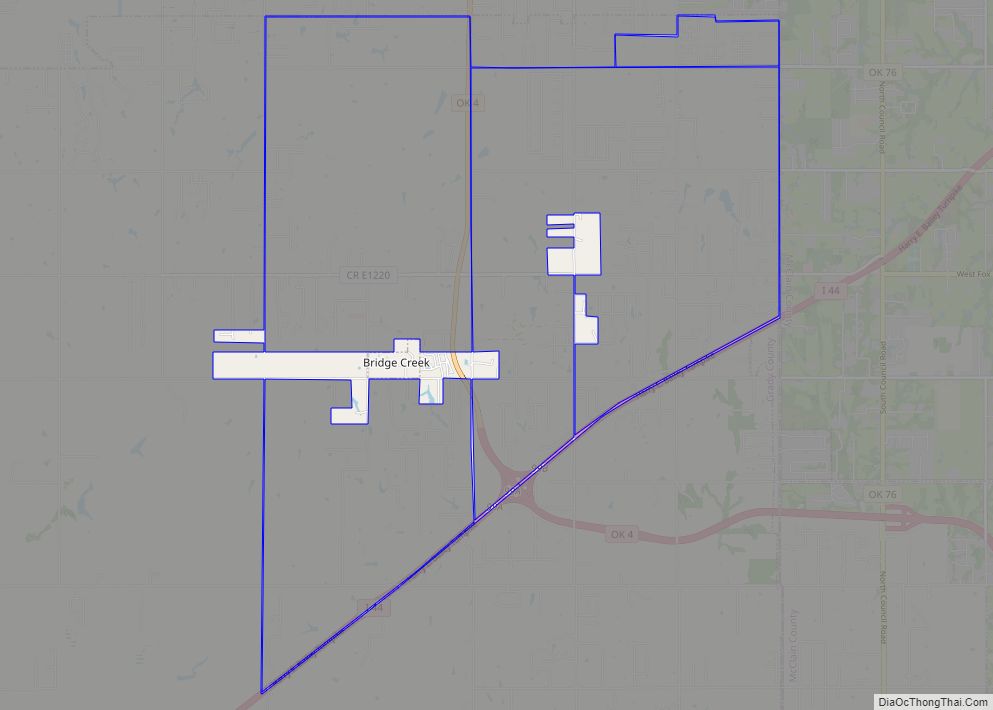
Bridge Creek is a town in Grady County, Oklahoma, United States. As of the 2020 census, the town population was 336, a 0% change from 2010.
| Name: | Bridge Creek town |
|---|---|
| LSAD Code: | 43 |
| LSAD Description: | town (suffix) |
| State: | Oklahoma |
| County: | Grady County |
| Elevation: | 1,378 ft (420 m) |
| Total Area: | 1.57 sq mi (4.07 km²) |
| Land Area: | 1.57 sq mi (4.07 km²) |
| Water Area: | 0.00 sq mi (0.00 km²) |
| Total Population: | 336 |
| Population Density: | 213.60/sq mi (82.46/km²) |
| ZIP code: | 73010 / 73089 |
| Area code: | 405 |
| FIPS code: | 4008725 |
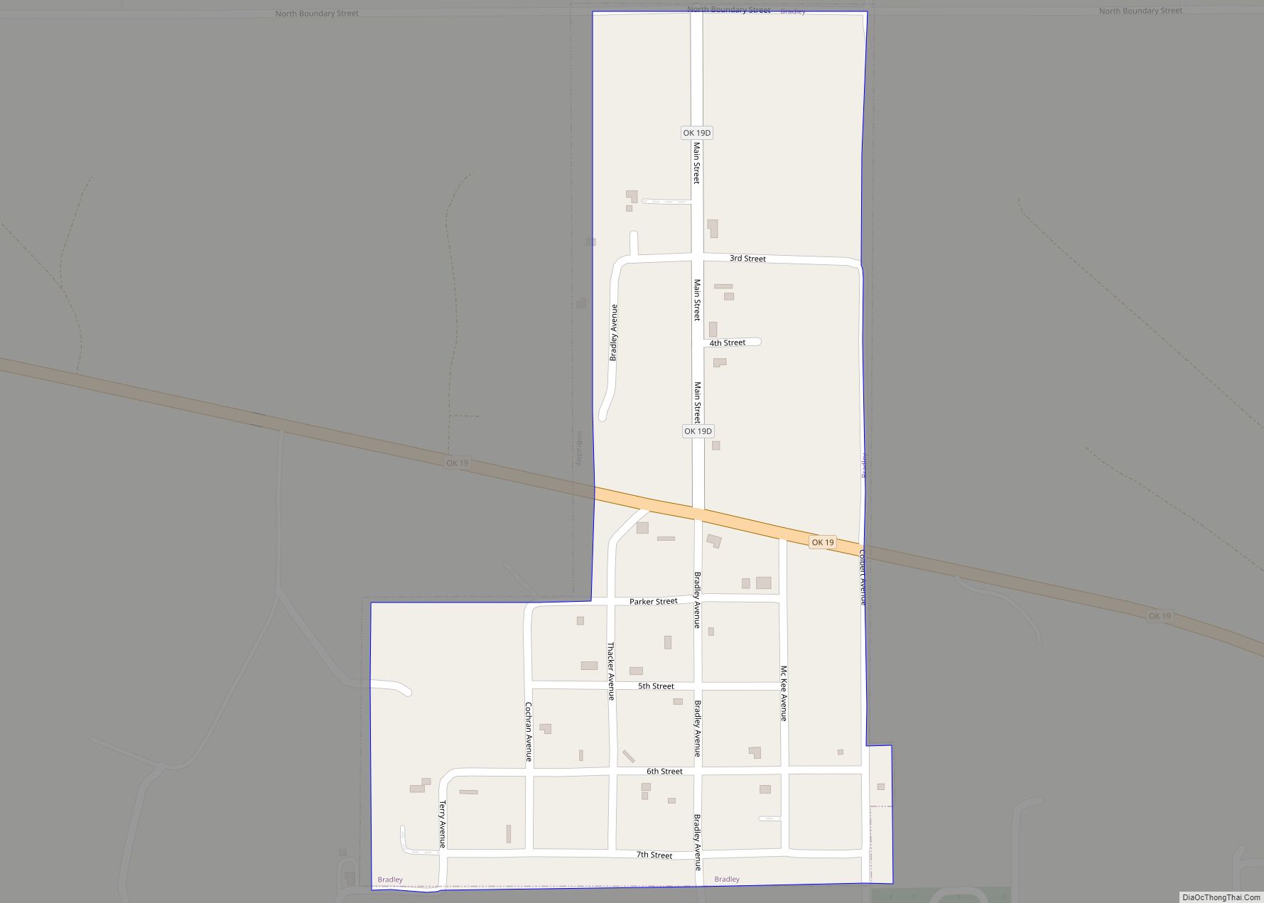
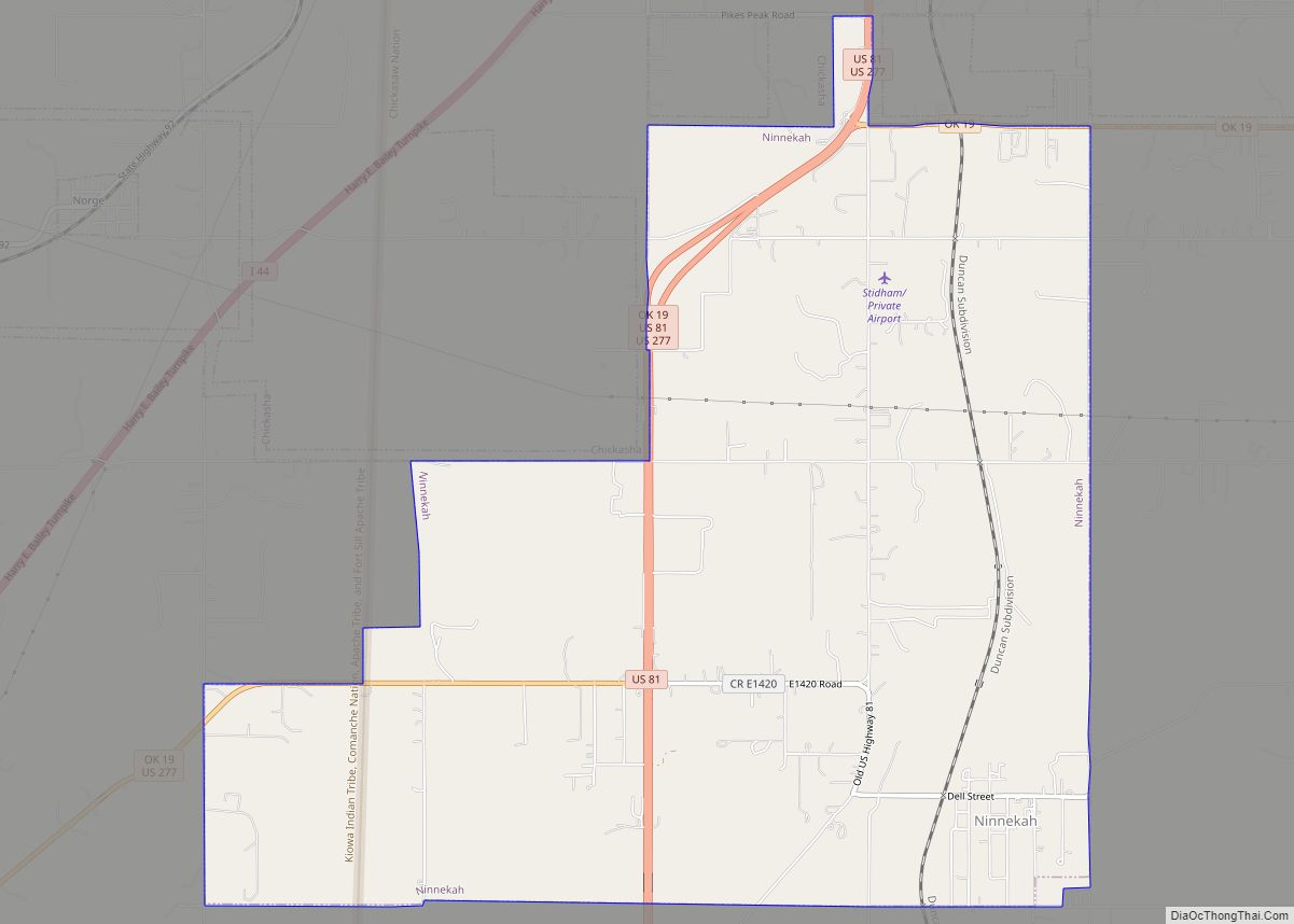
Online Interactive Map
Click on ![]() to view map in "full screen" mode.
to view map in "full screen" mode.
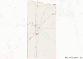
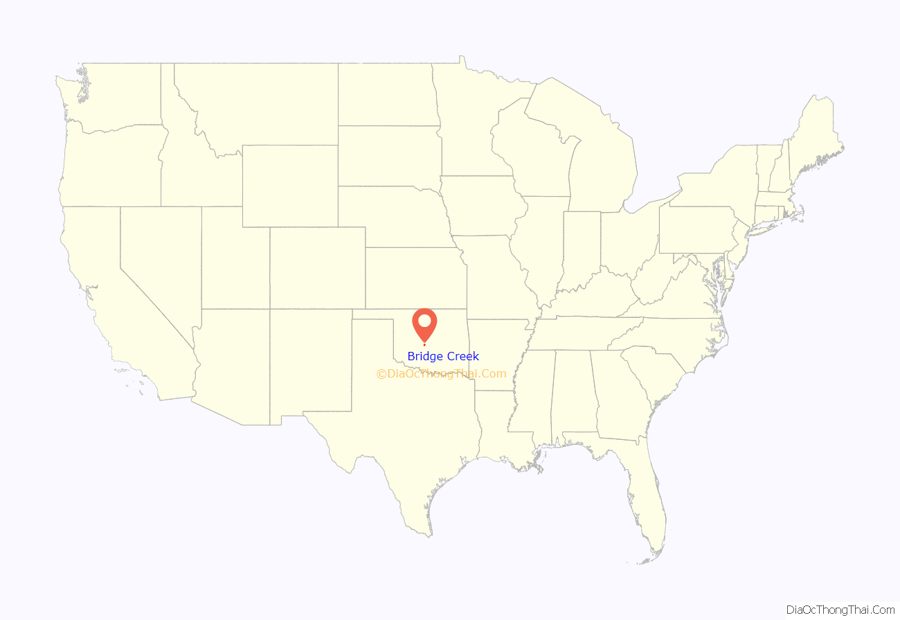
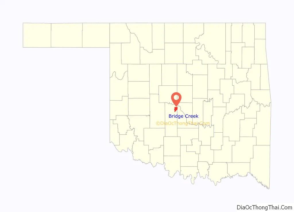
Bridge Creek location map. Where is Bridge Creek town?
History
Bridge Creek was incorporated as a town in 2000. The town proper and the unincorporated areas that its limits enclose are part of a rapidly growing area of northern McClain and Grady counties known as the “Tri-City Area” with Newcastle, Tuttle and Blanchard.
Bridge Creek was one of several communities hardest hit by an F5 tornado in the deadly May 3, 1999, tornado outbreak. At least 12 people died in the Bridge Creek area. Doppler radar measured wind speeds of 301 ± 20 mph (484 ± 32 km/h) in this tornado when it was near Bridge Creek. This is the highest wind speed ever recorded on Earth.
The town was hit again by an EF3 tornado on May 6, 2015, 16 years and 3 days after the 1999 tornado. Homes were destroyed or heavily damaged.
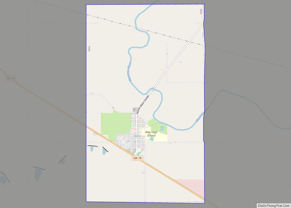
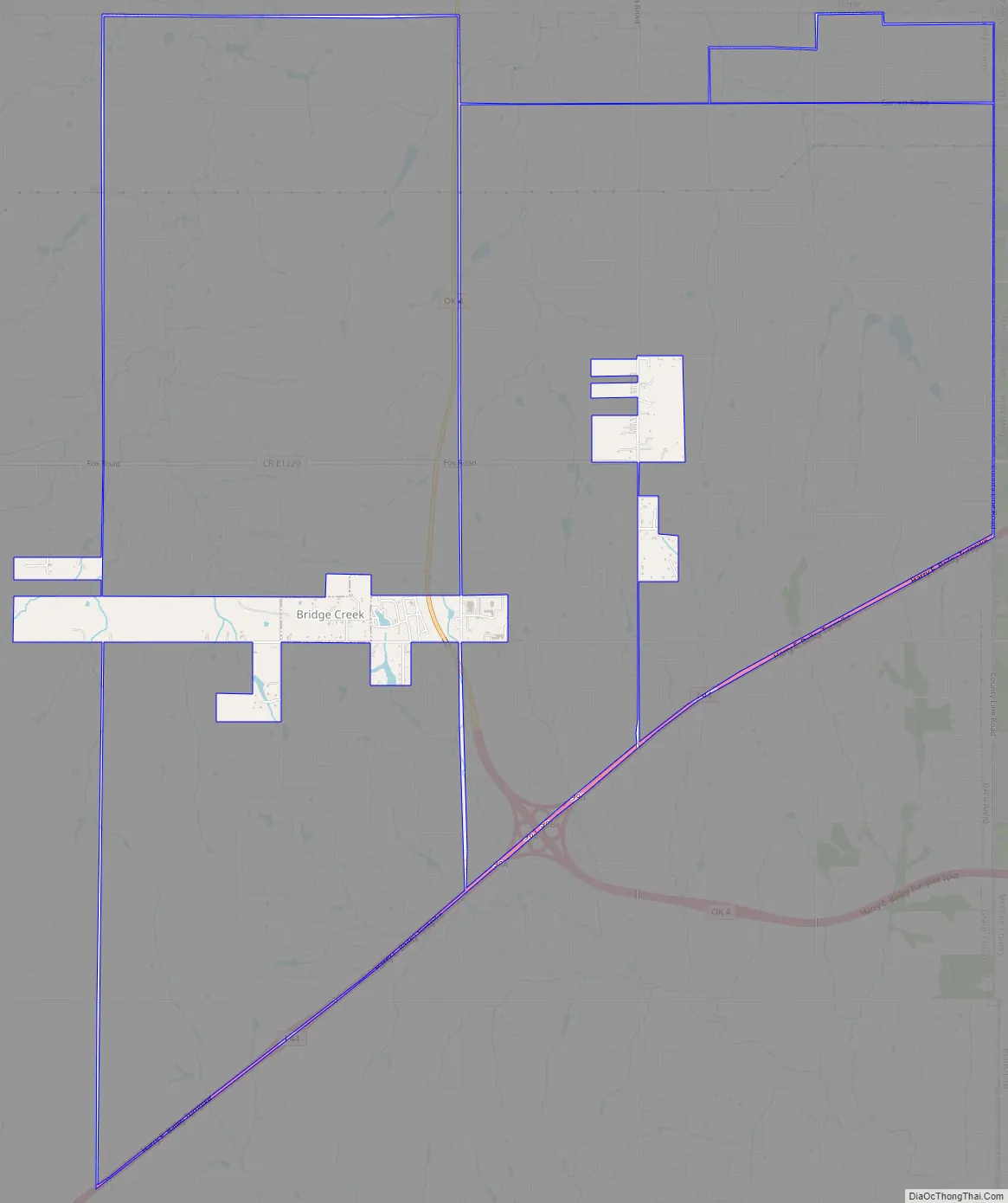
Bridge Creek Road Map
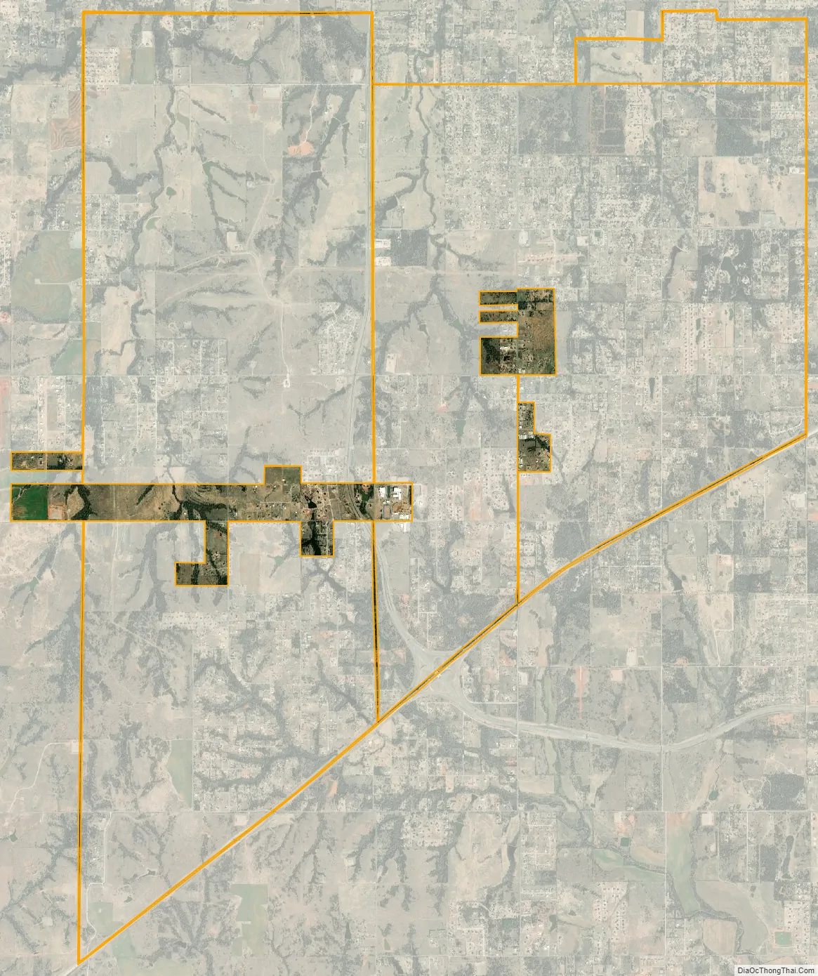
Bridge Creek city Satellite Map
Geography
Bridge Creek is located in northeastern Grady County at 35°14′50″N 97°43′24″W / 35.24722°N 97.72333°W / 35.24722; -97.72333 (35.247350, −97.723460). It is bordered to the north, west, and southwest by the city of Tuttle, to the south by the city of Blanchard, and to the east by the city of Newcastle in McClain County.
Interstate 44, the H. E. Bailey Turnpike, forms the southeastern border of the town, leading northeast 25 miles (40 km) to downtown Oklahoma City and southwest 17 miles (27 km) to Chickasha, the Grady County seat. Oklahoma State Highway 4, the H. E. Bailey Turnpike Norman Spur, leads north through the center of Bridge Creek and continues north 11 miles (18 km) to Mustang.
According to the U.S. Census Bureau, the town of Bridge Creek has a total area of 1.6 square miles (4.2 km), all land.
See also
Map of Oklahoma State and its subdivision:- Adair
- Alfalfa
- Atoka
- Beaver
- Beckham
- Blaine
- Bryan
- Caddo
- Canadian
- Carter
- Cherokee
- Choctaw
- Cimarron
- Cleveland
- Coal
- Comanche
- Cotton
- Craig
- Creek
- Custer
- Delaware
- Dewey
- Ellis
- Garfield
- Garvin
- Grady
- Grant
- Greer
- Harmon
- Harper
- Haskell
- Hughes
- Jackson
- Jefferson
- Johnston
- Kay
- Kingfisher
- Kiowa
- Latimer
- Le Flore
- Lincoln
- Logan
- Love
- Major
- Marshall
- Mayes
- McClain
- McCurtain
- McIntosh
- Murray
- Muskogee
- Noble
- Nowata
- Okfuskee
- Oklahoma
- Okmulgee
- Osage
- Ottawa
- Pawnee
- Payne
- Pittsburg
- Pontotoc
- Pottawatomie
- Pushmataha
- Roger Mills
- Rogers
- Seminole
- Sequoyah
- Stephens
- Texas
- Tillman
- Tulsa
- Wagoner
- Washington
- Washita
- Woods
- Woodward
- Alabama
- Alaska
- Arizona
- Arkansas
- California
- Colorado
- Connecticut
- Delaware
- District of Columbia
- Florida
- Georgia
- Hawaii
- Idaho
- Illinois
- Indiana
- Iowa
- Kansas
- Kentucky
- Louisiana
- Maine
- Maryland
- Massachusetts
- Michigan
- Minnesota
- Mississippi
- Missouri
- Montana
- Nebraska
- Nevada
- New Hampshire
- New Jersey
- New Mexico
- New York
- North Carolina
- North Dakota
- Ohio
- Oklahoma
- Oregon
- Pennsylvania
- Rhode Island
- South Carolina
- South Dakota
- Tennessee
- Texas
- Utah
- Vermont
- Virginia
- Washington
- West Virginia
- Wisconsin
- Wyoming