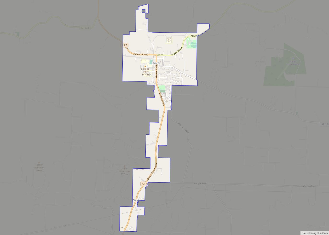
Map of Donaldson town, Arkansas
Donaldson is a town in Hot Spring County, Arkansas, United States. The population was 301 at the 2010 census. Donaldson town overview: Name: Donaldson town LSAD Code: 43 LSAD Description: town (suffix) State: Arkansas County: Hot Spring County Elevation: 230 ft (70 m) Total Area: 0.59 sq mi (1.53 km²) Land Area: 0.59 sq mi (1.53 km²) Water Area: 0.00 sq mi (0.00 km²) Total Population: ... Read more
Map of Donaldson town, Arkansas
Map of Dierks city
Dierks is a city in Howard County, Arkansas, United States. The population was 916 as of the 2020 census, down from 1,133 in 2010. Dierks city overview: Name: Dierks city LSAD Code: 25 LSAD Description: city (suffix) State: Arkansas County: Howard County Elevation: 443 ft (135 m) Total Area: 1.92 sq mi (4.97 km²) Land Area: 1.92 sq mi (4.97 km²) Water Area: ... Read more
Map of Dierks city
Map of Dyess town
Dyess is a town in Mississippi County, Arkansas, United States. The town was founded as Dyess Colony in 1934 as part of the Roosevelt administration’s agricultural relief and rehabilitation program and was the largest agrarian community established by the federal government during the Great Depression. It was the boyhood home of country singer Johnny Cash. ... Read more
Map of Dyess town
Map of Dyer city, Arkansas
Dyer is a city in Crawford County, Arkansas, United States. It is part of the Fort Smith, Arkansas–Oklahoma Metropolitan Statistical Area. The population was 876 at the 2010 census. Dyer city overview: Name: Dyer city LSAD Code: 25 LSAD Description: city (suffix) State: Arkansas County: Crawford County Elevation: 430 ft (130 m) Total Area: 2.94 sq mi (7.62 km²) Land ... Read more
Map of Dyer city, Arkansas
Map of Dumas city, Arkansas
Dumas is a city in Desha County, Arkansas, United States. The population was 4,706 at the 2010 census. Dumas city overview: Name: Dumas city LSAD Code: 25 LSAD Description: city (suffix) State: Arkansas County: Desha County Elevation: 164 ft (50 m) Total Area: 2.91 sq mi (7.53 km²) Land Area: 2.91 sq mi (7.53 km²) Water Area: 0.00 sq mi (0.00 km²) Total Population: 4,001 Population ... Read more
Map of Dumas city, Arkansas
Map of East End CDP
East End is a census-designated place (CDP) in Saline County, Arkansas, United States. The population was 6,998 at the 2010 census. It is part of the Little Rock–North Little Rock–Conway Metropolitan Statistical Area. East End CDP overview: Name: East End CDP LSAD Code: 57 LSAD Description: CDP (suffix) State: Arkansas County: Saline County Elevation: 351 ft ... Read more
Map of East End CDP
Map of East Camden town
East Camden is a city in Ouachita County, Arkansas, United States. The population was 931 at the 2010 census. It is part of the Camden Micropolitan Statistical Area. East Camden was originally called Billkitts Rental Housing and began as a planned community created to support the nearby Shumaker Naval Ammunition Depot. As he did for ... Read more
Map of East Camden town
Map of Earle city
Earle is a city in Crittenden County, Arkansas, United States. Per the 2020 census, the population was 1,831. Earle city overview: Name: Earle city LSAD Code: 25 LSAD Description: city (suffix) State: Arkansas County: Crittenden County Elevation: 207 ft (63 m) Total Area: 3.25 sq mi (8.41 km²) Land Area: 3.25 sq mi (8.41 km²) Water Area: 0.00 sq mi (0.00 km²) Total Population: 1,831 Population ... Read more
Map of Earle city
Map of El Dorado city, Arkansas
El Dorado, founded by Matthew Rainey, is a city in, and the county seat of, Union County, on the southern border of Arkansas, United States. According to the 2010 census, the population of the city is 18,884. El Dorado is headquarters of the Arkansas Oil and Gas Commission as well as Murphy USA, Deltic Timber ... Read more
Map of El Dorado city, Arkansas
Map of Egypt town, Arkansas
Egypt is a town in Craighead County, Arkansas, United States. The population was 112 at the 2010 census. It is included in the Jonesboro, Arkansas Metropolitan Statistical Area. Egypt town overview: Name: Egypt town LSAD Code: 43 LSAD Description: town (suffix) State: Arkansas County: Craighead County Elevation: 249 ft (76 m) Total Area: 0.34 sq mi (0.87 km²) Land Area: ... Read more
Map of Egypt town, Arkansas
Map of Edmondson town
Edmondson is a town in Crittenden County, Arkansas, United States. The population was 427 at the 2010 census. Edmondson town overview: Name: Edmondson town LSAD Code: 43 LSAD Description: town (suffix) State: Arkansas County: Crittenden County Elevation: 207 ft (63 m) Total Area: 2.99 sq mi (7.75 km²) Land Area: 2.99 sq mi (7.75 km²) Water Area: 0.00 sq mi (0.00 km²) Total Population: 243 Population ... Read more
Map of Edmondson town
Map of Elkins city, Arkansas
Elkins is a city in Washington County, Arkansas, United States. The community is located in the Boston Mountains, deep in the Ozark Mountains. A combination of the former unincorporated communities of Harris and Hood, Elkins was established in 1964. Located immediately east of Fayetteville in the Northwest Arkansas metropolitan statistical area, Elkins has been experiencing ... Read more
Map of Elkins city, Arkansas