El Dorado, founded by Matthew Rainey, is a city in, and the county seat of, Union County, on the southern border of Arkansas, United States. According to the 2010 census, the population of the city is 18,884.
El Dorado is headquarters of the Arkansas Oil and Gas Commission as well as Murphy USA, Deltic Timber Corporation and a DelekUS oil refinery. The city has a downtown arts district, the Murphy Arts District (MAD); a community college, South Arkansas Community College (SouthArk); and a multi-cultural arts center, South Arkansas Arts Center (SAAC). El Dorado is the population, cultural and business center of south central Arkansas.
The city was the heart of the 1920s oil boom in the area. During World War II, it became a center of the chemical industry, which still plays a part in the economy, as do oil and timber.
| Name: | El Dorado city |
|---|---|
| LSAD Code: | 25 |
| LSAD Description: | city (suffix) |
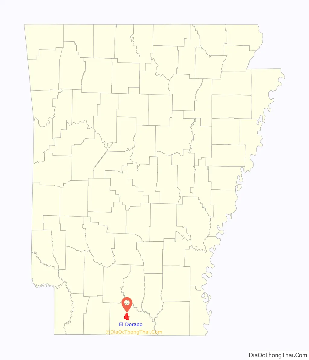
| State: | Arkansas |
| County: | Union County |
| Founded: | 1843 |
| Land Area: | 16.20 sq mi (41.96 km²) |
| Water Area: | 0.01 sq mi (0.02 km²) |
| Population Density: | 1,095.98/sq mi (423.16/km²) |
| ZIP code: | 71730, 71731, 71768 |
| Area code: | 870 |
| FIPS code: | 0521070 |
| GNISfeature ID: | 0076861 |
| Website: | goeldorado.com |
Online Interactive Map
Click on ![]() to view map in "full screen" mode.
to view map in "full screen" mode.
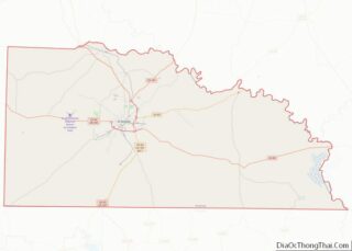
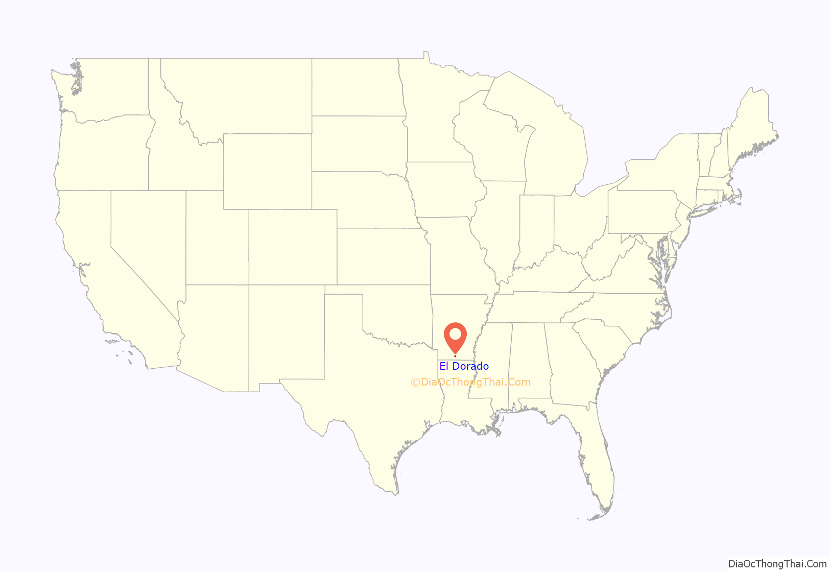
El Dorado location map. Where is El Dorado city?
History
Timeline
- 1829, the territorial legislature took sections of Hempstead and Clark counties to establish Union County.
- 1843, Matthew Rainey founded and named El Dorado. El Dorado became the Union County seat that same year and the first Presbyterian church was organized.
- 1845, First Baptist Church was organized.
- 1870, El Dorado Baptist Church was founded and El Dorado was incorporated.
- 1883, Albert Williams was lynched in El Dorado
- 1891, the first passenger train arrives in El Dorado from Camden.
- 1902, the Tucker-Parnell Feud erupts between Guy Tucker (city marshal), and a local businessman (Tom Parnell).
- 1908, Washington High School opens.
- 1919, Frank Livingston, a black World War I veteran accused of murder with scant evidence, was burned alive by a mob near El Dorado.
- 1921, the Busey No. 1 well was completed. The start of the oil boom. El Dorado is sometimes referred to as “Arkansas’ Original Boomtown.”
- 1922, El Dorado Oil Refinery was commissioned and the B’nai B’rith lodge was founded.
- 1927, the Lion Oil-Exchange Building was completed.
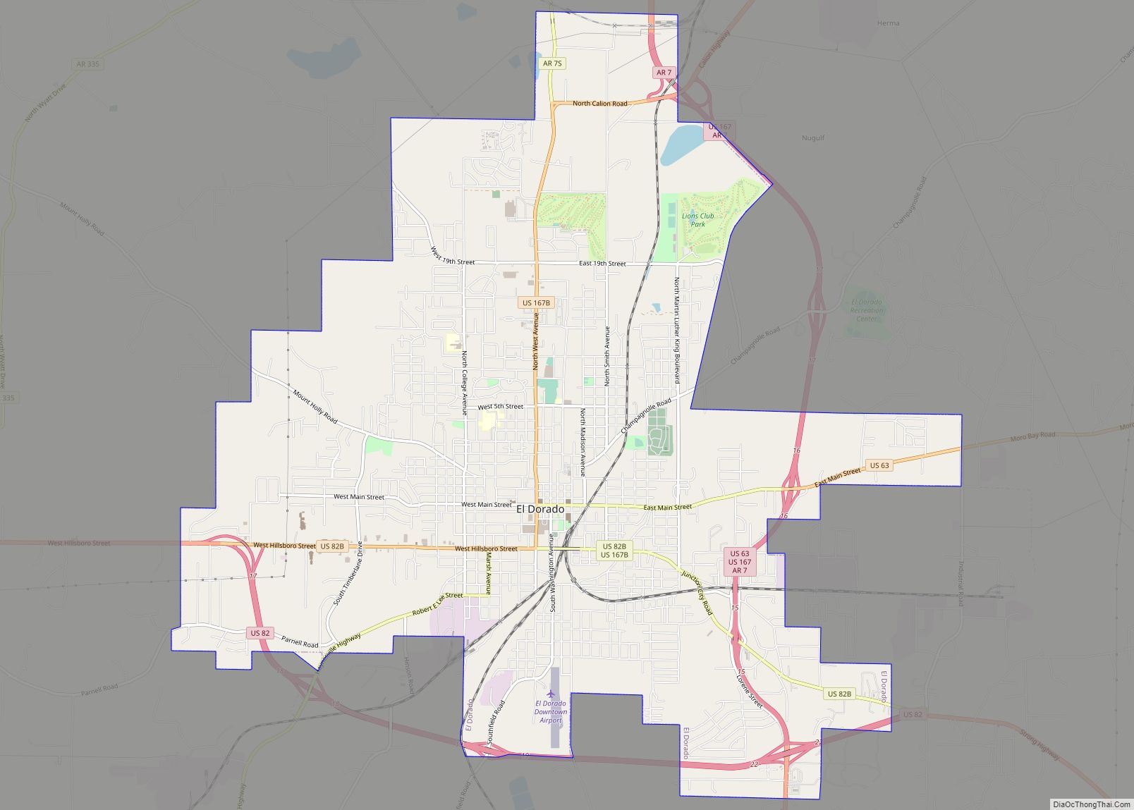
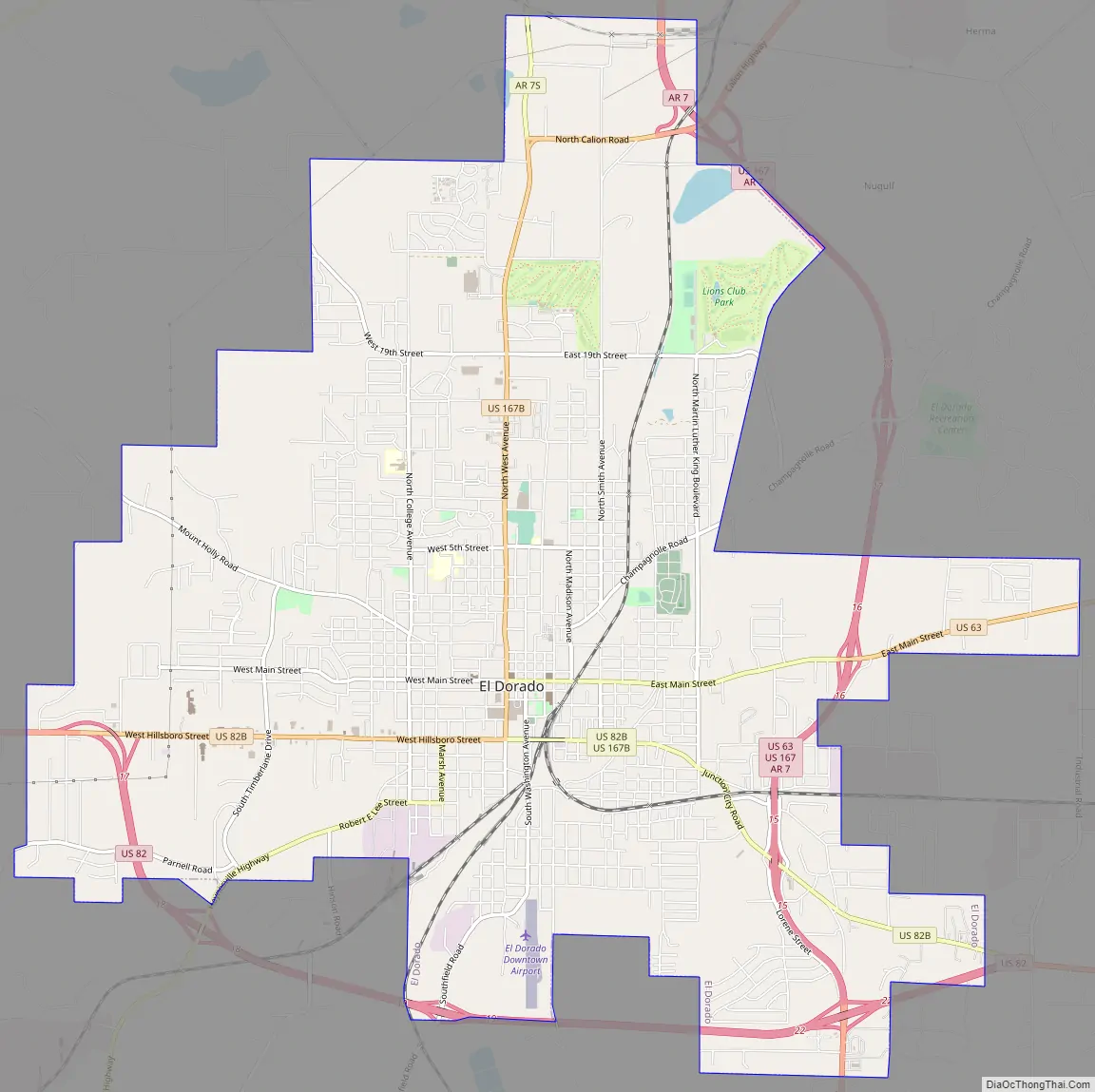
El Dorado Road Map
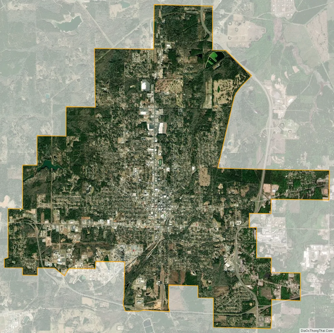
El Dorado city Satellite Map
Geography
According to the United States Census Bureau, the city has a total area of 16.3 square miles (42 km), of which 16.3 square miles (42 km) is land and 0.1 square miles (0.26 km) (0.31%) is water.
Topography
El Dorado is located in the West Gulf Coastal Plain: In Arkansas, the West Gulf Coastal Plain covers the southeastern and south central portions of the state along the border of Louisiana. This Lowland area of Arkansas is characterized by pine forests and farmlands. Natural resources include natural gas, petroleum deposits and beds of bromine flats. The lowest point in the state is found on the Ouachita River in the West Gulf Coastal Plain of Arkansas.
Climate
El Dorado is located in the humid subtropical zone (Köppen climate classification: Cfa).
See also
Map of Arkansas State and its subdivision:- Arkansas
- Ashley
- Baxter
- Benton
- Boone
- Bradley
- Calhoun
- Carroll
- Chicot
- Clark
- Clay
- Cleburne
- Cleveland
- Columbia
- Conway
- Craighead
- Crawford
- Crittenden
- Cross
- Dallas
- Desha
- Drew
- Faulkner
- Franklin
- Fulton
- Garland
- Grant
- Greene
- Hempstead
- Hot Spring
- Howard
- Independence
- Izard
- Jackson
- Jefferson
- Johnson
- Lafayette
- Lawrence
- Lee
- Lincoln
- Little River
- Logan
- Lonoke
- Madison
- Marion
- Miller
- Mississippi
- Monroe
- Montgomery
- Nevada
- Newton
- Ouachita
- Perry
- Phillips
- Pike
- Poinsett
- Polk
- Pope
- Prairie
- Pulaski
- Randolph
- Saint Francis
- Saline
- Scott
- Searcy
- Sebastian
- Sevier
- Sharp
- Stone
- Union
- Van Buren
- Washington
- White
- Woodruff
- Yell
- Alabama
- Alaska
- Arizona
- Arkansas
- California
- Colorado
- Connecticut
- Delaware
- District of Columbia
- Florida
- Georgia
- Hawaii
- Idaho
- Illinois
- Indiana
- Iowa
- Kansas
- Kentucky
- Louisiana
- Maine
- Maryland
- Massachusetts
- Michigan
- Minnesota
- Mississippi
- Missouri
- Montana
- Nebraska
- Nevada
- New Hampshire
- New Jersey
- New Mexico
- New York
- North Carolina
- North Dakota
- Ohio
- Oklahoma
- Oregon
- Pennsylvania
- Rhode Island
- South Carolina
- South Dakota
- Tennessee
- Texas
- Utah
- Vermont
- Virginia
- Washington
- West Virginia
- Wisconsin
- Wyoming