East Camden is a city in Ouachita County, Arkansas, United States. The population was 931 at the 2010 census. It is part of the Camden Micropolitan Statistical Area. East Camden was originally called Billkitts Rental Housing and began as a planned community created to support the nearby Shumaker Naval Ammunition Depot.
As he did for the rest of the facility, the depot’s Chief Maintenance Engineer, A.T. Smith, designed the general layout of the town and named its streets. U.S. Senator John Little McClellan later arranged for Smith, who boasted the most intimate knowledge of the depot, to travel to Washington D.C. and negotiate “over White House tea” with Lyndon B. Johnson to transfer ownership of the sprawling NAD complex to Johnson’s Brown and Root.
Brown and Root’s Highland Resources would later transform the depot into an industrial park catering primarily to defense contractors who could be enticed by the local eight-mile (13 km) long rocket range, the vast array of underground storage bunkers, highly specialized building infrastructure, low cost of labor and excellent railroad system. As part of the transfer agreement, the Brown Foundation also donated 70 acres (280,000 m) of land and six buildings to establish a two-year technical college now known as Southern Arkansas University Tech.
| Name: | East Camden town |
|---|---|
| LSAD Code: | 43 |
| LSAD Description: | town (suffix) |
| State: | Arkansas |
| County: | Ouachita County |
| Elevation: | 125 ft (38 m) |
| Total Area: | 0.76 sq mi (1.97 km²) |
| Land Area: | 0.76 sq mi (1.97 km²) |
| Water Area: | 0.00 sq mi (0.00 km²) |
| Total Population: | 798 |
| Population Density: | 1,048.62/sq mi (405.03/km²) |
| ZIP code: | 71701 |
| Area code: | 870 |
| FIPS code: | 0520440 |
| GNISfeature ID: | 0057693 |
Online Interactive Map
Click on ![]() to view map in "full screen" mode.
to view map in "full screen" mode.
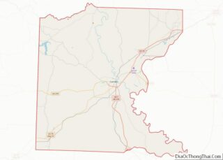
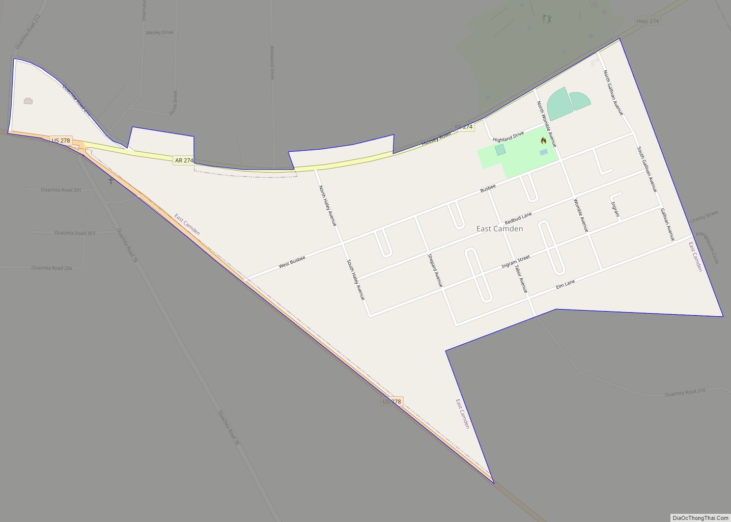
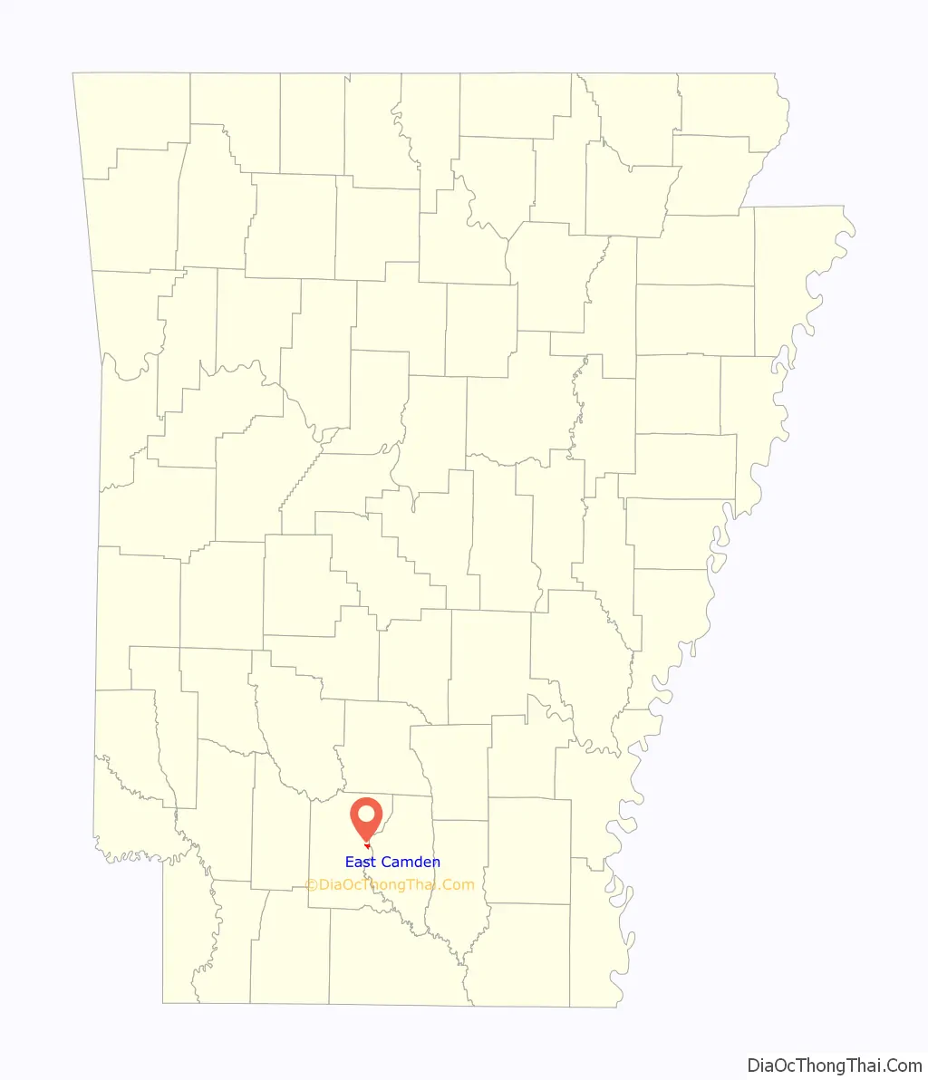
East Camden location map. Where is East Camden town?

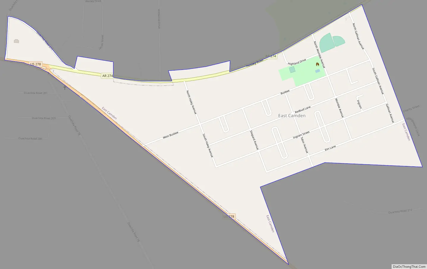
East Camden Road Map
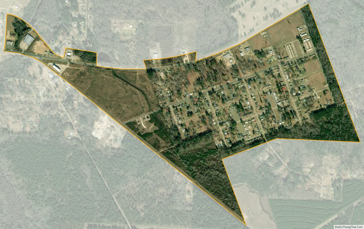
East Camden city Satellite Map
Geography
East Camden is located at 33°36′27″N 92°44′30″W / 33.60750°N 92.74167°W / 33.60750; -92.74167 (33.607429, -92.741740).
According to the United States Census Bureau, the town has a total area of 1.5 km (0.6 mi), all land.
See also
Map of Arkansas State and its subdivision:- Arkansas
- Ashley
- Baxter
- Benton
- Boone
- Bradley
- Calhoun
- Carroll
- Chicot
- Clark
- Clay
- Cleburne
- Cleveland
- Columbia
- Conway
- Craighead
- Crawford
- Crittenden
- Cross
- Dallas
- Desha
- Drew
- Faulkner
- Franklin
- Fulton
- Garland
- Grant
- Greene
- Hempstead
- Hot Spring
- Howard
- Independence
- Izard
- Jackson
- Jefferson
- Johnson
- Lafayette
- Lawrence
- Lee
- Lincoln
- Little River
- Logan
- Lonoke
- Madison
- Marion
- Miller
- Mississippi
- Monroe
- Montgomery
- Nevada
- Newton
- Ouachita
- Perry
- Phillips
- Pike
- Poinsett
- Polk
- Pope
- Prairie
- Pulaski
- Randolph
- Saint Francis
- Saline
- Scott
- Searcy
- Sebastian
- Sevier
- Sharp
- Stone
- Union
- Van Buren
- Washington
- White
- Woodruff
- Yell
- Alabama
- Alaska
- Arizona
- Arkansas
- California
- Colorado
- Connecticut
- Delaware
- District of Columbia
- Florida
- Georgia
- Hawaii
- Idaho
- Illinois
- Indiana
- Iowa
- Kansas
- Kentucky
- Louisiana
- Maine
- Maryland
- Massachusetts
- Michigan
- Minnesota
- Mississippi
- Missouri
- Montana
- Nebraska
- Nevada
- New Hampshire
- New Jersey
- New Mexico
- New York
- North Carolina
- North Dakota
- Ohio
- Oklahoma
- Oregon
- Pennsylvania
- Rhode Island
- South Carolina
- South Dakota
- Tennessee
- Texas
- Utah
- Vermont
- Virginia
- Washington
- West Virginia
- Wisconsin
- Wyoming