Map of Colfax city, North Dakota
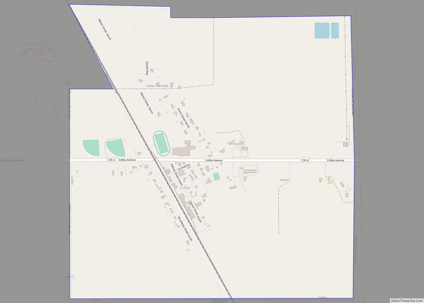
Colfax is a city in Richland County, North Dakota, United States. The population was 172 at the 2020 census. Colfax was founded in 1881. It is part of the Wahpeton, ND–MN Micropolitan Statistical Area. In the mid-1960s it billed itself as the “smallest town in the U.S. with a public swimming pool”. Colfax city overview: ... Read more
Map of Colfax city, North Dakota
Map of Coleharbor city
Coleharbor is a city in McLean County, North Dakota, United States. The population was 59 at the 2020 census. Coleharbor was founded in 1904. Coleharbor city overview: Name: Coleharbor city LSAD Code: 25 LSAD Description: city (suffix) State: North Dakota County: McLean County Founded: 1904 Elevation: 1,906 ft (581 m) Total Area: 0.18 sq mi (0.47 km²) Land Area: 0.18 sq mi ... Read more
Map of Coleharbor city
Map of Dahlen CDP
Dahlen (Urban East Norwegian: [ˈdɑːɳ]) is a census-designated place and an unincorporated community in Nelson County, North Dakota, United States. It was designated as part of the United States Census Bureau’s Participant Statistical Areas Program on March 31, 2010. It was not counted separately during the 2000 census, but was included in the 2010 census, where ... Read more
Map of Dahlen CDP
Map of Crystal city, North Dakota
Crystal is a city in Pembina County, North Dakota, United States. The population was 116 at the 2020 census. Crystal was founded in 1879. Crystal city overview: Name: Crystal city LSAD Code: 25 LSAD Description: city (suffix) State: North Dakota County: Pembina County Founded: 1879 Elevation: 909 ft (277 m) Total Area: 0.69 sq mi (1.78 km²) Land Area: 0.69 sq mi ... Read more
Map of Crystal city, North Dakota
Map of Crosby city, North Dakota
Crosby is a city and the county seat of Divide County, North Dakota, United States. The population was 1,065 at the 2020 census. Crosby city overview: Name: Crosby city LSAD Code: 25 LSAD Description: city (suffix) State: North Dakota County: Divide County Founded: 1904 Elevation: 1,962 ft (598 m) Total Area: 1.41 sq mi (3.65 km²) Land Area: 1.41 sq mi (3.65 km²) ... Read more
Map of Crosby city, North Dakota
Map of Crary city
Crary is a city in Ramsey County, North Dakota, United States. The population was 113 at the 2020 census. Crary was founded in 1884 and is named after William Crary, who owned much of the land encompassing the present day community. Crary city overview: Name: Crary city LSAD Code: 25 LSAD Description: city (suffix) State: ... Read more
Map of Crary city
Map of Courtenay city
Courtenay is a city in Stutsman County, North Dakota, United States. The population was 36 at the 2020 census. Courtenay was founded in 1893. Courtenay city overview: Name: Courtenay city LSAD Code: 25 LSAD Description: city (suffix) State: North Dakota County: Stutsman County Elevation: 1,529 ft (466 m) Total Area: 0.42 sq mi (1.08 km²) Land Area: 0.42 sq mi (1.08 km²) Water ... Read more
Map of Courtenay city
Map of Cooperstown city, North Dakota
Cooperstown is a city in Griggs County, North Dakota, United States. It is the county seat of Griggs County. The population was 983 at the 2020 census. Cooperstown was founded in 1882. Cooperstown city overview: Name: Cooperstown city LSAD Code: 25 LSAD Description: city (suffix) State: North Dakota County: Griggs County Founded: 1882 Elevation: 1,434 ft ... Read more
Map of Cooperstown city, North Dakota
Map of Conway city, North Dakota
Conway is a city in Walsh County, North Dakota, United States. The population was 15 at the 2020 census. Conway was founded in 1885. Conway city overview: Name: Conway city LSAD Code: 25 LSAD Description: city (suffix) State: North Dakota County: Walsh County Founded: 1885 Elevation: 981 ft (299 m) Total Area: 0.21 sq mi (0.53 km²) Land Area: 0.21 sq mi ... Read more
Map of Conway city, North Dakota
Map of Columbus city, North Dakota
Columbus is a city in Burke County, North Dakota, United States. The population was 139 at the 2020 census. Columbus was founded in 1906. Both this town and nearby Larson were named for an early postmaster who served the area (Columbus Larson), making it possibly the only town so named that was not named for ... Read more
Map of Columbus city, North Dakota
Map of Devils Lake city
Devils Lake is a city in Ramsey County, North Dakota, United States. It is the county seat of Ramsey County. The population was 7,192 at the 2020 census. It is named after the nearby body of water called Devils Lake. The first house in Devils Lake was built in 1882. It was surveyed in 1883 ... Read more
Map of Devils Lake city
Map of Des Lacs city
Des Lacs is a city in Ward County, North Dakota, United States. The population was 185 at the 2020 census. It is part of the Minot Micropolitan Statistical Area. Des Lacs was founded in 1888, named after the Riviere de Lacs (now Des Lacs River), from the French for “River [of] The Lakes.” Des Lacs ... Read more
Map of Des Lacs city