Cooperstown is a city in Griggs County, North Dakota, United States. It is the county seat of Griggs County. The population was 983 at the 2020 census. Cooperstown was founded in 1882.
| Name: | Cooperstown city |
|---|---|
| LSAD Code: | 25 |
| LSAD Description: | city (suffix) |
| State: | North Dakota |
| County: | Griggs County |
| Founded: | 1882 |
| Elevation: | 1,434 ft (437 m) |
| Total Area: | 1.01 sq mi (2.60 km²) |
| Land Area: | 1.01 sq mi (2.60 km²) |
| Water Area: | 0.00 sq mi (0.00 km²) |
| Total Population: | 983 |
| Population Density: | 977.14/sq mi (377.45/km²) |
| ZIP code: | 58425 |
| Area code: | 701 |
| FIPS code: | 3815900 |
| GNISfeature ID: | 1028450 |
| Website: | cooperstownnd.com |
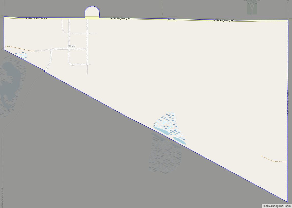
Online Interactive Map
Click on ![]() to view map in "full screen" mode.
to view map in "full screen" mode.
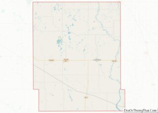
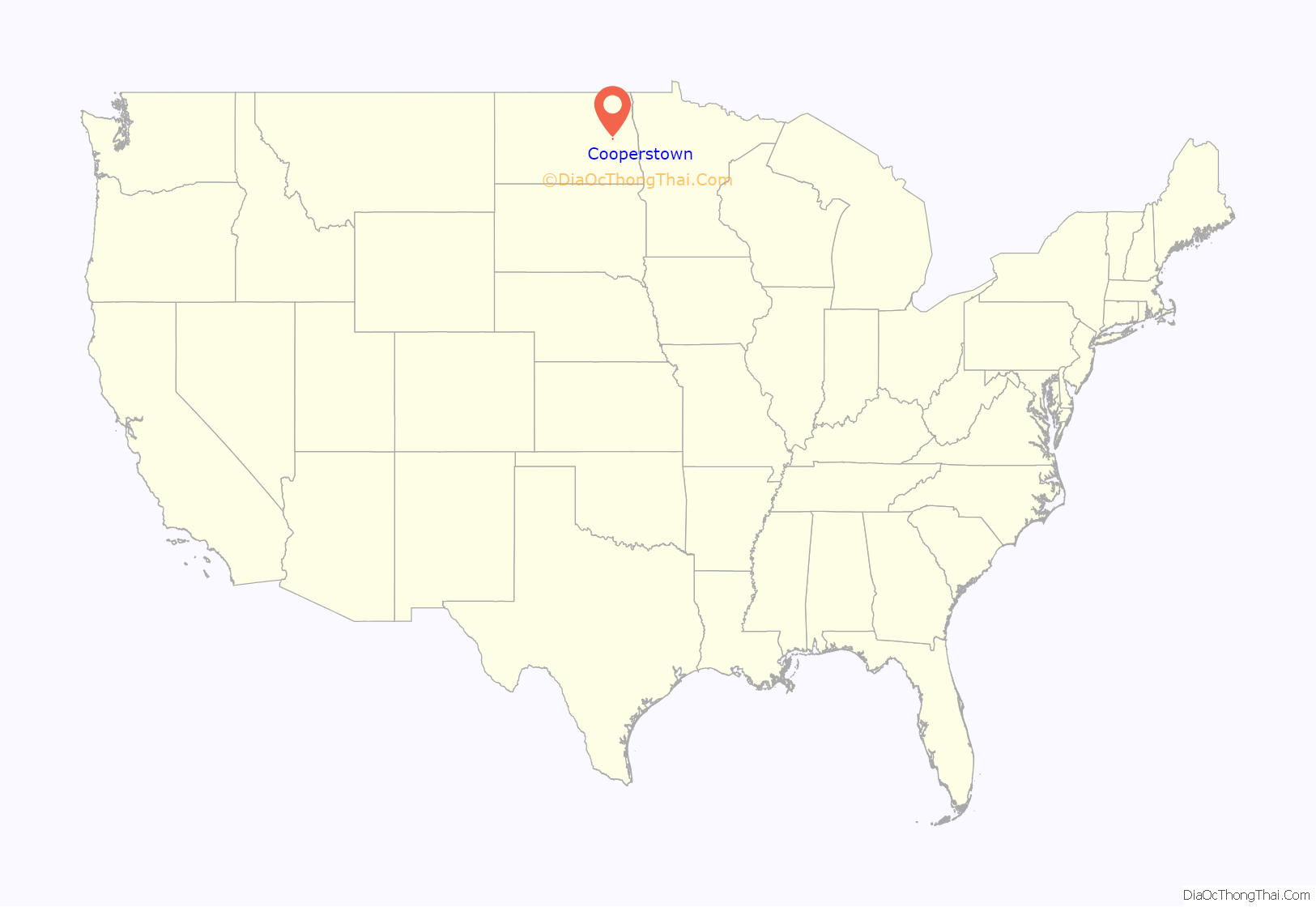
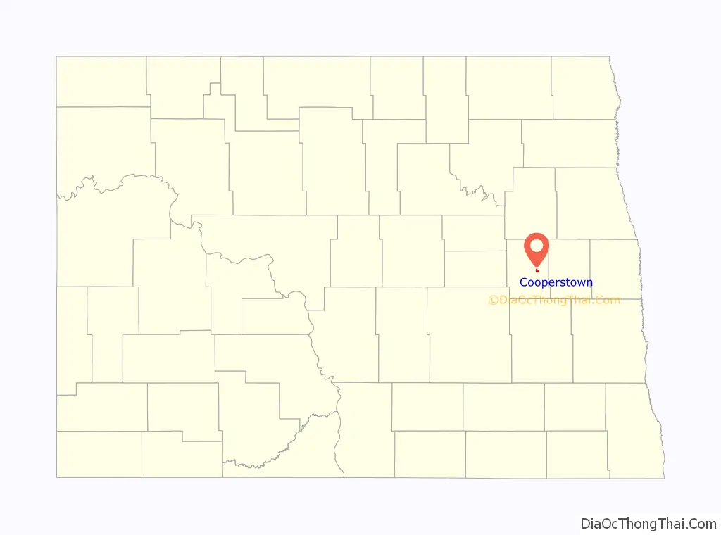
Cooperstown location map. Where is Cooperstown city?
History
The city is named for R. C. Cooper, a bonanza farmer who built the first wood-frame house in the area in 1880. Prior to Cooper’s arrival, most settlers or the era lived in sod houses, covered wagons, tents, or log cabins (especially near the Sheyenne River where trees were numerous). Cooperstown was laid out on October 26, 1882, soon before the railroad was extended to that point.
On November 7, 1882, the Griggs County Board of Commissioners voted to locate the county seat on one of Cooper’s properties in Cooperstown. Prior to this, the county records were housed in Hope, North Dakota. The residents of Hope were determined that the county seat be located in their town and refused to surrender the records to Cooperstown. The County Commissioners forcibly removed the records by their next meeting on November 18. Sometime the following month, an armed party from Hope overpowered three guards in the new county office and returned the records to their town. In early 1883, the North Dakota Territorial Legislature created Steele County with Hope serving as the new county’s seat. Hope returned Griggs County’s record to Cooperstown after an election on June 2, 1883. The Griggs County Courthouse was built in 1884.
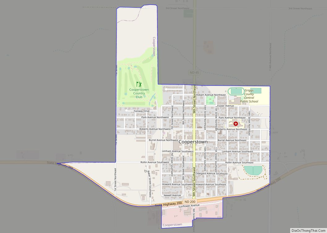
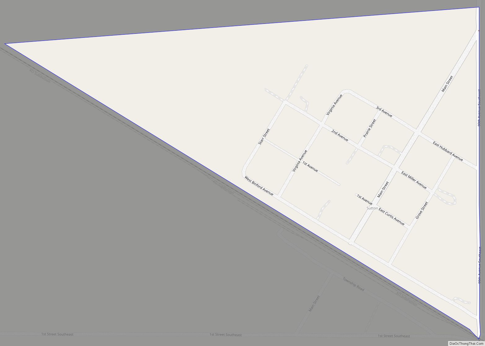
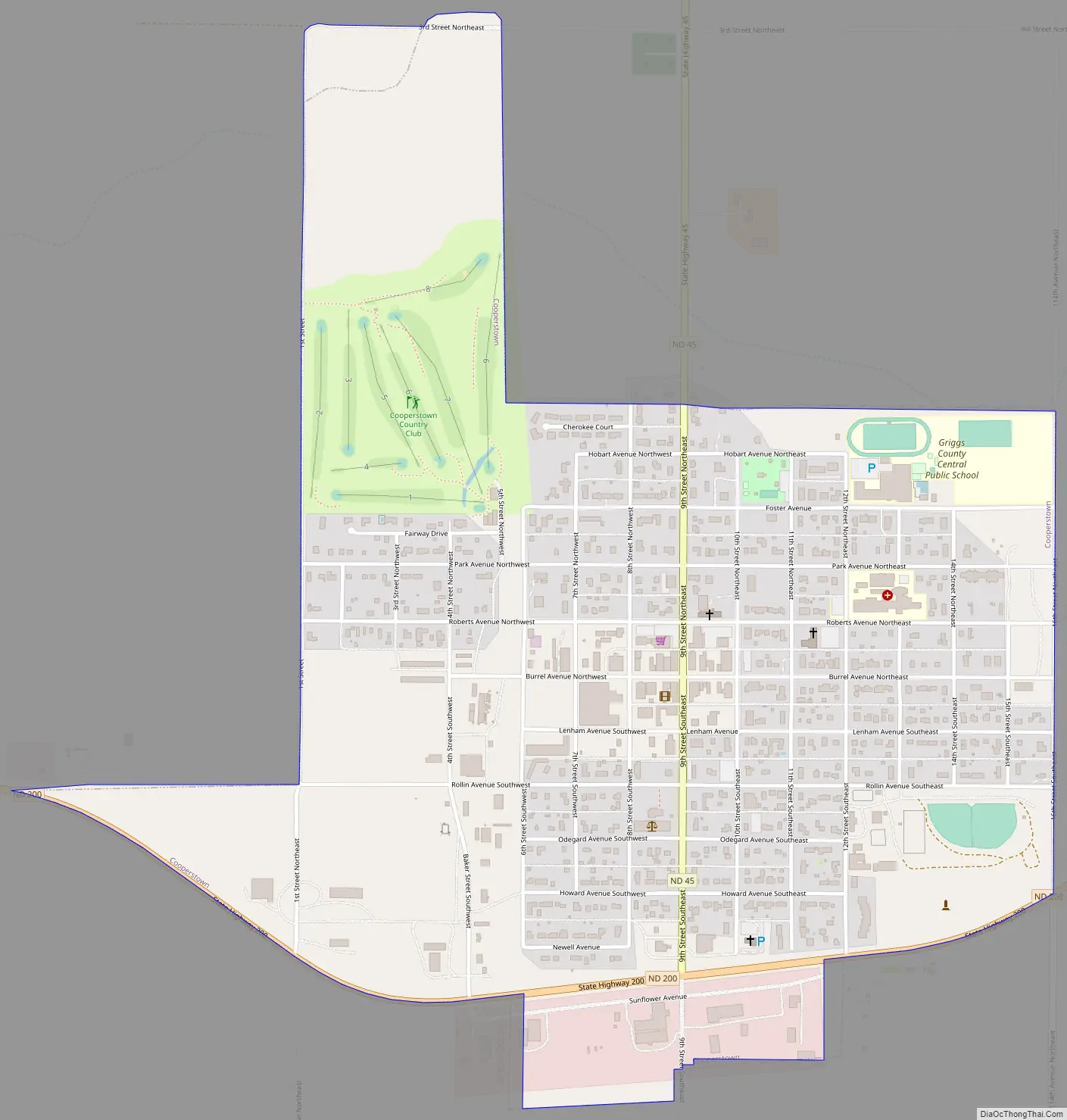
Cooperstown Road Map
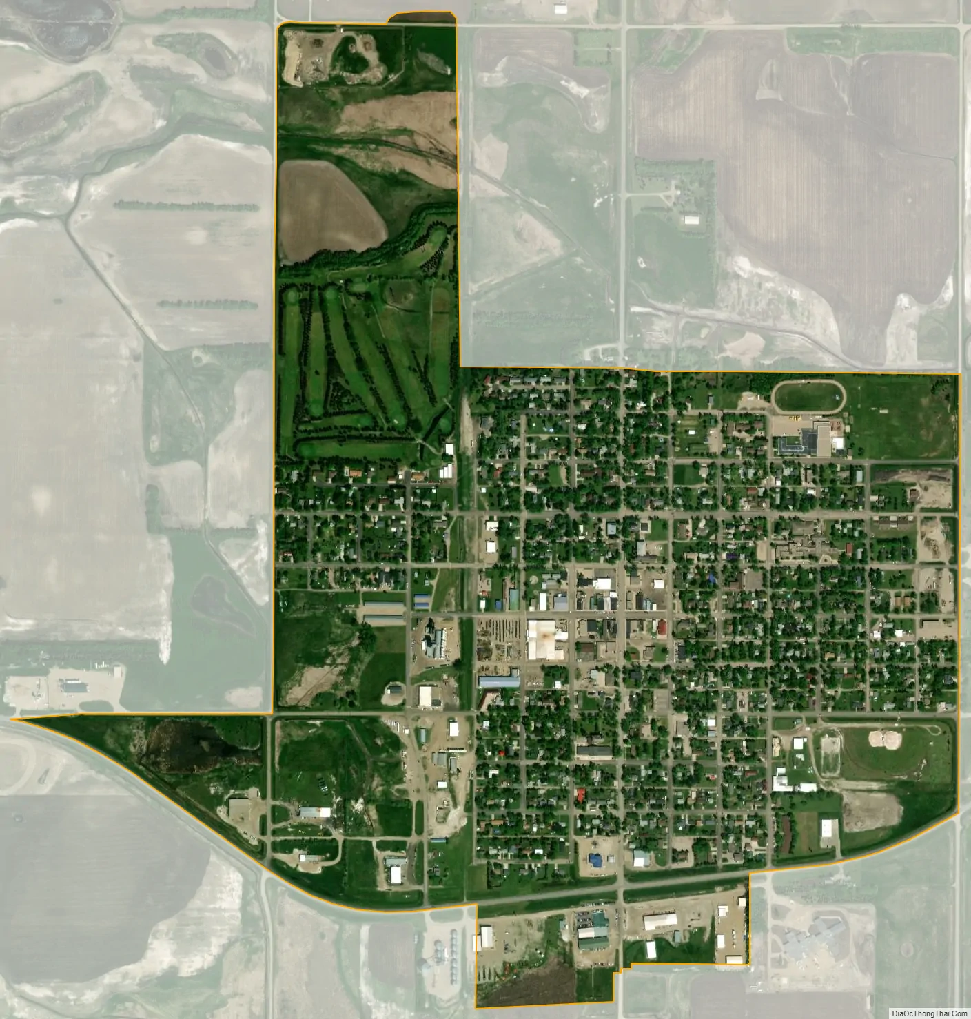
Cooperstown city Satellite Map
Geography
Cooperstown is located at 47°26.7′N 98°7.4′W / 47.4450°N 98.1233°W / 47.4450; -98.1233 (47.4452, -98.1229).
According to the United States Census Bureau, the city has a total area of 0.97 square miles (2.51 km), all land.
See also
Map of North Dakota State and its subdivision:- Adams
- Barnes
- Benson
- Billings
- Bottineau
- Bowman
- Burke
- Burleigh
- Cass
- Cavalier
- Dickey
- Divide
- Dunn
- Eddy
- Emmons
- Foster
- Golden Valley
- Grand Forks
- Grant
- Griggs
- Hettinger
- Kidder
- Lamoure
- Logan
- McHenry
- McIntosh
- McKenzie
- McLean
- Mercer
- Morton
- Mountrail
- Nelson
- Oliver
- Pembina
- Pierce
- Ramsey
- Ransom
- Renville
- Richland
- Rolette
- Sargent
- Sheridan
- Sioux
- Slope
- Stark
- Steele
- Stutsman
- Towner
- Traill
- Walsh
- Ward
- Wells
- Williams
- Alabama
- Alaska
- Arizona
- Arkansas
- California
- Colorado
- Connecticut
- Delaware
- District of Columbia
- Florida
- Georgia
- Hawaii
- Idaho
- Illinois
- Indiana
- Iowa
- Kansas
- Kentucky
- Louisiana
- Maine
- Maryland
- Massachusetts
- Michigan
- Minnesota
- Mississippi
- Missouri
- Montana
- Nebraska
- Nevada
- New Hampshire
- New Jersey
- New Mexico
- New York
- North Carolina
- North Dakota
- Ohio
- Oklahoma
- Oregon
- Pennsylvania
- Rhode Island
- South Carolina
- South Dakota
- Tennessee
- Texas
- Utah
- Vermont
- Virginia
- Washington
- West Virginia
- Wisconsin
- Wyoming