Map of Richardton city
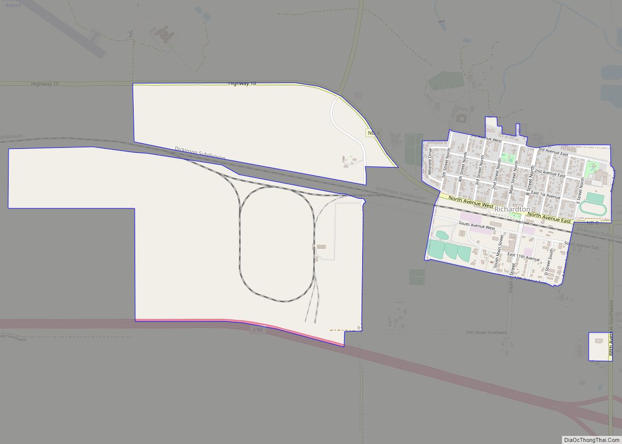
Richardton is a city in Stark County, North Dakota, United States. The population was 692 at the 2020 census. Richardton was founded in 1883. It is part of the Dickinson Micropolitan Statistical Area. Richardton is home to Assumption Abbey, a Benedictine abbey. A meteorite that landed near Richardton was named for it. Richardton city overview: ... Read more
Map of Richardton city
Map of Ruso city
Ruso is a hamlet in McLean County, North Dakota, United States. The population was one at the 2020 census, making Ruso the least populous incorporated place in North Dakota. Ruso city overview: Name: Ruso city LSAD Code: 25 LSAD Description: city (suffix) State: North Dakota County: McLean County Elevation: 2,087 ft (636 m) Total Area: 0.25 sq mi (0.64 km²) ... Read more
Map of Ruso city
Map of Rugby city
Rugby is a city in, and the county seat of, Pierce County, North Dakota, United States. The population was 2,509 at the 2020 census, making it the 19th largest city in North Dakota. Rugby was founded in 1886. Rugby is often billed as the geographic center of North America. Rugby city overview: Name: Rugby city ... Read more
Map of Rugby city
Map of Ross city, North Dakota
Ross is a city in Mountrail County, North Dakota, United States. The population was 95 at the 2020 census. Ross city overview: Name: Ross city LSAD Code: 25 LSAD Description: city (suffix) State: North Dakota County: Mountrail County Founded: 1902 Elevation: 2,303 ft (702 m) Total Area: 0.29 sq mi (0.75 km²) Land Area: 0.29 sq mi (0.75 km²) Water Area: 0.00 sq mi (0.00 km²) ... Read more
Map of Ross city, North Dakota
Map of Rolla city, North Dakota
Rolla (/ˈrɒlə/ ROL-ə) is a city in Rolette County, North Dakota, United States. It is the county seat of Rolette County. The population was 1,223 at the 2020 census. The city contains a small park and a small outdoor pool. Rolla city overview: Name: Rolla city LSAD Code: 25 LSAD Description: city (suffix) State: North ... Read more
Map of Rolla city, North Dakota
Map of Rolette city
Rolette is a city in Rolette County, North Dakota, United States. The population was 484 at the 2020 census. Rolette city overview: Name: Rolette city LSAD Code: 25 LSAD Description: city (suffix) State: North Dakota County: Rolette County Founded: 1905 Incorporated: 1930 Elevation: 1,627 ft (496 m) Total Area: 1.01 sq mi (2.61 km²) Land Area: 1.01 sq mi (2.61 km²) Water Area: ... Read more
Map of Rolette city
Map of Rogers city, North Dakota
Rogers is a city in Barnes County, North Dakota, United States. The population was 49 at the 2020 census. Rogers was founded in 1897. Rogers city overview: Name: Rogers city LSAD Code: 25 LSAD Description: city (suffix) State: North Dakota County: Barnes County Founded: 1897 Elevation: 1,427 ft (435 m) Total Area: 0.98 sq mi (2.55 km²) Land Area: 0.98 sq mi ... Read more
Map of Rogers city, North Dakota
Map of Rocklake city
Rocklake is a city in Towner County, North Dakota, United States. The population was 94 at the 2020 census. The city lies a few miles south of the Canada–United States border, near the junction of U.S. Route 281 and North Dakota State Highway 5. Rocklake city overview: Name: Rocklake city LSAD Code: 25 LSAD Description: ... Read more
Map of Rocklake city
Map of Robinson city, North Dakota
Robinson is a city in Kidder County, North Dakota, United States. The population was 36 at the 2020 census. Robinson was founded in 1911. Robinson city overview: Name: Robinson city LSAD Code: 25 LSAD Description: city (suffix) State: North Dakota County: Kidder County Elevation: 1,791 ft (546 m) Total Area: 0.17 sq mi (0.45 km²) Land Area: 0.17 sq mi (0.45 km²) Water ... Read more
Map of Robinson city, North Dakota
Map of Riverdale city, North Dakota
Riverdale is a town in McLean County, North Dakota, United States. The population was 223 at the 2020 census. Riverdale was the largest of the construction camps that sprang up in 1946 to house workers building the Garrison Dam just to the west. After the dam was completed in 1953, residents of the other camps ... Read more
Map of Riverdale city, North Dakota
Map of Scranton city, North Dakota
Scranton is a small town in Bowman County, North Dakota, United States. The population was 258 at the 2020 census. Scranton was founded in 1907 along the Milwaukee Road transcontinental rail line known as the Pacific Extension. It was named after Scranton, Pennsylvania because, like that city, it was located within a region of coal ... Read more
Map of Scranton city, North Dakota
Map of Sawyer city, North Dakota
Sawyer is a city in Ward County, North Dakota, United States. The population was 319 at the 2020 census. It is part of the Minot Micropolitan Statistical Area. Sawyer was founded in 1898. Sawyer city overview: Name: Sawyer city LSAD Code: 25 LSAD Description: city (suffix) State: North Dakota County: Ward County Founded: 1898 Elevation: ... Read more
Map of Sawyer city, North Dakota