Map of York city, North Dakota
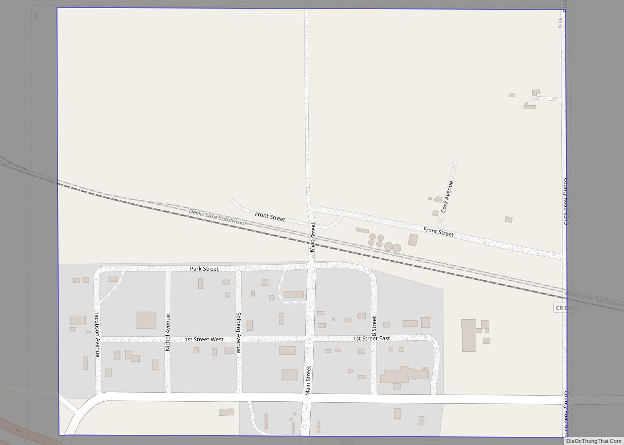
York is a small rural village in Benson County, North Dakota, United States. The population was 17 at the 2020 census. There is a gasoline station there, and a granary, and farm equipment repair services. York was founded in 1886 and named after York, England by Great Northern Railway President James J. Hill. It was ... Read more
Map of York city, North Dakota
Map of Wyndmere city
Wyndmere (/ˈwaɪnmɪər/ WYN-meer) is a city in Richland County, North Dakota, United States. The population was 454 at the 2020 census. Wyndmere was founded in 1883 and named after Windermere in England. It is part of the Wahpeton, ND–MN Micropolitan Statistical Area. Wyndmere city overview: Name: Wyndmere city LSAD Code: 25 LSAD Description: city (suffix) ... Read more
Map of Wyndmere city
Map of Alda village
Alda is a village in Hall County, Nebraska, United States. The population was 642 at the 2010 census. It is part of the Grand Island, Nebraska Micropolitan Statistical Area. Alda village overview: Name: Alda village LSAD Code: 47 LSAD Description: village (suffix) State: Nebraska County: Hall County Elevation: 1,916 ft (584 m) Total Area: 0.56 sq mi (1.46 km²) Land ... Read more
Map of Alda village
Map of Albion city, Nebraska
Albion is a city in and the county seat of Boone County, Nebraska, United States. The population was 1,650 at the 2010 census. Albion city overview: Name: Albion city LSAD Code: 25 LSAD Description: city (suffix) State: Nebraska County: Boone County Elevation: 1,772 ft (540 m) Total Area: 1.04 sq mi (2.70 km²) Land Area: 1.04 sq mi (2.70 km²) Water Area: 0.00 sq mi ... Read more
Map of Albion city, Nebraska
Map of Ainsworth city, Nebraska
Ainsworth is a city and county seat of Brown County, Nebraska, United States. The population was 1,728 at the 2010 census. Ainsworth city overview: Name: Ainsworth city LSAD Code: 25 LSAD Description: city (suffix) State: Nebraska County: Brown County Elevation: 2,520 ft (768 m) Total Area: 1.00 sq mi (2.60 km²) Land Area: 1.00 sq mi (2.60 km²) Water Area: 0.00 sq mi (0.00 km²) Total ... Read more
Map of Ainsworth city, Nebraska
Map of Adams village, Nebraska
Adams is a village in Gage County, Nebraska, United States. The population was 604 at the 2020 census. Adams village overview: Name: Adams village LSAD Code: 47 LSAD Description: village (suffix) State: Nebraska County: Gage County Elevation: 1,247 ft (380 m) Total Area: 0.59 sq mi (1.54 km²) Land Area: 0.59 sq mi (1.54 km²) Water Area: 0.00 sq mi (0.00 km²) Total Population: 604 Population ... Read more
Map of Adams village, Nebraska
Map of Ansley village
Ansley is a village in Custer County, Nebraska, United States. The population was 441 at the 2010 census. Ansley village overview: Name: Ansley village LSAD Code: 47 LSAD Description: village (suffix) State: Nebraska County: Custer County Elevation: 2,306 ft (703 m) Total Area: 0.72 sq mi (1.86 km²) Land Area: 0.72 sq mi (1.86 km²) Water Area: 0.00 sq mi (0.00 km²) Total Population: 459 Population ... Read more
Map of Ansley village
Map of Anselmo village
Anselmo is a village in Custer County, Nebraska, United States. The population was 145 at the 2010 census. Anselmo village overview: Name: Anselmo village LSAD Code: 47 LSAD Description: village (suffix) State: Nebraska County: Custer County Elevation: 2,605 ft (794 m) Total Area: 0.27 sq mi (0.69 km²) Land Area: 0.27 sq mi (0.69 km²) Water Area: 0.00 sq mi (0.00 km²) Total Population: 108 Population ... Read more
Map of Anselmo village
Map of Anoka village, Nebraska
Anoka is a village in Boyd County, Nebraska, United States. The population was 6 at the 2010 census. Anoka village overview: Name: Anoka village LSAD Code: 47 LSAD Description: village (suffix) State: Nebraska County: Boyd County Elevation: 1,647 ft (502 m) Total Area: 0.56 sq mi (1.45 km²) Land Area: 0.56 sq mi (1.45 km²) Water Area: 0.00 sq mi (0.00 km²) Total Population: 10 Population ... Read more
Map of Anoka village, Nebraska
Map of Amherst village, Nebraska
Amherst is a village in Buffalo County, Nebraska, United States. It is part of the Kearney, Nebraska Micropolitan Statistical Area. The population was 248 at the 2010 census. Amherst village overview: Name: Amherst village LSAD Code: 47 LSAD Description: village (suffix) State: Nebraska County: Buffalo County Elevation: 2,356 ft (718 m) Total Area: 0.22 sq mi (0.57 km²) Land Area: ... Read more
Map of Amherst village, Nebraska
Map of Ames CDP, Nebraska
Ames is an unincorporated hamlet in southern Dodge County, Nebraska, United States. As of the 2010 census it had a population of 24. Ames lies along U.S. Route 30, west of the city of Fremont, the county seat of Dodge County. Its elevation is 1,227 feet (374 m) above sea level, and it is located at ... Read more
Map of Ames CDP, Nebraska
Map of Alvo village
Alvo is a village in Cass County, Nebraska, United States. The population was 115 at the 2020 census. Alvo village overview: Name: Alvo village LSAD Code: 47 LSAD Description: village (suffix) State: Nebraska County: Cass County Elevation: 1,339 ft (408 m) Total Area: 0.10 sq mi (0.26 km²) Land Area: 0.10 sq mi (0.26 km²) Water Area: 0.00 sq mi (0.00 km²) Total Population: 115 Population ... Read more
Map of Alvo village