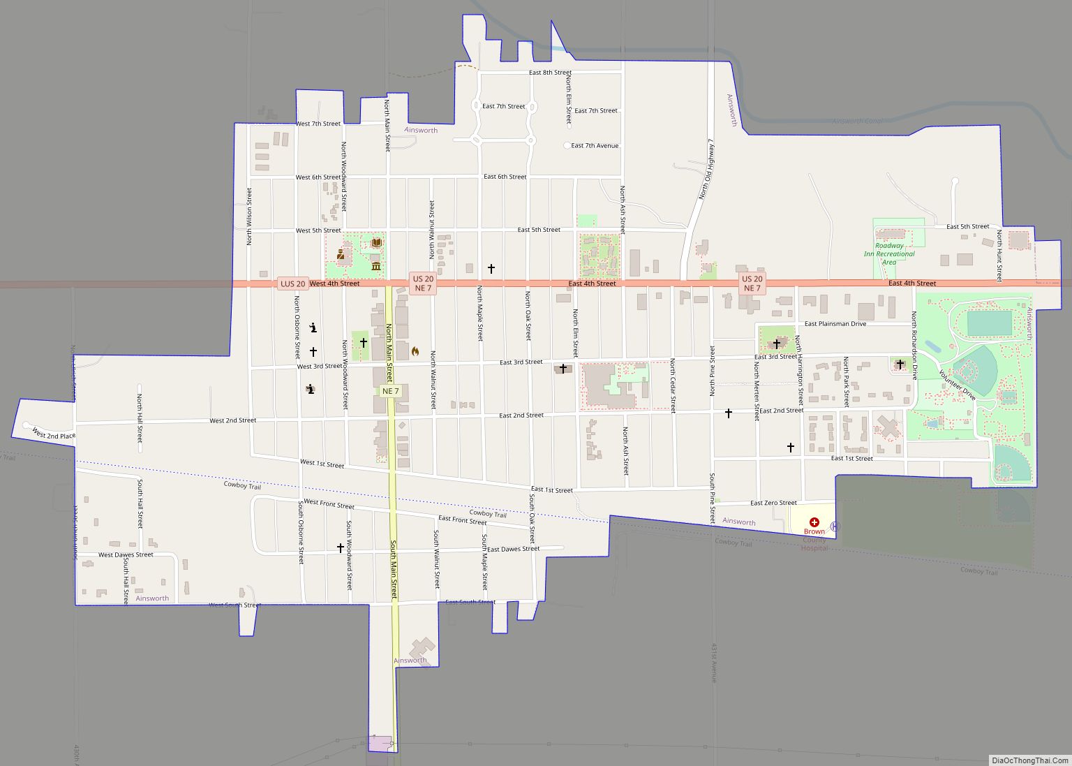
Ainsworth is a city and county seat of Brown County, Nebraska, United States. The population was 1,728 at the 2010 census.
| Name: | Ainsworth city |
|---|---|
| LSAD Code: | 25 |
| LSAD Description: | city (suffix) |
| State: | Nebraska |
| County: | Brown County |
| Elevation: | 2,520 ft (768 m) |
| Total Area: | 1.00 sq mi (2.60 km²) |
| Land Area: | 1.00 sq mi (2.60 km²) |
| Water Area: | 0.00 sq mi (0.00 km²) |
| Total Population: | 1,616 |
| Population Density: | 1,609.56/sq mi (621.46/km²) |
| ZIP code: | 69210 |
| Area code: | 402 |
| FIPS code: | 3100415 |
| GNISfeature ID: | 0826919 |
| Website: | cityofainsworth.com |
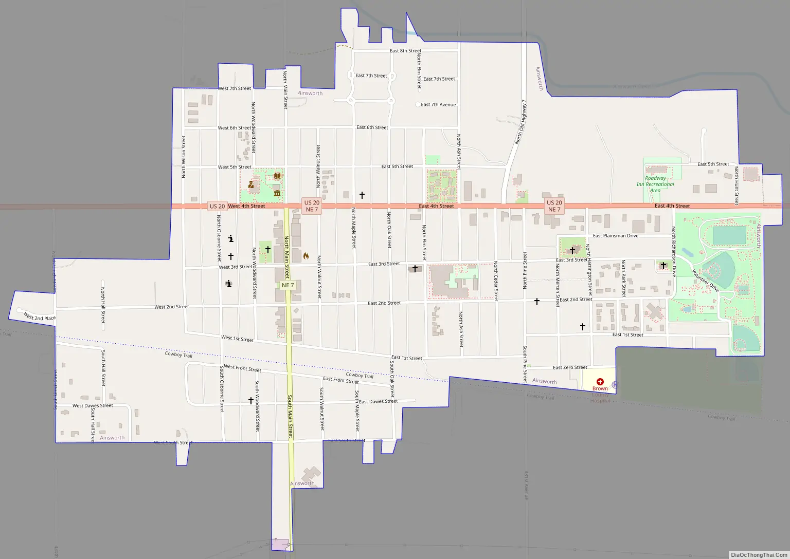
Online Interactive Map
Click on ![]() to view map in "full screen" mode.
to view map in "full screen" mode.
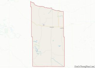
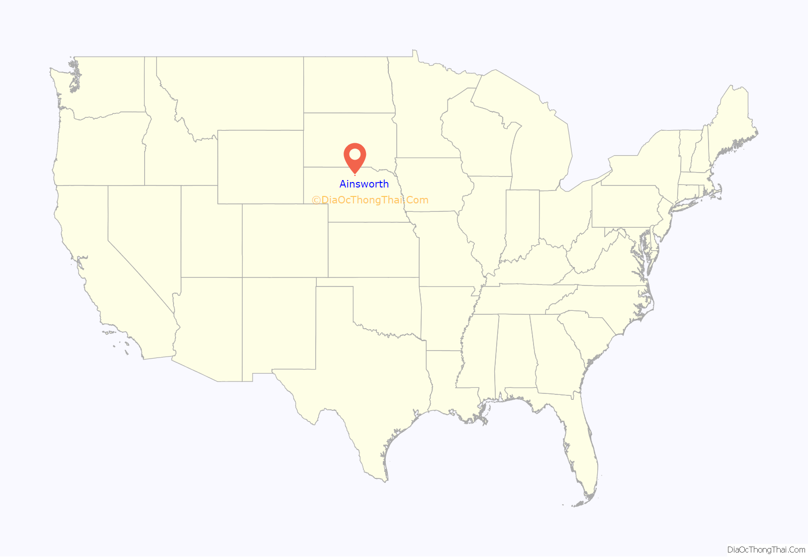
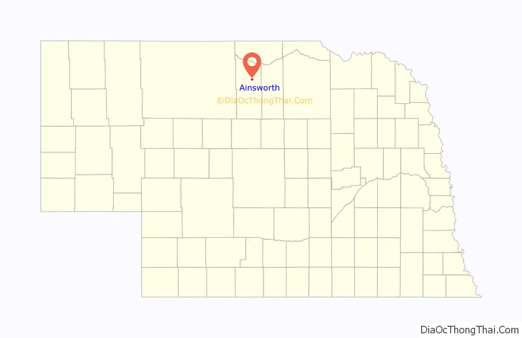
Ainsworth location map. Where is Ainsworth city?
History
Ainsworth was platted in 1883 when the railroad was extended to that point. It was named for James E. Ainsworth, a railroad engineer who was instrumental in building the railroad through Brown County. Ainsworth was incorporated as a village in December 1883.
Ainsworth Road Map
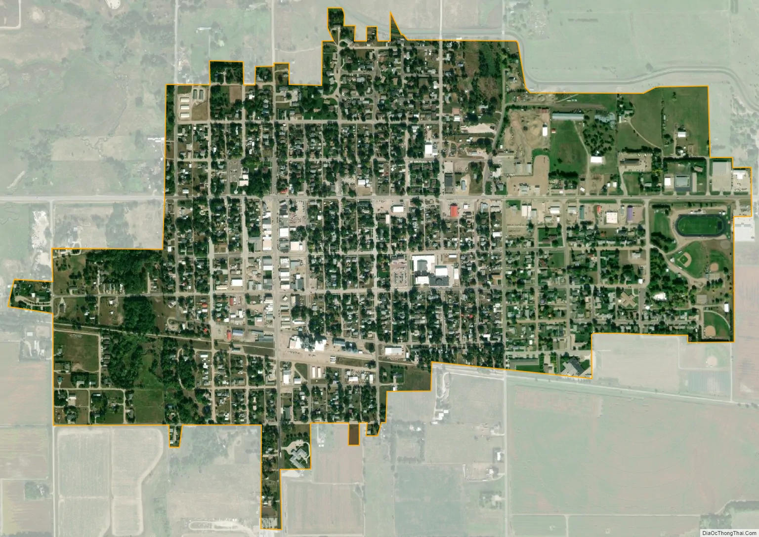
Ainsworth city Satellite Map
Geography
Ainsworth is located at 42°32′51″N 99°51′32″W / 42.54750°N 99.85889°W / 42.54750; -99.85889 (42.547421, -99.859022). According to the United States Census Bureau, the city has a total area of 1.00 square mile (2.59 km), all land.
Climate
The climate in this area is characterized by hot, humid summers and generally cool to cold winters. According to the Köppen Climate Classification system, Ainsworth has a humid continental climate, abbreviated “Dfa” on climate maps.
See also
Map of Nebraska State and its subdivision:- Adams
- Antelope
- Arthur
- Banner
- Blaine
- Boone
- Box Butte
- Boyd
- Brown
- Buffalo
- Burt
- Butler
- Cass
- Cedar
- Chase
- Cherry
- Cheyenne
- Clay
- Colfax
- Cuming
- Custer
- Dakota
- Dawes
- Dawson
- Deuel
- Dixon
- Dodge
- Douglas
- Dundy
- Fillmore
- Franklin
- Frontier
- Furnas
- Gage
- Garden
- Garfield
- Gosper
- Grant
- Greeley
- Hall
- Hamilton
- Harlan
- Hayes
- Hitchcock
- Holt
- Hooker
- Howard
- Jefferson
- Johnson
- Kearney
- Keith
- Keya Paha
- Kimball
- Knox
- Lancaster
- Lincoln
- Logan
- Loup
- Madison
- McPherson
- Merrick
- Morrill
- Nance
- Nemaha
- Nuckolls
- Otoe
- Pawnee
- Perkins
- Phelps
- Pierce
- Platte
- Polk
- Red Willow
- Richardson
- Rock
- Saline
- Sarpy
- Saunders
- Scotts Bluff
- Seward
- Sheridan
- Sherman
- Sioux
- Stanton
- Thayer
- Thomas
- Thurston
- Valley
- Washington
- Wayne
- Webster
- Wheeler
- York
- Alabama
- Alaska
- Arizona
- Arkansas
- California
- Colorado
- Connecticut
- Delaware
- District of Columbia
- Florida
- Georgia
- Hawaii
- Idaho
- Illinois
- Indiana
- Iowa
- Kansas
- Kentucky
- Louisiana
- Maine
- Maryland
- Massachusetts
- Michigan
- Minnesota
- Mississippi
- Missouri
- Montana
- Nebraska
- Nevada
- New Hampshire
- New Jersey
- New Mexico
- New York
- North Carolina
- North Dakota
- Ohio
- Oklahoma
- Oregon
- Pennsylvania
- Rhode Island
- South Carolina
- South Dakota
- Tennessee
- Texas
- Utah
- Vermont
- Virginia
- Washington
- West Virginia
- Wisconsin
- Wyoming