Alda is a village in Hall County, Nebraska, United States. The population was 642 at the 2010 census. It is part of the Grand Island, Nebraska Micropolitan Statistical Area.
| Name: | Alda village |
|---|---|
| LSAD Code: | 47 |
| LSAD Description: | village (suffix) |
| State: | Nebraska |
| County: | Hall County |
| Elevation: | 1,916 ft (584 m) |
| Total Area: | 0.56 sq mi (1.46 km²) |
| Land Area: | 0.56 sq mi (1.46 km²) |
| Water Area: | 0.00 sq mi (0.00 km²) |
| Total Population: | 647 |
| Population Density: | 1,145.13/sq mi (441.92/km²) |
| ZIP code: | 68810 |
| Area code: | 308 |
| FIPS code: | 3100625 |
| GNISfeature ID: | 0826936 |
Online Interactive Map
Click on ![]() to view map in "full screen" mode.
to view map in "full screen" mode.
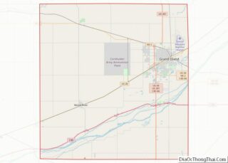
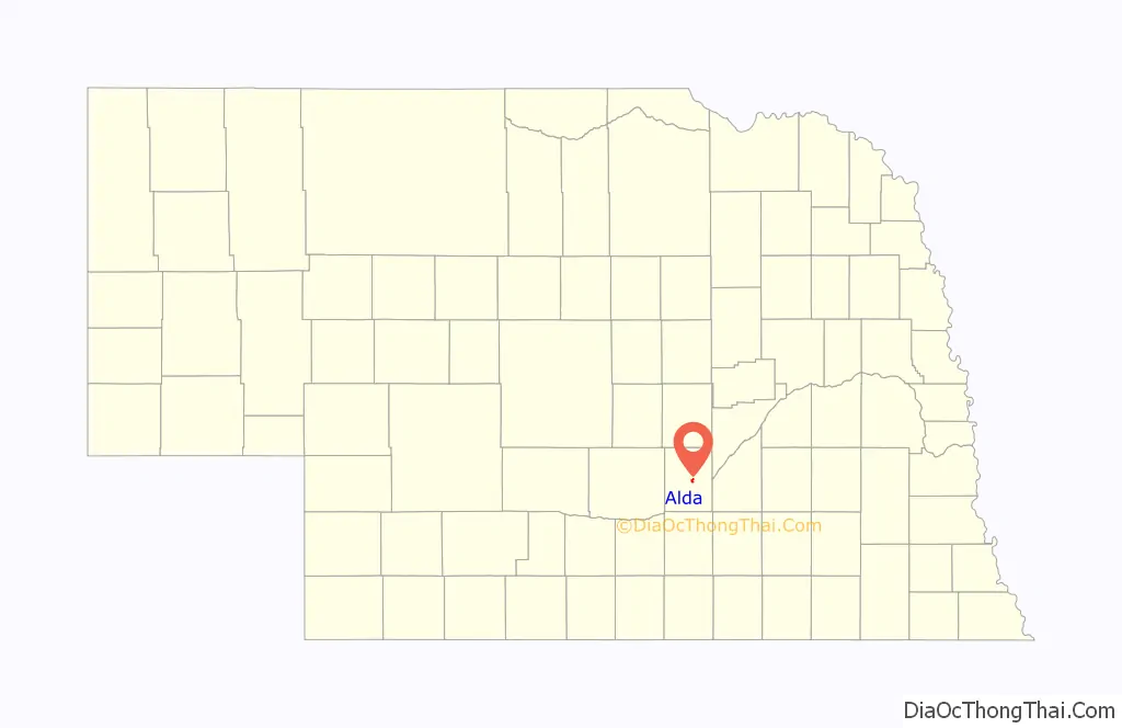
Alda location map. Where is Alda village?

History
The Alda area was first settled in 1859. The village has the name of the first white child born within its borders. The town of Alda moved to its current site in 1873 in order to be on the railroad.
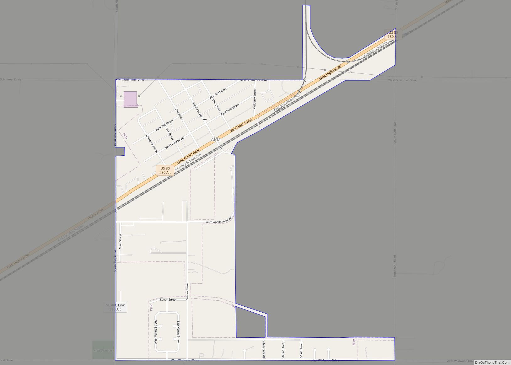
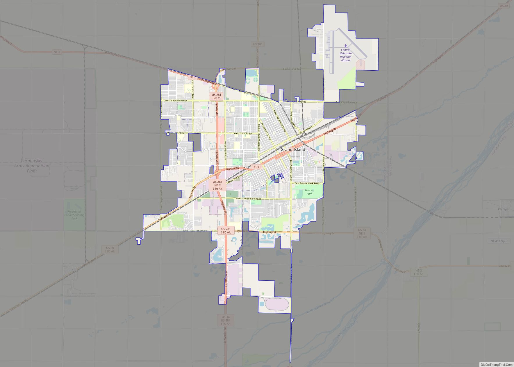
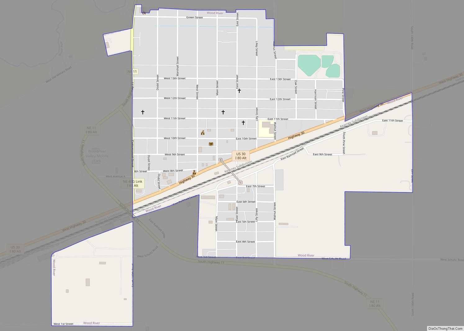
Alda Road Map

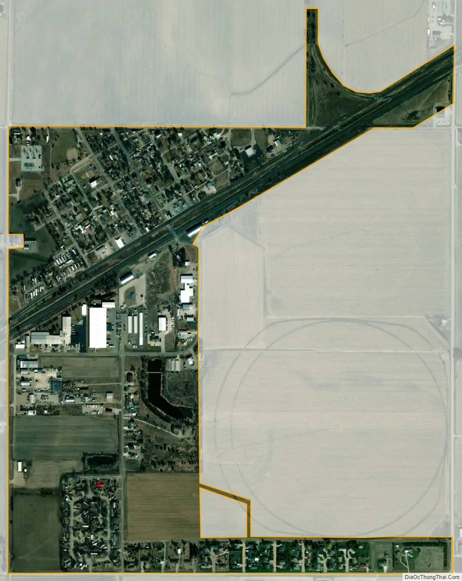
Alda city Satellite Map
Geography
Alda is located at 40°52′8″N 98°28′7″W / 40.86889°N 98.46861°W / 40.86889; -98.46861 (40.868932, -98.468529).
According to the United States Census Bureau, the village has a total area of 0.35 square miles (0.91 km), all land.
See also
Map of Nebraska State and its subdivision:- Adams
- Antelope
- Arthur
- Banner
- Blaine
- Boone
- Box Butte
- Boyd
- Brown
- Buffalo
- Burt
- Butler
- Cass
- Cedar
- Chase
- Cherry
- Cheyenne
- Clay
- Colfax
- Cuming
- Custer
- Dakota
- Dawes
- Dawson
- Deuel
- Dixon
- Dodge
- Douglas
- Dundy
- Fillmore
- Franklin
- Frontier
- Furnas
- Gage
- Garden
- Garfield
- Gosper
- Grant
- Greeley
- Hall
- Hamilton
- Harlan
- Hayes
- Hitchcock
- Holt
- Hooker
- Howard
- Jefferson
- Johnson
- Kearney
- Keith
- Keya Paha
- Kimball
- Knox
- Lancaster
- Lincoln
- Logan
- Loup
- Madison
- McPherson
- Merrick
- Morrill
- Nance
- Nemaha
- Nuckolls
- Otoe
- Pawnee
- Perkins
- Phelps
- Pierce
- Platte
- Polk
- Red Willow
- Richardson
- Rock
- Saline
- Sarpy
- Saunders
- Scotts Bluff
- Seward
- Sheridan
- Sherman
- Sioux
- Stanton
- Thayer
- Thomas
- Thurston
- Valley
- Washington
- Wayne
- Webster
- Wheeler
- York
- Alabama
- Alaska
- Arizona
- Arkansas
- California
- Colorado
- Connecticut
- Delaware
- District of Columbia
- Florida
- Georgia
- Hawaii
- Idaho
- Illinois
- Indiana
- Iowa
- Kansas
- Kentucky
- Louisiana
- Maine
- Maryland
- Massachusetts
- Michigan
- Minnesota
- Mississippi
- Missouri
- Montana
- Nebraska
- Nevada
- New Hampshire
- New Jersey
- New Mexico
- New York
- North Carolina
- North Dakota
- Ohio
- Oklahoma
- Oregon
- Pennsylvania
- Rhode Island
- South Carolina
- South Dakota
- Tennessee
- Texas
- Utah
- Vermont
- Virginia
- Washington
- West Virginia
- Wisconsin
- Wyoming